Upper Mazzie Loop: Saddle Ridge to Bull Spring Saddle
This morning started like so many of my Mazatzal adventures: pitch-black sky, frigid air, and a stumbling gait towards semi-familiar lands. There was something different about it, something that I tried to ignore, lest I jinx the whole outing. If I succeeded in this overnight loop then I'd finish my original project of hiking every mile of every trail in this wilderness. To succeed, though, would take every bit of experience and endurance that I've built over the last few years in Arizona.
My planned loop was simple in concept. Follow Saddle Ridge down to East Verde River, take Bull Spring all the way up to Wet Bottom, Wet Bottom down to Highwater, then Highwater to Verde River back up to Twin Buttes Trailhead. A straight-forward, true loop, that was over fifty miles in length and over 9000' of elevation gain and included fifteen miles of truly unknown trail. Simple in concept and more complicated in practice.
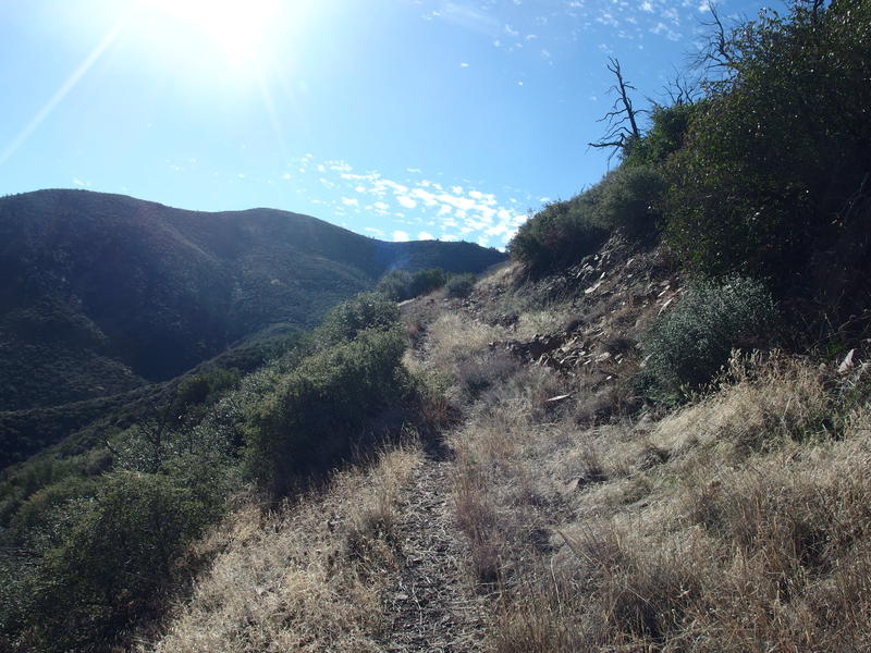
Couldn't worry about that now, or let the pressure distract me, need to focus on getting distance behind me. The first mile was on FR 194, or Twin Buttes Road, and my ultralight (aka weak) headlamp did just fine helping me under the almost-new-moon sky. Then I turned south on Saddle Ridge Trail, which was initially just another forest road to stroll down. It wasn't until six that I had to follow single track in the darkness. The tread was faint in the grass and the cairns were shadows indistinct from the surrounding trees. For the next hour I stumbled on and off the path multiple times, cursing occasionally at the sliver of moon on the horizon that provided no assistance.
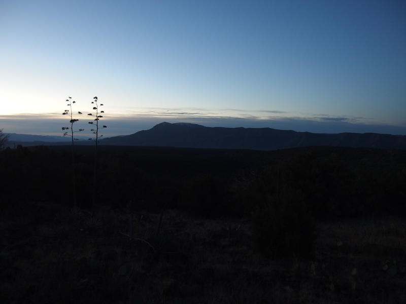
Predawn light on North Peak
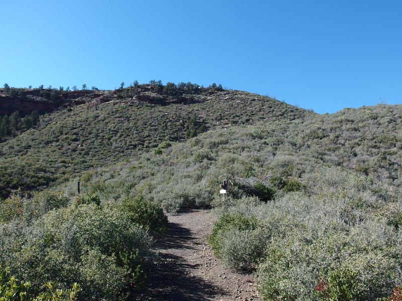
When the predawn light was enough to turn off my headlamp I was already down Saddle Ridge proper and walking along Whiterock Mesa. See, this trail makes three big steps on the way down to East Verde River. The top step is Saddle Ridge, which is mostly big rocks, grasslands, and scattered pines, making for difficult trail. Next is Whiterock Mesa where the forest grows closer and a solid dirt tread makes for easy hiking. Last is Polles Mesa, which is more open with smaller, stumbling rocks poking out. I made quick work of Whiterock, covering the entire thing in an hour, over eight miles finished by eight in the morning.
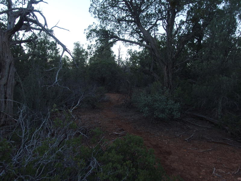
Thick, green growth on Saddle Ridge
This trail really is beautiful, and, because it's part of the AZT, very well-defined. I'd love to come out here with a few friends and enjoy it at a slower pace. However, when I hike solo I hike fast, and I was on a tight schedule to boot. My goal was to reach the Brush Trail junction by noon, which was sixteen miles from my parking area. I was happy to be halfway there so early in the day, though I knew I needed to give my legs a break soon.
The end of Whiterock Mesa has two awesome features. First is a campsite perched right at the crest, with ridiculous views south and large junipers providing ample shade. A short distance further on the trail, below the crest, is a metal trough filled from Whiterock Spring, which was crisp and fresh today. I stopped here, dropping my sweaty pack and changing my socks, polishing off one of my water bottles before filtering a new one to enjoy later.
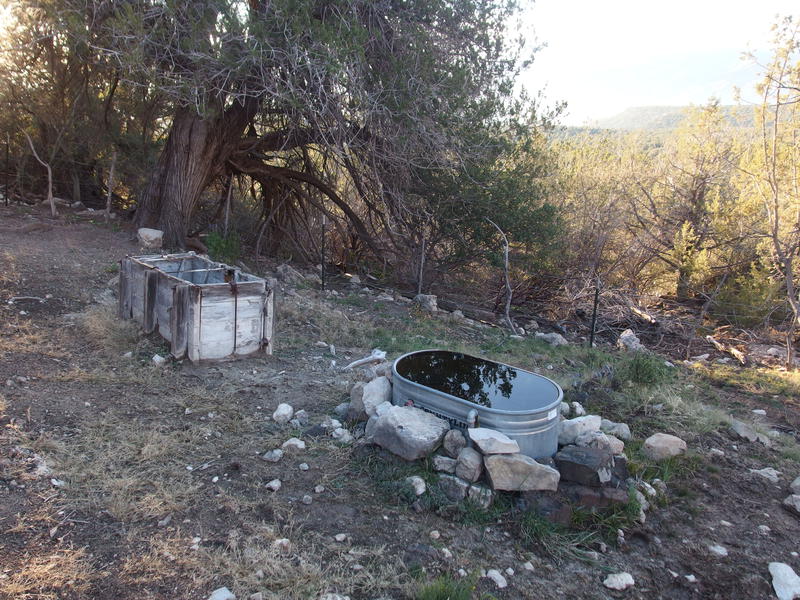
Overflow at Whiterock Spring
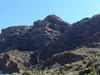
Another interesting thing about Whiterock Mesa was the rocks. They are limestone, and the cairns are limestone, and the steep drop down was over chalky white rock that looked like limestone. The forest that grew on top was thick and the tread was dirt, evidence of a rich ecosystem. Saddle Ridge higher up may have a slightly cooler climate, but the rocks up there are basalt, and the trees had to fight harder to take root. I wondered ideally what Polles Mesa would be like as I pulled my gear back on and continued down the trail.
The thick, pleasant forest continued for a short distance, spilling over the edge of the previous mesa, and then it died out and was replaced by spindly scattered trees over rocky ground. Guess we're back to the basalt and poor soil. The tread was more difficult to follow again, dark cairns and short grass covering any hints of the route, and I wandered off a few times, even under the bright morning sun. At least the views of North Peak and the hills around Bull Spring were nice, especially with a dusting of snow on the higher slopes.
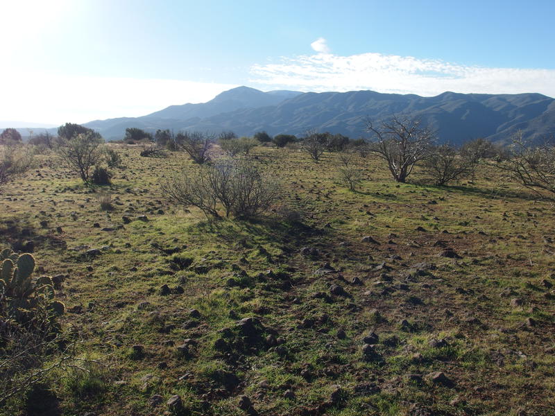
Stumbling rocks and big views on Polles Mesa
Dropping off of Polles Mesa was painful at best. It is a steep 600' drop over rolling rocks, frequently cut with washouts, and I traveled slow to keep from tweaking my knees so early into my trip. It was wide, most likely a road at some point, and I'm guessing that the ranch below may have cut this road up to the mesa and then ended it, as there was no hint of a road further to the north. When I reached the bottom and saw a sign for Polk Spring I practically leaped off the trail, looking for any excuse to stop and catch my breath and snap a few photos.
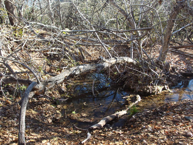
Source of Polk Spring
Polk Spring is a cool spot. Below the source it feeds a pleasant little creek through a meadow, tall trees on each side, surprisingly open from the clinging brush that most Arizona water spots seem to attract. I wonder if this openness is from grazing cattle or if LF Ranch clears it out… for their grazing cattle. Regardless, it's a nice area.
From the spring it's a short half mile to East Verde River. The tread is wide and easy, so much nicer than that drop off of Polles Mesa, and even the section from a nearby unnamed seep that coated one of my boots with clinging mud couldn't dampen my spirits. I practically skipped down the rest of the way and, after a quick recon, hopped across the river, purposefully splashing the one boot to clear the heavy mud clots off. Ah, if I could have only sensed the foretelling.
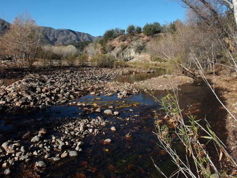
Easy crossing of East Verde River
Once on the south side of the river the trail got suddenly rocky and hot. There was no shade, and I realized that I was, once again, entering the Willow Fire burn area. Hard to do any long hike in the Mazatzals without dealing with fire damage. The next half mile dragged as I made my way around LF Ranch, and my legs suddenly began to complain about the fast pace I had been pushing on them all morning. I reached FR 406W, which leads back to Doll Baby Trailhead, and then quickly connected with the start of Bull Spring Trail, which was just as rocky and dreadful as I remembered it.
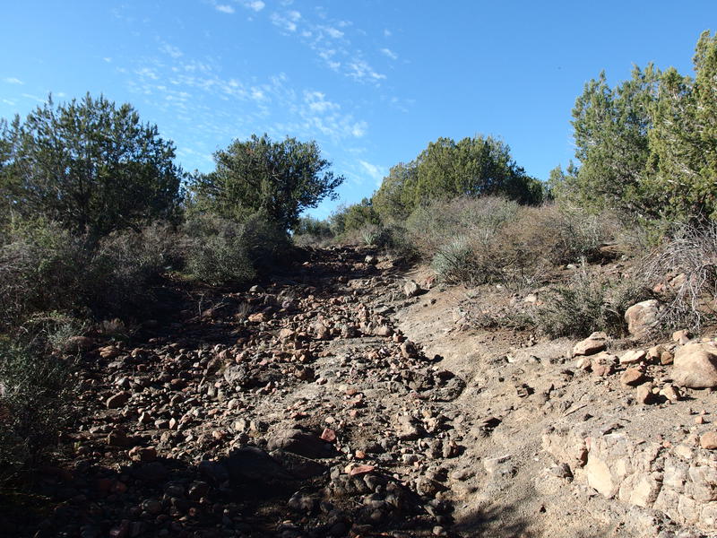
A rough, rolling start to Bull Spring Trail
The trail slides along the face of 5366' ahead
Not willing to give myself a break quite yet I pushed up the trail, reached the saddle of Copper 'Mountain', and dropped down into a shallow Bullfrog Canyon. It was here, fourteen miles in, that I gave myself the second break of the morning, huddling in a small chunk of shade and drinking deeply from my water. I even treated myself to some caffeine gel. So far today I had walked downhill, covering a lot of distance while moving downhill, and now I had to climb 2000' up a relentless and hot grade. This was not the time to be conservative about my intake.
The last time I had been on this trail was last December, when I had hiked to Fuller Seep and bailed early, and this had been a long descent after sunset with a heavy pack on. I remembered that it was constant, smooth, and overall pleasant. Now I was heading up. With fresh energy flowing through me it was surprisingly enjoyable. Sure, I was dripping sweat the entire time, even with the mild Arizonan winter temperatures, and my legs burned with exertion, and it felt great.
A steady, relentless climb
Finally at the trail junction
I reached the junction with Brush Trail at 11:20, ahead of schedule, and quickly turned with Bull Spring Trail to finish the climb. There was a short bit to go beyond the junction to reach the actual saddle above. By continuing on Bull Spring I was leaving the AZT - that route goes south along Brush, hitting a different saddle on the other side of 5556', heading towards Red Hills and Knob Mountain. Instead I was now turning west into more remote trails, trails that were seldom traveled and heavily damaged by the fire, and I turned with some apprehension. The brush quickly grew closer to the tread and I had some difficulty making out the rest of the way up.
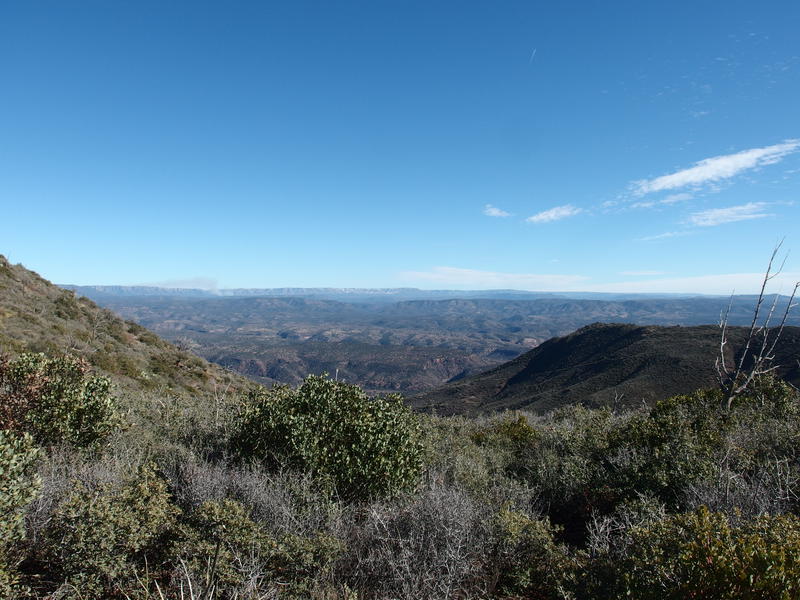
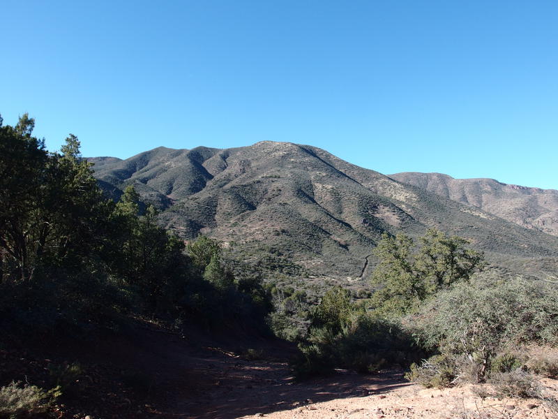
Looking east towards the Mogollon Rim
On the saddle I paused, taking in the moment, and enjoyed the big views out east. There was snow on the Mogollon Rim and some sort of fire out by Payson, hopefully a planned, small burn and not something more serious. I was surrounded by scrub and manzanita and other low, annoying brush, as well as the skeletal remains of what must have once been a pleasant pinyon forest, a mirror of what I had just hiked through on the other side of the East Verde River. Somewhere ahead of me was an old cabin and remote basins and, possibly, one of the nicest trails out here, a remnant of pre-fire days. The only way I'd find out is if I kept moving, so I turned away and headed into the depths of the wilderness.
Comments (0)