Maple Ridge of Merriweather
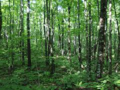
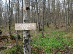
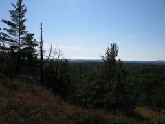
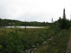
As the Keweenaw Ridge stretches south of Greenland and Rockland it begins to twist west meander around. By the time it passes Norwich there are multiple lines present. The northern ridge has plenty of great hiking destinations, like the Trap Hills and Cookout Mountain. The southern ridge is a bit…