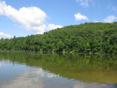
Moody-Coon Loop: Coon Creek

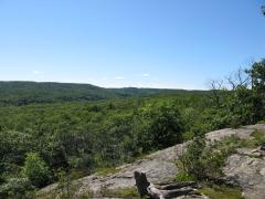
Waking up in the Sierra Ancha Wilderness, sleeping under a twisted oak with only a down quilt between me and the elements, was a pleasant and leisurely affair. I ignored the predawn rush and continued reading my book from last night, eagerly devouring the last dozen chapters before emerging onto a…