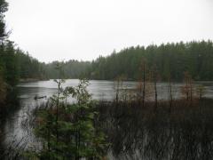
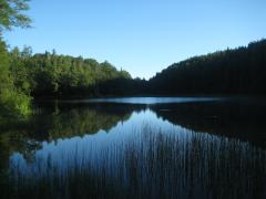
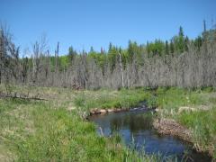
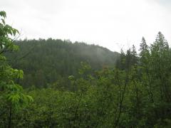
A Hike Around Cliff Lake
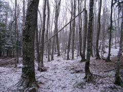
Snow plummeted from the sky. The large lake-formed flakes didn't swirl or drift like normal, like they were designed to do. They cut through the woods on a stiff breeze and tumbled onto the leaf-covered ground. At first the flakes melted quickly on the warm ground. Then, steadily, a thin white…