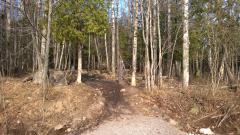
The Hill of Ericks Road
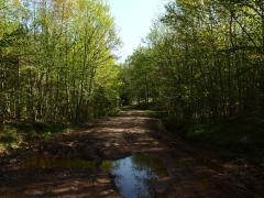
Roads that lead east from Big Erick's tend to lose their name. Sure, there is Ford and the Northwestern, two roads that are difficult to define as they twist and fork over rocky and pitted ground. There's one road that I've always called Erick's, the one that leads past Bald Mountain and along the…