Descent to Fossil Creek
Soft pastels lit the clear sky above me in muted tones, whispers before the terrible forecasted high temperatures this weekend. I appreciated the chilly sixty-odd degree temperatures found on Hardscrabble Mesa this early in the morning. Another early start today, this time leaving Phoenix a few hours after midnight, had rewarded me with a cool hour of hiking before the sunrise. My van was parked along FR 194 under some powerlines and I had walked the final 2.5 miles of road to Twin Buttes Trailhead. Now I just needed to descend another ten miles on the Verde River Trail to reach the protective shade and year-round water of Fossil Creek in a race against the sun.
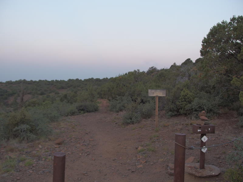
Dim morning light on Twin Buttes Trailhead
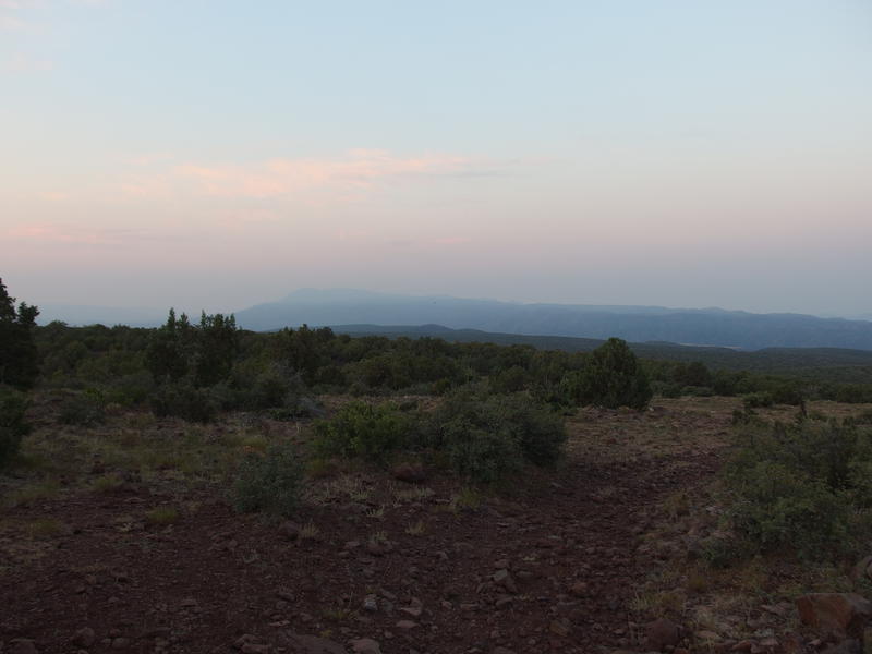
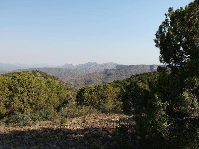
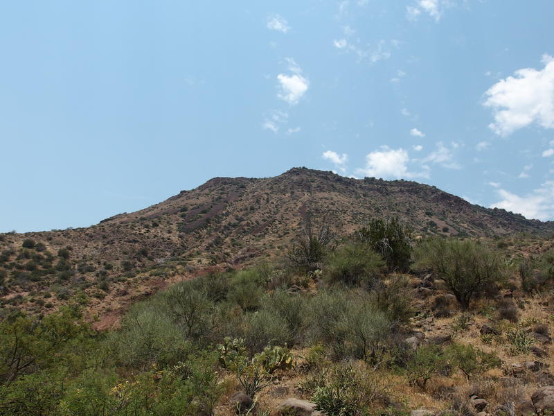
Distant and hazy North Peak
Before I began the downward hike I paused at the trailhead, enjoying this moment. The views were incredible. Up until today I had been systematically knocking out trails in the southern and eastern halves of the Mazatzals and completely ignoring the vast north side. Now I stood at Twin Buttes, at one of the three northernmost trailheads, with a planned route that would become a firm step into these lands. One last look towards a hazy North Peak and I began trotting down the hillside.
The planned route was simple. Take the Verde River Trail down towards Fossil Creek, take Deadman Mesa Trail along the creek, camp on the banks, then follow Deadman Mesa back up. Connecting the two trailheads was a bit more involved, with 11 miles of two-tracks and powerlines, though the connection would be on mostly-level ground and have minimal bushwhacking. The whole loop was about 28 miles. This was almost dayhike length if it wasn't for the section along Fossil Creek. I've heard rumors that hiking along the creek was unreasonably tough, so I had everything I needed for an overnight, including sandals for swimming and wading through the creek.
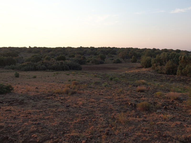
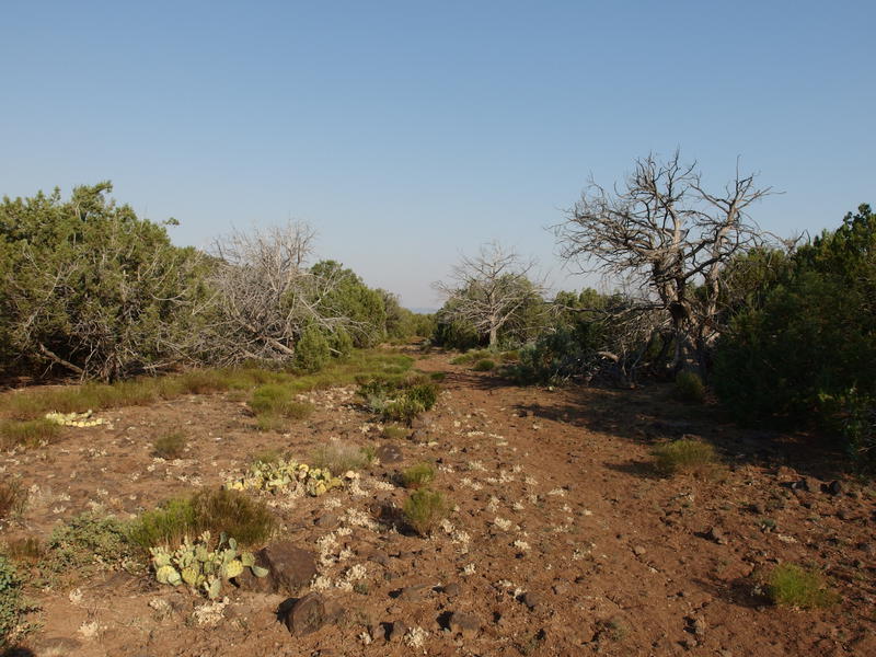
Morning light coloring the mesa
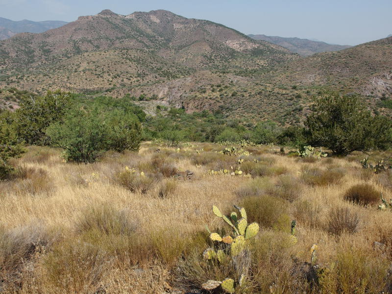
Walking downhill is a bit treacherous with my right knee these days, so I approached the Verde River Trail with a degree of caution. It drops 1500' in 6 miles, then another 1400' in 2.5, and is a loose, rocky thing the entire time. Turns out that I had little to worry about. Most of it was an old two-track faded by time, with vegetation growing between old treads to stabilize things, and the rest was a well-worn footpath. There were a few rolls, just nothing that hurt too bad.
What I didn't expect was how much the terrain affected me. Sure, it was standard high-desert grassland, about what one could expect in the western Mazatzals near Sheep Creek and Club Cabin. The lack of a wildfire was blatantly apparent, though. There were actual trees, and green vegetation, and plenty of old ranching fences. The East Verde River protected these lands from the Willow Fire and, so far, there has not been a separate event up here in recent times. Just how different these mesas were from the Mazatzals, plus the unscathed vegetation and big views, made me realize just how huge the wilderness is.
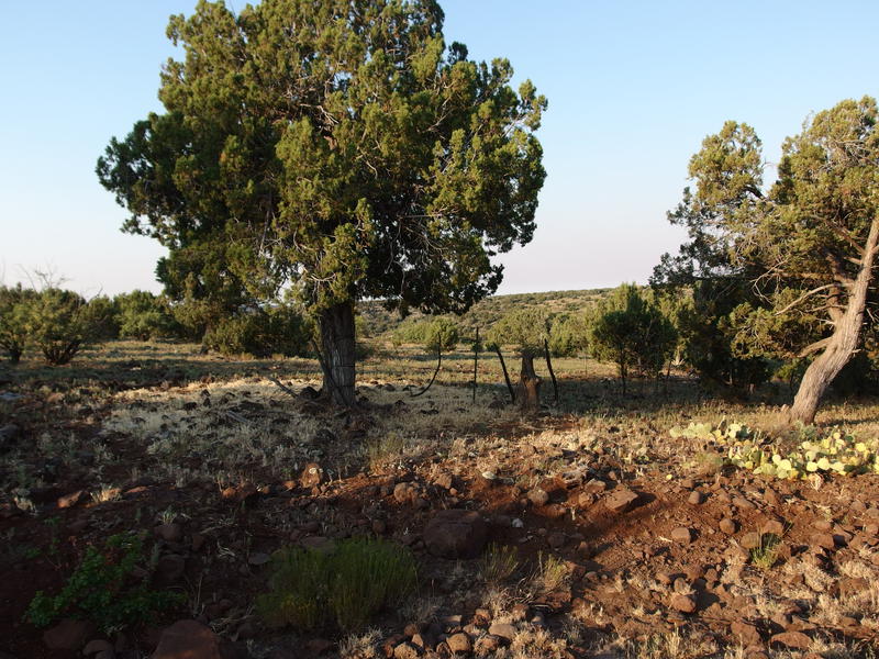
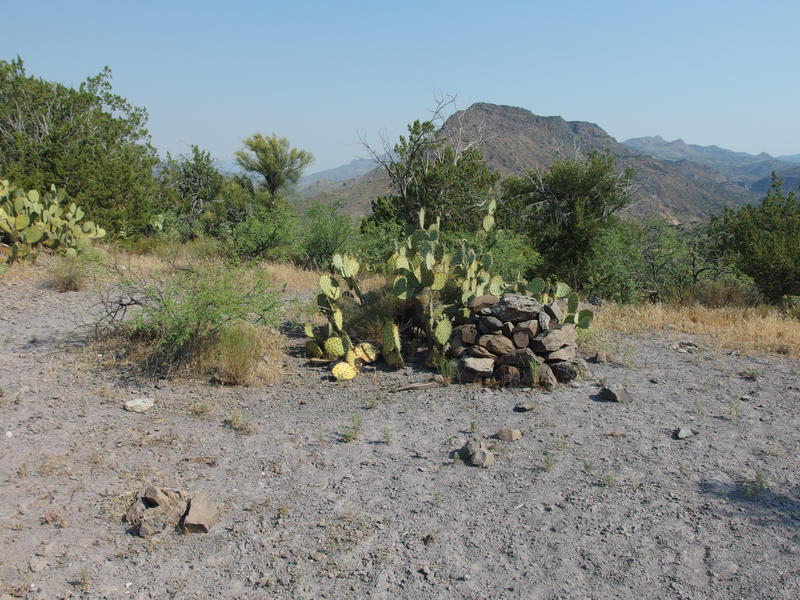
Old fencing remains near Camp Gulch
My planned rest stop at Camp Gulch showed up and I plopped down next to the trail, pulling off my boots and sipping some water. The early morning chill had worn off with the rising sun and my thermometer read eighty degrees. Triple digits weren't far off. At least I was over halfway to the promised shade and cool waters of Fossil Creek.
When I did pack my gear back up I noticed, to my horror, that I was missing a sandal. I checked, and double-checked, and confirmed that it was truly gone. Either I left it in the van or it had fallen off somewhere over the last seven miles. Backtracking was not really an option, not with my limited water supply and these temperatures. And I knew I would be back on this trail sometime in the coming months to pick anything up that I left behind. For today I could only hope the creek bed had a sandy bottom.
Stretch of beautiful trail
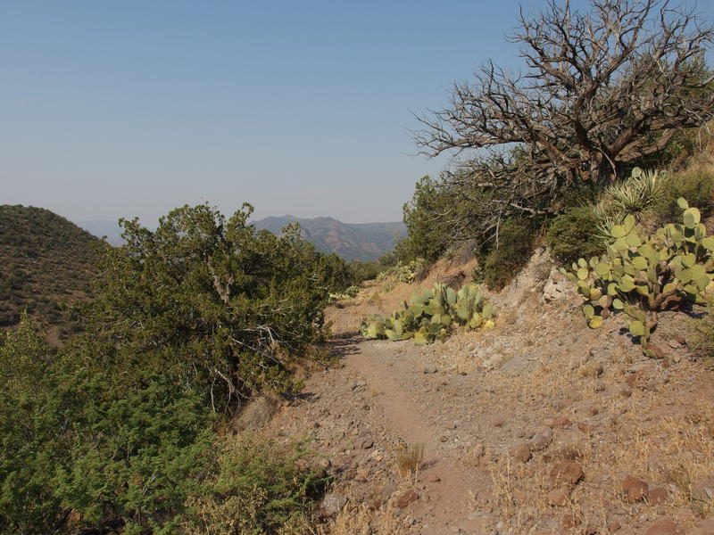
Rugged lands to the west
The trail west of Camp Gulch was a delight. Loose rocks began to fade away and solid dirt paths took over, a few spots even offering expansive views over the edge of the mesa. I could make out Ike's Backbone, which sat on the far side of Fossil Creek, as well as some unknown formations beyond. Maybe that's Pine Mountain over there? My knowledge of Arizona mountains and mesas are fuzzy at best this far north. Perhaps I can work on expanding that next year.
Old track leading down to the river
Level view of Ike's Backbone
After a brief dance along Cedar Bench the cairns led me over a ridge and down a quick switchback next to Bee Tree Tanks, one of the many tanks I passed today. As far as I can tell, tanks are built by ranchers to prolong short-lived water sources in this dry area and are basic dirt banks that dam up seasonal creeks or springs. They're not watertight by any means and most of them, including Bee Tree, had no water sitting in them today. Even if there was water I'd consider them only in a pinch. Tanks are usually skunky sources of water, fouled by a variety of animals.
My trail slunk down next to the ridge, eventually cutting over again before ending at a saddle. Finally. A well-marked trail led to the left off the saddle, dropping another 600' to the shore of Verde River itself. This trail continues all the way to Sheep Creek Bridge some twenty miles to the south, though that length would have to wait for another day. My route today should drop down the right side of the saddle, along the Deadman Mesa Trail. I hunted around for a sign, or a sign post, or even a suspicious log on the ground, and found nothing. There were small cairns, which would have to suffice. I turned and headed down towards Fossil Creek.
Unmarked junction with Deadman Mesa Trail
Hidden trail through the tall grass
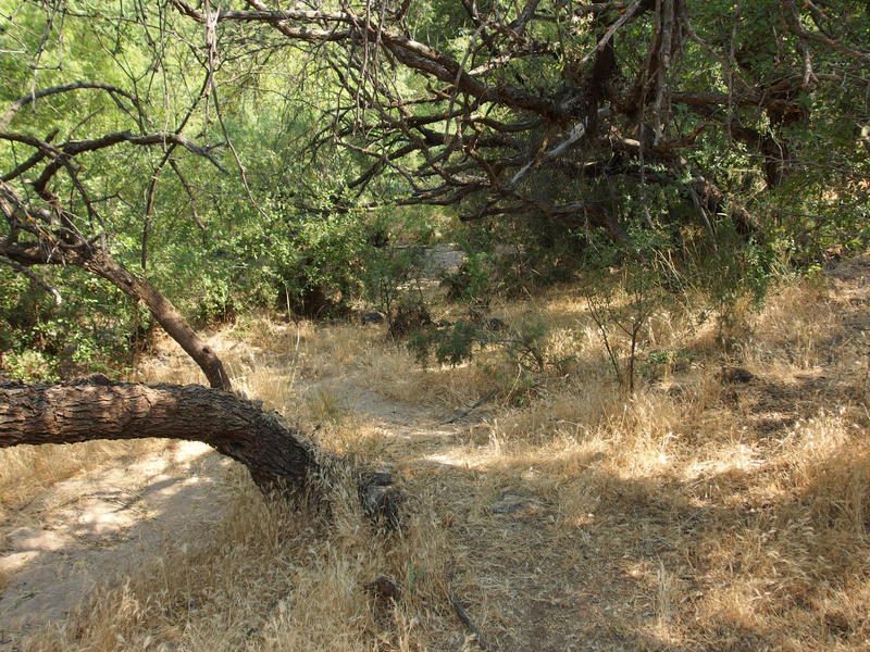
Compared to the Verde River Trail this path was invisible. There was no path through the grass, barely any tread to trace, and the cairns were all but swallowed up by the short vegetation. Someone, or some creature, had passed this way recently, and their slight pressing down of the foxtails helped guide me from one pile of rocks to the next. It reminded me of the tough route-finding on the east end of Sears Trail.
A few dozen yards above the creek and the path seemed to give up. I couldn't find any more cairns or trail, and, with the rushing waters so close by, I decided to simply bushwhack the final stretch. Half-tumbling, half-falling, and with a few thorns embedded in my hands I finally reached the rocky banks. I paused briefly to savor the moment, celebrating my quick arrival time to this point. Just past 9 in the morning and only a few miles to the base of Deadman Mesa. This could totally turn into a dayhike at this pace (it didn't).
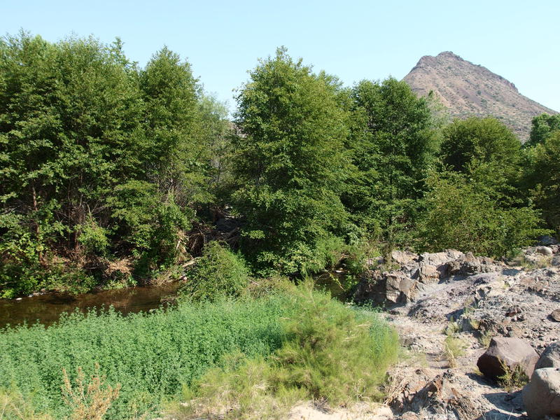
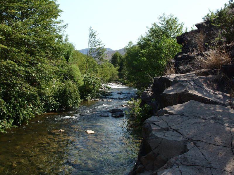
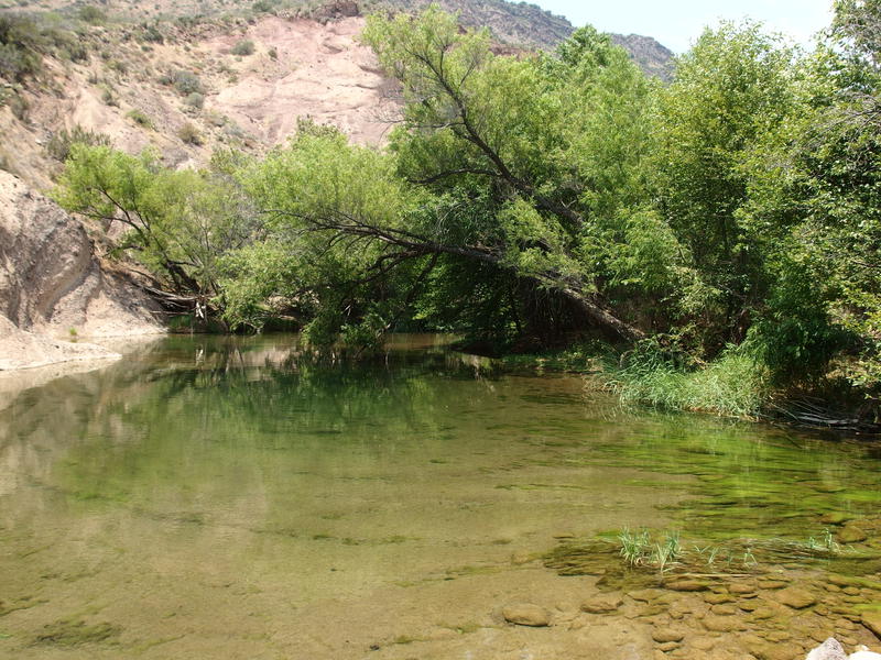
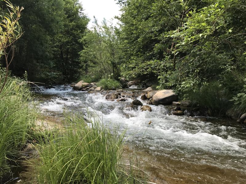
Finally next to Fossil Creek
So, Fossil Creek now. According to the topo maps the trail crosses the creek eight times between here and the climb up the mesa, eight times in three miles. With only one sandal on me I hoped that these crossings would be over rocks or sandy-bottomed pools. That was a concern for future Jacob. Or maybe not - perhaps I'd be able to stay on the eastern bank the whole time. For now I followed a game trail, or a non-cairned human trail, through low trees and grasslands, ducking when the branches reached too low, until I ran until a basalt blockade.
Mixed vegetation along the banks
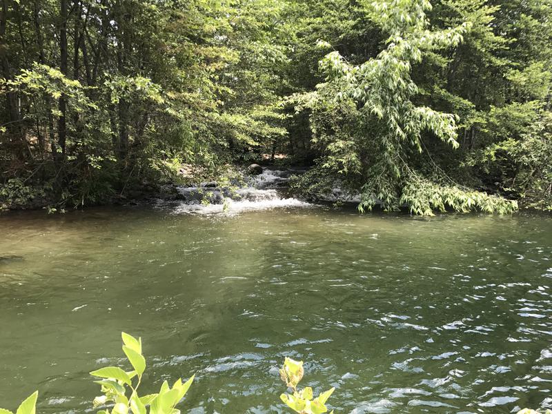
First of many little waterfalls
Double-checking my GPS to confirm I decided to cross here. There was a rocky rapids that would provide a mostly-dry crossing and the bank I was on was getting a bit steep for travel. Easing out over the rocks, sticking to the dry ones when I could and bracing on the slick wet ones when I had to, I made a slow crossing with only one awkward, splashing step. It took a while to find a good place on the west side of the creek to push on, with signs of recent floods clogging up the banks in a mess of downed trees and overgrown brush, and then I was done with my first crossing.
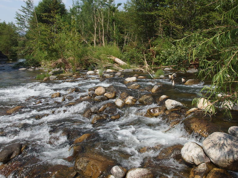
Fun crossing on slick rocks
A few minutes later I realized my mistake. Just above the rapids there was a solid wall of crumbling rock on the west bank and no way forward. Well, I could try climbing up the thing, which did not look like fun at all with the cacti clinging onto every ledge and crack. I putzed around, searching for a way forward, and found nothing. With a deep sign I backtracked to the rapids and crossed again, deciding to deal with the basalt steps instead of a solid wall. So much for trusting the old route on my GPS.
From this point on I decided to take a more ad-hoc path, crossing only when a bank became impassable. Just like any other waterway this thing swung back and forth between steep sides, forming one crook after another, and I could just jump from one crook to the next and avoid the longer, more difficult, outer edges. I got lucky here with the rapids, and with a downed tree for the next crossing, but the one after forced me to take off my boots and wade barefoot across a rocky pool. The cool water felt good on my feet and the break afterwards to dry my feet, while annoying, gave me an excuse to filter some fresh water and relax.
Dry mouth of Hardscrabble Creek
The second crossing left me at the mouth of Hardscrabble Creek, which cuts a deep gorge stretching far to the east, practically all the way to where my van is parked. An interesting bit is that my planned route circles this gorge - this morning I had hiked on Hardscrabble Mesa to the south and this afternoon (or tomorrow) I would hike Deadman Mesa to the north. I've heard of people venturing into the creek itself in search of ancient ruins, which based on the steep canyon walls alone must make for a rather scenic venture.
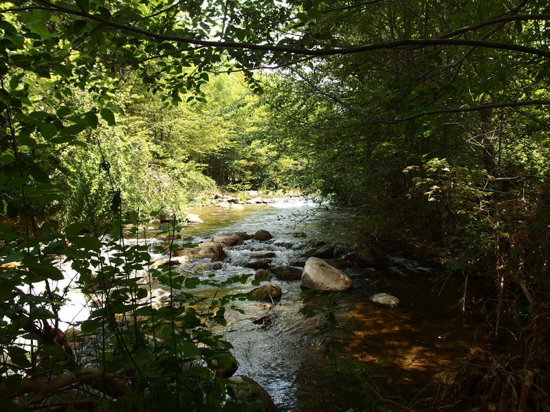
Another rocky crossing of Fossil Creek
Scenic pool begging to be waded across
Beyond Hardscrabble Creek the bank steepened again, this time offering a crumbling ledge around a swampy pool. There wasn't a good option to cross dry so I tried my luck climbing up the ledge, awkwardly swinging my trekking poles out of the way, and made it about halfway up before a whole section gave out underneath me. Sheer luck and a painful, twisting leap kept me from dropping twenty feet. Not sure if I would have been too beat up from the fall, though my gear would have gotten a good dousing in the shallow pool. Taking the hint I backtracked to a deep pool of water and waded across, boots around my neck, and then hopped from rock to rock until I found a good sitting spot to wait for my feet to dry.
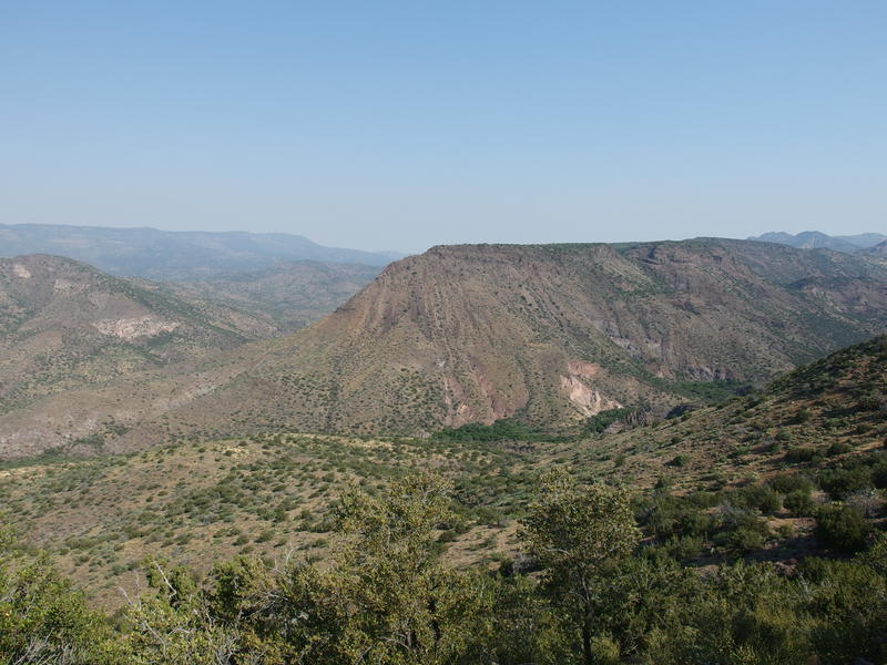
One steep climb up Ike's Backbone
Another easy, appealing crossing through a sandy pool
So went the next two hours. I had to cross three more times, twice of them barefoot with a forced break to dry on the other side. I fell once while balancing on a downed tree, crashing backwards into a pile of branches, badly gouging my knee in the process. Even worse was when I dropped my camera into a deep pool. It's not waterproof. Luckily I had my cell phone on me, using it as a backup GPS device, so I quickly powered down the tracking apps in order to get the battery to last long enough to take pictures for the rest of this hike.
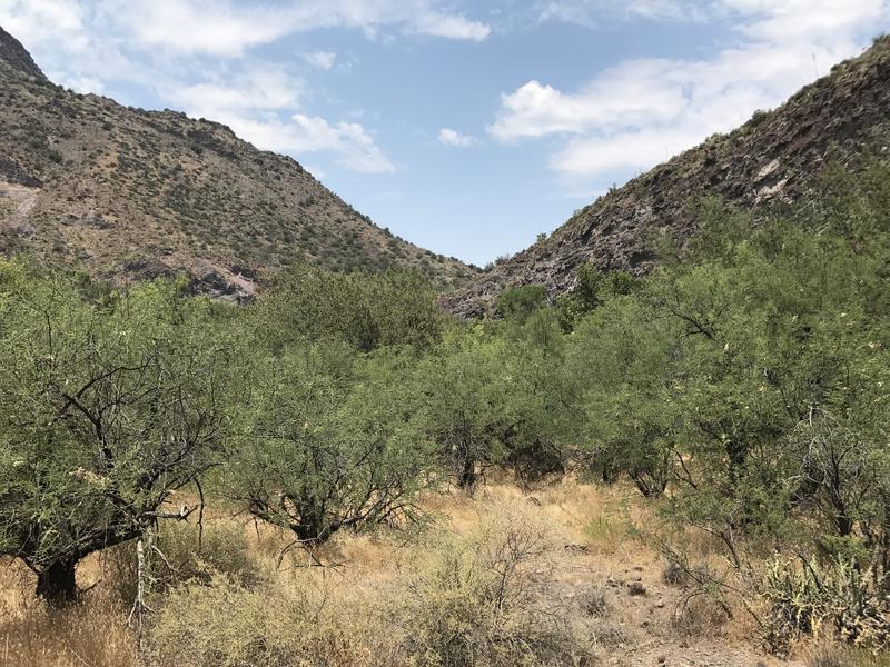
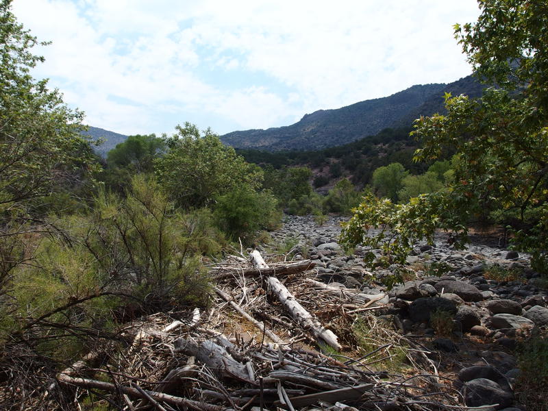
Hot, dry shortcut through thorny things
Five hours to hike three miles. When I reached the final crossing I was hot, beat up, sore, and sick of Fossil Creek. Green vegetation and rushing water was nice to see in the desert as long as it was trying to constantly impede your progress. The whole time I only saw two cairns during one of the 'shortcuts' across a crook. Otherwise there was no path, no guide to the madness, just thorny trees and foxtails and steep banks that forced repetitive crossings.
My ambitious dayhike option was to reach the last crossing by noon, rest here for a few hours, and then hike out. That wasn't going to happen. Resigned to spend the night down here I hunted for a campsite, found none, and simply strung up my hammock between two non-thorny trees within a dozen yards of the creek. I then set to camp chores, setting out all my gear and prepping the area for an evening campfire, all the while guzzling water in hopes of getting slightly less dehydrated before nightfall.
Waterfall next to the campsite
Not that spending the night down here was a terrible prospect. I had water, shade, and enough time to take a few naps and go for a swim before the sunset. The problem was the heat. I had hoped that it would be cooler down here next to the rushing creek and it wasn't. My thermometer stayed well above a hundred for most of the afternoon and, when I checked it one last time before bed, still held out above ninety. Not the most pleasant temps for sleeping outside, even in a hammock.
There was also that nagging sense that I almost turned this into a dayhike. The total mileage and elevation difference could have fit in a single day. The temperatures were a bit high, sure, but I had made crazy good time down the Verde River Trail. If it wasn't for the slowdown of Fossil Creek I would have had plenty of time in the afternoon to take the climb up and back to the van slow and easy. As I drifted in and out of sleep, sweating and uncomfortable, I kept thinking of a cool, air-conditioned bed waiting at home.
-
Jacob P Emerick
Jul 26, '17
It's amazing how, when next to a year-round source of water out here, you can almost forget that you're in a desert. Then a cactus shows up ten feet up the hillside and you remember. Well, that in the 100+ temperatures. Glad to hear you still read these insane ventures, even if they're not in your backyard. Speaking of, are you still planning on IR this fall?
-
dcclark
Jul 27, '17
Yep, Isle Royale happens next week (for one full week!). And then months of slow blogging about it afterwards...
-
Jacob P Emerick
Aug 3, '17
Can't wait :)
Add to this discussion