Lava River Caves of Flagstaff
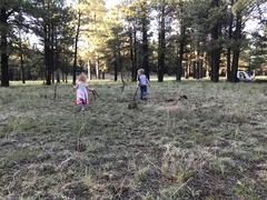
This summer I haven't had much free time to pursue my usual passion of solo hiking and backpacking. Instead, my weekends have been full of Mountain Rescue and parenting. Sure, the kids and I go hiking together, it's just not the same as the epic twenty-plus mile death marches that I prefer. Anyways,…