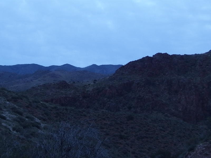
Club Cabin of the Mazatzals
The Mazatzals. For the last year I've wanted to venture into this wilderness, to take a break from the Superstitions and try out some new (and potentially more temperate) hikes, and never got around to it. Now it was time. I had a challenging weekend planned out that would start at Horseshoe Dam and climb up the Davenport trail to Club Cabin and beyond. First, though, I had to use a dam to cross the Verde River.
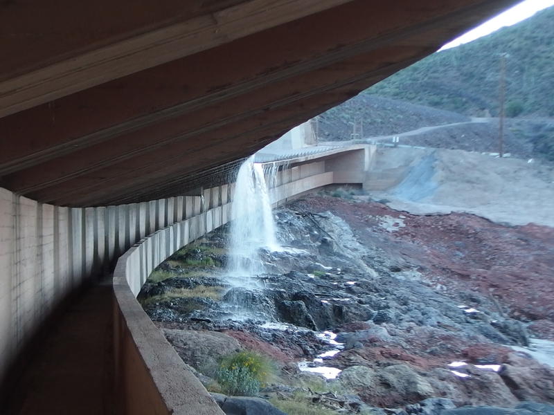
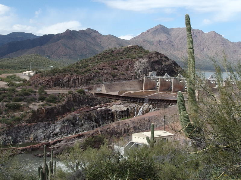
Walkway under the Horseshoe Dam spillway
That's right, the start to this hike literally goes under a spillway. Water cascaded loudly onto hard rock under the cement ledge and trickled back along supports, creating large puddles on the walkway and dripping on my wide-brimmed hat. I walked quickly through it. It was pretty cold this morning, somewhere around forty, and I didn't want my gear to get wet. 30-odd pounds sagged weirdly in my backpack and it was not waterproof.
The crossing took minutes and I climbed up the drive on the far side. Far below, near the base of the dam's waterfall, a few fisherman cast hopeful lines in the calming pools. I didn't pay them much mind and pushed up the access road, which actually crosses the top of the spillway (above the walkway!) and was gated off. It seemed odd that driving across the spillway was preferred over fording the small Verde or just putting up a bridge, but maybe they wanted to keep vehicular traffic around the Mazatzals to a minimum, with it being a wilderness and all. I crested the small rise and got a good view over the reservoir behind Horseshoe Dam.
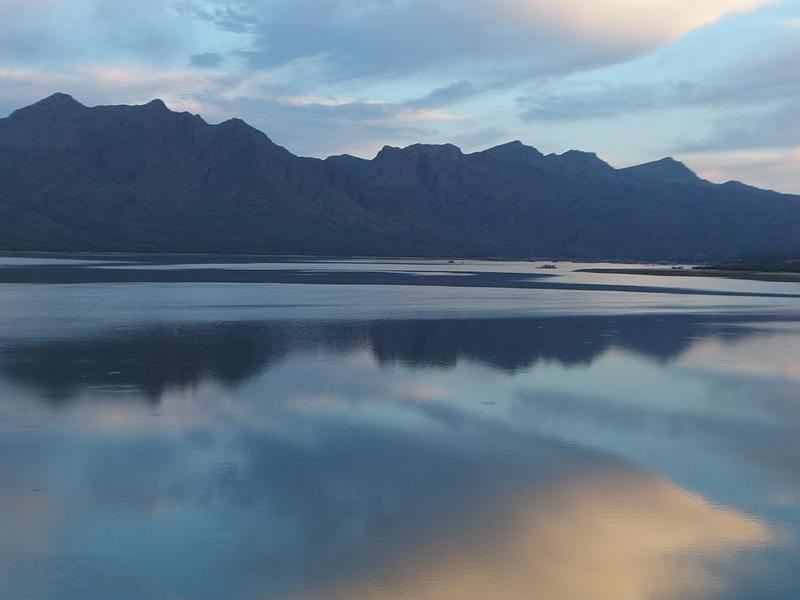
Calm waters in the Horseshoe reservoir
So, where was I again? The Mazatzal Wilderness is over 250,000 acres that, for the most part, follows a mountain ridge that often tops 7000' and stretches from Payson to Bartlett Basin. The ridge splits the whole area down the middle. East of the ridge starts fairly high up, around 4000', with forest roads connecting the trailheads to AZ-87. The west side is a different beast, the lowlands around Verde River close to 2000', a few long and winding roads reaching along certain sections in a disjointed manner.
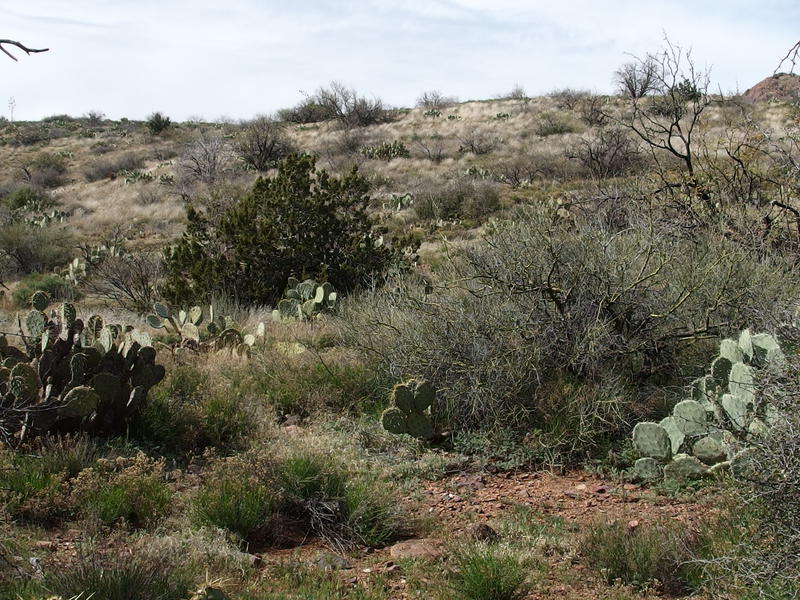
Trails in the Mazatzals respect this split closely. There is the main trail that follows the ridgeline, the Mazatzal Divide Trail, which happens to be part of the Arizona Trail. I've heard that this section sees regular maintenance and is easy to follow. On each side of the ridge more trails branch off like crooked arms of a broken centipede, reaching weirdly down the ridge towards trailheads and the wilderness boundaries. The east side has shorter, better defined paths, and sees a good amount of traffic. The west side has longer trails, a few connecting routes, and is notoriously overgrown. So it only makes sense that I started today on the west side, on the Verde River lowlands, and would be traveling a brushy and remote trail.
FR 479 winding around the hill
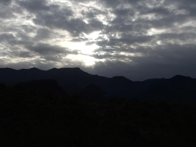
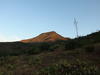
Dim morning light on Horseshoe Dam
First I had to get to the wilderness boundary, though. I had a good three miles of dirt road to cover before I would be at the trailhead and another three miles of old track before I'd be in the Mazatzals themselves. If I had a vehicle that could ford the Verde I could have cut out some serious distance before starting - the Grand Caravan I'm currently driving probably wouldn't even make it beyond the sandy banks. I tucked into the easy walking and soon forgot the cool temps of the morning.
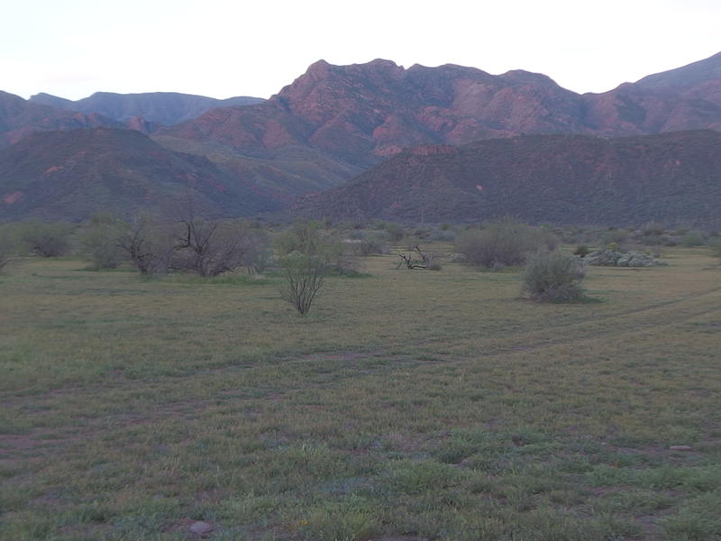
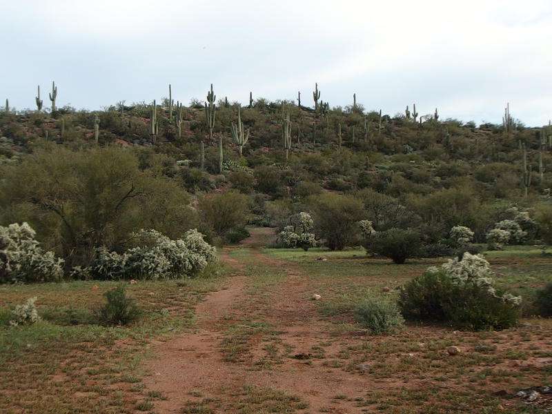
Grassy fields and brightening hills near Johnson Ranch
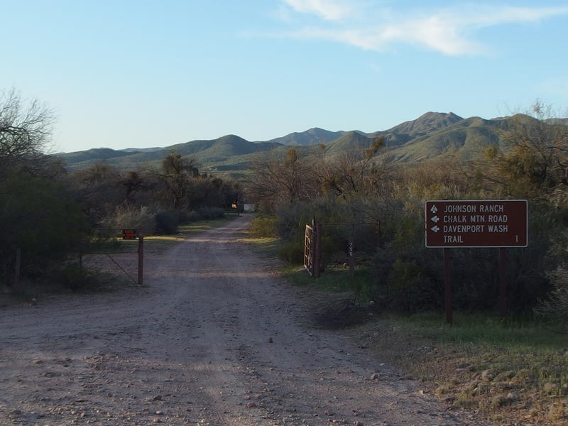
Gate to Johnson Ranch
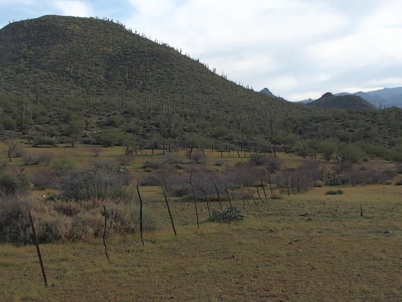
Along the way I passed the Johnson Ranch and sounds of roosters, tractors, and cattle. Or maybe it was the AK Ranch - the signs refused to agree on the name of this little farm. Either way it was an appreciated visual break from the brushy Sonoran desert. And it was an answer to that drive across the dam's spillway. If there was no bridge around here it made sense that these ranchers would have to get into town somehow, and they would definitely have keys to that gate.
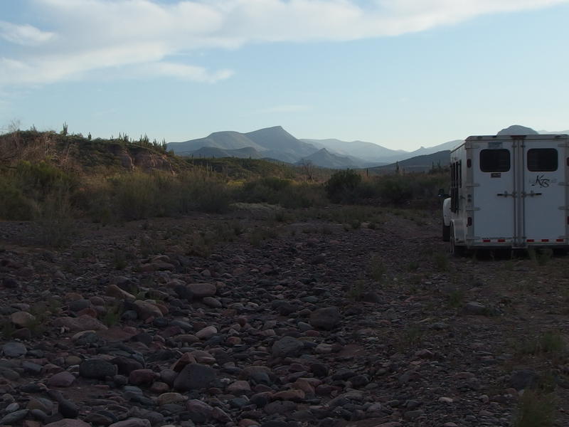
Horse trailer parked in Davenport Wash
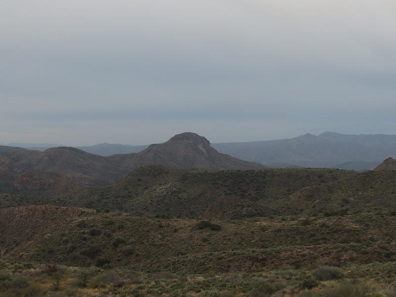
Forty minutes after crossing the Verde and I was at the trailhead. Or at least by a horse trailer camped near the trailhead. Making darn good time. I stopped to catch my breath and get a good look at the land ahead of me. The flat-topped mountain far off in the distance was probably Table Mountain, which I'd be just barely passing today. To the right, above the trailer, was Davenport Peak, which was kind of the halfway point to Club Cabin. They both seemed incredibly distant. I took a deep swig of water, pulled out a Clif bar to munch on, and followed horse tracks out of the wash and on to the trail.
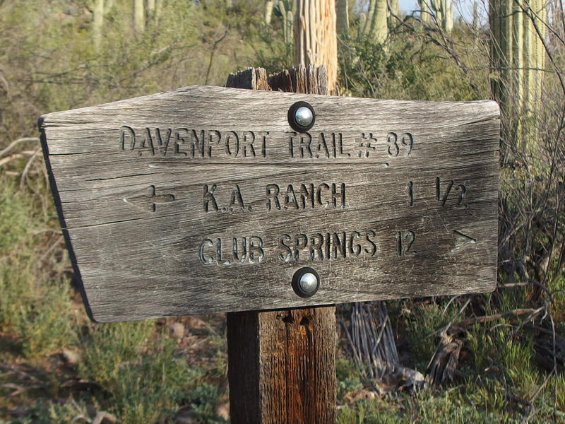
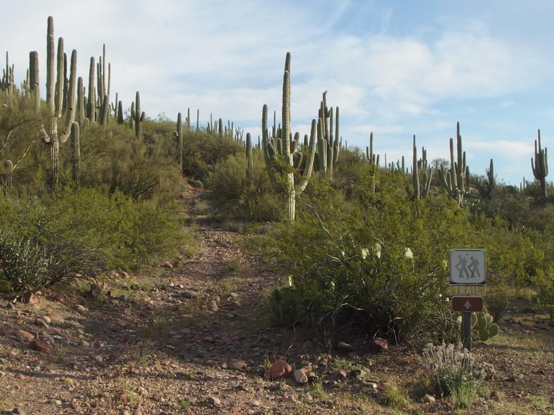
12 miles to Club Spring
Seeing the first trail sign was a bit of a relief. I was fairly certain I was in the right area, and that the riders from the horse trailer were probably on the same route as I, but some validation doesn't hurt. Twelve miles to Club Cabin, my first dependable water source of the day, and it wasn't even eight in the morning yet. I was carrying four liters today and felt okay about covering that distance safely.
The path led away from Davenport Wash and through some low brush. It was wide, definitely an old two-track, and rocky as all heck. My ankle rolled multiple times and I was grateful for my old high-topped boots, even if they are wearing through to nothing and the support is not quite what it used to be. It'd be very easy to get a sprain with trail runners and a full pack here. I climbed up a low grade and was soon on a flat plain, heading towards the ridge.
An old, rocky track leading up
Flat stretch of land near Davenport before the ridge
Even though this trail is called Davenport it doesn't spend much time in the wash itself. Instead it follows a northern ridge, swings up a few saddles, then follows the inside of the wide valley until the Deadman Trail junction. Then it quickly crosses Davenport Wash and leaves it to putter out in some hills. Which is too bad - some sections of the wash seem to have dependable water pools. Instead of a shaded wash and those pools I'd be walking on an exposed hillside all day.
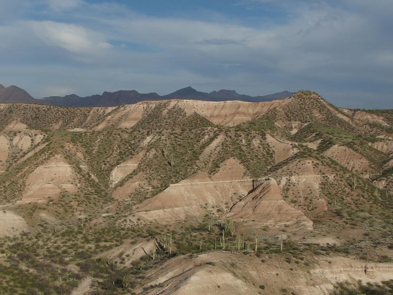
Chalky canyon walls to the north
I crossed the flat plain, climbed up a ridge, and was perched on a narrow knife that divided Davenport Wash with an unnamed northern one. The view into the northern wash was ridiculous. White and pink walls were cut down a hundred feet or more into a wide, dry valley, with sporadic saguaro dotting the floor. This was a nice distraction from the still-climbing trail. I kept glancing to the north at the changing walls as I slowly gained more elevation on the easy path.
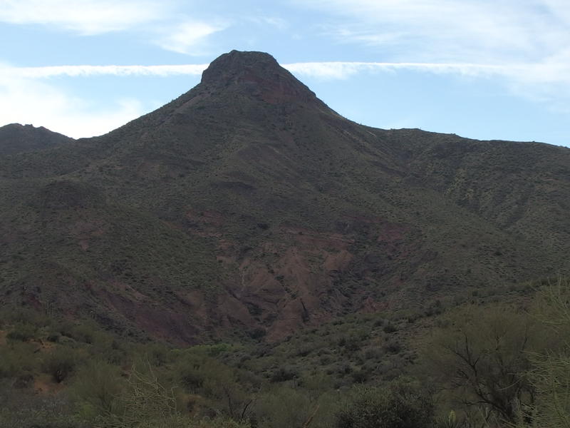
Long view between Davenport Peak and Saddle Mountain
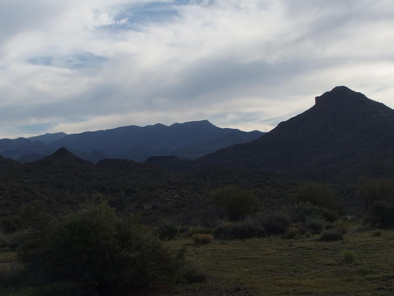
Davenport Peak began to make a more overbearing presence on the horizon. It's a sudden rise that sits on the other side of Davenport Wash, making it seem all the more impressive. Behind the peak was… Something. It was part of the Mazatzal ridge, maybe Sheep Mountain or Mount Peeley, I couldn't quite tell. A few more trips to this wilderness and I should start to recognize the distant rises.
The easy path continued for a short distance further, lulling me into a quick and complacent pace, when it twisted and got all rocky again. At least it was still easy to make out. It was still wide enough for a truck, beaten down, had a cairn every ten or fifty yards, and there were those horse tracks to boot. Maybe I wouldn't spend much time route finding today, something I had buffered my time for. I passed the true wilderness boundary with an optimistic step, a mere two hours after leaving the van at the dam.
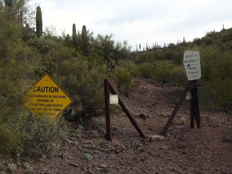
Finally, the real trailhead and entry to Mazatzals
Mazatzal Ridge beyond Davenport Peak
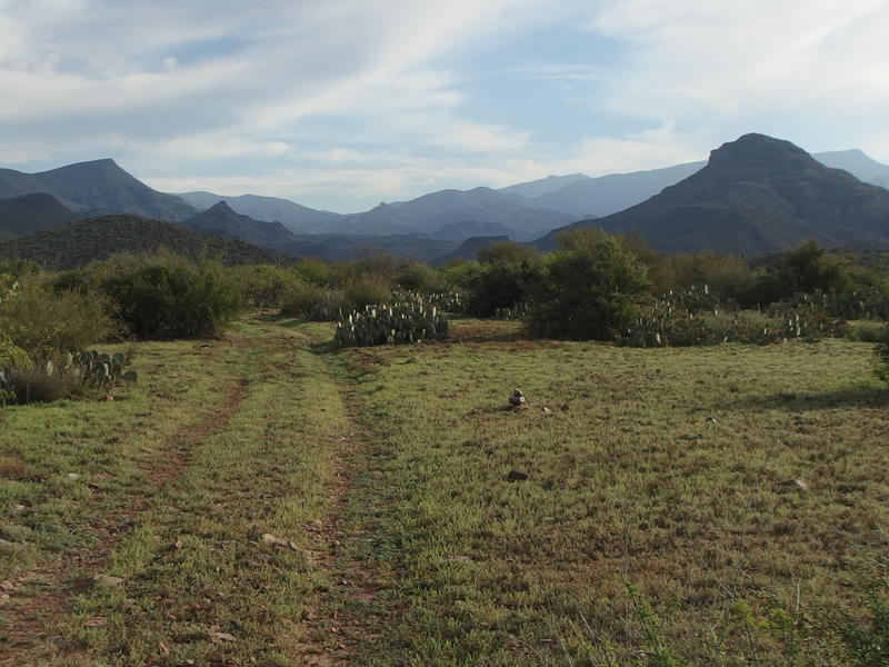
An old corral on the flat green
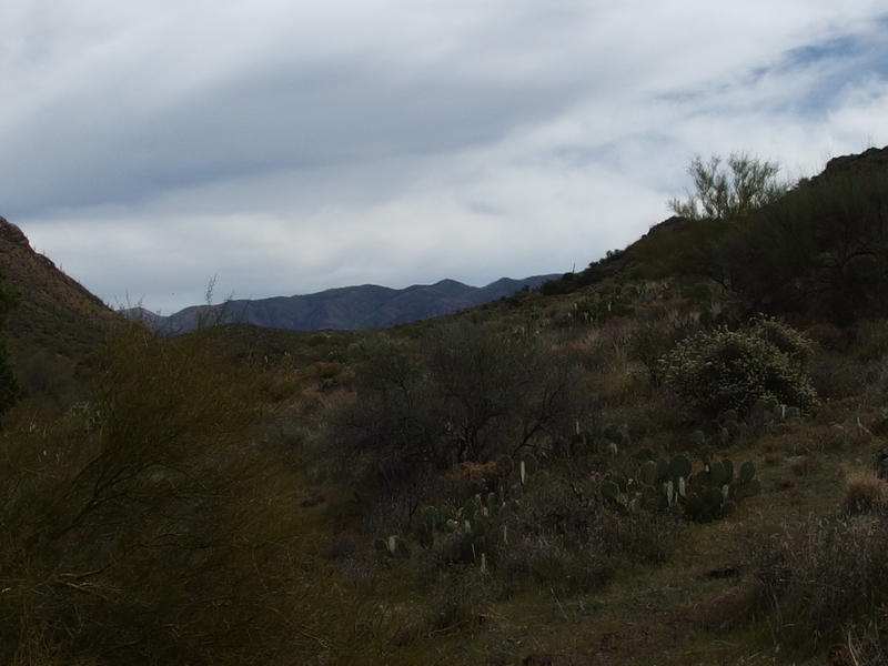
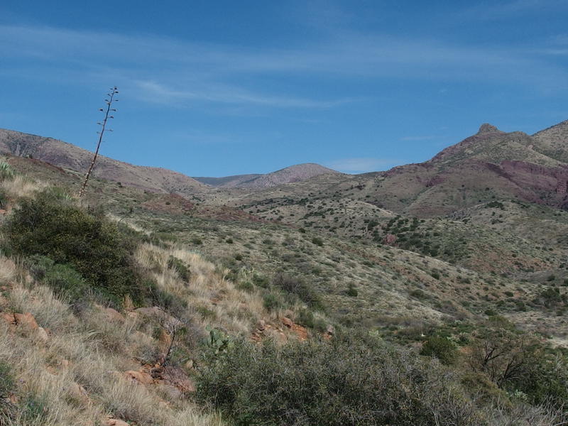
Trail went up then down, crossed a few dry washes, and then drifted away into nothing near an old corral. I took some time to admire the view east, looking at the ridge on the horizon. From here it didn't look that high up, even though it had to be a good 3000' above Davenport Peak. And at least 10 miles distant, probably more. How reasonable would it be to try to get all the way up on the ridge from a western trailhead in a single day? It's at least a 5000' climb, comparable to the elevation difference of the Grand Canyon, and it wouldn't be anywhere as steep.
It took some hunting around on the far side of the corral but eventually I found the trail again. The tricky thing followed the fence around a corner before cutting back east. And it wasn't a nice, wide old road any more. That ended back at the corral. Now it was a narrow route, enough to force the horses ahead of me into a single file, and it twisted and curved like a footpath instead of making the smooth curves and straight lines roads do.
I eyed it more carefully, thankful of the horse tracks to guide me when I couldn't figure out which way to turn, and cursed more than once when a cactus needle or sharp rock found its way through a worn part of my boot. Darn things are so old that the leather is just cracking and peeling away in large swaths now. I really need new boots… Yet change is scary and these Vasques have a lot of good memories. I climbed up the slope, rounding a hill and ascending a saddle, and then stopped for a quick break. Plenty of miles behind me already, more than halfway to Club Cabin, and I had finally passed Davenport Peak. A break was deserved.
Low washes cutting down in the way
The lowlands ahead were not welcoming. Nor was the drop appreciated. This trail is not all uphill, frequently swooping down through washes and dips as it heads east and bumping back up to increase its accumulative elevation. I tried to guess where the trail went through here. Sure, I had a GPS route loaded up, one that followed the official USGS trail, and it was not correct. The footpath that I was on, the only defined path I could make out, frequently broke away from my device's recommendation. For example, both my topo map and GPS claimed that I should head directly down the slope here and into the wash, cross it, then go straight up the ridge opposite. The only path at my feet, which the horses had also followed, circled to the left and avoided the direct drop. I chose the circular path.
A tall, lonely Davenport Peak
For a while things worked out. The path did circle to the left, staying relatively high on the hillside, and slowly dropped down to an upper point of the wash. This was good, as I lost less elevation and would have to climb back up less. The bad was where it dropped. Opposite the path into the wash was a wall of rock with no way up. And the horse tracks were swallowed up in the too-soft sand underfoot. I tracked back and forth, looking for a path or cairn, and found nothing.
Losing the trail wasn't terrible. I knew where I was going, and I had a route loaded up that frequently met up with the path, so all I had to do was meander back to that. I could head down the wash to the USGS route and lose elevation and distance or try to cut a line east, which would probably meet back with the path. So I headed up the wash and looked for a way out. Unfortunately, the wash had other ideas.
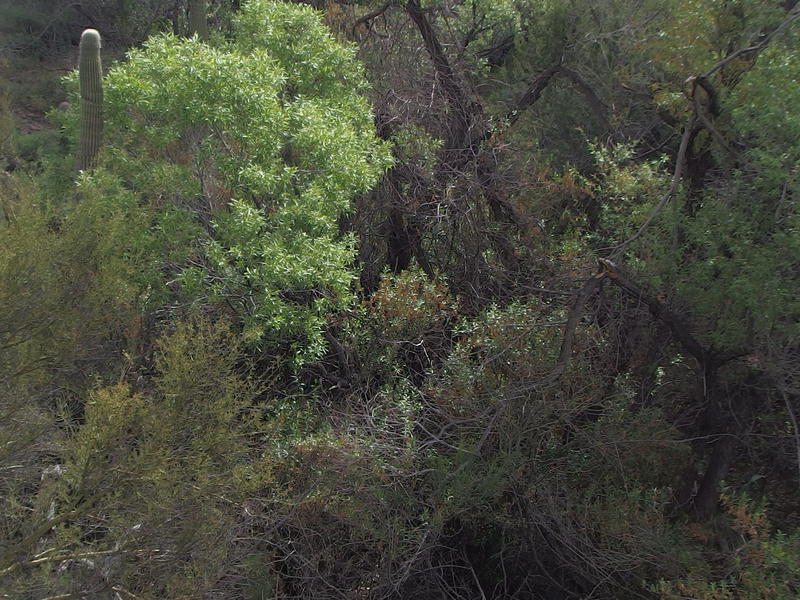
Thick, unwelcoming brush in the wash
Forced up a crumbling knife edge between two tributaries, I scrambled around prickly cactus and carefully swung around grasping brush, all the while thinking back to that darn path. If only I had searched harder for it I wouldn't be getting all cut up now. Even when things evened out it wasn't great, because I was stuck between two deep washes and had to dive back down and back up to continue on. Backtracking began to take up time, as did scouting and testing ledges and easing around thorny brush. Eventually I broke free of the maze of deep-cut washes and ascended up a gradual slope towards the next saddle, where I just knew the actual trail had to be. After more than a mile of off-trail hacking with a full pack I finally found a path again.
Almost to the saddle and, hopefully, the trail
Any optimism I had about my hike today was squeezed out of me as I lumbered up to the saddle. My first two liters of water were empty and I traded out for a new bladder. I had been making good time until the bushwhacking had cost me well over an hour. And it was getting hot. Even with a second coat of sunscreen I felt my neck crisping under the Arizona sun. I made it to the next saddle, found the nearest rock to plop down on, and looked out over the next section of trail.
Brilliant skies over Table Mountain
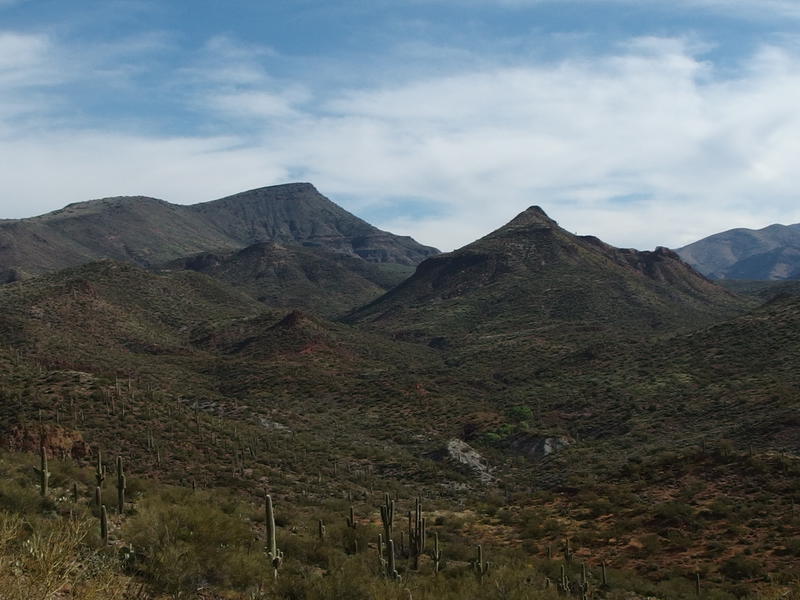
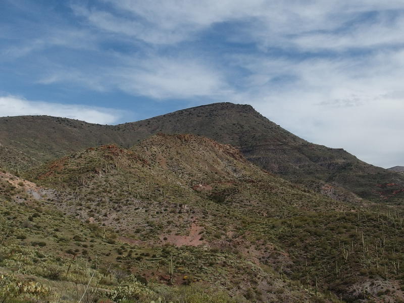
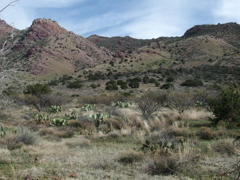
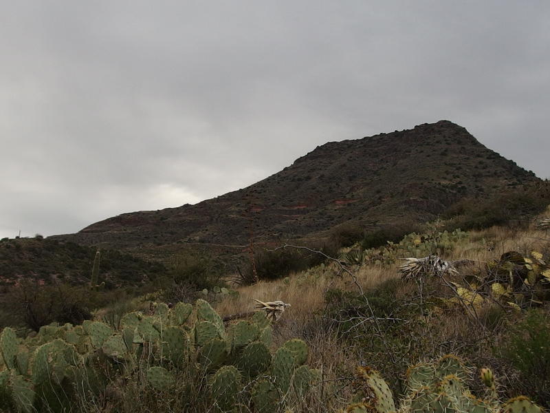
Everything focused around Table Mountain now. That tall mound of rock and cactus rose up to 5400' and towered above both the trail and Davenport Wash. I sat near the western end of it and would have to walk the full length, which is only a few miles. What the trail does here, though, is heavily influenced by the mountain.
Numerous springs and gorges flow down the south face and across my route. Some of this springs could hold water, something I doubted with the dry conditions out here. Shoot, I don't think it's rained more than a few inches since Christmas, if that. Anyways, those little cuts could either mean a roller coaster of a trail or lots of twists back and forth. I took a deep swig of lukewarm water and slowly headed down a switchback, careful to avoid the gila monster that was also using the trail today.
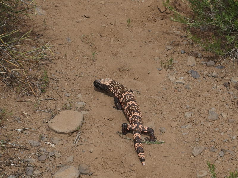
Slow-moving Gila Monster on the path
A long ways up to Table Mountain
Multiple pauses to stop and hunt for the trail kept my forward progress slow. And, of course, how far off the route on my GPS was. I tried not to look at the time as I hiked. My ambitious plan had me reaching Club Cabin around noon, one at the latest, and both of those times ticked past. There would have to be some re-planning of my trip soon.
There was no water, something I had feared, though several of the gorges running down from Table Mountain had green grass and trees along their length. I even saw some Arizona Sycamores growing up from the grass. There was probably water a short distance underground, and if there were pipes and basins out here there might be some way to tap into that, but there were none that I knew of. I didn't waste much time walking up any of them looking and simply pushed on, hedging all of my water bets on Club Cabin.
Rugged hill near the Sheep Creek junction
Hot rolling hills to the east
Eventually I made it to the trail junction with Sheep Creek near the bottom of some elusive switchbacks that I got to hunt around for in fields of cholla. That was my planned route, to head down the Sheep Creek Trail and camp near Sheep Creek Spring tonight, which was a mere four miles to the south. After the side trek to Club Cabin, that is. I could make up a lot of time if I just turned now. Water, though, that was the issue. Every spring I had passed was dry and I trusted Club more than Sheep Creek to have something. I passed the trail junction and headed up some rolling hills, sticking to the Davenport Wash trail with increasingly heavy feet.
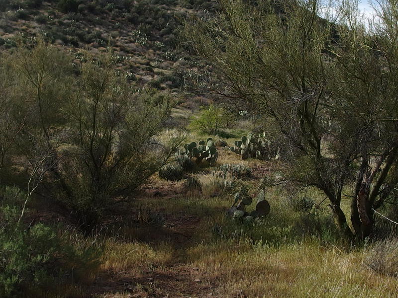
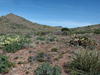
Prickly cacti, brush, and rocky ground
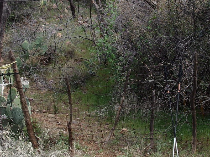
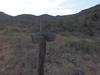
Tight gate blocking the way to Club Cabin
It was 2:30 by the time I reached a wire fence and gate that was tightly closed. Twisted barbed wire and rope secured the gate in such a complete way that I wasn't sure if this area was off-limits or people were just being extra-cautious for livestock. I hoped it was the latter. Those horse tracks, the ones I had followed all the way from the trailhead, continued past the gate. There was a real good chance I was about to meet them up here at the spring.
The walk beyond the gate was long and uncomfortable. I was so drained by now, the hot Arizona sun leaching out my will to continue, and I just knew I was low on water. I didn't want to know how low. There had been no long breaks today, just little things a few minutes long here and there to catch my breath and grab a fresh snack, and my legs were protesting loudly. And, of course, the path beyond the gate was mostly uphill and completely unshaded. At least I finally found the horses and riders in here.
Last slow climb to the springs
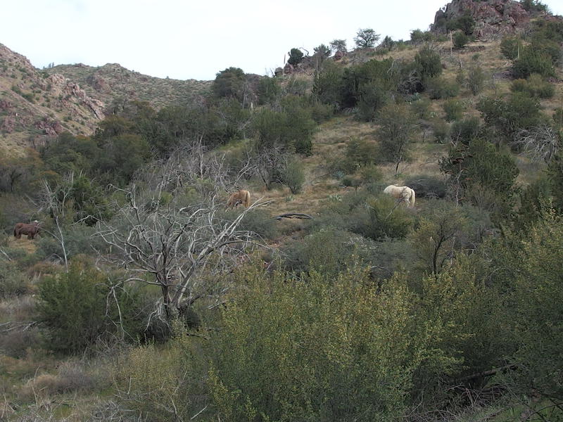
A handful of horses roaming free
A few quick words of welcome and I pushed on to the spring. They were two couples, one older and one younger, and had a large camp set up at the old cabin (which burned down a few years ago). All together there were five horses (one pack) and they had come up yesterday and were taking a rest today. Tomorrow they were going to retrace their path back to the trailhead. As I plopped down my gear at the spring and prepared to do some filtering I debated doing the same thing.
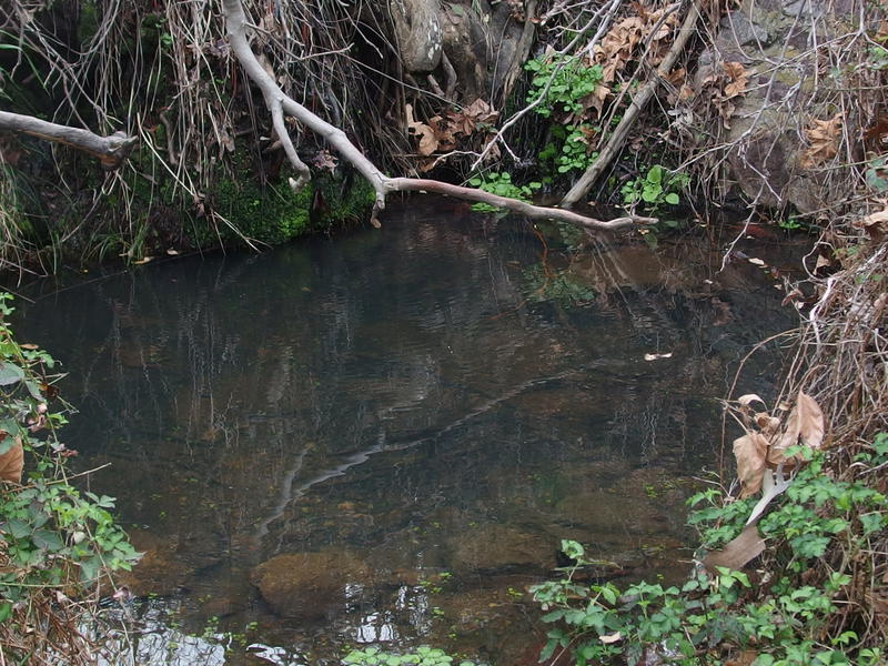
The small, welcome pool at Club Springs
Before I pulled out my usual water filter, the MSR Miniworks, I tried a new piece of gear first - the Sawyer Mini. It came with a collapsible bottle that I was supposed to fill up and then squeeze to push clean water out. The collapsible bottle was terrible and I couldn't get more than a few mouthfuls of water in at a time. After struggling with that for a while I gave in and used the Miniworks and quickly pumped around four liters, refilling all of my containers and drinking plenty on the side.
After the water was taken care of I sat on an ant-covered log and debated my options. I really don't like in-and-out hikes and will do just about anything to avoid them. These trails, though, were really hard to make out and follow. Without the horse tracks I'm not sure I would have found my way to Club Cabin. So any sort of loop, where I'd try to take an alternate trail back to the dam, would be all the more difficult.
I made up my mind to backtrack and headed back, confirming my decision with the riders on the way. One of them was deeply familiar with this land and told me that Davenport Wash was probably the best trail out here. If that had been tough to follow I didn't have a chance on Sears or Copper Camp, not without better routes on my GPS. I thanked him and headed down the hill, walked past the gate (making sure to close it tightly for the horses), crossed the gross algea-filled pools on Davenport Wash, and picked a spot by the Sheep Creek Trail junction to set up camp.
Returning to Table Mountain
Technically I was near Rock Spring, and I found a circular water trough back there, but there was no water. Just trees and grass that made for several good camping spots. I picked a flat stretch under a dying tree and pitched my tarp, the next piece of new gear I was trying out. For years and years I've hauled along a tent that is over four pounds and bulky - I wanted to give a lighter, sub-pound tarp a try.
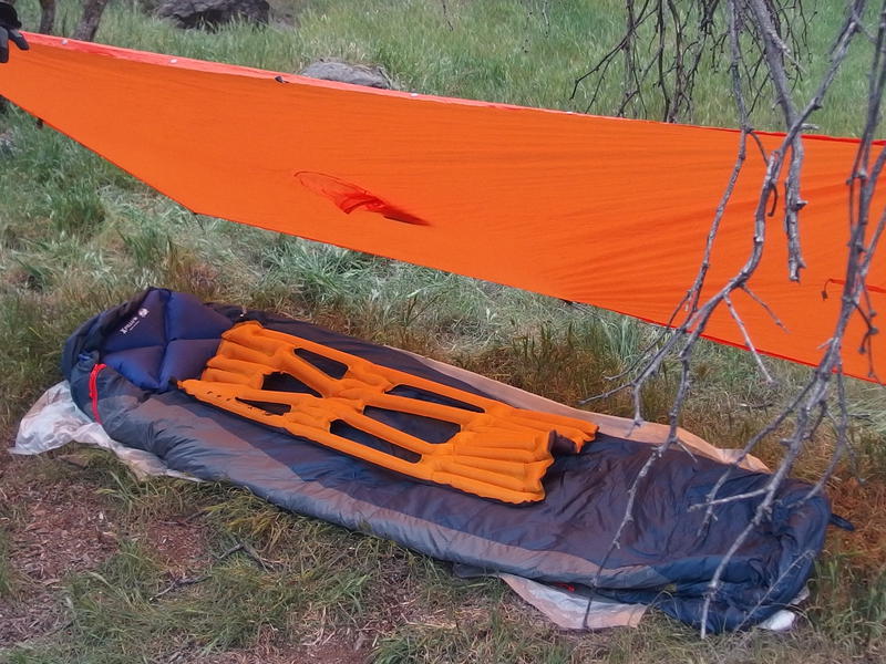
Tonight's shelter - a tarp poncho and groundsheet
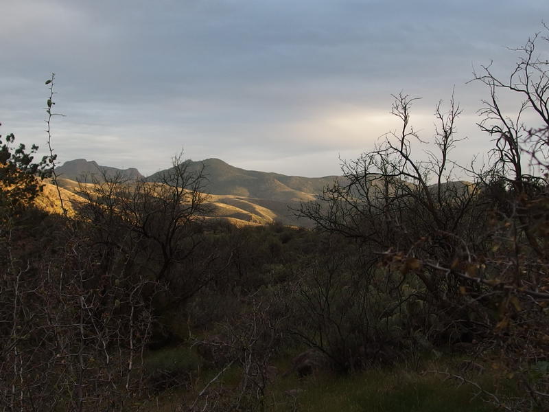
Setting sun lighting up the distant hills around Copper Camp
After camp was set up there were a few camp chores to do, dinner to make and gear to organize, and then I settled in for the night a few minutes after sunset. The afternoon had passed by fast. The short stop at Club Cabin had cost me hours, walking the trail to/from, talking with the riders, and filtering water. Which made me all the more confident on my decision to backtrack. I pulled out a book and attempted to read myself to sleep.
So, while the tarp is a very light piece of gear and it provided enough protection from the few sprinkles of the night, it didn't give me anything from the mosquitoes. Which, turns out that there were a lot of them in the Mazatzals. I didn't expect that with the dry conditions out here. I got eaten alive. For much of the night I tried to curl up in the mummy bag to minimize exposed skin and was a sweaty mess in the 20 degree bag. The bugs finally called it a night around 2am and I got a few fitful hours of sleep before it was time to get up.
A gloomy blue light to start the day
Packing up the camp didn't take much time and soon I was back on the trail, sore from yesterday and tired from the poor night of sleep. Which I really don't want to blame on the tarp, because I love the idea of hauling along a 6.6 oz shelter instead of a 4 lb, 13 oz tent, yet it was hard not to. A bug net, even just for my head, would have been amazing. Maybe a net and a tarp would work and still keep my load lighter than that tent. Maybe.
Long view of the back of Davenport Peak
I made it up those tricky switchbacks above Sheep Creek and got my first hazy view of Davenport Peak. It still makes a fine halfway point, and now I knew that I was on the more difficult half. Once I was level with that peak then I'd have smooth sailing back to the van. Water was going to be an issue. Between the hike, drinking at the spring, and dinner I had consumed around six liters of water yesterday and I was already crazy thirsty after the hot, sweaty night. Only three liters sat in my pack. I could make it on three, cover the 13-ish downhill miles, though it'd be great if I could find a spring. So I decided to try a little harder to find water today.
There are two spots to check beyond Rock Spring - an unnamed wash and Dog Spring. I had heard that Dog Spring was bone dry. The unnamed wash, though, with a rock wall near the trail, was supposed to have a something. That knowledgeable rider from yesterday had told me that it was one of the more reliable sources out here. So when I reached the rock wall I ventured off trail to check it out, finding a trough and a few plastic pipes. While the trough was dry there was a tiny pool of water from the trickling water, enough for a mouthful or two. Hoping that the plastic pipes would mean water further uphill I headed up the wall and followed the wash away from the trail.
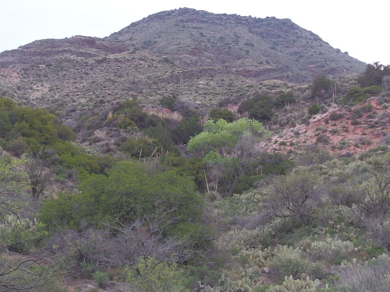
Promising growth along the dry spring
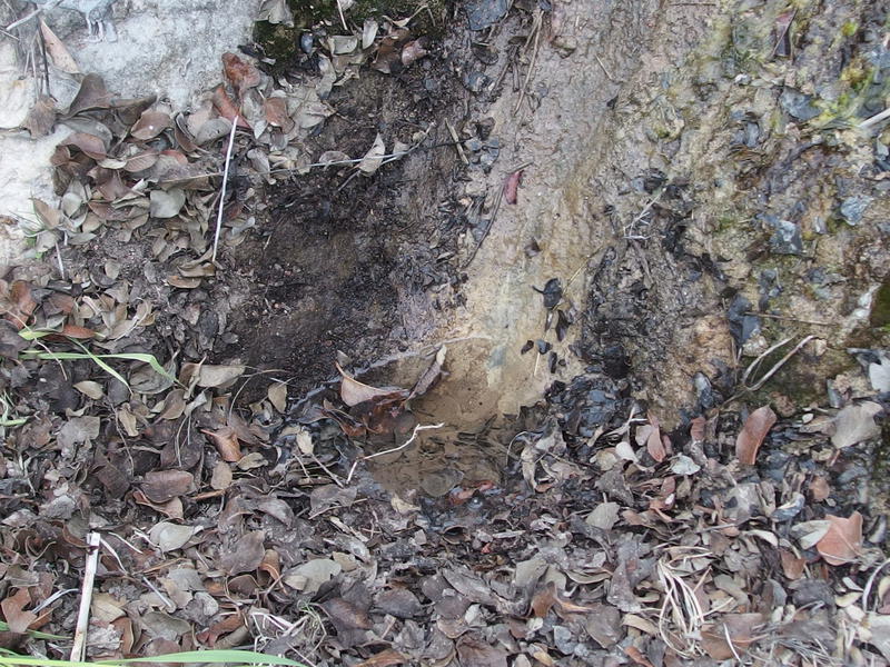
Tiny puddle of dripping water
The going was tough, dodging around dozens of prickly pear cactus and stumbling over rocks, and there was nothing to find. Just dry sand and rocks. I stopped under a large sycamore and sat heavily on the ground. Even though I didn't want to waste the water, I cooked up a quick breakfast of oatmeal and coffee along the barren wash. It was quiet back here, the hiss of my stove and click of metal utensils the only noise in the desert outside of the planes.
Oh yeah, speaking of the planes - there is an air traffic corridor that goes right over the Mazatzals. It's not as bad as, say, the Superstitions. This corridor is mostly used by smaller planes and I heard maybe one every thirty minutes or so, compared to the huge commercial planes flying to/from Phoenix Sky Harbor over the Superstitions. In Michigan I'd hear maybe two, three planes in an entire day. Down here in Arizona it makes for a common distraction while hiking.
The morning sun trying to break through the clouds

A long way to Davenport Peak
Breakfast finished, I got up and started back down the trail. The sun broke through the low clouds around eight, a welcome change from the cloudy skies, and I cruised downhill with a quick pace. Some parts of the trail was a bit unfamiliar, either because I was traveling the opposite way or because I lost the path on the way up, something I didn't do as often now with a closer lookout for the horse tracks. I did get lost once, at the same tricky washes from last time, though not for as long. All in all I made great time heading down and was soon stopping for a quick lunch at the last saddle, the one right across from Davenport Peak.
Easy part of the trail between Palo Verde
There was only thirteen miles to cover today, compared to the seventeen from yesterday, and I already had the most difficult five behind me. My hope was to return back to the dam by noon. Three liters of water should last me a morning. Well, I was already down one. I switched out bladders and headed down the saddle to the corral and two-track beyond.
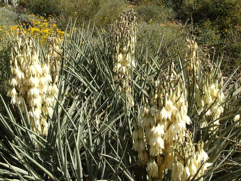
Springtime blooms
After that lunch stop the temps heated up fast. I'm not sure if it was a side effect of heading downhill or just the increasing sunlight - either way, I was soon pouring sweat and filling lightheaded. Not dangerously so, just more uncomfortable than a downhill hike should be. I kept drinking water to be safe and sucked down the last drops as I hit the trailhead.
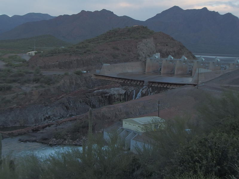
Afternoon sun over Horseshoe Dam
Three dry miles of dirt road later and I hobbled under the spillway at Horseshoe Dam and returned to my car. I was beat. There were several water bottles waiting for me that I quickly sucked down before piling in and heading out. Route finding is hard, especially with a backpack on tow. I didn't quite make the loop I wanted, the ambitious loop that would have taken me up Sheep Creek and back down Copper Camp, but even this in-and-out had been a respectable thirty miles. I drove away from the Mazatzals, thinking of the elevation changes and dry areas, and was already playing around with different routes to try on the inevitable return trips.
-
Jacob Emerick
Apr 6, '16
A bug net, eh? I honestly thought you had one. Just for the head then?For that one epic waterfall summer in 2008 I grew thick enough skin to ignore the bugs. Mosquito bites didn't itch and I could just ignore black flies (for those it's mostly their circling that annoys... they take forever to decide to bite imo). After that, when I moved down to Wisconsin, I would just avoid the late spring/early summer of the UP. Which makes for terrible waterfalling. Jealous of your bug net, you'll have to let me know how it goes.
-
dcclark
Apr 7, '16
Yeah, I've avoided bug nets just because I didn't want to bother with them. But with some potentially bug-filled trips coming up, I figured they're worth their (tiny) weight. Ticks, on the other hand...
-
Jacob Emerick
Apr 18, '16
RE ticks... I've started using base layers lately. Still have mixed feelings, especially because I'm too tall for anything to fit me nicely, but they are nice to sleep in (if they're clean) and helps wick sweat away from skin. Easily one of the most useful pieces of gear I brought on Isle Royale. Anyways, I can imagine them doing a good job at keeping ticks off of skin. Just a thought - I've never been too squeamish about pulling ticks off at the end of the day.
Add to this discussion-
Jacob Emerick
Apr 6, '16
No, no worries of them crawling in. Hoping that I snore loud enough to keep most of the creepy crawlies disinterested in my warmth. I also experimented with a bug net on my last outing that should provide some semblance of protection as well.
Add to this discussion-
Jacob P Emerick
Feb 2, '17
Thank you Lynda! I've heard great things about the ranch from some thru-hikers along the divide. Will definitely take you up on it some day, would love to see the such an integral part of the Mazatzals.
Add to this discussion