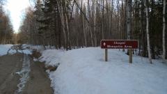
A Brief Visit to Cliff Ridge

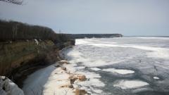
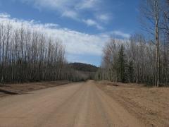
My little Saturn bounced and shuttered as I pressed down Cliff Drive. Gritting my teeth I pushed faster, steadily approaching the breckneck speed of 45 mph, doing my best to avoid the bumps and pot holes on the rough road. I was behind schedule after a few detours near Copper City and didn't know if…