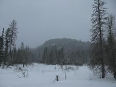
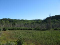
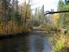
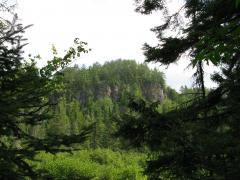
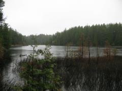
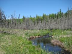
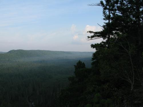
The Numbered Lakes above Red Road

Nestled north of Red Road and between Mulligan Plains and the Clark Creek Valley, the numbered lakes are perched almost 300' above within thick and wild highlands. Lake 8, 2, and 3 (going from west to east) are each around 10 acres in size with shorelines ranging from deep rocky outcroppings to shallow wetlands. There is no road or easy path to any of these lakes, even though there is an old open cabin on Lake 8. I had visited Lake 8 several times before, but today I wanted to see all three of the numbered lakes on a single grand adventure.

Looking south on Lake 8

Looking south on Lake 8

Ever foolhardy, I made the mistake of spending the night on the north side of Lake 8. The Mulligan approach involves climbing the 300' up an overgrown four-wheeler trail for a mile around fallen trees and deep pools then bushwhacking a few hundred yards through a small marsh. By the time I reached the lake both my gear and I were soaked through thanks to the all-day drizzle. I rolled out of the tent early in the morning clad in already wet clothes shivering in the ...

read more »

Hills Lakes

I woke up early with the sunrise, still sore from yesterday's hiking. Dressing quickly, I rolled out of the tent and started a small fire. The coffee didn't take long to make and I was soon standing on the shore of the northern Rocking Chair Lake, watching the sunrise over the tall eastern hills and enjoying the warm aroma and taste of the brew.

Without much forethought I had spent the night halfway up Mulligan Plains on a small DNR campsite. My plan of sleeping on the southern terminus and hiking to these lakes in the morning had backfired thanks to recent logging activity. I was still debating on heading south to follow the southeastern cliffs of Mulligan, but the tall hills and trees to the east beckoned me. After gulping the rest of my coffee I started east to new territory with false bravado - I was heading straight into some of the thickest woods on this side of Superior.

Sunrise over the Northern Rocking Chair Lake

Sunrise over the Northern Rocking Chair Lake

The southern Rocking Chair Lake drains north to the one I was camped on, and so my first ...

read more »

Weekend on Mulligan Part C - Northern Cliffs

After a full day of hiking yesterday at Deer Lake and Silver Lake Basin I slept in past the sunrise. When I finally woke up and made some breakfast I made the difficult decision to head home early. The original plan was to stay at Mulligan Plains for another full day, going on multiple hikes around the area, but I was running low on water (and energy) and was ready to be done with the high temperatures and bug swarms.

Foggy morning view of Mulligan Plains

Foggy morning view of Mulligan Plains

However, I did have enough water left for one more hike. I smothered my campfire and headed north along the cliff edge. My campsite was just off of the trail to Bob Lake on the tall cliffs north of Mulligan Falls, so I was just turned north and headed towards Stager Lake. This route offered some excellent views southwards of the plains and a glimpse or two back towards my campsite and the gorge of Mulligan Falls. Once I reached a prominent outcropping on the route I decided to cut west into the woods towards Stager Lake.

Making my way around a few swampy ...

read more »

Weekend on Mulligan Part B - Silver Lake Basin

The air felt uncomfortably hot as I walked down the trail, away from my campsite, in the early afternoon. My first Mulligan Plains hike seemed pretty easy, a simple trek around the Silver Lake Basin. There would be little bushwhacking with the lake levels still below normal from the burst of 2003. I carried a single water bottle with me, thinking that the hike would be easy and I'd be back at camp well before dark.

Uninviting upper Dead River landscape

Uninviting upper Dead River landscape

After crossing Mulligan Creek I continued south until I hit some recent logging activity. I headed right, westwards up the hill, wandering around the piles of brush and avoiding the ankle-twisting traps left by the loggers. They only made it a short distance up the hill but I was surprised to see even more logged-out areas at the top. A recently widened two-track from the south gave them access to the entire area at the top. Disappointed by the lack of untouched woods, I headed down the sandy road.

The hill I was on is one of the tallest points on the west side of ...

read more »

Weekend on Mulligan Part A - Deer Lake

With a three-day weekend over Memorial Day I wanted to try a different hiking experience. Camping is a recent addition to my Upper Peninsula adventuring, but I still frequently use my car up north to drive from one hike to the next (and to grab the occasional fast food meal). Though I don't have the right gear for true backpacking I decided to try something close: set up a site on day one and walk everywhere, avoiding the car (and civilization) during the entire trip. I arrived at my destination, Mulligan Plains, in the twilight to set up for the first night.

Morning sunlight on Mulligan Plains

Morning sunlight on Mulligan Plains

I didn't have time to change out of my clothes from work (shorts) and was attacked by mosquitoes the minute I stepped out of the car. A friendly local and his son was unpacking their truck for a weekend at his cabin, located on the other side of Mulligan Creek. We had a good chat about the area; he strongly suggested stopping by a number of lakes north of the creek for some good fishing. By the time he took off on his four ...

read more »

Cliffs of Mulligan Plains

The -15ºF air hit me like a brick wall as I stepped outside of my car at Mulligan Plains. Unaccustomed to the cold Upper Peninsula mornings I quickly covered my nose and mouth with a warm scarf before heading down the plowed two-track. The sun's early rays had only just begun showing over the eastern cliffs and I didn't have time to wait for the valley to warm up; there was a long, hard hike before me.

Last summer marked the first time I visited Mulligan Plains without stopping by Mulligan Falls. I had always known that there were other attractions in the narrow valley but had never made a direct effort to see them until then. The main goal of today's trip was to revisit one of these sights: Rocking Chair Lakes. My route wouldn't be an easy one but did a promise some awesome views of the plains. I planned to start near the bridge over lower Mulligan Creek, follow the top of eastern cliffs to Rocking Chair Lakes before looping back to the car, resulting in a 6 mile hike with plenty of vertical distance change.

The first climb of ...

read more »

Katie and I at Mulligan

It's no secret - I really like Mulligan Plains. This remote section of Marquette County is off the beaten path and contains many hiking adventures, including waterfalls, cliffs, and lakes. So when Katie and I headed up north on a cool fall day before hunting season I made it a point to take her to Mulligan and show her one of my favorite Upper Peninsula destinations.

Even though we slept in at the Ishpeming hotel quite a bit, we managed to make it to the creek before noon. The easiest place to visit at Mulligan are the falls north of Silver Lake Basin, so we took the county roads up along the western edge of the plains and parked at the foot bridge over Mulligan Creek. Faith and I had visited this area a year ago and had taken a convoluted route to the falls that involved crossing the creek over a beaver dam and bushwhacking through some terribly thick pine trees. A four-wheeler had given us this route before, but I didn't want to follow it today.

Katie and I crossed the narrow, shaky bridge over the creek and headed up the narrow ...

read more »

The Last Waterfall Hike

My last hike for the waterfall project was on April 29, 2009. For the last two months I had been on a crazy schedule re-visiting all of the waterfalls I found last summer and collecting accurate coordinates with a new GPS unit as well as finding new falls within my radius to add to my site. Since I was leaving for Wisconsin the very next day, I decided to make this adventure legendary and visit Mulligan Falls.

Mulligan Falls is located northeast of the Silver Lake Basin outside of the remote Mulligan Plains. There are no trails or roads within a mile of the lowermost waterfall, which Faith and I had found last October. I had heard rumors of upper waterfalls, so I set an ambitious route that would take me several miles upstream. The area around Mulligan Creek is cluttered, rocky, and swampy, so I planned on the hike taking several hours.

Bridge over Mulligan Creek

Bridge over Mulligan Creek

I left early in the morning and made it to Ishpeming around 7:30 in the morning. After stopping for gas and some snacks, I headed north ...

read more »

Red Road Cliffs

Most visitors to the Keweenaw Peninsula will remember The Cliffs by their name alone. A sudden up thrust of stark rocky cliffs stretching from Mohawk past Phoenix along US-41 with towering trees and large piles of poor rock is hard to miss, and for those adventurous enough, rewarding to climb. A variety of waterfalls and old mine ruins are located near this area, and an easy climb yields views from several hundred feet of rolling hills to the south. Far away to the southwest near Marquette is a similar treasure, much less known to tourists and adventurers: the Cliffs of Red Road.

I first got interested in Red Road during a hiking adventure in mid-July 2009. I was driving from Clark Creek to Mulligan Plains along the Dead River Basin (north of Ishpeming) when I glanced to the north and saw dark, towering cliffs. It was far too wet that morning for a side trek, so I pushed off this adventure to late August.

Cliffs of Red Road

Cliffs of Red Road

There's not much historical information regarding the highlands north of the Dead ...

read more »

Rocking Chair Lakes

Perched high above Mulligan Plains are the two small Rocking Chair Lakes. A rustic camping site of the Escanaba River State Forest, these lakes offer scenic views and a peaceful escape for the adventurous. Ever since I first visited Mulligan Plains in the October of 2008, I hoped to have the chance to visit the lakes, and I got my chance almost a full year later.

It was a cool, rainy July morning in 2009 when Logan and I headed to Mulligan Plains after a night of camping on the Yellow Dog Plains. While the official route to the lakes involves driving up County Road AKC, I doubted my vehicle could make it more than half a mile on the poorly maintained route. I headed up the unnamed but well-kept county road on the west side of Mulligan Plains and cut over on a convenient driveway near the lakes. As the plains are only two thousand feet wide or so, this route got me close to the start of the trail without damaging my car more than necessary.

Eastern side of Mulligan Plains

Eastern side of Mulligan Plains

I had to double back to find the remains of ...

read more »