Blind 35 Hills - South Side
Sleeping in through the cloudy sunrise, I woke up on a rocky outcropping west of Big Bay. I had spent the previous evening hiking around some of the hills on the north side of Blind 35, finding plenty of western views towards Ives Hill and even a limited shot of the Keweenaw Peninsula to the north. You can read about those adventures on my previous post (Blind 35 Hills - North Side). This morning it was time to head south and west to explore more of the hills.
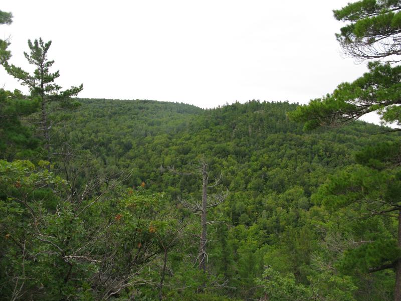
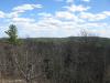
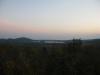
South, across Blind 35, to my morning hike
I packed up my gear and headed down the steep slope, trotting and sliding down the pine-covered slope to Clear Creek. Leaving most of my stuff in my car, I set a brisk pace westwards along the road past muddy holes and huge rocks far too large for my small vehicle. Blind 35 continued to degrade, slowly resembling a well-traveled four-wheeler path more than the beginnings of state trunkline. After a bit of walking I came to the bridge over Snake Creek, a small two-lane concrete piece overgrown by the surrounding vegetation.
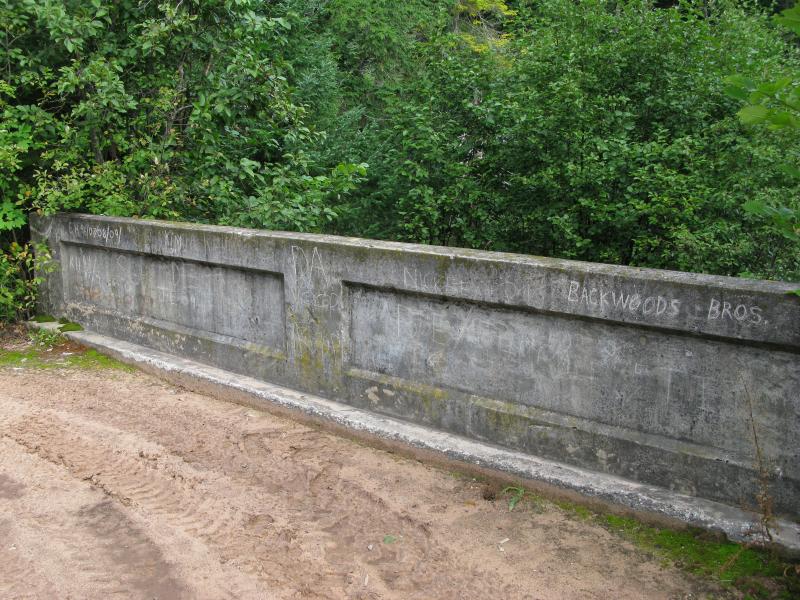
Graffiti on the Snake Creek bridge
Blind 35 ends a short distance past Snake Creek with the Huron Mountain Club property line. The outlines of the old road continue on, straight on past Salmon Trout River and beyond, but the traveled path veers south along the edge of their land towards the Northwestern Road. It was tempting to continue on this path and climb some other hills, the ridge nestled between Snake Creek and East Branch Salmon Trout River, but I turned back to Blind 35.
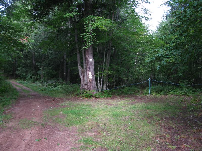
HMC property - and the end of Blind 35
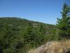
Just east of the Snake Creek bridge is a small path leading south. On a whim, I headed down this path and found a steep rocky boulder towering above the nearby trees. It took a while to find an approach that was sloped enough to climb, but I eventually clambored the huge boulder and was rewarded by some limited views back west. I continued east from here, gradually gaining elevation. There was a few outcroppings along my route with obscured views west and south, but most of my hike was within a sun-dappled pine forest.
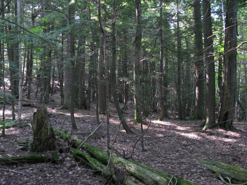
Pine forested slope eastwards
After reaching a decent elevation I came out on a large rocky plateau with sweeping southern views. I could easily make out the curves of the Salmon Trout River valley far below as well as Conway Point. The Keweenaw Peninsula was barely visible - Lake Superior was a bit too muggy for a clear view. It was on this rocky outcropping that I met my first bear, which was a humbling yet awesome experience.
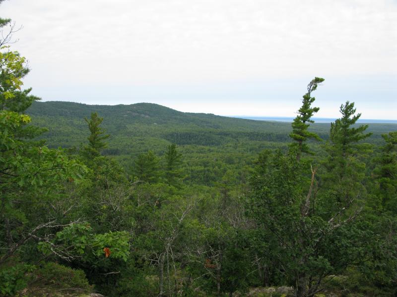
Looking northwest from southern Blind 35 Hills
After the bear I decided it was time to head back to the car, quickly. I tumbled downhill, ending up a surprisingly short distance from where my car was parked. I was fairly happy with the area I had explored, though it was only the tip of the iceberg in this area. There are plenty of more outcroppings to the northeast, a ridge between Snake Creek and East Branch Salmon Trout River, Ives Hill, and many more mountains to the south. There are a ton of hills in the area of Blind 35, and I'm looking forward to visiting more of them in future trips.
-
Jacob Emerick
May 13, '12
For sure. I'm thinking of heading back that way later this year, hit up some of the hills on the east side of Snake Creek. On this trip I was a bit tired at this point and in a rush to meet a friend, but I'm looking forward to returning to those hills.
Add to this discussion