Western Alder Hill
Both Alder Hills are located in a prime area for promising views. Being near the northeast corner of the Huron Mountains lends potential for vistas of Big Bay and Lake Independence with enough elevation to glimpse the edge of the Yellow Dog Plains. One could easily expect grand views and well-traveled paths on both peaks. My earlier climb up the eastern Alder Hill proved disappointing, with fleeting glimpses of the lakes to the east at best. I was not sure if the western hill would hold a similar outcome, but I wasn't about to climb the taller 1400 foot peak without confirmation that there was at least one good outcropping to find.
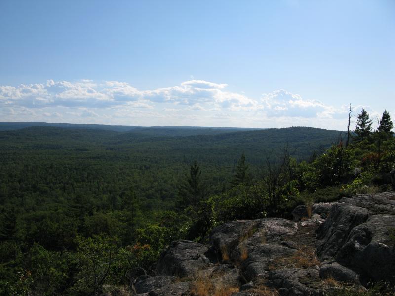
Many outcroppings on the south face
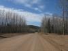
There is a small parking spot where the Triple A ends at County Road 510 with a four wheeler/snowmobile trail leading into the woods. This path roughly parallels 510 southwards from here in what I'm assuming is a normal trail for snowmobilers coming off of the Yellow Dog plains that want to avoid riding on the road. I parked here and followed it south, slowly walking past my destination to the left. I had a hunch based on some satellite photos that I could find a good vantage point about a mile to the south and walking along the wide, flat track out of my way for a mile or two was definitely better than climbing a mountain and finding no views.
After sticking to the main route for a distance and cutting off on a few side branches I bumped into a sudden rise of rock just off trail. I clambered up a narrow crack around hardy undergrowth clinging to the inches-wide path and broke out of the thick foliage to find a revitalizing view. This was what I had been searching for all day and was about to climb another mountain for.
Outcroppings on the southeast face
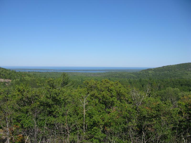
Lake Independence between the Alder Hills
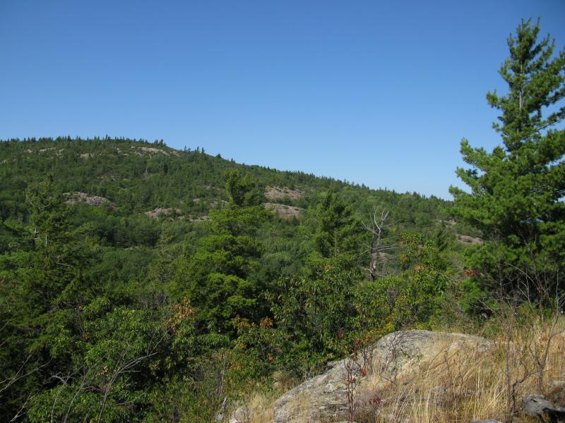
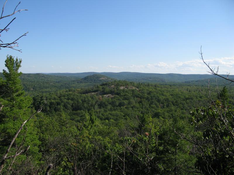
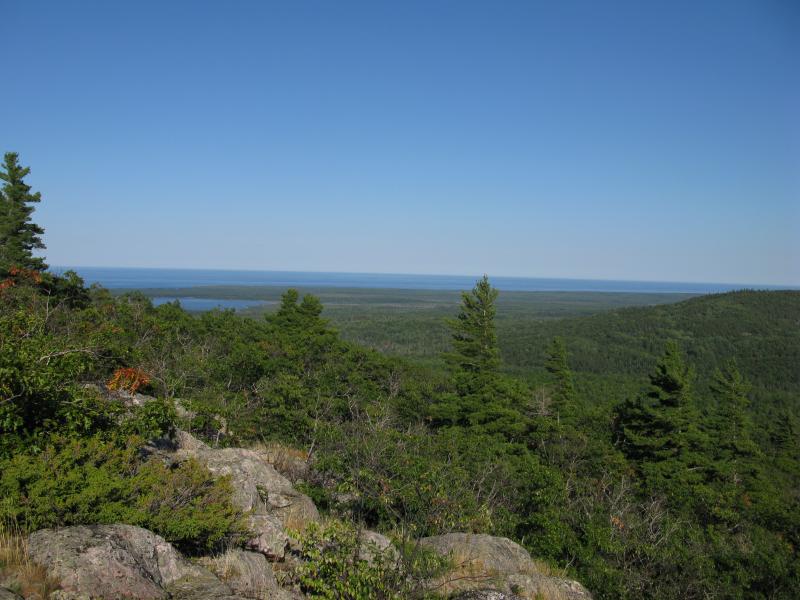
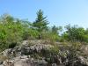
First view of the southeast Alder Hill
To the north rose the western Alder Hill with numerous outcroppings peppering it's wooded slopes. To the east lay Lake Independence and Lake Superior beyond, and to the south the eastern Alder Hill gently rose from the thick green woods. I could make out a few small breaks on the eastern hill, mostly on a ridgeline extending west towards me, and realized that my earlier hike would have been much more successful had I started here. Also, this gave me the confirmation I needed to climb the western Alder Hill - there were plenty of rocky outcroppings that would give me good views of the area. After a short rest on the sun-warmed rock I dropped down to the trail and cut straight to the mountain avoiding my previous trail, with a clear goal to reach the peak.
The woods were relatively easy to bushwhack through, with only a few gorges cut by seasonal streams causing me to veer slightly off course. The mountain crept up on me, and it wasn't until I hit the first rock outcropping that forced me to use all four limbs to climb that I truly noticed I was gaining elevation. This outcropping was one of the lower ones I had spotted earlier and it gave me a chance to reorientate myself and survey the forest below. From here I decided to start wrapping around to the eastern slope, which would allow me to venture out on multiple outcroppings and hopefully get a good view of Big Bay and Salmon Trout Bay to the northeast.
Looking back at the outcropping
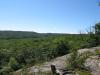
My climb was gradual but testing. To 'jump' from one outcropping to the next involved bushwhacking through thick scrub, climbing a steep rock wall, weaving around boulders and huge cracks in the exposed rock, and then dropping back down to the scrub again. With all of the outcroppings on the southern face each view was roughly the same, with only small changes due to elevation differences. I finally reached a respectable height and took a good look around. Minor hills poked up to the west with a solid horizon line marking the edge of Yellow Dog Plains. The Panorama Hills poked up randomly to the south, reminding me of the many trips I've had in that area. The eastern Alder Hill lay stretched out before me and only a corner of Lake Independence showed itself in the east. I never found the great northeast view that I was hoping for, but the climb was worth the southern vista alone.
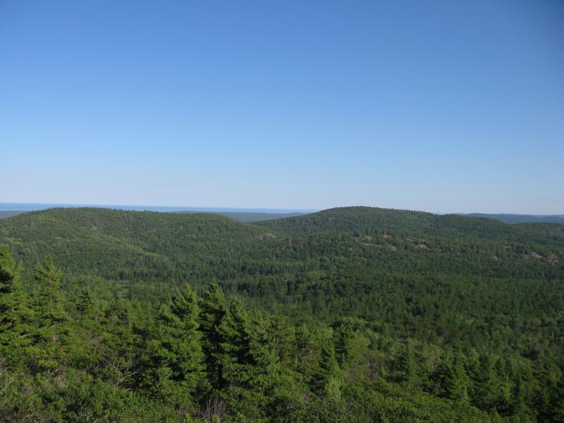
West towards Yellow Dog Plains
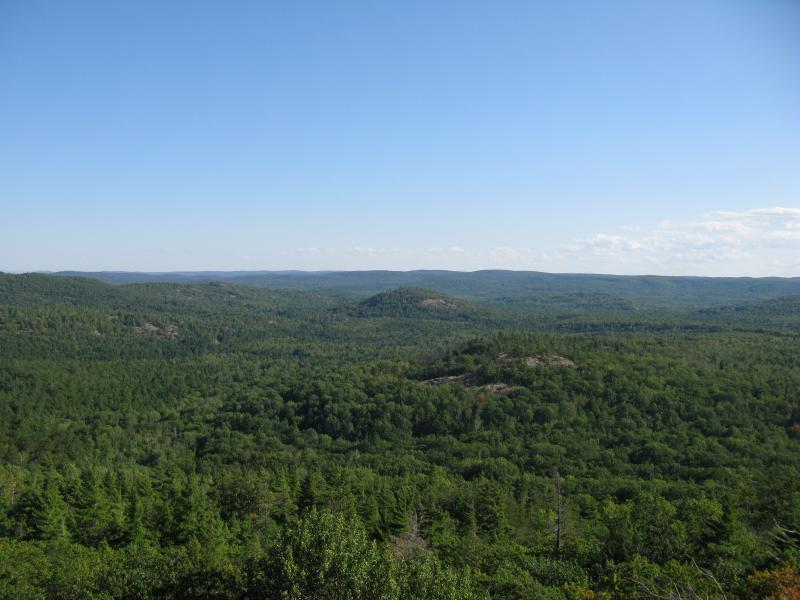
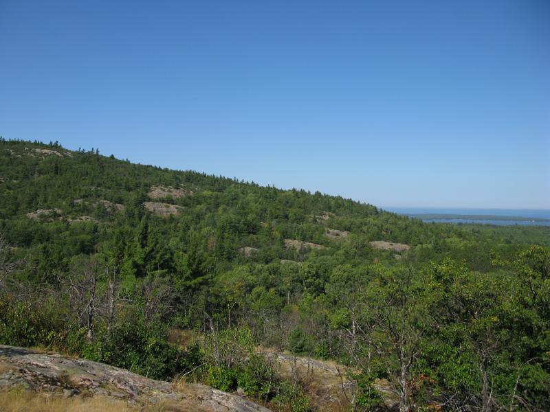
Outcroppings south of Alder Hill
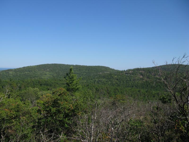
Full view of the eastern Alder Hill
Lake Superior and south tip of Lake Independence
I was fairly confident I had reached the best outcropping on the southern slope that I was going to find so I tightened my curved route and made it to the peak. There was no view up here - only trees and low brush. I ventured over to the northern and western sides and only found a limited view westwards. There might be outcroppings somewhere on the northern slope - however, today I was far too tired to search further and was only interested in settling down for the evening. Trotting down the steep western slope was difficult with multiple sudden drops to navigate around. Along the way I bumped into something I had suspected was in this area, an occupied cabin, so I gave it a wide berth to the south. If I would approached the summit directly from my car with no southern veer not only would I have ran into this cabin earlier but I probably wouldn't have found a single outcropping or view. After the cabin there was one more sudden drop to climb down before meeting up with the original track that led straight back to my car.
As of now I can't see a reason to return to these peaks. There are a few outcroppings on the western flank of the east Alder Hill, but I can't imagine the view from them would be worth the bushwhack. If I found some proof of a northern outcropping with possible views of Big Bay and Salmon Trout Point I might attempt that hike again (probably via a shorter approach from the Thomas Rock parking lot), but Thomas Rock has pretty good views in that direction already. It was a fun afternoon, but I'd only recommend this hike to a completionist who is looking to climb every significant Huron Mountain peak.
Comments (0)