Wetmore Hike Part A - Sugarloaf Mountain
Just a few miles north of Marquette is a small collection of interesting locations that I had ignored for far too long. Casting them to the bottom of my list as 'easy tourist' stops, I've driven past the Wetmore area to more appealing remote locations beyond Big Bay numerous times. I rolled into the Sugarloaf Mountain parking lot on a cold, damp morning with an ambitious plan to visit several of these locations in one fell swoop.
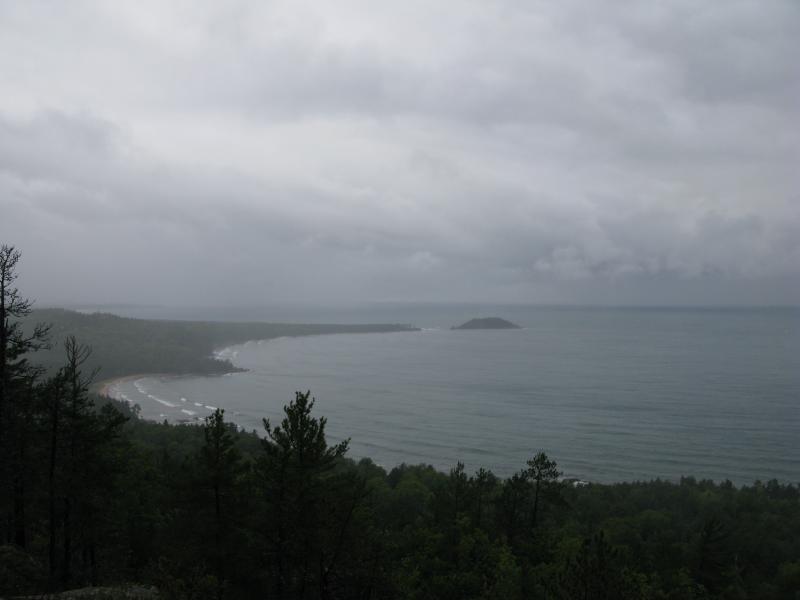
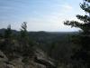
Looking north towards Wetmore Beach from Sugarloaf
My first destination was an easy climb up Sugarloaf Mountain. It had been a rough night camping near Diorite, with high winds and freezing temperatures robbing any chance of a restful sleep, and I was thankful for the wide paths leading up the mountain. There are two trails leading up the mountain, an 'easy' and 'difficult' route, and I took the difficult route uphill (I'm pretty sure it's shorter). Both trails were well-trod and easy to follow with stairs built on the steeper sections.
The air was cold and damp with a thin fog clinging to me as I followed the trail up. Tall trees surrounded the trail and slick rocks stuck up on the rugged ground, giving the entire climb a nice rustic feel. The path was not exceptionally difficult, even when the flights of stairs near the top of Sugarloaf quickened the vertical climb, and I made it up to the bare top in short order.
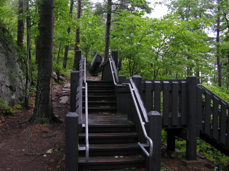
Rain-slick stairs up Sugarloaf Mountain
While the night's weather was starting to blow over, high winds and low cloud cover gave the area a chilly, wintery feel that was in sharp contrast to the green of the trees below. The view from the top was impressive; I could make out waves crashing against the rocky shoreline directly below and some of the larger buildings in Marquette to the south. Hogback Mountain rose up to the west, cloaked in the low clouds.
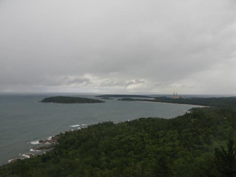
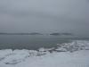
North towards Marquette from Sugarloaf
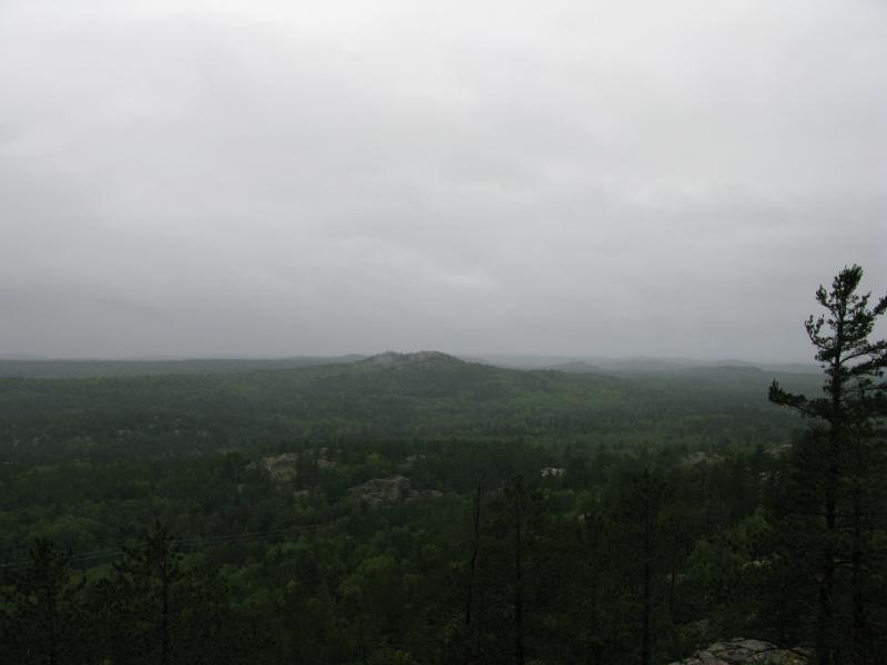
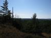
West towards Hogsback from Sugarloaf
The top of Sugarloaf Mountain had a deck-like wooden platform over some of the outcropping, offering easy views in all directions. There is even a stone monument built facing the south by the original builders of the trail system. I took my time up here, enjoying the morning solitude and walking carefully along the slick boards, checking out all of the different views, before heading north away from the trails.
I've actually climbed this mountain before, during the winter months. It was a tough trip up the icy trails with Logan, ending in a death march back to the car, and was not a hike I remember fondly. The photos were lost but I did remember a few things about the route I took. There is a North Country Trail (NCT) that leads through a sharp gorge to the north of the peak that I now cut to and clambored down. (Note: I do not recommend this route during most of the year - it is a steep drop that is best handled with several feet of fluffy snow to catch your fall). Once on the blue blazed trail I headed towards the shoreline to my next destination - Wetmore Beach.
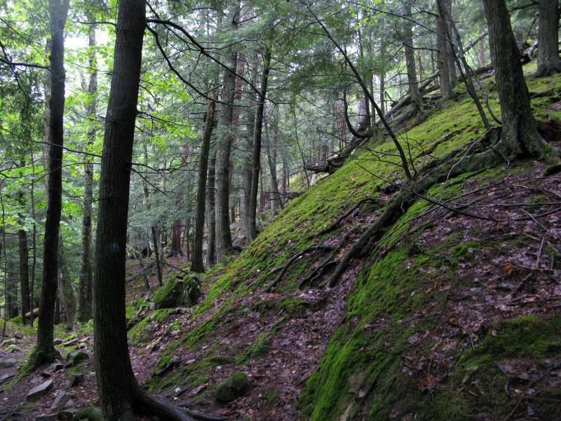
Mossy outcroppings on the east side of Sugarloaf
Bright green moss grows abundantly on the northern flank, surrounding the narrower NCT leading down to the waterfront. After tromping downhill several hundred yards the trail starts to lean more north than east. I wanted to reach the rockier outcroppings south of Wetmore Beach, so I cut off the trail and headed southeast. After some nasty wet bushwhacking through thick branches and undergrowth I emerged onto the shoreline atop some huge black rocks for a breathtaking view of Lake Superior.

-
Jacob Emerick
Sep 14, '11
I've yet to swim there yet - really should take Katie out there during the summer sometime. Seems like every time I visit here it's either winter or snowing or both...
Add to this discussion