Trap Hills near Cascade Creek
The morning air was crisp enough to draw a shiver from me as I searched for a path. I had parked on the end of a forest road east of Old M-64 on a spring morning and wondered if my double shirt and jean jacket would be enough to protect me from the cold. Finding the sign that marked the start of the hacking trail I set forward at a brisk pace. This trail would take me south to the North Country Trail, deep in the Trap Hills area. This was not my first adventure into the Trap Hills, but based on online accounts it promised to be a great one.
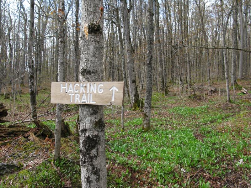
Hacking trail leading to the ridgeline away from t
On a few searches for Hidden Falls I had climbed Cookout Mountain to the west, a decent sized lump of pink granite only a few miles from where I was today. Further to the east lay Cascade Falls and a few hills, as well as Norwich Bluff and Lookout Mountain, all of which could be drawn into the Trap Hills area. Today I was tackling the middle section that many NCT hikers swear by, a set of south-facing bluffs with Cascade Creek flowing far below.
The hacking trail is not part of the NCT. Instead, it connects the main trail with a forest road, and I've heard it was once used for letting hawks free, although I'm not sure if the hawks were raised in captivity or were simply treated at a rehab center. Marked with white blazes and slowly climbing up over 1600 feet, the trail warmed me up to the point that I left one of my shirts behind tied to a tree. By the time I reached the North Country Trail I was a bit out of breathe but acclimated to the temperature. Thanks to the bare trees I could tell I was close to the bluffs of Trap Hills and so I impatiently continued south, past the trail, to see the view. I was not disappointed.
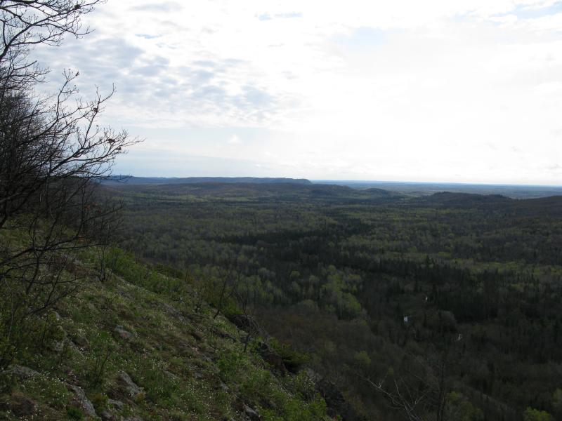
First views east along the ridgeline
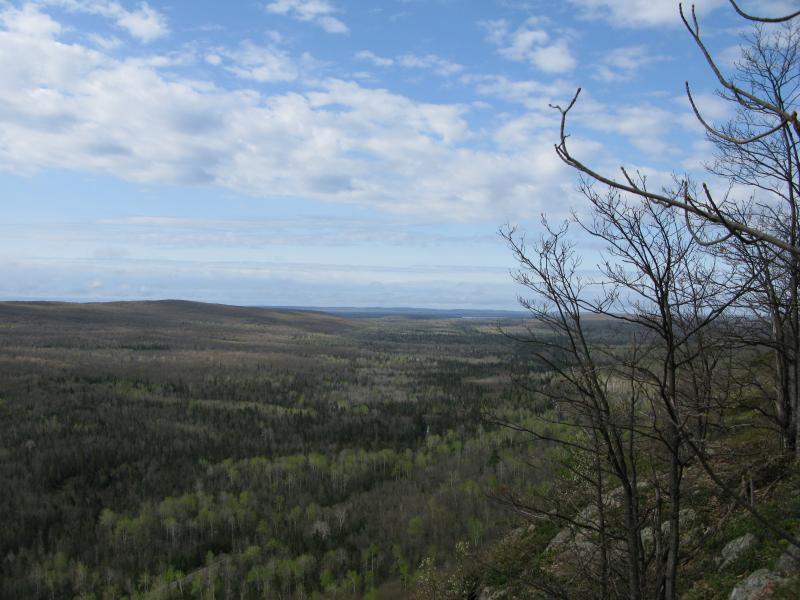
West along the ridgeline
Far below I could make out Cascade Creek and a railroad line surrounded by darker trees. In the southwest a thin sliver of blue marked Lake Gogebic, although a few hills in between hid most of the lake. There were a few bluffs to the left that I could barely make out against the woods that are either Norwich or near Norwich. I didn't rest here for long, choosing to head east right away. The edge here was odd, with steep crumbly rock covered in unstable mosses dampened from last night's rains. Trees marched up close to the edge, so in order to get a good view I had to venture out further than I wanted to and scurry back quickly.
I followed the main trail down a narrow, creek-cut valley before venturing back up to the last big bluff before Bush Creek. The climb was more than I would have guessed from the topographic profile but I still made it to the top in one piece. A low, solemn bluff lay just across Bush Creek between me and the hills near Cascade Falls but I was in no shape to tackle it. While this point offered a great view eastwards the eastern view was mostly blocked and any view north to Lake Superior was out of the question. I had hoped to catch a glimpse of Lake Superior but had not leaned to heavily on it.
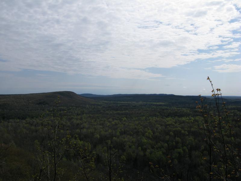
Northeast to the hills around Bush Creek
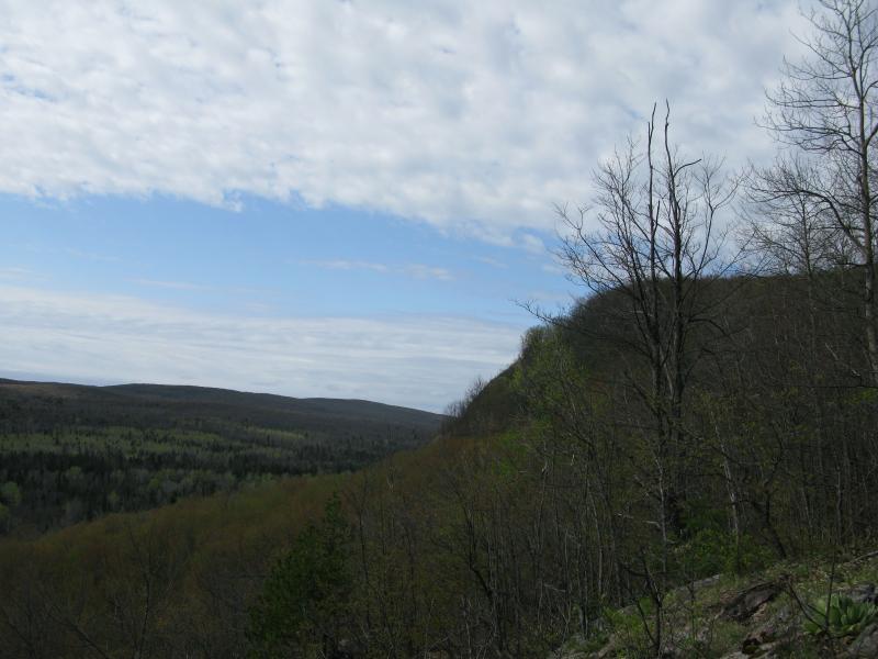
Looking back west towards the bluffs
Instead of backtracking to the trail I decided to be a bit adventurous. Small, annoying bugs coupled with black flies had started to wake up in the warming sun and I hoped some brushy obstacles would dissuade them. Down the steep south-facing bluff I walked, curving westwards where I could. The slope was not as severe as the spot near the hacking trail and I was able to weave through the thick undergrowth and tangled trees with relative ease. As I headed down a small idea started to dawn on me. While this hike had offered me some impressive views I was not terribly enjoying it. This was unfamilar land, especially compared to areas east in the Huron Mountains or Peshekee that I've racked up dozens of visits. These cliffs were still impressive and maybe a walk along the railroad below would change my feelings about the hike. I continued downhill, thinking about adding this to my hike, when a loose rock slipped under my foot and a small snap was felt in my left knee.
Immediately I sat down. I've hurt both of my knees on previous hikes and was not interested in aggrevating an old injury. After a few minutes of rest and weighing my options (and being hassled by swarms of bugs) I gingerly tested my weight. It hurt, but not too bad, so I changed my course and headed due west. My downward route had not yet gone below the creek's valley I had passed through on my way out here so I aimed for that and avoided too much uphill. Following the main trail again I slowly made it back to the hacking trail. My knee smarted but wasn't in direct pain yet so I decided to go just a little farther. The original plan had been to go a few miles west along the trail, hitting up a number of outcroppings and a small waterfall on Sandhill Creek, but that was now out. One more good view was all I wanted today.
Not all of the Trap Hills were aligned in a nice line. Just west of the hacking trail the tallest peak in the area, close to 1800 feet, rose up behind a bluff as if it was eager to peer over the bluffs just north of Cascade Creek. I had hoped to climb this taller peak to catch a better view of Lake Gogebic but that was now out of the question. Settling down to the shorter bluff in front of it, I slowly followed the North Country Trail for a short while before cutting back to the cliffs along a sharp, narrow bluff. From here I could make out the same sliver of the lake to the south far beyond a curve in the railroad below. Gently I sat here for a while, trying to ignore the bugs while I planned my return hike.
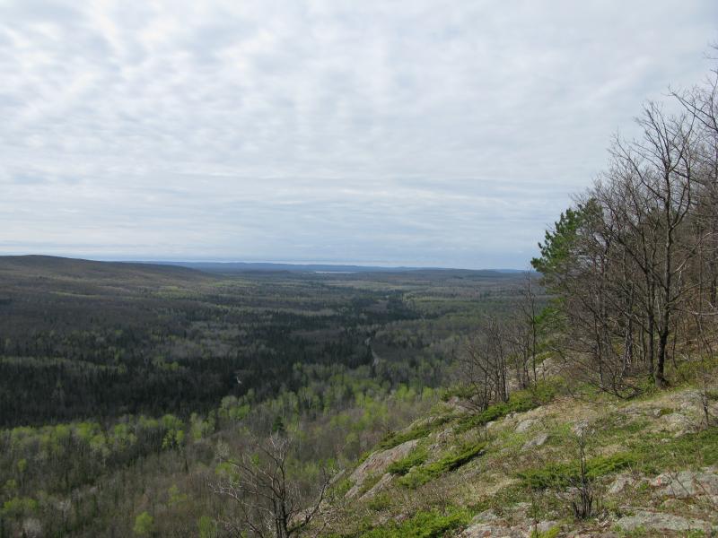
Lake Gogebic peeking out in the far southwest
Returning along the hacking trail was a slow but steady progress. Once I left the edge of the bluff I picked out a sturdy stick to lean on. Going downhill is harder on the knees than one would think but I made it first to my shirt, than to my car, only slightly worse for wear. Frankly, my hike was a disappointment. I know that many people enjoy this section of the NCT and I did not get to experience the full route, but the unfamiliar terrain combined with bare trees and bugs just did not make the drive and hike worth it. I would not recommend this hike unless you really enjoy the Gogebic area or at least adventure out during fall colors.


-
Jacob Emerick
Sep 14, '15
Sorry man, this hike didn't sit well with me. New area, lots of bugs, and just didn't really feel the views. However, if I would have had an experienced hiking buddy like you along I probably would have enjoyed it a lot more.Further east, eh? Interesting. I did not cover a large area of the cliffs, probably less than two miles, but maybe should have headed further that way.Curious about your thoughts on off-trail views along the NCT. I've wandered around quite a bit on the Norwich - Victoria section to find good views and felt pretty guilty about it. As someone who maintains (and enjoys) this trail, how do you feel about people tramping around 10' to 50' feet off?
Add to this discussion-
Jacob P Emerick
Oct 4, '17
Thanks Dawn. Yeah, Mr. Invincible (Nathan) also disagreed with my assessment, although he's a little biased as the trail maintainer (which is v appreciated). Perhaps I just picked a bad time to do it or was just having a bad day. I'm glad you enjoyed the hike, though!
Add to this discussion