Mount Mathew
Mount Mathew is located just north of Three Lakes within a few miles of Marquette, Michigan. Less than a thousand feet in height, it is dwarfed in both stature and awareness by Sugarloaf and Hogback to the north. Even the Three Lakes area is only known by its closeness to the Dead River Falls upstream. Even though I had suspected that it would be a good hike, it wasn't until I found a geocache located on it's summit (along with a promise of a path up) that I decided to visit the small peak.
Southern view towards The Sands
I parked just off of the familiar Forestville Road (which leads from Wright Street to the Dead River Falls) where a county road breaks off to the north. This is also where the Lake Superior & Ishpeming tracks are clearly visible from the road which would serve as my route to the mountain. I don't necessarily like following train tracks - they're not the easiest or most enjoyable thing to walk on (you'd be surprised how much the ties move around over time) and I'm constantly worried that a train is going to sneak up from behind and tap my shoulder in a disapproving way. However, I thought this was the best approach and I headed east down the tracks at a brisk pace.
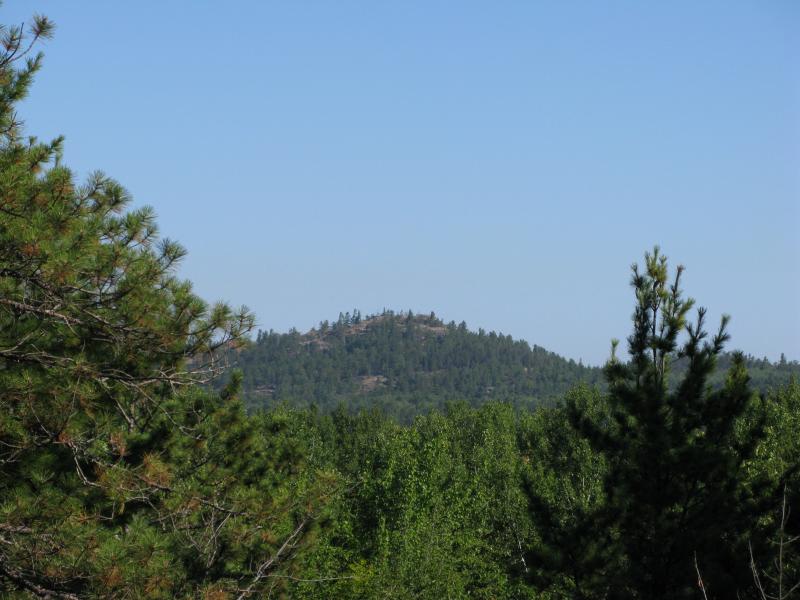
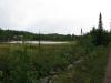
After a half mile the woods to the north started to thin out and I could make out the first of the three lakes. Smallest and dotted with lily pads, this lake resembles a pond or swamp more than a lake. It was here that I caught my first view of Mount Mathew - a ridgeline not 200 feet higher than the train tracks.
First view of Mount Mathew's ridgeline
The next lake is partially cut by the tracks with a small chunk of water on the south. Even with my path surrounded by water there were still trees blocking my view of the mountain, so I wasn't able to get a better view of my climb. This second lake was larger than the first, with obvious deep spots in the middle, but the largest lake was further south and did not touch the tracks - Forestville Basin. I would visit the third lake later in the hike. For now I turned back on the tracks to where a small piece of lowland divided the two lakes and led off the tracks, northwards to the mountain.
Swampy northeast pond of Three Lakes
It was odd on the land between the two lakes. After being so high above the lakes on the train tracks walking just above the water level felt a bit awkward. There was only one real muddy spot with several logs stacked up to walk on before the climb started over loose rock. While the trail up the mountain seemed well-traveled, it was also a bit treacherous, with fist-sized rocks easily rolling away downhill underfoot. After a brief climb I came out to the ridgeline I had spotted earlier with a good view of ponds below.
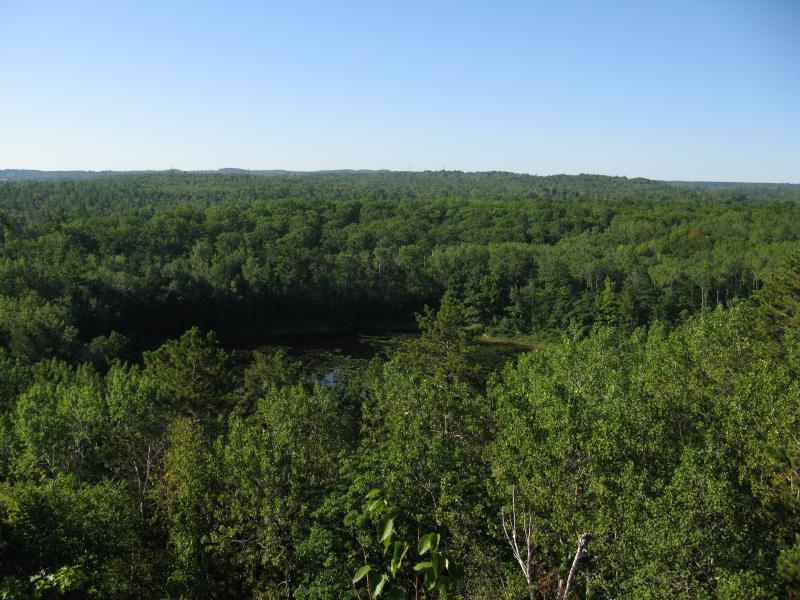
Small pond below the mountain
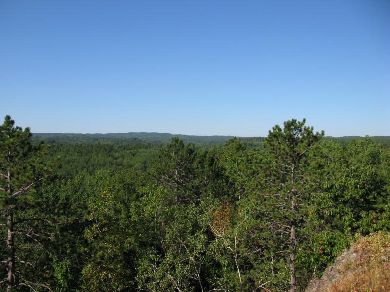
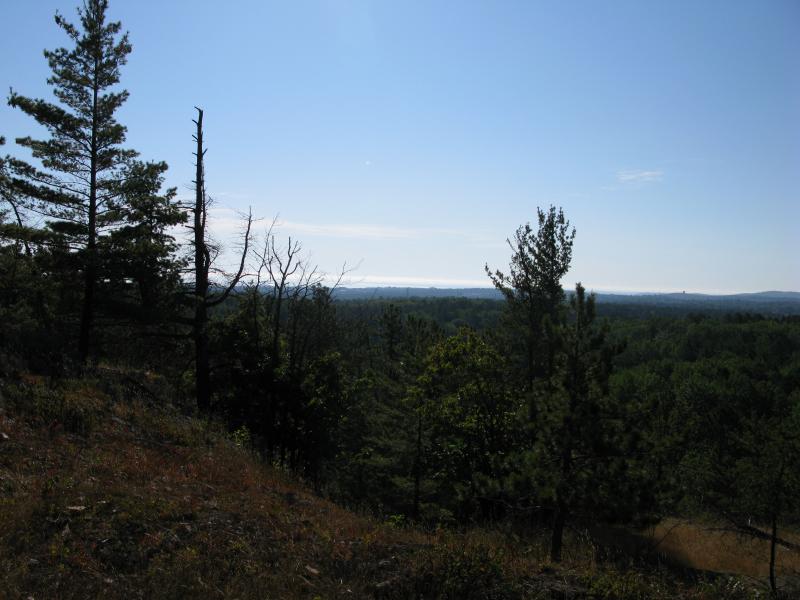
Southwest towards the mines and highlands
Once I had a quick look around I headed north on the relatively flat peak of Mount Mathew. I was really looking for a solid view north to Little Presque Isle, Hogback, Sugarloaf, and beyond. A view of those three features and the Lake Superior shoreline stretching away to the north would have been perfect, and this peak seemed like a good spot to find it. There wasn't a break or good elevation drop, though, and I barely got a view of Hogback and Little Presque Isle.
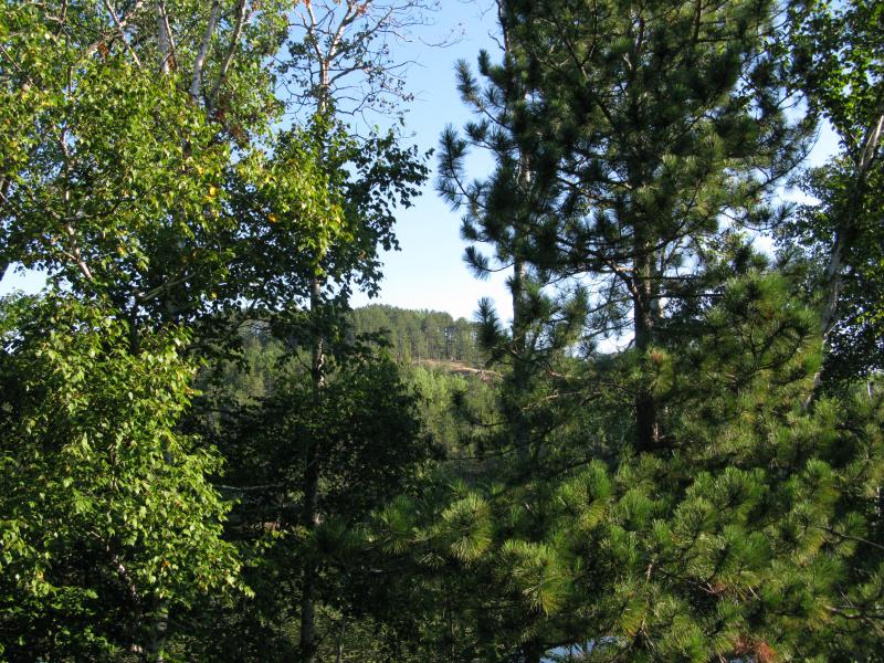
Narrow view north to Hogback Mountain
During my climb I had thought I had heard voices behind me, people far enough from me to be heard but not seen. During my walkabout the peak I finally bumped into three older locals who climbed up not ten minutes after me. After a short talk they recommended checking out the North Country Trail, which runs north of the mountain near the 'Dumping Road'. There are three small bumps of elevation over there that might offer the view I was looking for. I thanked them and took off to the north, clamboring down the peak and bushwhacking through a small saddle (cutting along the NCT along the way) and climbed up the first bump. There was nothing here except a flat slab of rock and thick tree cover. Still hopeful I headed west and climbed first one, than the other bump with no luck. There was no northern view to be had.
A bit tired after the northward loop I headed back south, planning on going straight back to the railroad tracks. Along the way I cut through a narrow channel of rock with a tall, clear side of Mount Mathew rising to my right. This was too tempting - I climbed straight up, back on top of the mountain. From here I got a good view of Marquette to the southeast, with the Superior Dome and power plant stacks clearly visible against the foliage.
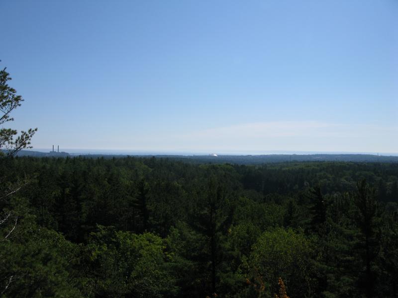
Marquette to the east
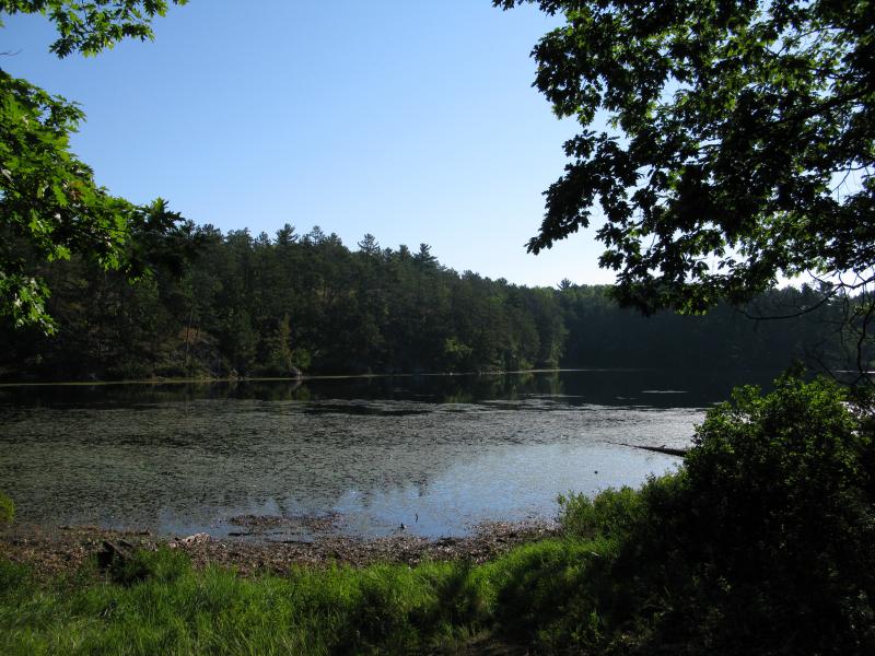
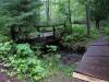
From here it was a short hop over to the path I originally came up on, and soon I was back on the railroad tracks. I then noticed something on the south side of the tracks. My focus on the north distracted me from a wide trail. Curious, I followed it and found a dirt road going east-west. More significant was the last of the Three Lakes, Forestville Basin, beyond the trees in front of me. I climbed down off the road and to the reservior's edge. The water was murky but I could make out a few fish swimming near the shore line. The lake was much larger than the other two, and I wonder if there was always a lake here (though probably much smaller) before the dam and how old the term 'Three Lakes' was.

A still Forestville Basin
The walk back to the car was uneventful. I didn't feel comfortable on the road (it felt like a private drive) and cut back to the tracks. Not finding a northern view was disappointing but the overall hike had still been fun. Finally visiting the Three Lake area and climbing a little-known peak was well worth the trip, and I'd recommend visiting Mount Mathew to anyone in the Dead River Falls vicinity with an extra hour or two.
Comments (0)