Around Echo Lake
My Saturn Ion shot through the late-summer woods along a narrow two-track. The road to Echo Lake Nature Preserve, a walk that had taken my tired legs hours to walk last winter, was an easy drive for my little sedan. There were a few mud puddles, a few splashes to cake the sides of the car, and then I was standing at the red gate. Well, that was easier than my last visit.
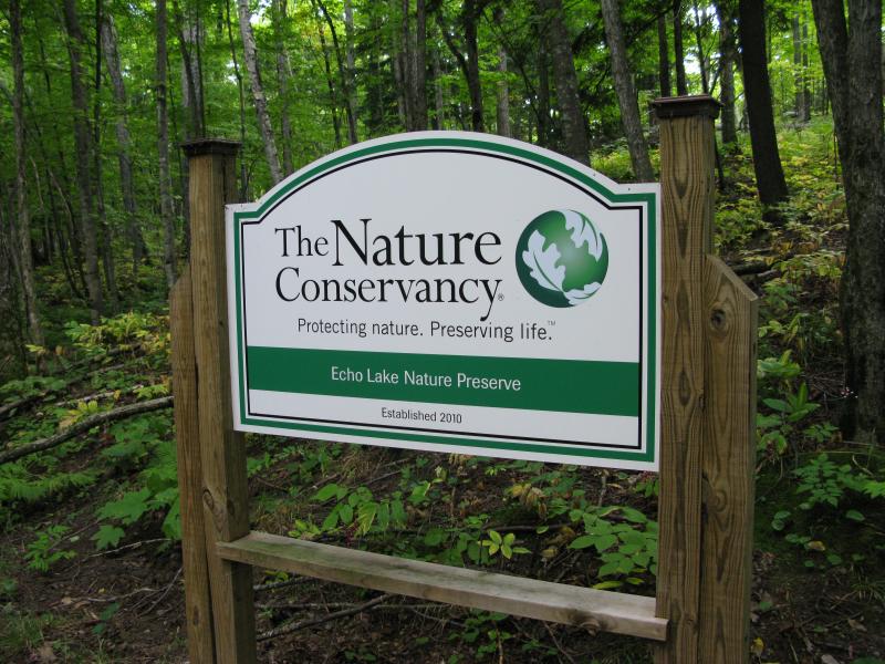
Sign for Echo Lake
Echo Lake is a tiny little lake northwest of Harlow Lake and Marquette, a few miles inland from Lake Superior. Cliffs soar up from two small coves on the western end of the lake, promising 'echo' opportunities for ice walkers or kayakers. The cliffs are just one feature of the area, though. Extending out to the west is a large area of rugged exposed bedrock with numerous outcroppings and several uplifted ponds. On my first visit to the area I only made it to the eastern shore of the lake before turning around - today I wanted to hike all the way to the western side.
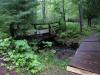
The red gate blocked the road a few hundred feet short of the lake. There is a small parking area here, large enough for two vehicles, and I left my car squeezed off to on one side. The rest of the way would be a short uphill jaunt, nothing compared to the winter walk. I hopped lightly over the gate and trotted up the road, excited to explore the area more fully.
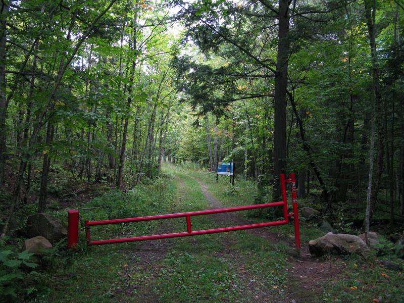
The red gate in the green woods
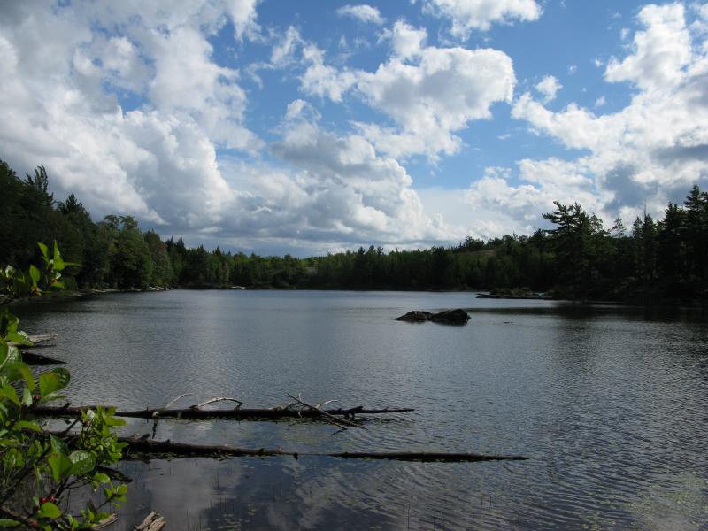
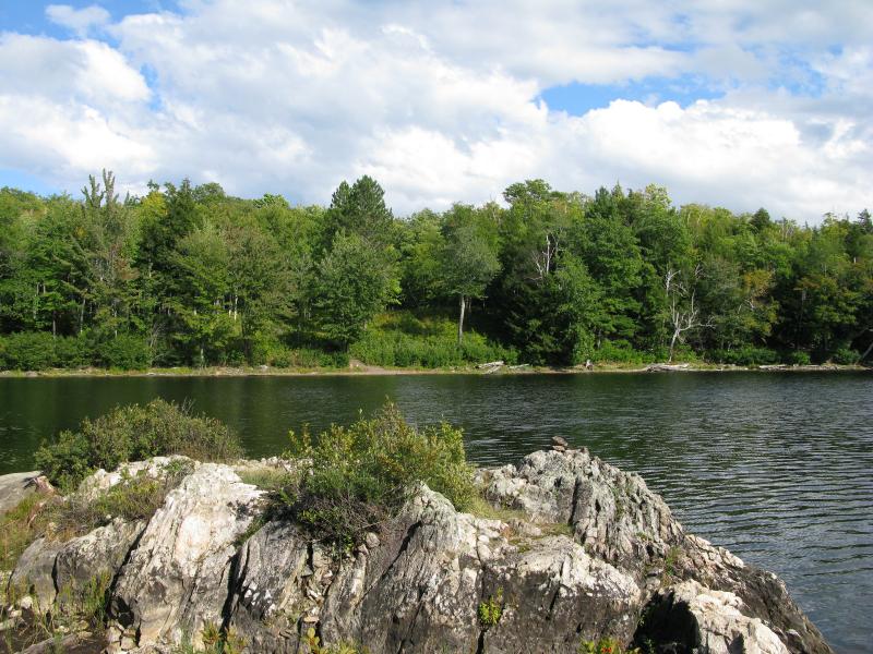
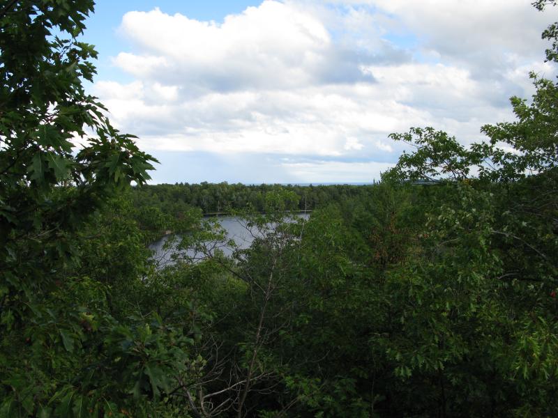
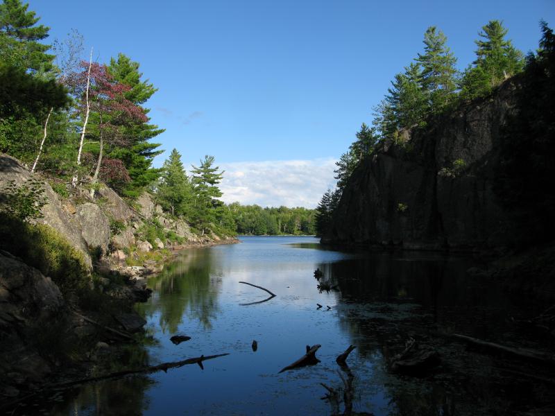
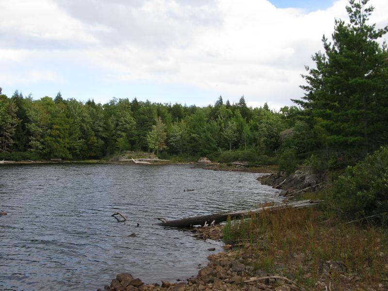
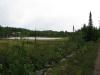
A large clearing marks the end of the track on the eastern shore, the same clearing I came out on during the winter visit. I slid lightly down to the water's edge to get a closer look. The water was blue-blue, probably quite deep, and bumpy under a light breeze. I gazed across hungrily, looking for hints of how my journey would go.
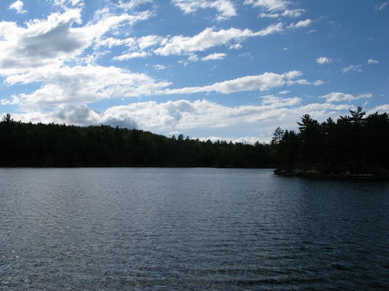
Cloudy sky over blue-blue waters
The 'highpoint', a spot north of the lake that promised views out to Lake Superior, was hidden in tall green trees from here. Also, the western cliffs across the lake were hiding behind a peninsula. Echo Lake didn't give me many clues on the terrain. Without too much additional knowledge I headed back to the clearing and headed north along a marked and well-traveled footpath.
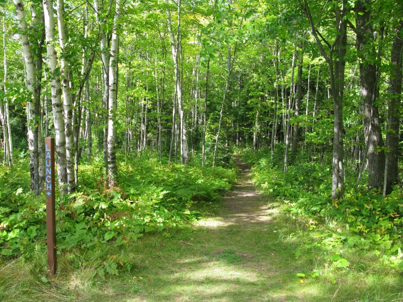
Beginning of the trail
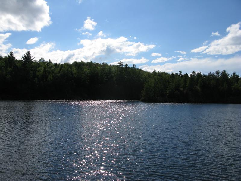
The lake is not large, maybe twenty acres all together, so it didn't take long to round the shoreline. Every once in a while I'd get a glimpse of water through the trees from my path. The trail stuck to higher ground, a few dozen yards from the lake at the most, At one point I snuck off the trail to get a good view south at the peninsula, one of the main endpoints of the official trail, and scared a small group of geese. The lake and sky were in concert today to paint an amazingly vivid scene.
Looking south towards the peninsula
Aside from the trailhead the path I walked was not marked. It didn't need to be - it was wide and well-trod, easy to follow through the grass and cedar groves alike. I ran into a large post that marked the main fork. One way led to the highpoint to the north and other way led to the peninsula. I headed to the peninsula.
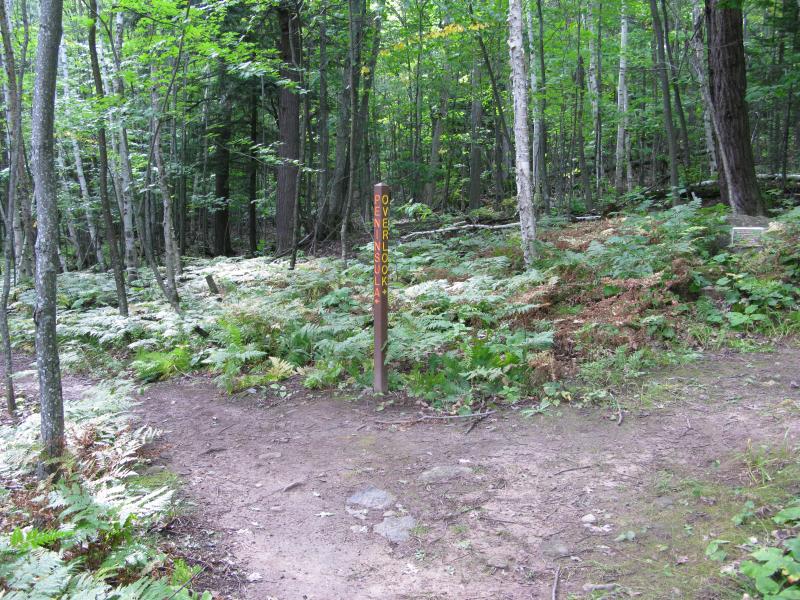
A fork in the path
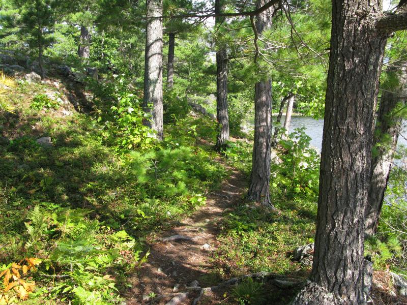
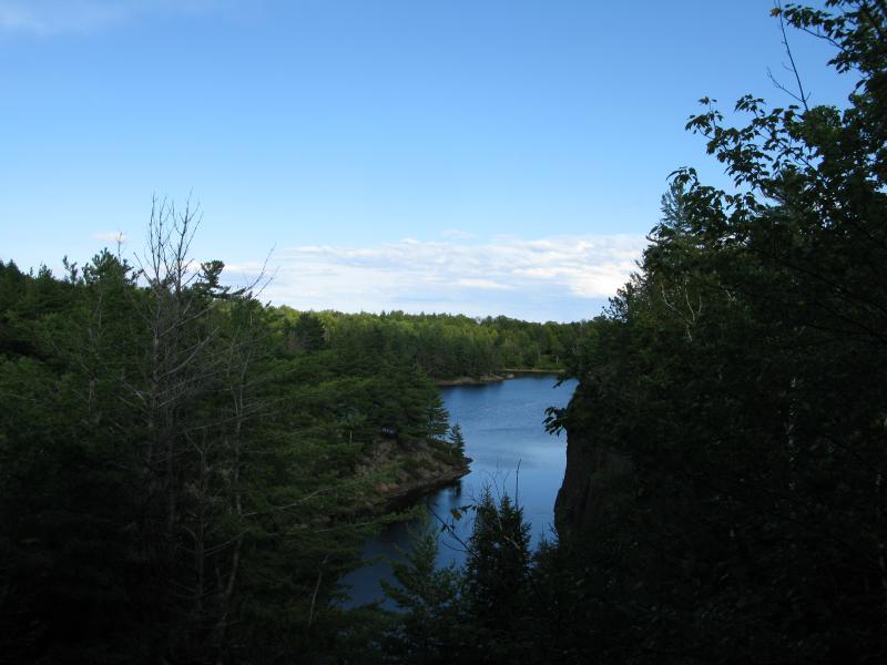
The trail swung back with the lake, now heading south, and my passage bothered the geese again. They splashed with big annoyed sweeps and changed direction to keep away from the big scary human. I walked quickly down the path as it continued south, passing the peninsula at first, then turning along with it. Now I was right on the edge of the water, the once-wide footpath now a skinny little thing, squeezed between crumbling rock and encroaching water.
Southwest cliffs
Narrow path on the peninsula
From the tip of the peninsula
At the tip of the peninsula I took a look around. A short distance in front of me was the clearing on the eastern shore I had just left, the main entry point to the lake, though from here it was just a grassy slope. I was surprised at how marshy the northern shoreline was, the one I had just walked along. Now I was glad that the path stayed a healthy distance inland.
Most of the western cliffs were still masked by the bright sun and dark shadows, though they were starting to look tall and scary now that I was closer. Somehow I would have to cross over those foreboding rock formations. Pushing off that thought I turned from the well-trod peninsula and backtracked, leaving the lake and views behind.
A marshy northern shoreline
It was time to tackle the highpoint. Once I reached the fork I took the other path, a steady slope that climbed through gravely woods and past some exposed rocks. It was an annoying climb for me - I'm used to heading up hills and mountains directly - and this route was switching back and forth to keep a gradual slope. Unfamiliar with the land I stuck to the trail and kept my discontent managed. At least the woods were pretty.
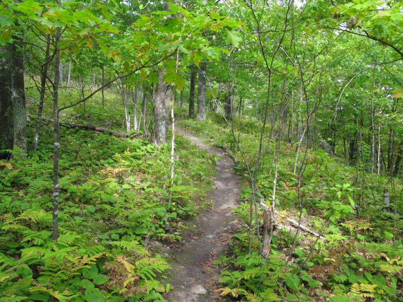
Narrow uphill path
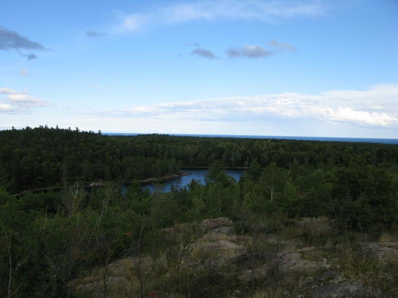
When I finally reached the top I was surprised by how limited the views were. Don't get me wrong: the view was rather pretty. However, the trees and undergrowth reaching up was dangerously close to blocking them. A few more years and Lake Superior could disappear behind thick green.
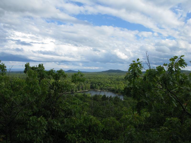
Over to Sugarloaf and Hogback
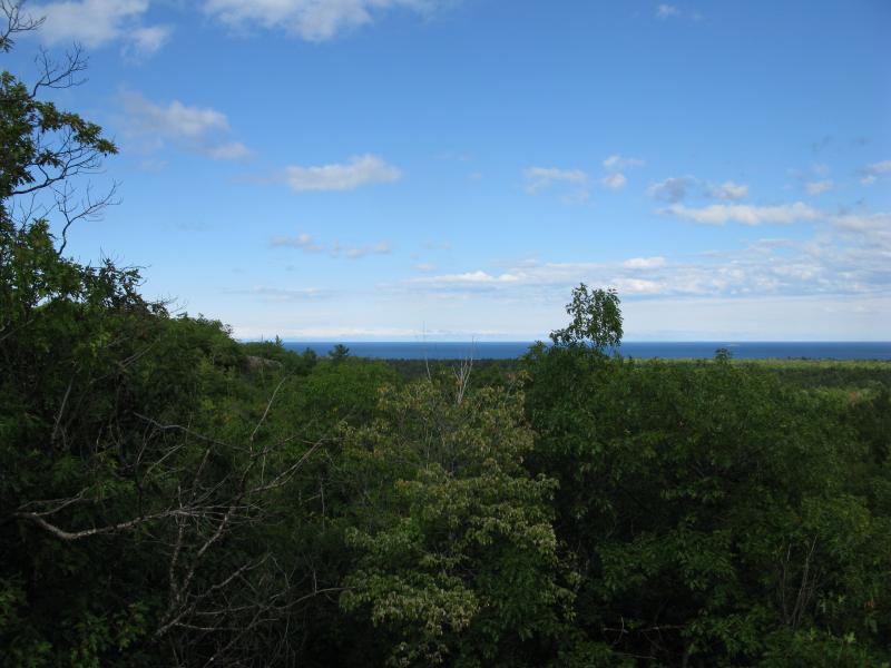
North up to Lake Superior
There was another outcropping further to the north just visible from where I stood. The trail ended here though, and I had other places to visit, so I decided to head back down. The other outcropping looked to have less obstructions from here, a more expansive view, though I'm not sure if it sits on the preserve's land.
I followed the trail downhill for a short distance before cutting off on one of the switchbacks. Picking a more direct approach I headed straight to the lake, this time aiming for the far western shoreline, hoping to break out onto an open view to get my bearings. There were none, though. Outside of one more glance eastwards of Sugarloaf there were no views of the lake itself on my approach.
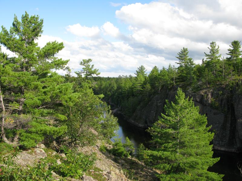
Two watery prongs reach west from Echo Lake in between towering rock cliffs that create a difficult barrier for hikers. In order to traverse the western shoreline of the lake you need to climb down a steep rock slope, cut across a swampy and cluttered stretch just to climb up another outcropping and repeat the whole thing.
It took awhile to just find a sane approach down the steep rock cliff. The bottom was a mean surprise, a cluttered, rocky gorge with thick moss and swampy ground below. Forced to crawl and snake my way through the thick growth I cursed a few times under my breath. There has to be an easier way along this shoreline, maybe a path further to the west. When I finally broke through the narrow prong and climbed up the center outcropping I was faced with two very mean surprises.
An obstructed view eastwards
Ominous cliffs to the southwest
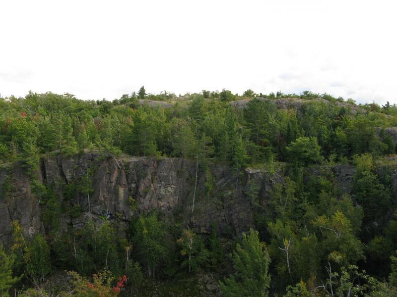
Thick green blocked my view east, keeping Echo Lake just out of sight. I had hoped to get a good view from here of the peninsula and east shoreline. Also, the next climb was going to be much more difficult. To the point of being impossible. The cliffs were vertical, a jagged shock of rock that stretched eighty feet high. I'd have to get creative to continue my route around the lake.
Looking up the steep southern shore
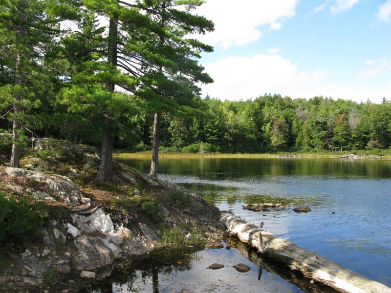
As I wondered how to get on the southern shore I wandered east along the outcropping. I slowly descended in height, dropping a few feet here, a dozen feet there, until I was a mere thirty feet above the lake. Directly across the watery canyon was a drop in the cliff wall, trees pouring down from the heights in what promised to be an accessible slope up. If only there was a way to cross the water… Oh, a beaver dam. Getting to the southern shore just got possible.
Dropping down to the lake's edge I hopped over the water, using logs and piles of sticks to get over to the southern shore. Once there I had to inch along for a while before crawling on all fours up the steep bank. It was tough going, a quick and dangerous climb through thick woods before coming out on top of the steep cliffs. When I finally made it an impressive view opened up below, one that included both peninsulas of the lake and was almost high enough to include Lake Superior beyond.
Narrow western prong
Back down on the lake.
Part of me wanted to head further west, away from the lake, and find the elevated ponds up there. I was running low on time, though. I still had a long drive and another hike to tackle today before setting up camp for the night. Instead I headed east, following shadows of trails along the shoreline, slowly gaining elevation until I came out onto another impressive view.
Superior beyond Echo Lake
Lake Superior was a thin blue line in the distance, just above the green tree tops, and Echo Lake lay below me with a shimmer. I didn't think I'd catch a view like this one. I lingered, getting glimpses of Sugarloaf to the south and different shoreline features to the north, before starting the long drop downhill back to the eastern shore.
Part of the route back was through thick trees, part on open rock. I tumbled down the hills, weaving through trees and bounding in the opens, and steadily lost elevation until I came upon the shoreline near a small campsite. It was nice to see the campsite. For some time I had been worried that the paths I were following were animal tracks and that few wandered along this side of the lake. Someone else had been out this way, which means that while my crossing of the western shoreline may have been unorthodox, at least a partial loop around Echo Lake had been attempted before.
Back over at the peninsula
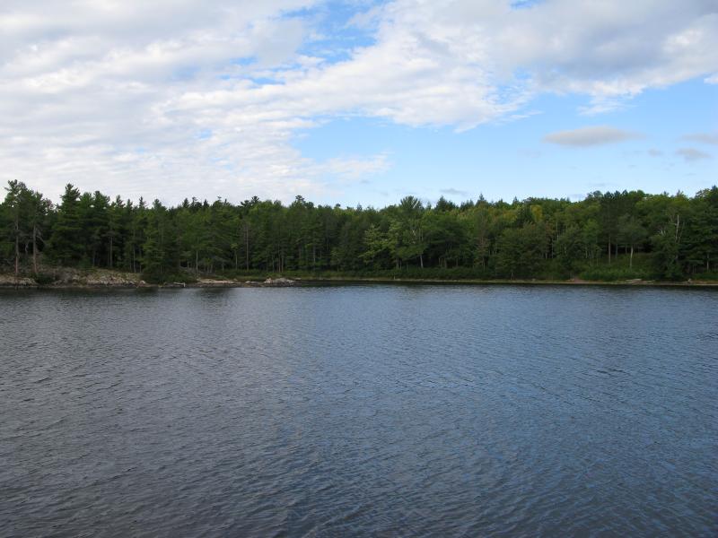
Harlow Creek empties out of the southeast end of Echo Lake. The shoreline here is sensible: flat, marshy, and only a few mild outcroppings to clamber around. It was nice to be off the steep rocky paths and to be strolling alongside the lake, even if I had to step over a few logs and watch my step on slick spots.
Shoreline near the Harlow Creek outlet
Once I passed the outlet (which was more swampy than interesting) it was an easy stroll through sloped woods back to the clearing. There were a few footpaths to chose from, some close to the water, some further up into the woods, and I wandered between them. Plenty of people must choose the southern shoreline over the well-trod northern paths. Whether they are drawn to the elevated ponds, the open views, or just looking for something more wild than the wide footpaths, it was nice to know that I wasn't the only one who veered off the main path every once in a while.
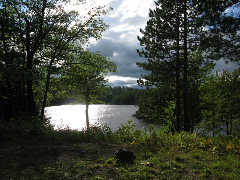
Evening sun over the lake
-
Jacob Emerick
Dec 10, '13
There may be taller cliffs out there (Ahmeek, etc)... but rising straight out of a lake? Pretty awesome.
Add to this discussion-
Jacob Emerick
Jan 3, '16
Thanks Andrew! Hope you have a great time at Echo Lake when you get out that way.
Add to this discussion