Wetmore Hike Part C - Hogsback Mountain
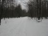
The sound of crashing waves slowly died away as I headed inland away from Wetmore Beach. Taking the parking lot route out to County Road 550, I was unsure of how I would make it to Hogsback Mountain until I noticed a small two-track across the road from Wetmore's parking lot. It was marked as part of the Harlow Trails. I took my chances in headed westwards along the trail, inland, hoping to find my next climb.
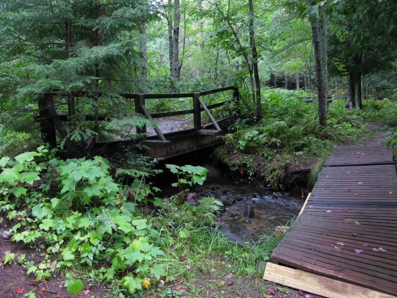
Two bridges along the Harlow trail
The two-track started out wide enough for a small truck but quickly narrowed down after a few fallen trees blocked the path. It crossed a creek flowing into Harlow Lake with two separate bridges, both in disrepair. I was not paying attention to my direction, mostly looking around and enjoying the woods, and found myself heading northwards away from the mountain by the time the trail met up with an old railroad grade.
While the northward trend had taken me away from a direct path to the mountain I wasn't too far from my destination. I headed south down the railroad grade past a tiny waterfall along the straight and narrow path for a good distance. There is at least one trail that leads up Hogsback Mountain and I hoped to bump into it along the grade and take it uphill. I almost missed it at first, carried away by my quick pace and the easy trail, but doubled back and headed westwards again through a pleasant pine forest.
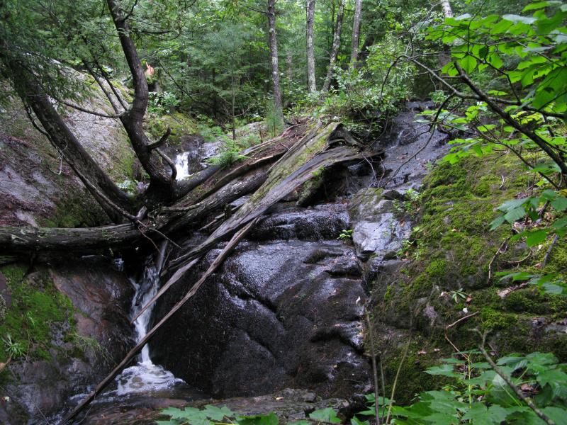
Small waterfall along the grade
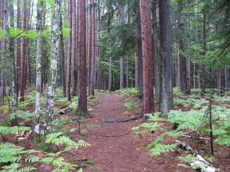
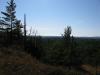
Wide pine trail up Hogsback Mountain
I'm not sure if the trail was more difficult then my earlier Sugarloaf climb or if I was just tiring (in my defense, I had a very small breakfast that morning), but I had to stop several times while hiking up Hogsback. The trail was not as well marked or traveled and I had to stop and re-orientate myself several times. When I finally reached some of the upper outcroppings, the rain-slick rock forced me to crawl up on all fours to the peak. The scenery was pleasant enough for this hike, but it was more difficult than I was prepared to deal with.
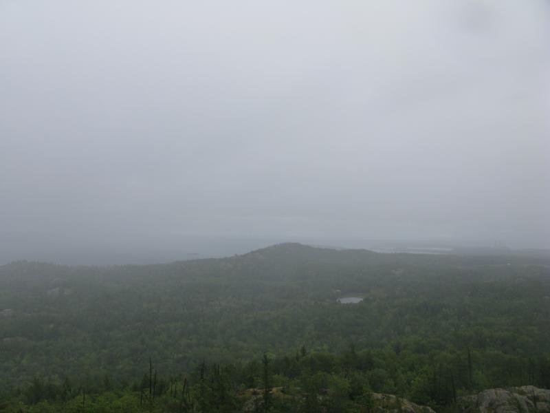
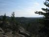
The earlier clouds and light drizzle had intensified during my climb. Gone were the brief clearings and far-off sun rays I had seen from the shoreline, and in their place a bitter wind and snow flakes chilled my face. The views from Hogsback were comparable to Sugarloaf, with a few good westwards vantage points, but the low visibility and cool temperatures rushed the visit. After taking photos from the different outcroppings on the peak I headed back downhill.
Looking east to Sugarloaf from Hogsback Mountain

Looking west from Hogsback Mountain
On the hike downhill I bumped into a well-traveled path marked with famaliar blue blazes. I happily trotted down out of the cold wind along the easy path. Most of my hike was now done, especially the climbing portion, and I looked forward to a level stroll along Wetmore Pond and a warm car full of food. However, the area had other plans for me...
Comments (0)