A Snowy Hike along Erick's Road
For the past four years I've hiked the mountains east of Big Erick's bridge during the snowy months. This annual pilgrimage started with a hike up Bald Mountain with Cory back in 2009 that was shrouded in a thick February blizzard. Sometimes I stick close to this mountain while other hikes stretch as far as east Mount Benison, long trudges through the deep snow over windswept bluffs. I never ventured south of Erick's road, though. Epic views of Lake Superior always dragged me northwards, away from the humble south-facing outcroppings and rugged southwest shoreline of Cliff Lake. This year I decided to try my luck on this different path.
My drive was a long and cold one. I've been having wretched luck this winter with my tiny Ion, most likely due to over-worn tires. An exhale of relief left me when I finally saw Huron River and knew my drive was almost over. There are a few cabins way back on Erick's Road, nestled along Little Huron River, and they usually do a good job plowing out the roads back here. Two twists down the road and I realized it wouldn't be enough. My little car was barely spinning over the small rises of the old logging road.
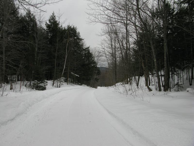
Narrow snowy Erick's Road
Leaving the Ion parked back at the first fork, right off the Northwestern Road, I shouldered my gear and started walking down the road. This kinda sucked. The road wasn't hard to walk on - compared to the snowmobile trails or the deep snow surrounding to the sides - but three miles one-way was a tedious undertaking. I tried to walk fast and focus on the woodland hike to come.
It was tough to pass by the paths to Bald Mountain and that one-unnamed-peak (just southeast of Bald). When I did finally bump into a two-track leading south, just past the main (unplowed) road that heads north along Little Huron River, I wasted no time checking my bearings and quickly leaped over the bank. Underneath a few inches of fluff was a solid crusty foot or two of snow that had been packed solid by a few snowmobiles. With the exception of a few broken steps I was able to keep atop of the snow as I made my way up the south rise.
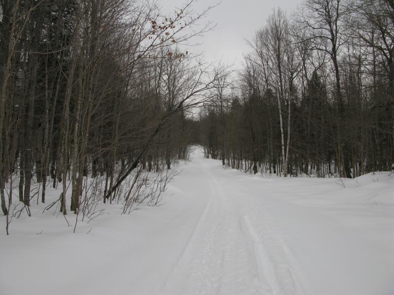
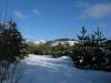
Tracks on a road leading south
There were a few destinations that I was aiming for today. A gnarly set of outcroppings on the south side of Erick's Road offered a few views south, probably limited to a narrow swamp below and out a few miles along the Northwestern Road. The peak and ridge running west from Cliff Lake had a few west-facing bluffs towards Tick Mountain. A more ambitious goal was almost on the other side of Cliff Lake, close to Forty-Foot Falls, a small outcropping that I have pegged as a possible camping site for the upcoming spring. I had just passed by the gnarly outcroppings while I walked on the road, planning on hitting it up on the way back, and was now aiming for the peak off of Cliff Lake. This snowmobile track could lead me within an easy half mile from the main bluff.
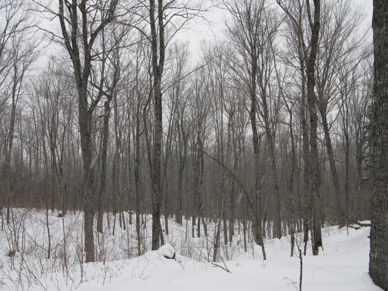
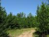
The track led south then east into a few acres of pine trees. These artifical plantings always seem weird to me. You bump into them in the most random locations. Sure, there are some vast stretches on the Sands, Yellow Dog, or even around Boise Creek. The spooky ones are the groups in the middle of a tall, normal forest, like the ones around Bald Mountain or over by Holyoke Trail. When you're walking through towering, almost open hardwoods and step into ten-foot-tall bushy crowds of pines so congested that you can't see more than a few yards off the trail. Snow collects between the trees making them feel even more dense. I meekly walked through them, more alert than normal, waiting for an explosive grouse or a startled deer to burst out and scare the life half out of me.
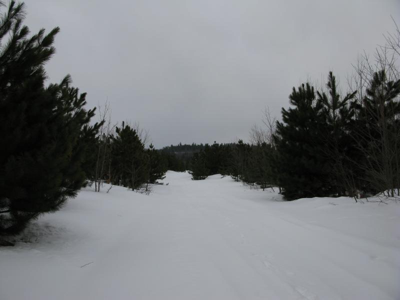
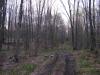
Rise beyond the planted forest
Nothing disturbed my walk, though. As I made my way through the pines a small rise beckoned to me on the far side. It was intriguing even though I couldn't tell if there was an open bluff or not from below. After almost two hours of walking along roads and trails this diversion sounded lovely. When I reached the base, just past the managed pines, I cut off the trail with a sketchy plan to continue heading east towards Cliff Lake after I reached the ridge.
The snow was just crisp enough to crunch before my feet sunk through in maybe a foot and a half. With every step forward my shins had to grind forward to cut a path. I didn't notice it at first, focused only on the climb and weaving through the old forest lining the rise. It wasn't until I was near the top, after ploughing and crawling and rolling through deeper sections, that my shins started to protest. When I finally reached the top I did my best to ignore the bruising to check out the view.
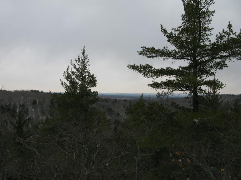
South to the gentle rises
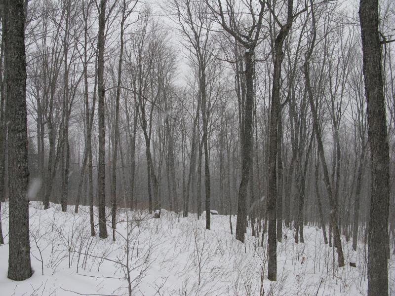
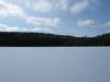
This ridge was about 1200', taller than Bald Mountain, but the views were limited. I could make out a few tall hills far to the south, one that looked suspiciously like Mount Arvon and another with a long horizontal stripe of clear-cutting (could be one of Arvon's shoulders). A nearby rise hid Yellow Dog Plains and anything else to the southeast. It was an okay view but not terribly exciting. After a few pictures I sat heavily on the snow, which was deep enough up here to just lean back, and reviewed my map.
I didn't expect the snow to be this giving. With the recent warm temperatures I had noticed that the snow depth was dropping and I thought that the crust would be able to support my weight. That's how the last few years had gone. All I had to do was wait until March and the snow would be on its way out, leaving a solid surface for me to easily hike atop. Instead it was jabbing me in the shins like an angry kicking toddler. Hiking to Cliff Lake through did not sound appealing. I turned north with the intention of climbing Tick/Cliff Mountain, just north of my position, a shorter but more challenging endpoint.
On the way down the hill I caught a few glimpses of the new destination through the trees. It is really something to marvel at. Almost two separate peaks, with over a hundred feet of height difference and a shallow shoulder between them, Tick Mountain has towering exposed cliffs topped with giant pines that cling precariously to the rocky surface. As I slowly walked downhill towards it, wincing at the constant pummelling on my shins, the snow started to fall. It was light at first, a few swirling flakes, but it thickened quickly. Before five minutes had passed Tick Mountain was completely enveloped in a white shroud and my view was cut down to yards. I stopped and let the quiet woods and sudden blizzard surround me. It was magnificent.
Tick Mountain peering through the trees
The start of the sudden blizzard
There are a lot of reasons why I hike. Sometimes I'm trying to reach a destination, a defined end goal or route that makes for a great story. Other times I just need to get away from things, away from the city, and decompress in the woods. I did have a goal for today, a grand return hike to Cliff Lake, and instead I watched the snow fall. After a slow hour or two of quiet wandering I made it down to the private drive that leads to Cliff Lake and turned back to my car. There was no magnificent journey this time, no climbing of Tick Mountain or views of Mt Benison, just a young guy enjoying the snowy woods.
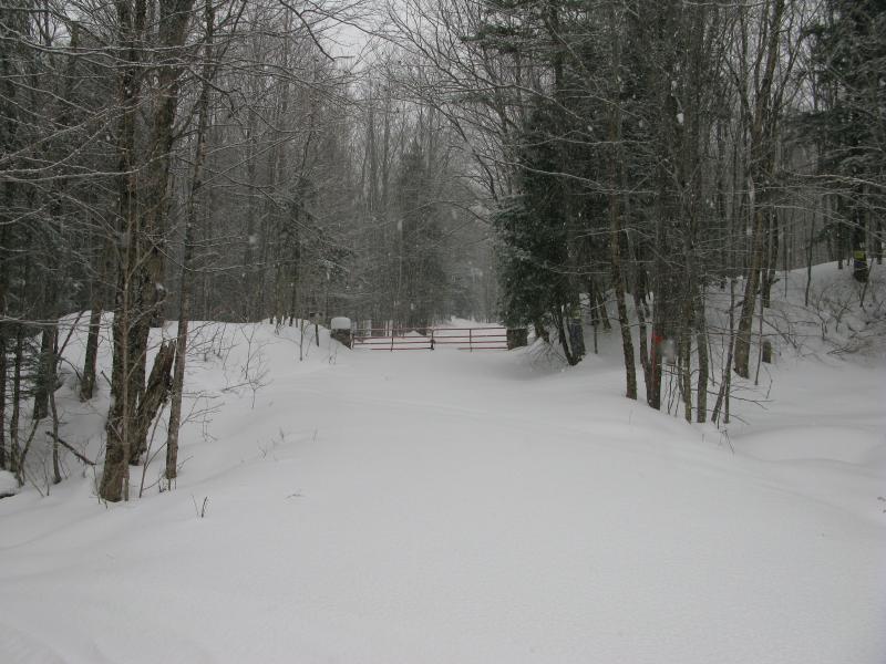
Well marked gate blocking the way to Cliff Lake
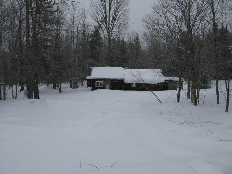
Deep snow over Little Huron Motel
-
Jacob Emerick
Apr 2, '13
Same spot? Where did you end up going? I just climbed up and over the rise, was planning on following the 'ridge' east to Cliff Lake. Didn't realize that the roads over here were so clear, now I understand why some peeps come in to Forty Foot Falls from Erick's Road instead of braving that club's muddy two-tracks up from Northwestern.
Add to this discussion