The Hills of Holyoke
A bent blue gate marked the beginning of my afternoon hike. I had just drove down the confusing Holyoke Trail, northwest of Marquette, and was itching to get started. Stepping around the game I set off north along the two-track, wondering what this hike would have in store for me. I knew there were several unnamed peaks to the north that promised good views of Sugarloaf and Hogback, something I couldn't find on a previous climb of Mount Mathew to the southeast. There was no information about trails or features here, though, so I felt a bit blind as I followed the track first through old hardwoods, then slowly into a managed pine forest.
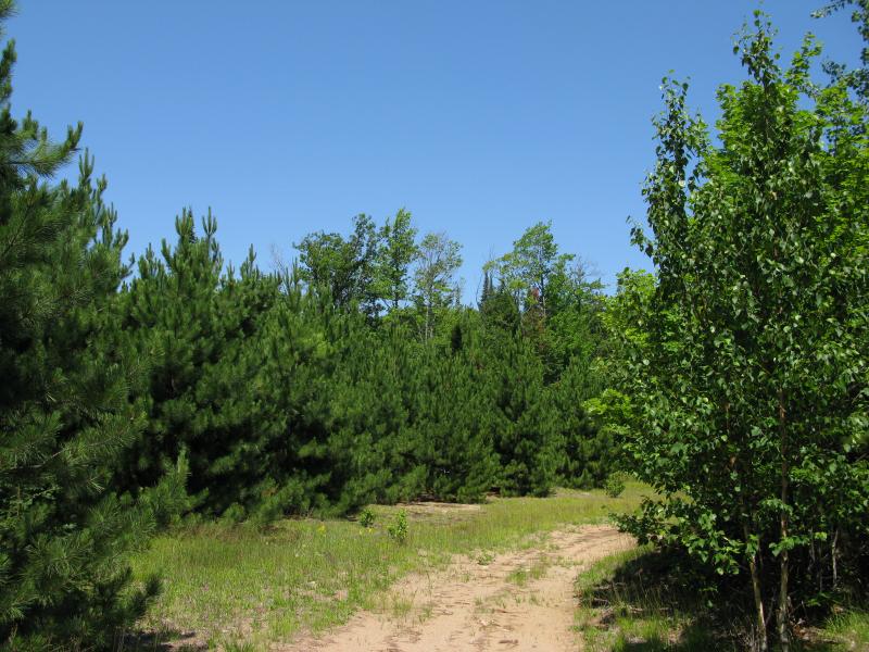
Managed forest west of the hills
Two main hills poked up near the road, just east of the pine forest. Hoping to add a little more variety I added a third destination, a small pond called Harkin Lake. As I passed through the managed forest the trees began to grow taller and the overgrown two-track met a well-maintained bike trail. Not wanting to disrupt any bikers I spent little time on this trail, cutting quickly off into the undergrowth to the north.
Early morning hikes had already taken a lot of wind out of me. When I first bumped into a small outcropping south of Harkin Lake I chose to walk around it first. Part of me was considering climbing the larger hill on the north side of the lake which promised better eastern views. The ground become swampy and brush thicker, marking the beginnings of a nasty shoreline. My route began to zig and zag and it took far too long to reach the lake. When I finally did find a large bare rock that stretched into the lake I stopped in my tracks. Not only did I recognize the hill on the north side of the lake but I was a stone's throw away from a sizable cabin. Pretty sure I was on private land I quickly turned around and headed south.

Next to Harkin Lake
The hill on the north side of Harkin Lake appeared to be the same rocky lump I had spotted on a hike along Wetmore Pond. The shape was similar, and a unique large bush on the eastern side of the peak resembles an eagle's nest. I doubt that an eagle would nest on the ground, even on top of a rocky hill. Recognizing jut how close I was to this earlier hike was a surprise, but seeing that private cabin was a definitive stopping point. Instead I climbed the outcroppings south of Harkin Lake and was greeted with some good views back towards the lake and a glimpse of Hogback Mountain to the east.
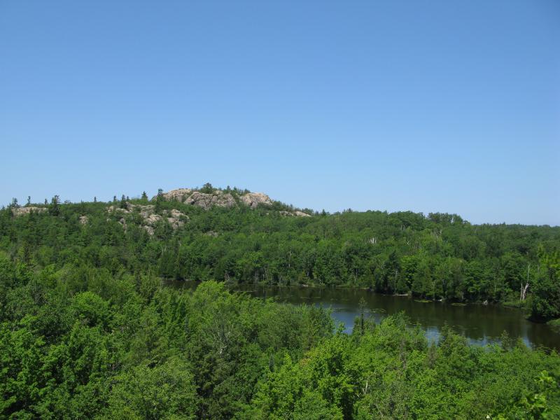
North across Harkin Lake

First view of Hogback Mountain
This minor climb left me rather winded. Thankfully this outcropping was almost level with the bike path and I could avoid any uphill climbing for a bit as I headed further south. My next climb involved the two hills I had passed earlier close to the managed forest. The ground slowly began to steepen after passing the bike path before a sudden wall of rock rose up, covered in wet moss and fallen trees. Following a cut up I plowed onward and upwards, quickly gaining a few hundred feet in elevation before reaching the bald top. The peak was surprisingly bare and offered some great views of my surroundings.
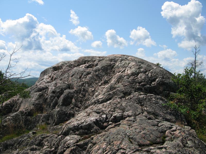
Smooth bare peak of the little hill
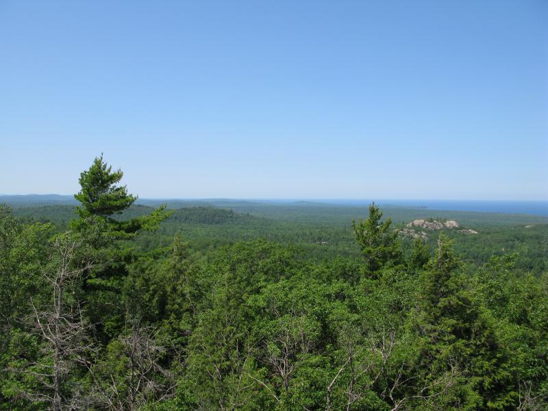
Looking north along the Lake Superior shoreline
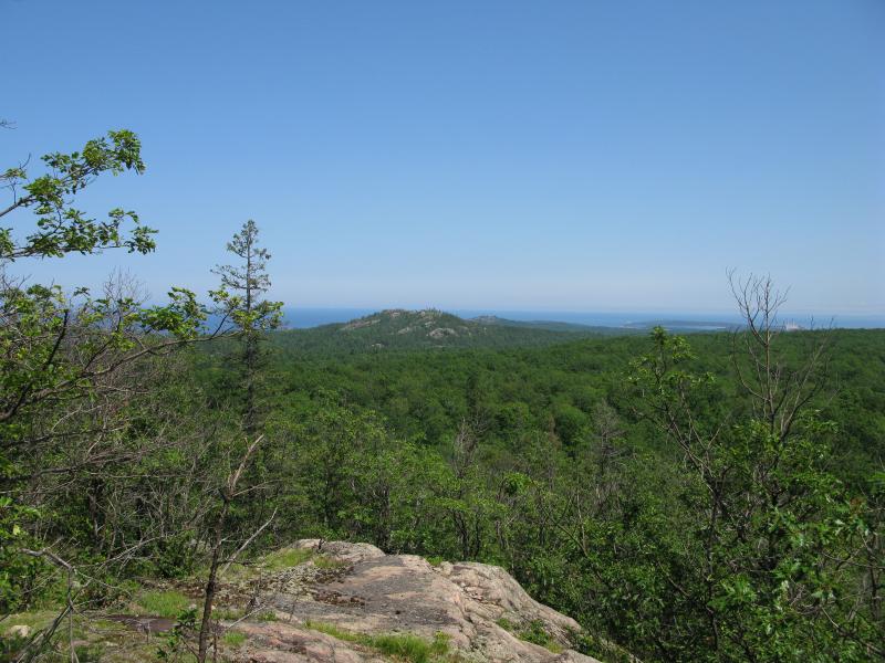
Sugarloaf and Hogback Mountains aligned
To the north I could just barely make out Garlic Mountain and Saux Head, but the view eastwards was a bit more surprising. Little Presque Isle was hidden by the hills around Harlow Lake and Sugarloaf was almost completely encompassed by Hogback Mountain. I had somehow picked the right mountain and position to align these two mountains and block a good chuck of my view! Nevertheless, I was still happy with the way the hike turned out. Too tired to climb the second hill and pretty sure the view would also be blocked I headed down the mountain and through the pines back to my car. With the exception of the cabin on Harkin Lake this hike is a short and relatively easy hike with a lot less activity than the Wetmore area to the east.


Comments (0)