Viewing posts about County Road 510.

Thomas Rock of Big Bay
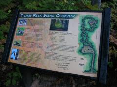
Friendly sign outlining the paths

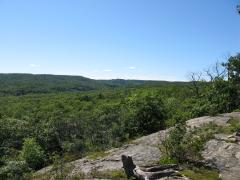
A few short miles south of Big Bay is an exposed overlook with a great view of Lake Independence and Superior beyond. Once an off-road destination for ATVs and people willing to walk in from County Road 510, Gobbler's Knob was purchased by the Thomas Family a few years ago and underwent a major…
  • Category Hiking
  • Posted October 3, 2013
  • read more

The Pup Creek Loop

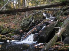
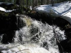
Splashing sideways cascade

Big Pup and Little Pup Creek are two fairly typical creeks in the Huron Mountains. Little Pup, the smaller of the two, starts right above the hairpin curve on County Road 510 and is only a few miles in length. Big Pup Creek is much more ambitious, almost twice as long and stretching far west towards…

  • Category Hiking
  • Posted May 8, 2013
  • read more

Panorama Hills - Eastern Peaks

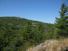
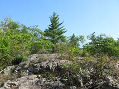
Lonely pine on the peak

As the Panorama Hills head east to the lake, away from the lofty Yellow Dog Plains, they lose much of their commanding height. The tallest of the eastern peaks is just a bit above 1100, fairly low in comparison to the surrounding area. After visiting the taller central and western hills I was still…

  • Category Hiking
  • Posted August 20, 2012
  • read more

Panorama Hills - Western Peaks

Far up the river, looking at Yellow Dog Plains

A year had passed since I first found the Panorama Hills, located off of County Road 510 just north of the Yellow Dog Falls. My initial visit was a brief excursion, mostly exploratory in nature. I was more ambitious this time around with plans to hit up the far western peaks.

Parking once again…

  • Category Hiking
  • Posted August 17, 2012
  • read more

Panorama Hills - The First Visit

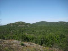
Random outcroppings on the green hills

Finding good hikes in the Upper Peninsula of Michigan is not always easy. I prefer to stick to remote areas that, by their very nature, don't get a lot of traffic. Reading history articles or essays can sometimes uncover mentions of interesting features worth exploring, and it was while researching…

  • Category Hiking
  • Posted August 14, 2012
  • read more

Northern Boise Creek Valley Explorations

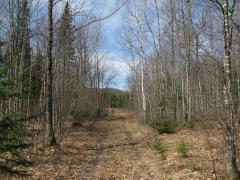
Bare trees and lonely tracks in Boise Creek Valley

Boise Creek Valley is an awkward, sand-filled depression just north of the Dead River Basin. There are four main creeks that flow through the valley: Clark Creek flows in from the highlands to the west, Wilson Creek seeps along the towering eastern cliffs, Deer Creek drains a large swamp to the…

  • Category Hiking
  • Posted June 14, 2012
  • read more

Western Alder Hill

Many outcroppings on the south face

Both Alder Hills are located in a prime area for promising views. Being near the northeast corner of the Huron Mountains lends potential for vistas of Big Bay and Lake Independence with enough elevation to glimpse the edge of the Yellow Dog Plains. One could easily expect grand views and…

  • Category Hiking
  • Posted May 16, 2012
  • read more

Yellow Dog River

Bulldog Falls in the McCormick Tract

The Yellow Dog River has recently gained media attention as one of the two waterways endangered by the proposed Eagle Project sulfide mine. This mine would be located on the Yellow Dog Plains near the headwaters of the Salmon Trout River and Yellow Dog River, potentially threatening two pristine…

  • Category Hiking
  • Posted June 8, 2009
  • read more

Activity Stream

  • Read 'Salem's Lot by Stephen King.
  • Read Elantris (Elantris, #1) by Brandon Sanderson.
  • Read It by Stephen King.
  • Read Mistborn Trilogy (Mistborn, #1-3) by Brandon Sanderson.
  • Read Tress of the Emerald Sea by Brandon Sanderson.
View more activities…