Panorama Hills - Western Peaks
A year had passed since I first found the Panorama Hills, located off of County Road 510 just north of the Yellow Dog Falls. My initial visit was a brief excursion, mostly exploratory in nature. I was more ambitious this time around with plans to hit up the far western peaks.
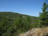
Far up the river, looking at Yellow Dog Plains
Parking once again at the Lost Creek two-track, I retraced my path north up the overgrown two-track until the sloped outcropping rose up to the west. I figured that this slope would be an easy way to gain some elevation. During my first visit I rarely got above 1200 feet on the different peaks. As the outcroppings of the Panorama Hills move west they start climbing up quickly in elevation to meet the Yellow Dog Plains, with a few of rock faces more east-facing slopes than defined peaks (like the one I was currently climbing). To meet the 1400 feet of some of these spots I decided to start climbing right away.
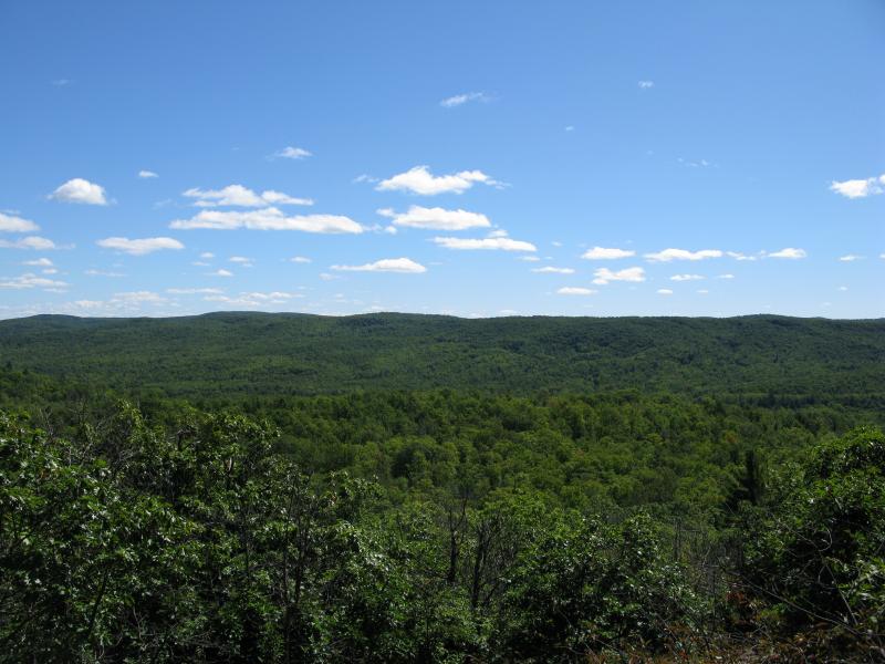
Where I turned south on my last hike here I continued west, steadily gaining elevation. I stopped briefly a few times to catch my breath and check out the view but there was nothing new to see yet. The climb was staggered in terms of elevation with a few hundred yards of scrubby forest interrupted by a steep by short rock outcropping, each view looking similar to the last. When I finally hit the height I was aiming for the change of perspective was shocking.
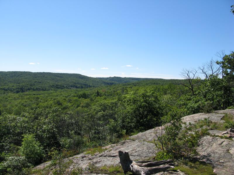
Deep green valley of the Yellow Dog River
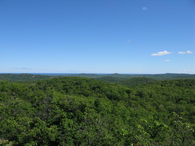
Lake Superior in the far east
Lake Superior was visible in the far distance! I knew that I had gained a decent bit of elevation, but I didn't think that I'd be able to see the lake this far inland, especially with all of the hills between me and the shore. A luring dark blue line peeping out between the peaks, just seeing the cool water made the hot day that much more unbearable. I gulped down the rest of my water, checked out the view to the south (I couldn't make out the Yellow Dog, but some dark trees showed it's path far below), and started veering south to a lower peak.
As I wandered through the woods downhill, I started wondering about the higher elevations south, beyond the Yellow Dog River. I did not make out any outcroppings in the green forest, but north-facing slopes are very rare in the Upper Peninsula. As excited as I was about seeing Lake Superior from 1400 feet up there are spots over there that reach 1600, and that kind of view might give a quite a view. While I pondered what the highlands around Boise Creek might hold for a future hike I came out on a large, flat south-facing bluff that gave me a great view of the Yellow Dog River valley.
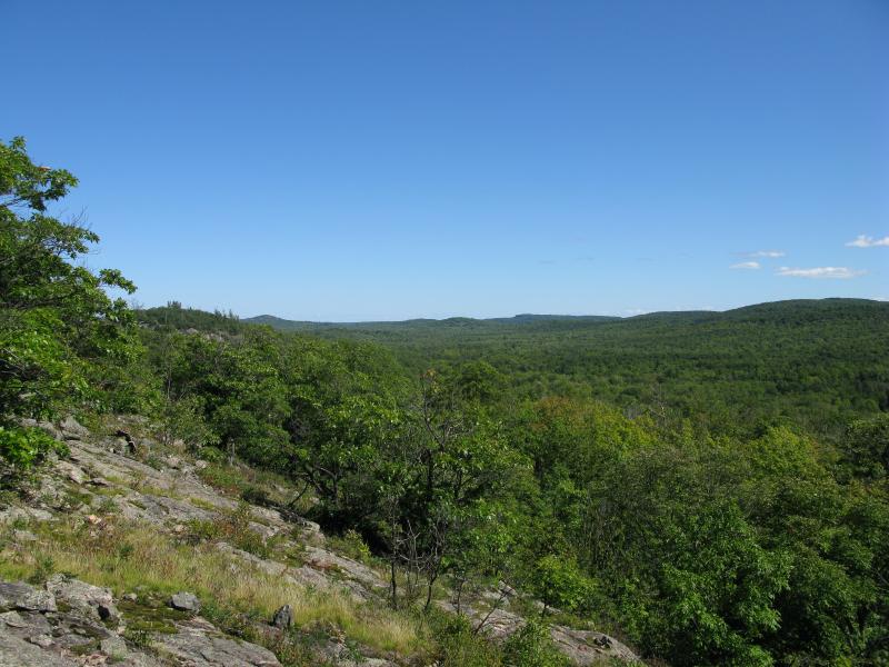
Yellow Dog River valley, looking downriver
This bluff marked the southernmost hill, and while it was tempting to continue south to the river I decided to call it here. First east, then back north on a series of overgrown logging roads took me back to my car. This was my second hike in the Panorama Hills, and now I only had one area left to explore - the eastern hills.
Comments (0)