Panorama Hills - The First Visit
Finding good hikes in the Upper Peninsula of Michigan is not always easy. I prefer to stick to remote areas that, by their very nature, don't get a lot of traffic. Reading history articles or essays can sometimes uncover mentions of interesting features worth exploring, and it was while researching Blind 35 that I first heard of the Panorama Hills. I couldn't find any markings on a map or specific description of the hills, but knowing that County Road 510 (the old route of 35) cuts through them and assuming that there would be several open vistas I made a educated guess on the location of the Panorama Hills - a large grouping of a dozen hills northwest of the Yellow Dog Falls.
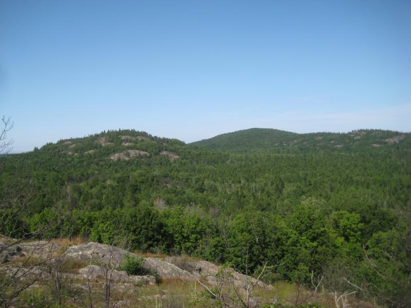
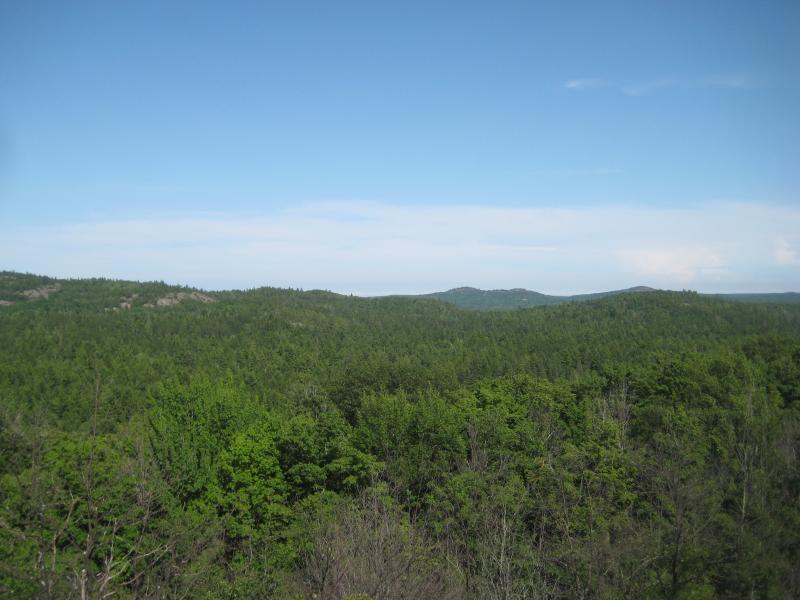
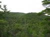
Random outcroppings on the green hills
Before attempting to climb all dozen or so peaks I decided to scout out the area a bit. While the topographic maps and satellite imagery looked promising I was still a bit skeptical. There is no real mention of outcroppings near the Yellow Dog and I had not seen anything suspicious on previous visits to the falls. After a tough morning hike I parked off of a two-track near Lost Creek and headed north. Without a real plan in place I followed the road for a few hundred yards before noticing a clearing in the woods to my left. A solid outcropping rose up from the forest floor and climbed at a steady angle to the west and I took the hint and started the first climb.
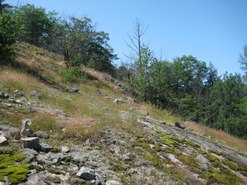
Angled rocky slope leading up west
It didn't take long for me to gain enough elevation for a good view. The most prominent peak lay directly to the east and had multiple outcroppings poking through the green woods. This hill appears to be private, though, complete with a small cabin at the very top. A few interesting hills lay to the south and were partially obscured, so I continued climbing higher and veering to the south flank of this hill to check them out.
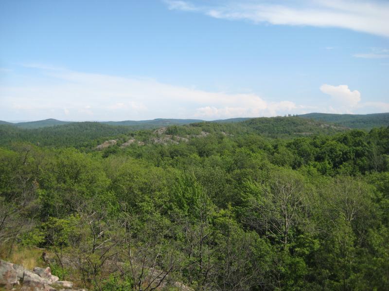
Looking south along the central valley
Lost Creek bends east and crosses under County Road 510 before emptying into the Yellow Dog River. There is a narrow valley directly south of this bend, stretching almost a mile to the river and surrounded by rocky hills. I was now at the north end of this valley, looking south, and it was obvious that these were the Panorama Hills. To the southeast several rugged peaks poked up, and beyond that, along the Yellow Dog, more outcroppings lay scattered to the east. Excited to see more, I headed south into the valley planning on climbing at least one more hill.
Deciding to stick to the western side of the valley I curved my route to avoid losing too much elevation. Crossing a tiny stream and finding a random overgrown four-wheeler path, my route took a bit longer than I expected but did lead me back up the next hill. This hill gave me even better vistas and I could make out even more outcroppings to the east as well as some to the south and west. I was starting to realize that maybe all the hills in this area held a view, and I was not prepared to climb a dozen peaks on this sunny afternoon.
Bright sun and deep green upriver
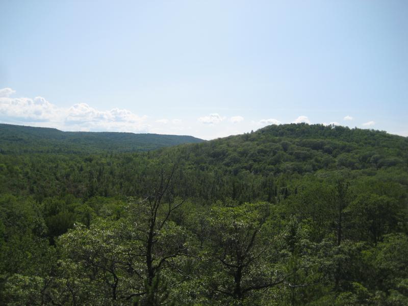
More rocky hills to the far east
I climbed down the slope into the center valley. A small part of me wanted to continue on, so I did attempt to climb the hills on the east side of the valley (located between me and County Road 510) but was deterred from an aggressive slope. Instead I tumbled down to my car, happy with the exploratory trip. I had wanted to find out more about the Panorama Hills, and I had. Now I had a good lay of the land and my next visit would be a much more educated and comprehensive hike around the hills.
Comments (0)