Panorama Hills - Eastern Peaks
As the Panorama Hills head east to the lake, away from the lofty Yellow Dog Plains, they lose much of their commanding height. The tallest of the eastern peaks is just a bit above 1100, fairly low in comparison to the surrounding area. After visiting the taller central and western hills I was still quite hopeful to get some good views here being so close to the lake. I parked at the familiar spot for the Yellow Dog Falls and walked up County Road 510, cutting to the right at a random point to start my climb.
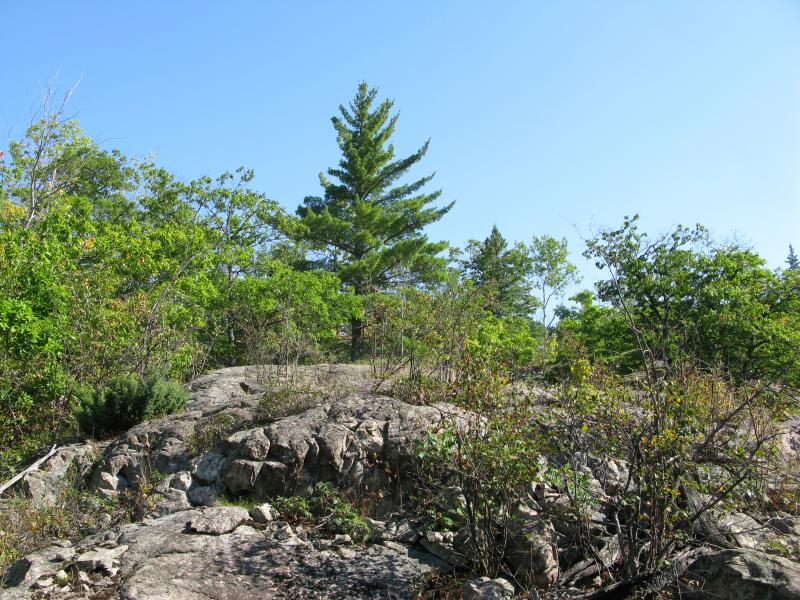
Lonely pine on the peak
My first peak was located very close to the road and it took no time at all to get on top. There was only one obstructed view west, back to some of my earlier climbs, but I was hoping for something much more impressive and quickly continued on to the north up a crumbly ridge. The ground was difficult to walk on, frequently giving way underfoot, but the northern views were quite better.
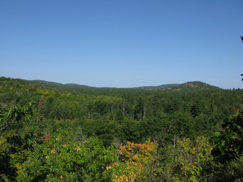
Rocky hills north towards Alder Hills
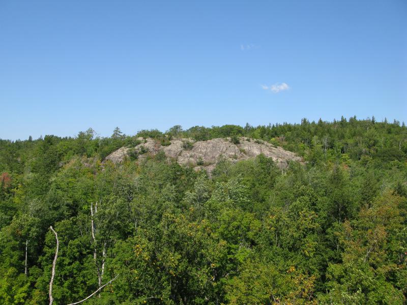
While these set of hills were shorter in stature, there were quite a few of them and I was planning to hit up as many as possible. Even after the limited views I got from the first peak I steadily continued on my route, heading north down to Lost Creek and back up the next Panorama Hill. I had caught a single glimpse of this ridge before, scattered with tall pines, and I was looking forward to scaling the broken rock. The climb was rewarding but the view was limited with the south cluttered by short hills and no eastern views.

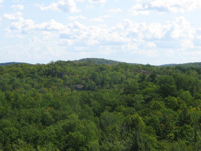
Thick wooded hills from the crumbling ridge
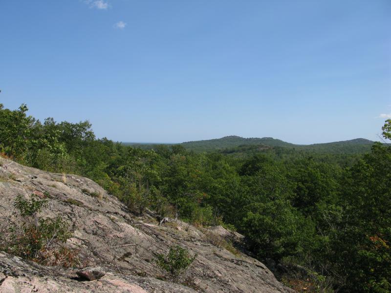
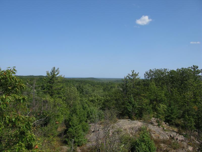
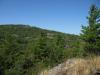
Though it was tempting to circle around to the north on this hill to catch a view of Turtle Pond below I strongly doubted it would be visible (thanks to elusive north-facing views), so I turned and headed east to the next hill. The valley was shallow and, aided by a logging road, I soon found outcroppings with excellent views to the south and east. This was by far one of the least obstructed spots on today's adventure. I took my time on this bluff, admiring the view and catching my breath after the relatively quick hike this morning.
Short scruffy ridge near the Yellow Dog River
More hills to the east, stretching along the river
Descending the bluff was not very easy. I spent most of it sliding very slowly backwards down, occasionally inching a bit left or right to follow a crack. A short jaunt east took me to the last hill, a scruffy ridge nestled in one of the crooks of the Yellow Dog River. This hill was much steeper but also seemed more visited than the other ones, with several cairns and the making of a rock-wall fort on the western edge. I walked along the ridge to the east, getting a few good views back at the bluff I came from and also further to the east along the river.
Looking back at the eastern bluff
Looking east along the scruffy ridge
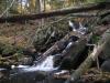
I headed down to the river next to check out some of the falls on the river. The Panorama Hills were done for now. There were a few peaks I had not visited, some in the middle and a long ridge further to the east, but I was happy with how many I had explored. Several of them had lived up to their name with unobstructed, panoramic views of the surrounding wilds. I do wonder when they were named (before or after they started logging the area in the 19th century), but even with some of the taller trees the outcroppings were well worth the hike.
Comments (0)