Dripping Springs Loop: Red Tanks Divide
Cool morning temps and comfortable campsites led to a late start from Reed's Water. The sun was up, hiding behind the eastern ridges, before Chris and I even got out of our sleeping bags and began to move around. Plus we wanted to filter water and get back to full water capacity while we had the clear, clean water to pull from the well beneath the windmill. When we finally started down the trail, over an hour after the sunrise, the temperatures were already climbing. Perhaps an earlier start would have been smart.
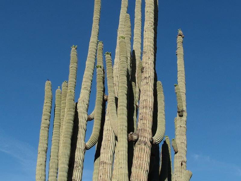
Massive cactus near Reed's Water
We had a lot of ground to cover today if we kept to the original plan. There was two miles left to go before Dripping Springs, and then four miles over Red Tanks Divide, and then another two miles up the Hoolie Bacon, and then a cross-country hack over to the shoulder of Tortilla Mountain. And then, maybe, an off-trail ascent up the mountain itself. Altogether this was about twelve miles of varying difficulty. If we averaged the same pace as yesterday this should be doable, even with breaks, though we were worried about the high temperatures.
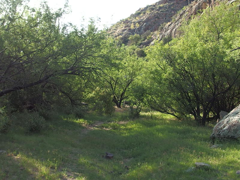
Lots of green along Randolph Canyon
For now all we had to worry about was reaching Dripping Springs. I convinced Chris that this would be a good place to stop for breakfast so we followed one of my favorite backpacking traditions: pack up morning camp, cover some miles, and then stop for a quick breakfast. Even if it meant leaving the clean Reed's Water behind and venturing towards a source unknown quality. Or quantity. At least our surroundings were nice and lush as we approached Randolph Canyon and started upstream.
This section of Randolph is privately owned and actively ranched. We had passed through a serious-looking gate after leaving Reed's and were directed upstream by a pleasant wooden plaque, one that was far too nice for a wilderness. Last time I hiked this area I had been confused by the criss-crossing of cow paths and trail, though this time it seemed simple enough. The trail meandered through thick green trees, jumped through the rocky wash a few times, and was well-marked with cairns along the way. It seemed to take no time at all before we were back at another gate, the one on the east side of the private ranching land, and were re-entering the Superstition Wilderness.
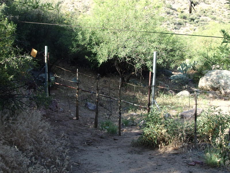
Gate between wilderness and ranch
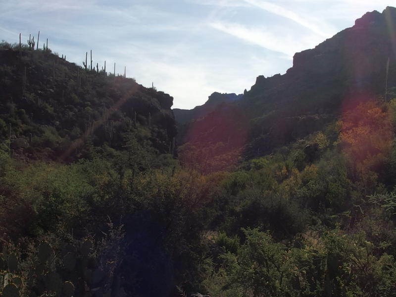
Hot morning sun over Randolph Canyon
As the hot sun beat down on us our pace began to slow. Chris mentioned stopping for a break and I convinced him to keep going. If we could just make it to the springs then we could have a decent stop, make some oatmeal and coffee, and fill up on water capacity. We would need a good break and full stomachs before starting up Red Tanks Trail, which is a long climb with a lot of exposure. It was during this leg that doubts began to creep in. Were we really going to be able to get beyond the Hoolie Bacon today? I pushed them aside for now, figuring we could make a decision once we reached the Divide, and then we were at our trail junction.
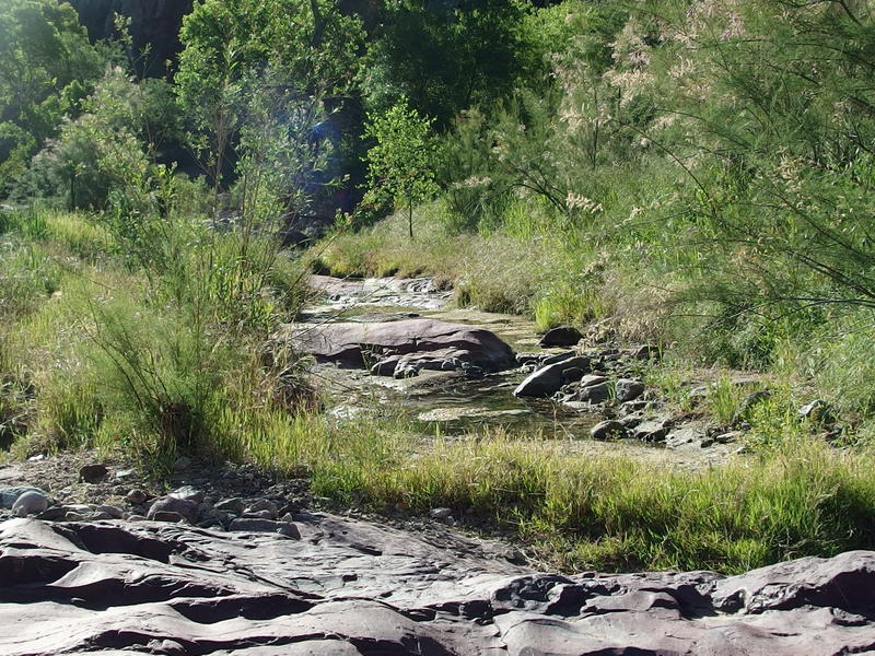
A few pools of water at the junction of Red Tanks and Coffee Flat Trail
We must have passed right by Dripping Springs, which is located on the opposite side of the wash from the trail, and simply bumped into the junction of Red Tanks Divide and Coffee Flat Trail. Which is also where Randolph Canyon and Fraser Canyon first meet. As I hoped, there was water flowing down Randolph Canyon, some pools with green floaties and others with thick algea around the edges. We chose one that looked okay and set up shop, boiling water and prepping for breakfast. I was using solid fuel on this trip, something I'm trying out in an attempt to cut some weight, and it took a few matches to light and didn't even bring my water to a boil. Not sure if the saved ounces is worth the extra effort compared to the ease of a propane stove, especially if it postpones my morning coffee.
After my lukewarm coffee and half-made oatmeal was down, plus as much water as I could drink in one sitting, I headed back alone down the trail to find Dripping Springs. I've heard that this is a reliable source of water and wanted to track it down while we had some time. It took a little bit of hacking, pushing through thick overgrowth and hopping over boulders, but I found a damp wall with dripping water that fit the description. There was a large pool in the canyon below, protected from the hot sun by a huge sycamore tree, though I'm not sure if its sandy bottom would keep year-round. So I suppose you could collect drips from the wall here, but the pools of water in Randolph were much more accessible and only a short distance from here.
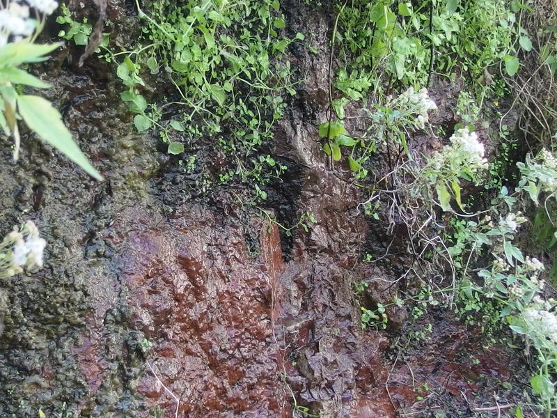
Water seeping out at Dripping Springs
I returned to Chris, who had just finished topping off his water, and we got ready to head up. I was a bit apprehensive at this point. My water capacity was two liters and we had four miles until the next source. Four hard miles. If we took too long, under this hot midday sun, it wasn't a stretch to imagine me running out. Chris had a six liter capacity. Guess if I really had to I could try to fight him for some water.
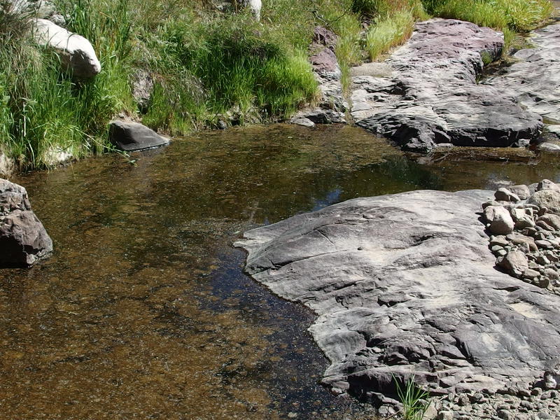
Questionable water source upstream in Randolph
We headed north up Red Tanks Trail, which climbs a bit before crossing over Randolph Canyon. Randolph heads east from here towards Woodbury and we were now in Red Tanks Canyon, which climbs north to Red Tanks Divide. Names, right? We had about a thousand feet to slowly climb, ignoring the inevitable up-downs, before crossing over the divide and entering the Upper La Barge area. I hopped over the stinking brown waters in Randolph near the trail crossing before hauling up the first good climb of the day, a hundred feet or so up to a saddle overlooking the canyon.
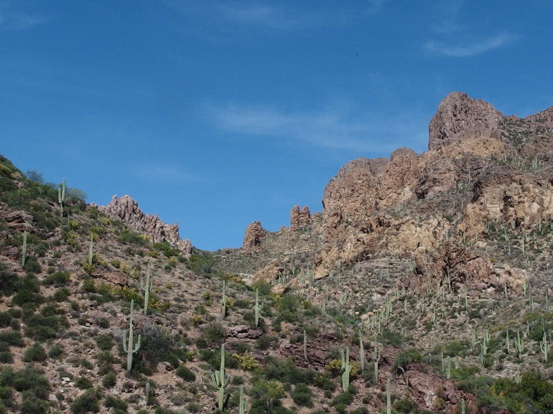
Towering rock formations on Coffee Flat Mountain
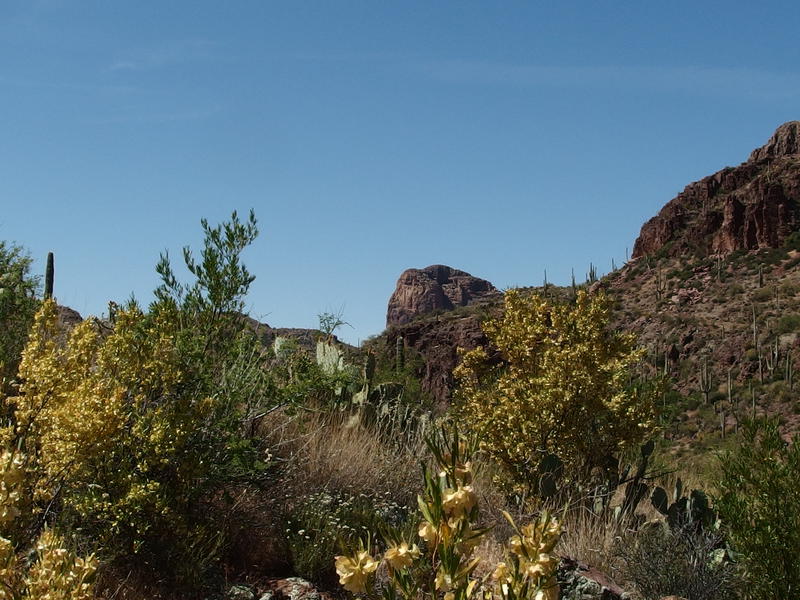
Thick crops of flowering brush along the trail
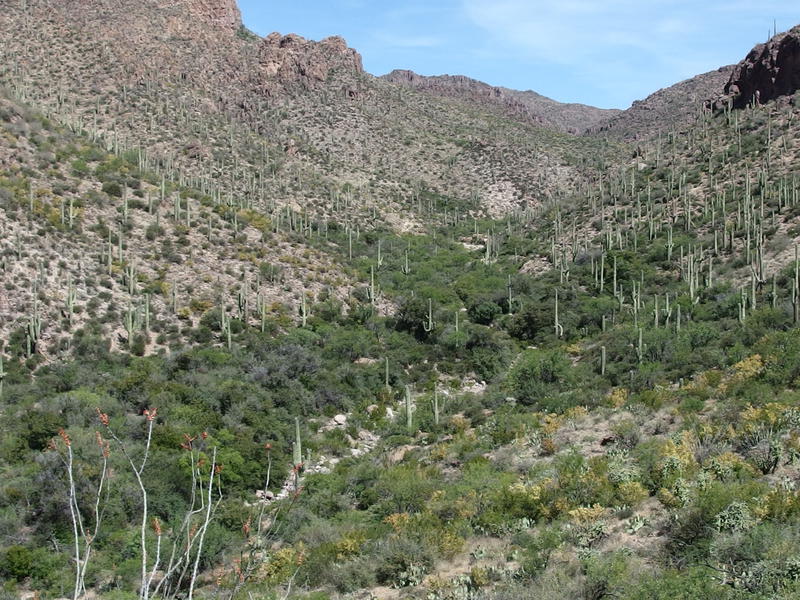
Green growth following the wash upstream
It took Chris some time to catch up so I looked around in the meantime. This side of Coffee Flat Mountain was pretty impressive, more rugged and sculpted then the straight ridge we had seen coming in last night. It also looked more accessible, though I had no interest in tempting it today. To the south and east was nothing identifiable, too many nearby hills blocking good views, though I hoped that La Barge and Iron Mountain would be visible at some point today.
Once Chris reached the saddle we rested here a bit longer, chatting up a bit, before pushing on. It was stupid hot out and there wasn't much of a breeze within this canyon, which exacerbated this first small climb and slowed us down. And, of course, the path dipped here and danced along the side of the wash for a while, jumping along the bank for some time and diving into some wonderfully thick brush.
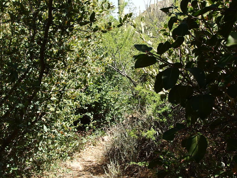
Tight trail up Red Tanks
I had glimpsed a few pools of water in the wash below, so I told Chris I was going to sneak ahead and hunt for something worth filtering from. After some poking around I found a large, murky pool that looked... Okay. I polished off the last of my water from Dripping Springs and filled up here. We were only an hour from breakfast, maybe a mile along the trail, but I wasn't about to pass up a chance to water up. Not in this heat.
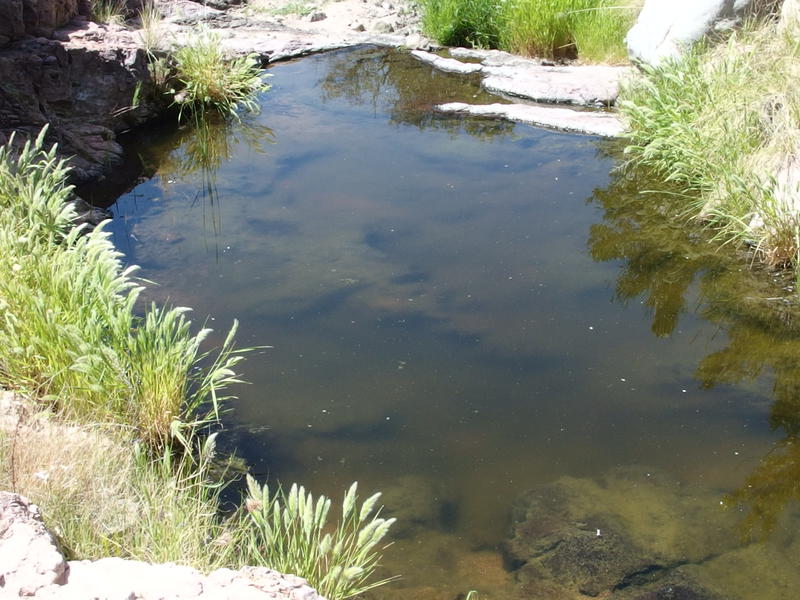
Cloudy pool of water halfway up Red Tanks
While I was filtering water Chris passed me on the trail, leaving me to catch up after I was done. The path crossed the wash and climbed up the western bank, dipping in and out of a few cuts coming down from Coffee Flat. There were large expanses of exposed desert to walk through, overgrown portions of mistletoe and catclaw, and loose rock on the trail to balance on. There was a lot of good views on the way too, but both Chris and I were more distracted with the relentless climb and the overbearing heat.
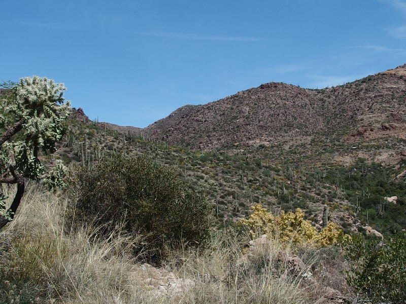
More shrub-covered hills to go
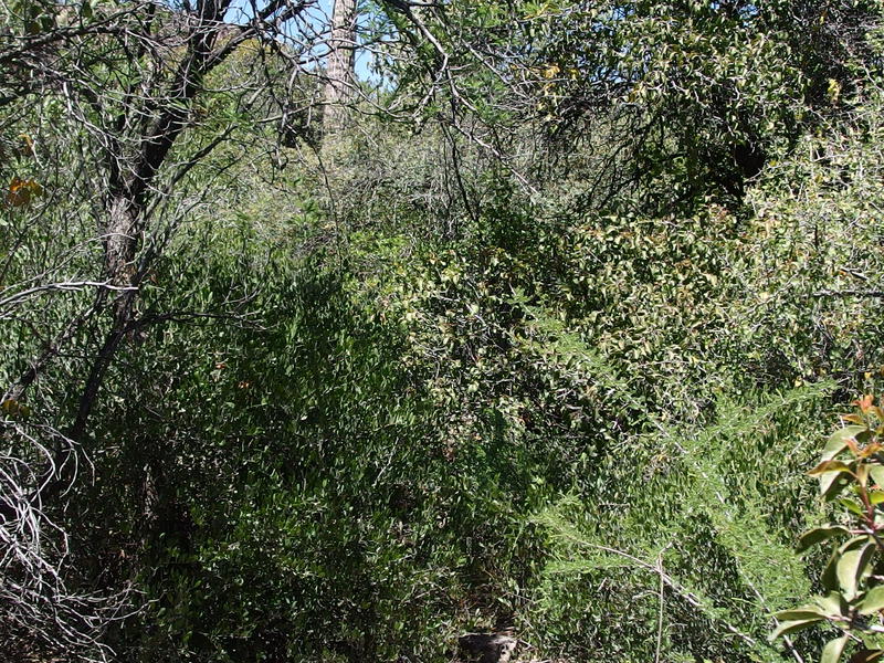
Thicker brush along the trail
Around noon we finally hit the spot where the canyon forked and Red Tanks Divide was (almost) in view. There was another five hundred feet of climb left, a quick five hundred, and then the Divide would be behind us. However, it was also noon. Almost halfway through the day and we weren't even done on this trail. By this point we had hoped to be on the Hoolie Bacon Trail. It was time to revisit that plan.
We laid out the options. I could push on and try to do the full loop alone while Chris kept to a smaller inner loop. We'd meet up tomorrow in the Trap Canyon area and then hike out together. That seemed like the right move until we considered the failure option. If something went wrong and one of us couldn't make it to Trap Canyon we had no way of communicating with each other, nor any way of knowing how long to wait at Trap or when to backtrack. This seemed like a great way to introduce chaos and stress into our trip. Instead, I decided to push on for now, to go at my own pace until the next water source, and then wait for him to catch up. We would come up with a plan then. Plus, this gave me the option to rush on to the water source and not worry about running out.
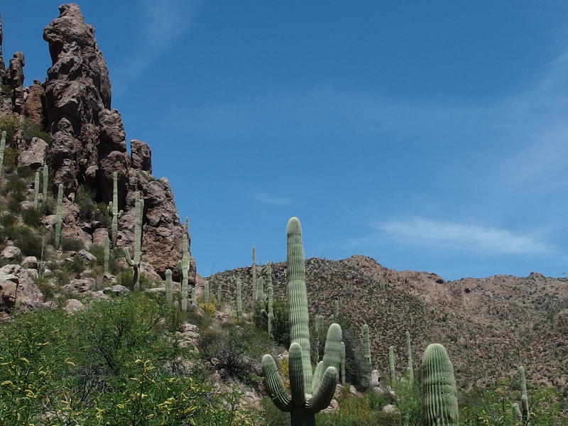
Cactus and rock spires reaching for the heavens
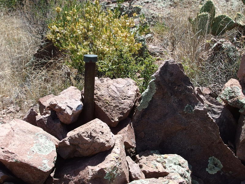
Weird benchmark along the trail
We separated and I cruised ahead, stretching my legs and eating up the trail. I passed by a pool of stinking, fly-covered water under a dry waterfall and a weird benchmark that had no business being out here. There were a few brief overgrown sections, a few scrambles up loose stuff, and too soon I was looking up at the last bit. And then I was up on Red Tanks Divide itself, looking for a place to sit while I drank up and let the sweat dry off me.
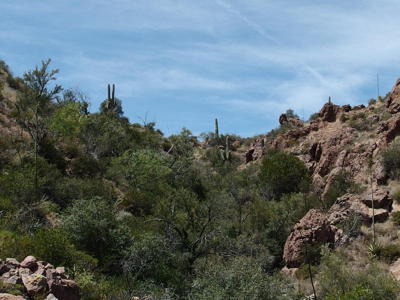
Almost to the actual Red Tanks Divide (saddle)
Now that I had climbed up to the saddle and had a pleasant breeze to cool down I reflected back on the trail up. It is only a few miles from here to Dripping Springs, and even though it's a steady climb and has overgrown section it is not that hard. Harder than the climb up by Miner's Needle, sure, yet probably easier than Fremont Saddle. I've heard bad things about this climb, that it is a tough and unending thing, which it could feel like if you were on a multi-day trip I guess. Now that it was behind me I could look forward to the next part of this hike, the lands of upper La Barge.
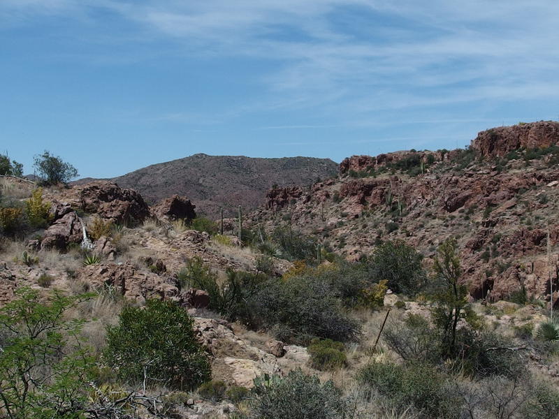
Peering north beyond Red Tanks
For a while the trail played along the side of a rather deep canyon, sometimes dropping down over grassy slopes toward it's bottom, other times staying high up on a hill above. The trail seemed, if anything, less defined here, and I had to do some extra searching to find that next cairn or the direction of the footpath. I had time on my hands so I performed some minor maintenance, pulling downed agave stalks out of the way and rebuilding a cairns in helpful spots. Sure, I wanted to reach water soon, but I had a whole liter on me yet and Brad's Water couldn't be more than a mile away by now.
I was starting to admit that we weren't going to be able to complete our planned route. It would probably take Chris another hour or more to catch up, and he would need a good break before continuing on. We did have buffer, extra time built in to our plan for an easy last day that we could eat into, though I knew we wouldn't use it. We would probably start circling back to the parking lot instead. As I crested a small ridge and got a good view of Tortilla Mountain I looked at it sadly. Another day, perhaps.
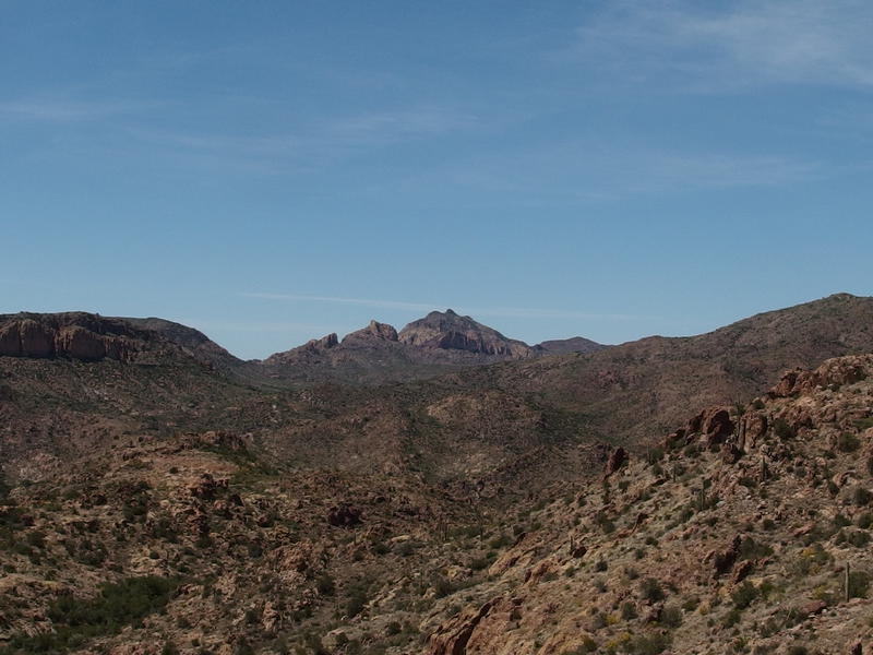
Tortilla Flat Mountain in the mockingly far distance
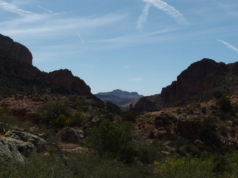
South Peak beyond the Upper La Barge Box
Another thing was in view from this little ridge - South Peak of the Ridgeline, directly down Upper La Barge Box. I had no idea it would line up so nice. It was hazy with distance, the individual hoodoos on top melding together in a soft blur, and seemed totally reachable. It was only seven or eight miles away and the trails would line up nicely if we wanted to bag it. Red Tanks to Whiskey to Dutchman to Bluff Springs to Peralta, then a few miles off-trail, and we'd be on it. With almost no water along the way, as an added perk.
Neither peak was going to happen this adventure. I've already been on South Peak, something that I tease Chris with on occasion, as the two of us had walked within a few hundred yards of the summit when we did the Ridgeline so long ago. Tortilla Mountain, though, is much more tempting. It's one of the more prominent peaks out here, up there with Malapais and Bluff Springs, and I've already been on both of those. Plus it has Dutchman Lore tied with it, though just about every bloody bush out here has some rumor or story behind it. It'd be nice bag it, and is actually rather easy to bag. Maybe next time.
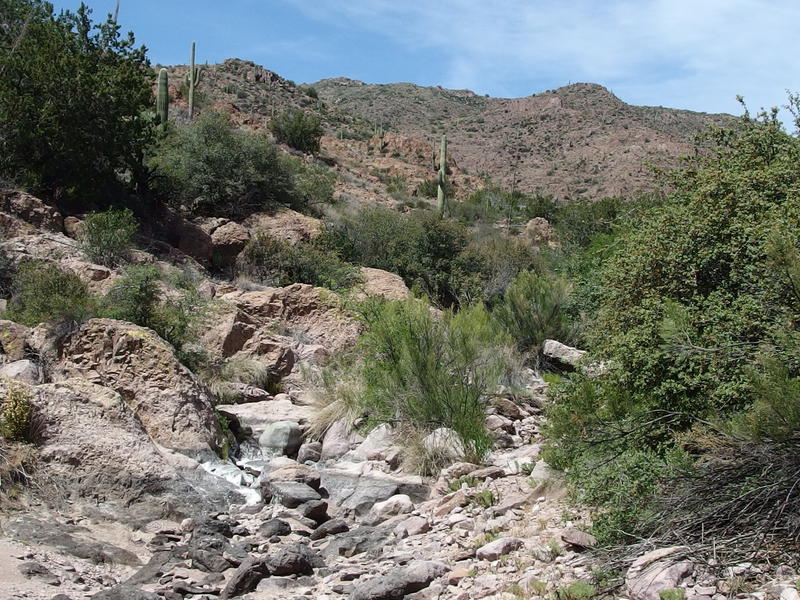
A hot, dry wash on the way to Brad's Water
The trail dropped off the little ridge and crossed over La Barge wash, a hot and dry collection of bleached rocks that did not look fun. I cut off the trail and hopped from boulder to boulder upstream, looking for the first canyon that cut off to the north, and soon found Brad's Canyon. I was looking for any sign of a trail, a lonely cairn or footprint or path, that would lead me to the spring up the canyon, and found nothing. I didn't have a GPS or anything on me, just a paper map, and had been hoping for an easy find.
The canyon forked and I accidentally took the left fork, climbing up into a tiny wash that disappeared into the hills. Nothing here. I cut over, going cross-country over loose rock and weaving between prickly growth, until I got back to the main fork. There was a suspicious wash that climbed up the east bank that I took up, literally crawling under the thick growth around it, and with a bit of luck I stumbled on two old water troughs. Two old, dry water troughs, without any pipes leading away.
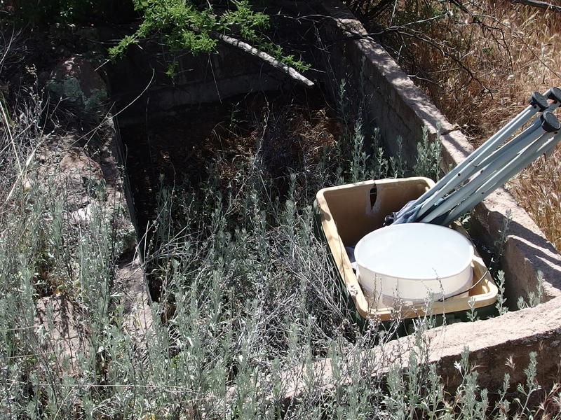
Old, empty troughs with no sign of water
Well, I was close, but I had been expecting pipes. The clues I was following by memory involved (broken) pipes that led from the troughs back to the water source. Without them I just looked around and picked the closest hill. Springs come from hills, right? I headed up the slight slope, found a suspicious splash of white rock poking out from a cluster of prickly pear, and then found the cave. A small cave, maybe three feet in height, that dove under the cactus and hill and was brimming with water. Nirvana.
I was hot, drained, thirsty, and there was no one around to judge me. I pulled off my boots and socks, rolled up my pant legs, and dangled my feet in the cool water as I filtered. The cave wasn't tall at the opening, forcing me to duck below the hacked rock to enter, though it did open up a bit inside. I could probably stand straight up five feet in if I wanted to, half-submerged in water. After drinking a full liter that's exactly what I did, too. I pulled off my shirt and waded in, carefully feeling out the rocks and silt underfoot, and then ducked right under the water surface in that tiny little cave. It felt marvelous.
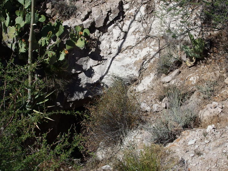
The half-hidden cave at Brad's Water
Once I crawled back out of the cave I let my skin dry lazily, enjoying the brief chills that the breeze gave me before the hot soaked back in. More water was filtered, more water was drank, and I took my time getting packed up. Chris had to be getting close now - I'd spent over an hour at the cave. Just as I climbed up the slope and began hacking my way back to the water troughs I heard him shouting for me from Brad's Canyon. I called him, showed him where the cave was, and then laid down under a nearby Pinyon to read from my Kindle while he watered up.
We didn't leave Brad's Water until well after four. The long break had been much needed and we felt refreshed heading back towards the trail. Well, mostly refreshed. Chris was done. I suggested pushing on for another half mile to the junction with Hoolie Bacon, hoping that we could finish this section of trail and possibly find some water at the nearby La Barge Spring 2, and he reluctantly agreed. Which turned out to be a mistake. La Barge Spring 2 was a massive disappointment. There was a maze of trails snaking around the area, trails that went nowhere, and the wash that was supposed to flow from the spring was bone-dry and thick with brush. Not just any brush - angry, thorny, tangled, and twisted brush that cut Chris and I up like an energetic butcher. The site of the spring itself had some moss and dried algea on the rock and no water. We retreated back to Red Tanks Trail sweaty, bloody, and defeated.
There were a few hours of daylight left and we needed to find a campsite and water yet. Trudging up the trail above the wash was a slow process. Chris was completely drained and we needed to call it soon. There was the option to retreat to Brad's Water, even though there were no clearings large enough for a tent, but Chris was vehemently against hiking the half mile back. We got a break when the dry La Barge Wash swung back towards our trail, only a few hundred yards from our failed exploration of La Barge Spring 2. There was a small pool of green water hidden under a large boulder, complete with two fighting gila monsters nearby.
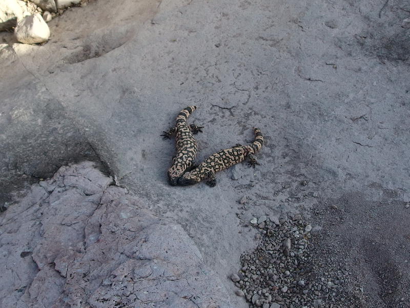
Two gila monsters passively fighting
Fighting gila monsters provided plenty of good entertainment as we filtered water from the small pond. The water was filthy enough that we had to use a cloth to strain chunks of green floaties before pushing through our Sawyers, and even then I could taste some the scum after. Once I had watered up I decided to venture further down the trail to find a campsite, as the rocks here were too angled to pitch a tent on. Chris was still working on filling up to capacity as I headed west and, less than a stone's throw from where our pool was, found a network of interconnected campsites. We were good for the night.
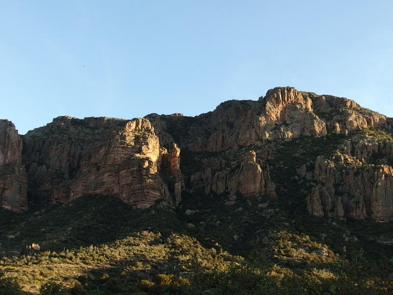
Sunset falling over Coffee Flat Mountain
So we camped near the junction of Hoolie Bacon and Red Tanks, less than six trail miles from where we started that morning. It was a bit disappointing. Yet we had some good adventures today. There was the long climb up Red Tanks Divide, drinking water that was more green than not, wading around in a half-submerged cave (possibly an old mine?), and then watching gila monsters fight as we filtered water from a desert tortoise's home. Oh yeah, did I mention that the small green pond we just pulled from had a little tortoise swimming around in it?
Dinner was a quiet affair. Chris opted for a small helping of mashed potatoes before retiring to his tent, probably exhausted from hauling his gear and putting up with my chatter. I ate my dinner and then decided last-minute to relocate my shelter closer to his tent. We wanted an early start in the morning and he had the only alarm clock, and I figured two people hearing an alarm would have a better chance of getting up that one. I stayed up just late enough to watch the moon rise over the western hills before slipping into my sleeping bag, too tired to continue on my book before falling asleep under a moon-bright sky.
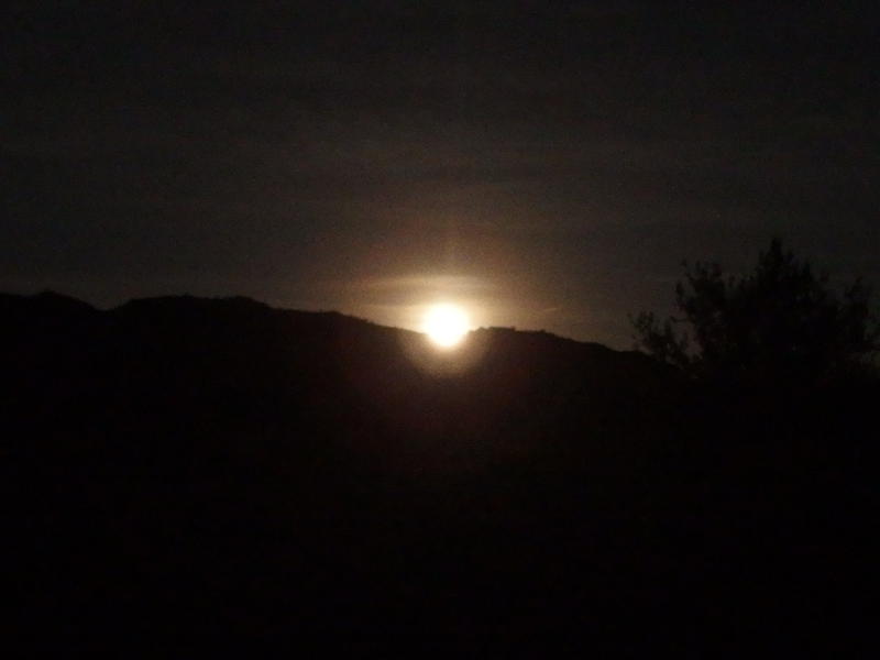
Full moonrise from camp


-
Jacob Emerick
May 25, '16
Ah, I've heard rumors that SPF isn't all that it's cracked up to be. We try to make sure we use approved screens, with a focus on UVA/B protection, and always have our kids in long, loose clothing if we're outside for longer than an hour. Would rather have sweaty kids than sunburned ones.
-
s
May 26, '16
Since you know you have acute reaction of some kind,you cannot trust whatever you think is approved. Consumer Reports actually tested and came up with widespread problems. I know you have to sign up to get the list,but that is the only list that represents objective tests. Worth the money to check.....
Add to this discussion