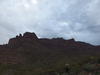
Superstition Peak
A few weeks had passed since Chris and I hiked the length of the Superstition Ridge. That had been a big milestone for both of us, a long all-day hike that introduced us to some of wild lands that the Arizona desert could offer. Something bugged me about it, though. We had previously climbed North Peak on the north side of the ridge, and then we walked the full length, yet we skipped out on Superstition (South) Peak. The tallest point on the ridge was still waiting out there for me to climb.

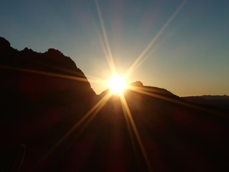
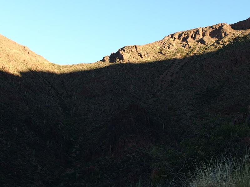
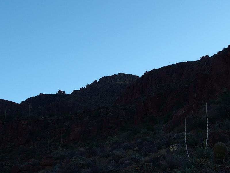
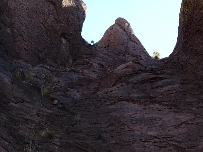
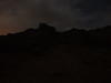
Superstition Peak cloaked in darkness
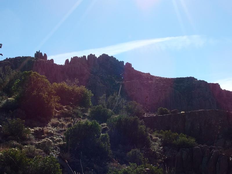
There are a few ways to climb the peak from the ridgeline trail, the main trail that far up and within a few hundred feet of the summit. Most people take either Carney Springs or Perulta far to the east, adding miles of dusty driving and miles of steady climbing up the shoulder. There is also Hieroglyphic Trail, a steep climb up a long canyon from Gold Canyon (the town) that meets up with the ridgeline trail in a deep saddle. I decided to go for a different option. Instead of taking a long detour or a canyon I would just climb up the side of the mountain.
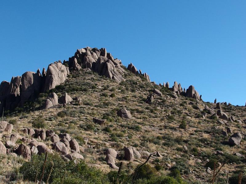
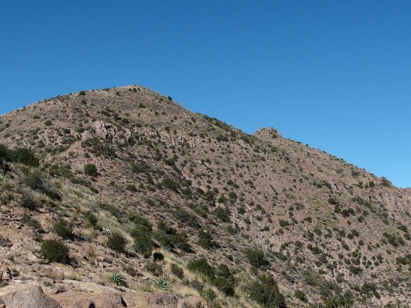
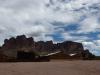
Climbing the side of the mountain isn't quite as crazy as it sounds. Supersition Peak is shaped like a melting tiered cake, each layer merging down to the next. There are a few cliffs to work through, none more than fifty feet in height. Most of the climb would be on the loose rock that had fallen over the millenia, standard bouldering and scree scrambles.
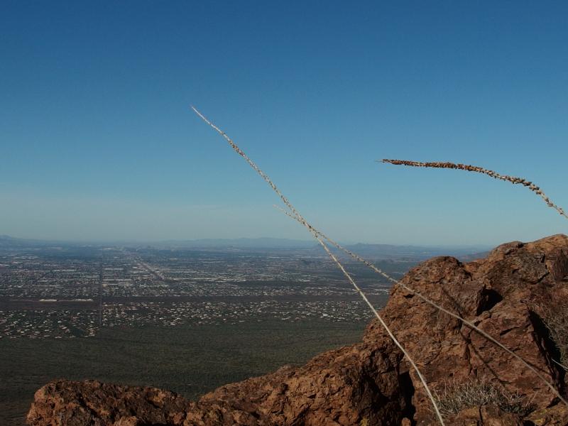
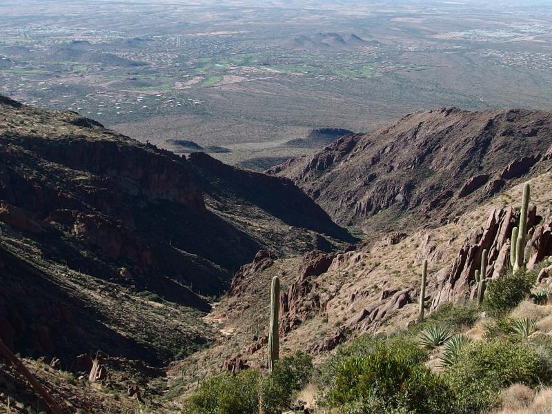
I reached the Hieroglyphic Trailhead just before the sunrise and quickly left the empty parking lot. I still needed to reach the base of the mountain, and following this trail into the start of the canyon would make for an easy start. As I walked through the brushy desert, saguaros stretching up on both sides, I couldn't help but gaze at the ridgeline ahead. It was very impressive this close up, with Flatiron sticking out to the north and the different peaks and bumps making a long wave ahead. My trail was uncertain and littered with rocks waiting to roll under my feet, small issues that didn't stop me from gawking at the scene ahead.
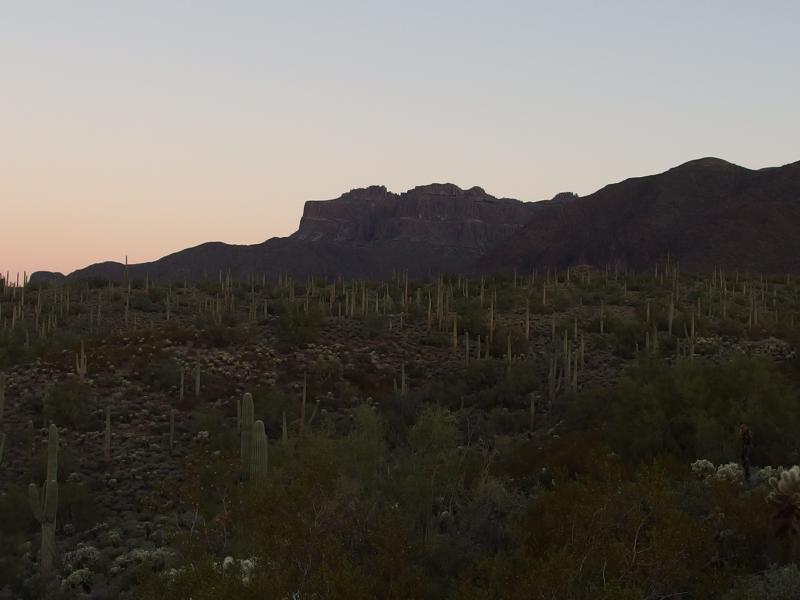
Distant outline of Flatiron to the north
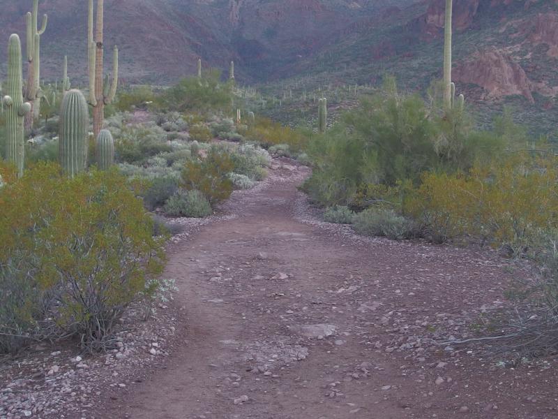
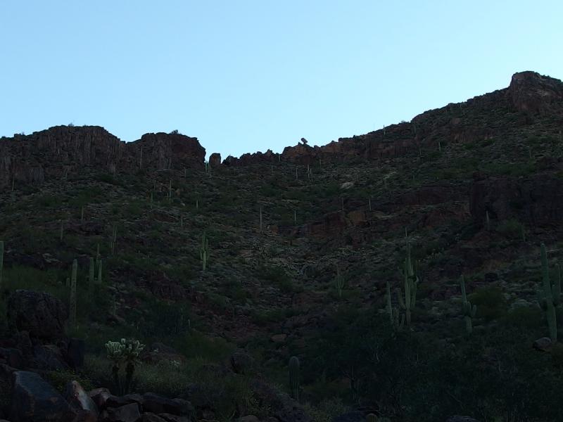
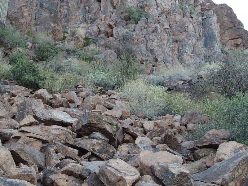
An easy, rocky trail
The sunrise took a long time to wake up, slowly lighting up the skies to the east. There was a lot of bumps out there too, interesting little peaks that I could only guess was more of the wilderness out by Globe. I didn't know much about the land out that way, my bubble of knowledge only encompassing the area closer to Phoenix, and wondered if I'd be out that way in the coming months.

Dim glow in the east

Gate at the edge of the wilderness
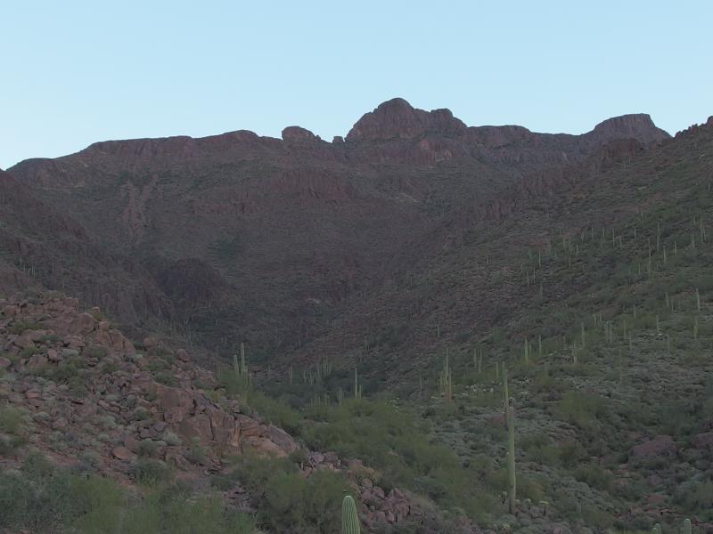
When the light did crest over those distant bumps the side of the mountain ahead became partially lit in ocher hues. What was once a solid bulk of dark became lines and shadows, different features that were lost in distance suddenly springing out. There was a deep canyon on the right, a possible alternative route up, as well as sharp shoulders on all sides. I stuck to my planned route.
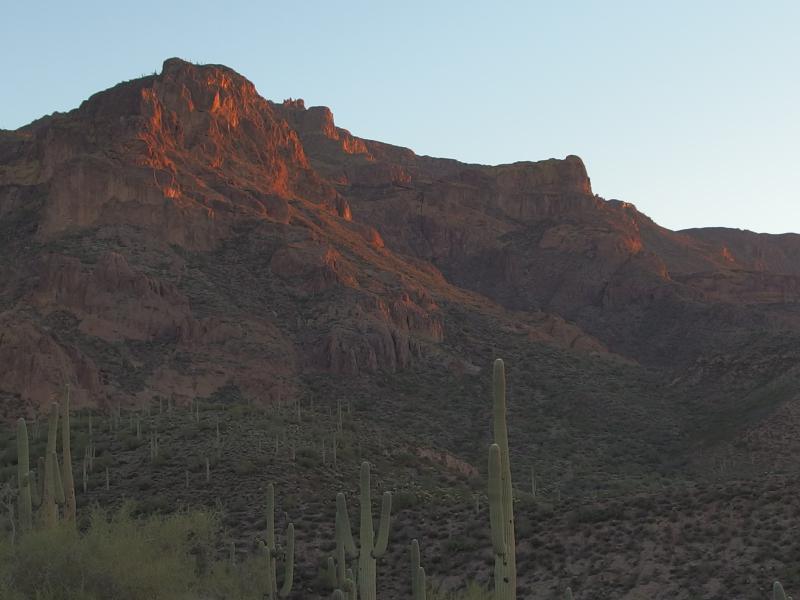
Morning light on the rocky peak
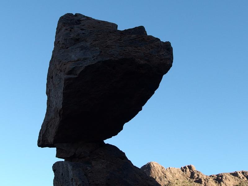
My route wasn't too unique. I had gotten hints of it from a book on the Superstition, mentions of a trail that led up from the petroglyphs of Hieroglyphic Trail, past the balanced rock, and up the western side of the peak. A good chunk of the distance and elevation would be gained on the way to balanced rock. If I could reach that point in a decent time I'd have a chance of making this a morning hike and be done around noon.
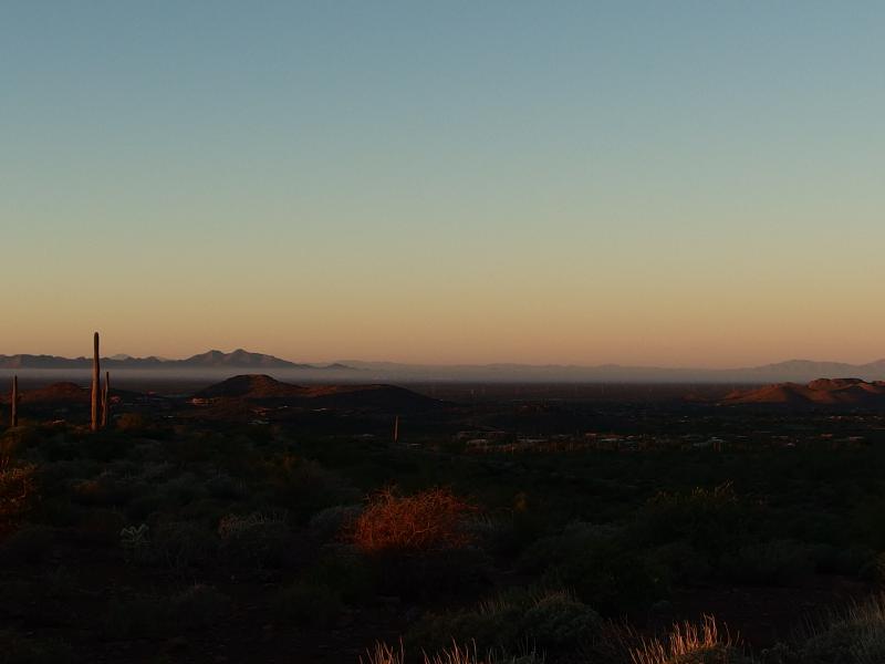
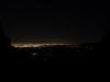
Smoggy haze over Queen Creek
Bright morning sun
To keep me moving in the early morning light I decided to play a simple game: avoid the sunlight. The canyon ahead would be cloaked in shadow for most of the morning, and Superstition Peak also blocked a good bit of sun, but out here the sun was slowly lighting up the desert. I raced forward, speeding over the trail, watching the shadows slowly shrink. There were some sections of the trail lit up, so I didn't quite win, even if it did get me to moving this early in the morning.
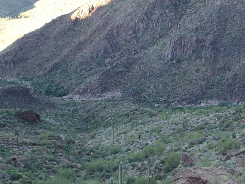
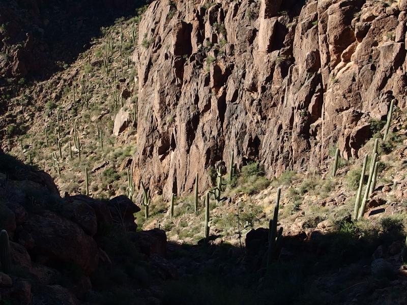
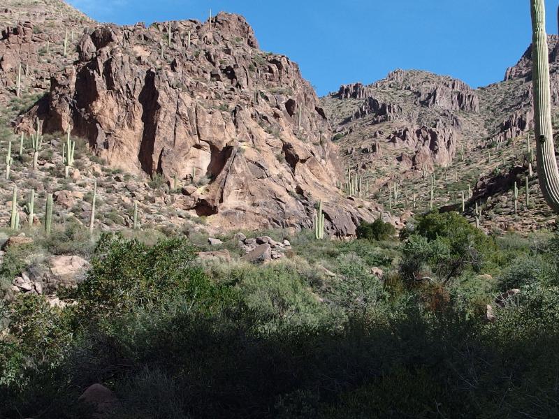
As I entered in the shadow of the peak and neared the true entrance to the canyon my trail became harder to follow. It kinda swerved around an older path, maybe a forgotten road, and was overall very rocky. Sometimes it used the old path, sometimes it didn't. Then, with purpose, it coalesced and dropped to the left into a deep, forested wash. A dark canyon opened up in front of me, walls towering high on all sides. It was almost time to start climbing.
Shade cast over Hieroglyphic Canyon
First I needed to reach the petroglyphs. The trail ducked and weaved through the wash, forcing me to avoid branches and overhanging brush as it continued north. I'm always surprised when a desert trail gets so forested, even if it is near a wash, and the green around here was thick and lush. When it fell away from the trail and opened into a more typical rocky desert scene I was standing near a small pool of brackish water at what I assumed was the prehistoric rock drawings.

Small pools over water under the petroglyphs
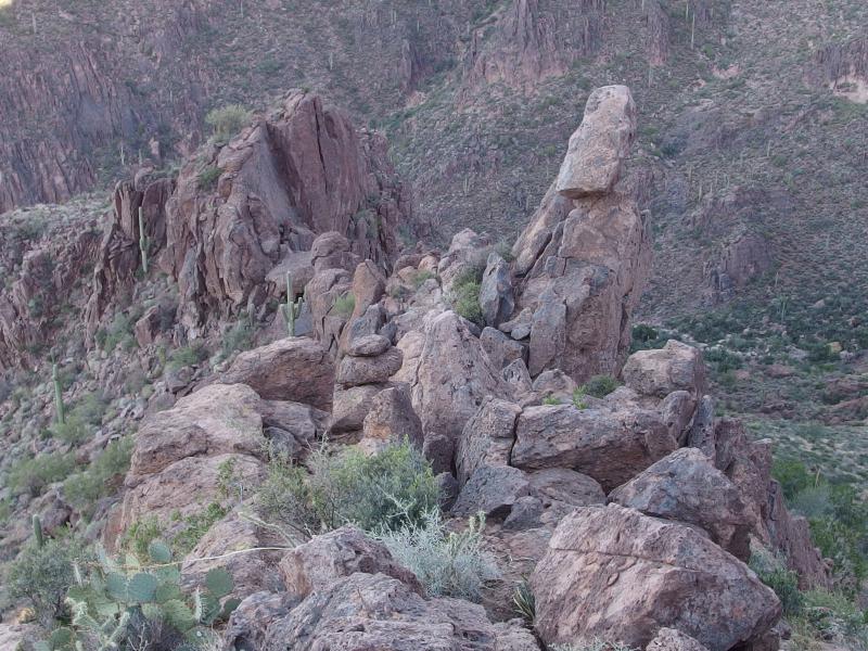
Balanced rock high above on the hill
I turned away, trying to get my bearings. If this was the spot to start off trail than I should be able to see balanced rock from here. Sure enough, far above me there was a potatoe-shaped rock perched on a ridge. My time following the trail in the canyon was over.
Before starting the climb I wanted to get a few good photos of the petroglyphs. Dropping down into the wash I skirted the brackish pool and peered at the rocks on the far wall. Sure enough, there were clusters of rudimentary drawings on the aged rocks, little animals and square-shaped heads. I was surprised at the lack of signs or protection here… anyone could wander up and chisel a love note next to carvings that have lasted hundreds of years. And there did appear to be a few markings made more recent nearby.

Ancient drawings on the rock
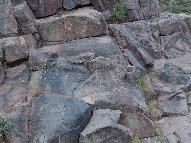
More of the odd little petroglyphs
It was time to get started on the real hike. I pushed my pack back and leaned into the climb, scrambling up the loose rock and hopping around the cacti. I wanted to stay just left of a little canyon and follow a minor ridge up to balanced rock. The sudden change left me breathless quickly and I had to pause at regular intervals to regain my bearings. As I made my way up the sun continued to rise and light the canyon behind me, reminding me of the passing of time.
Light beginning to the pour into the canyon
When I finally made it to knife ridge below the rock I was greeted by a field of boulders. For the first few minutes I jumped from one to another, carelessly making huge steps and hops on my passage upwards, until one shifted heavily underneath me. I quickly moved forward from the unsteady rock and heard it slam back into place. Other people had come this way and left a few cairns, just not enough to make for a good trail or steady ground. I continued up a bit slower.
Loose bouldering on the climb up

Familiar peaks along the ridgeline
Beyond the boulders there was only the knife ridge. It was steep enough for me to lose my view of balanced rock, slightly disorientating me. My path wasn't too hard to remember - just go up. I slid around huge thrusts of rocks and tiptoed on narrow ledges and passed right by the rock. It wasn't until I felt a tingling on my neck, the weird feeling you get when something is about to hit you in the back of the head, that I whipped around and saw the huge boulder perched not ten feet above me. And it didn't look terribly supported.
Under the perched rock
Between the loose boulder and this surprise, plus me hiking alone, this was turning out to be an unnerving experience. I quickly followed the ridge up the rest of the way, pausing only once or twice to take a quick picture, and then broke the crest completely out of breath.
Looking down on the now-distant petroglyph site
Dark peak far above
Along the knife ridge
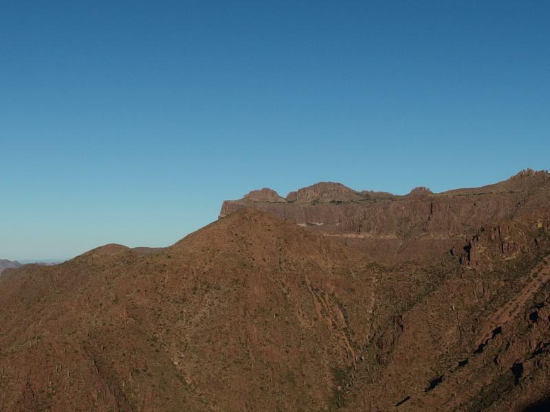
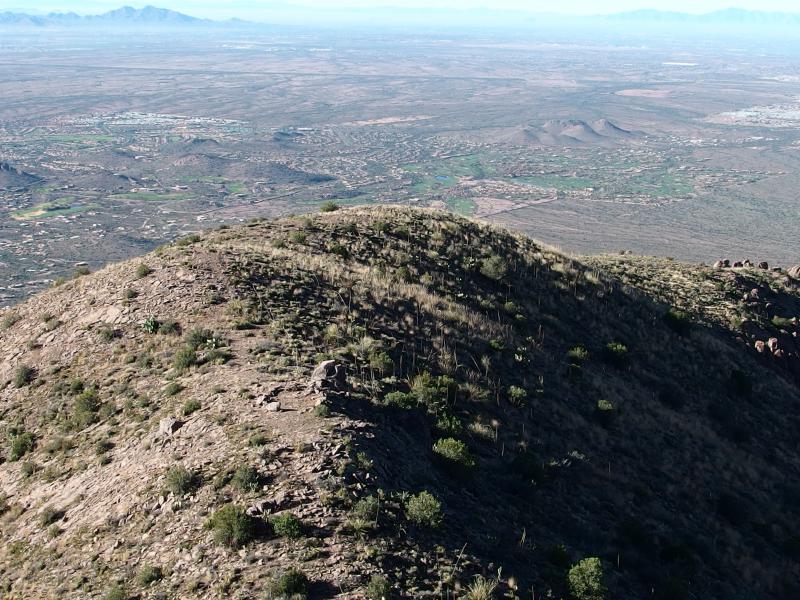
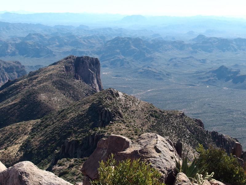
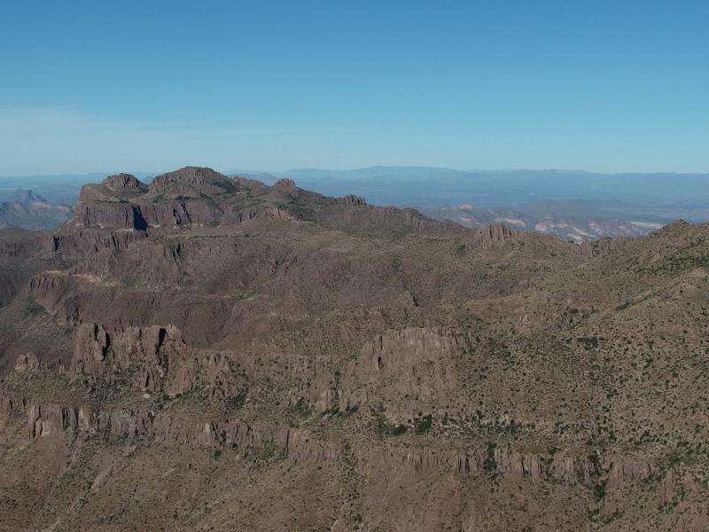
I didn't let myself stop here. The ground sloped up from the edge, a long hill that stretched to both sides of the knife ridge, and I tumbled up. The walk wasn't anywhere as steep as the climb from the petroglyphs far below and felt almost relaxing under my feet. When I did make the top the views were outstanding. I was over 3600' already, Flatiron visible to the north and Gold Canyon to the south, even if there was a low layer of fog/smog hanging over the valley. I plopped down on a nearby rock and inspected my way forward.
Over at the straight lines of Flatiron
Houses scattered throughout Gold Canyon
Following the melted cake analogy from before I was now halfway between the first and second tier. Between that and the mediocre climb from the parking lot this meant I had over half of my elevation done already. I didn't feel as bad about my tired legs anymore. Ahead, though, didn't look great. The second tier rose up sharply, much sharper than I had thought, and I didn't see any obvious ways up.

Steep obstacles along the way
My topographic map seemd to hint that the cliffs may be a bit easier to climb to the right, further south of where I sat, though it all looked the same to me. Steep loose rock covered in cacti leading up to hard cliffs. With a deep sign I heaved up and began picking my way to the right, grudgingly picking up more elevation and needles along the way.
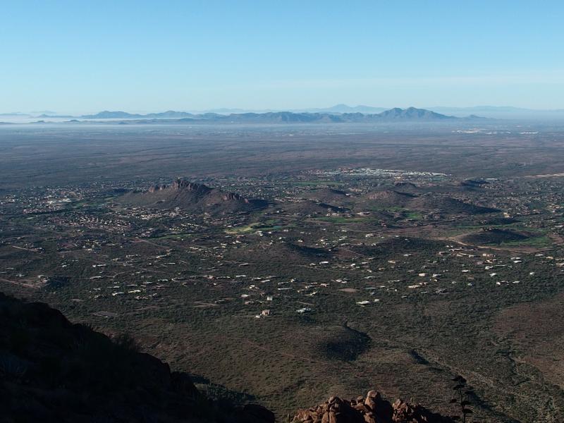
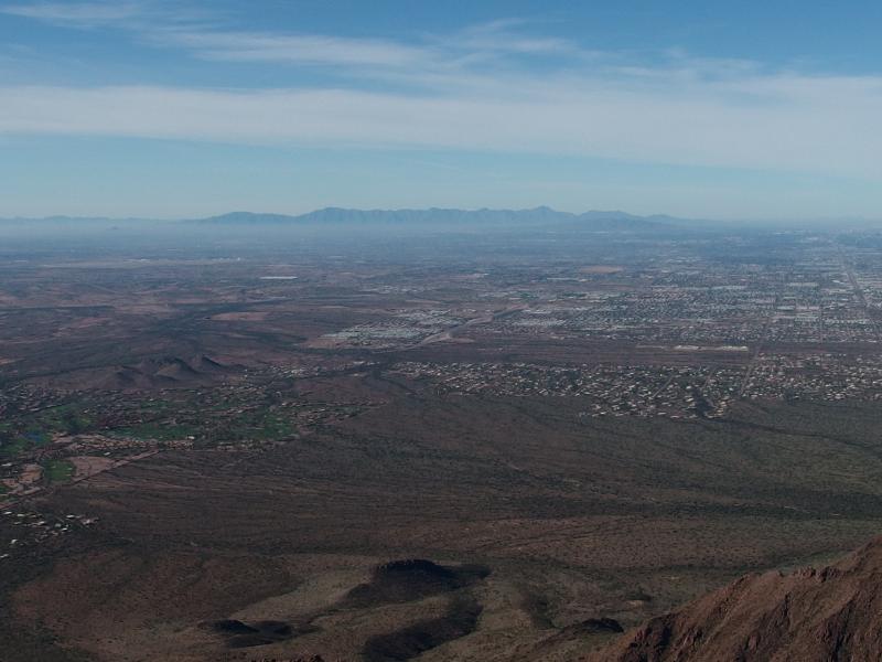
I passed by the more direct cliffs and pushed further south, circling around towards the deep canyon I had spotted earlier in the morning. More views of Phoenix opened up until I could finally make out Camelback and Squaw Peak through the haze. I wondered how many people were making those climbs today… probably a few hundred, if not thousand. I had yet to see a single person out here yet. This was heavenly.
Straight lines of Phoenix in the west
Long fall down
Above the deep canyon I spotted a white blaze of paint on the cliffs above. Was that a blatent trail marker? From here I didn't see any good way, all steep rocks piled upon one another. I slowly climbed the hill, searching for a more obvious route. When I reached the blaze the only option was a cacti-choked chute leading up to the left. That, that didn't look appealing. I turned and headed further along the edge of the cliffs.
Route finding between the hoodoos
Painful chute up
A rock chimney showed up around the next bend, an eight-foot chimney with a crumbling roof and a nearby ledge. If I could squeeze up the chimney and shimmy along the ledge it looked like I could get over this section. It was just wide enough to brace back on side and legs on the other, allowing me to shift back and forth to climb. I made it up the eight feet and was in the process of slowly pushing forward onto the ledge when my foot gave out.
Desparate, I shot an arm out into the rocks on my left and managed to get a grip before rolling down the drop. It wouldn't have been a long fall, only eight feet, though the ground below was sloped enough to stop me from getting a grip. I would have tumbled another thirty before vegetation would have stopped me. Very prickly vegetation.
I took some deep breaths and pushed on before seeing the ledge ahead. It was covered in low cacti and less than six inches wide, and there was no way I could stand and walk along it. Six inches was not enough for me to belly-crawl on. I slowly lowered myself back down the chimney and rested for a bit. My arms and legs were all trembly from the near-fall and I needed to regain my composure before looking for another spot to climb.
Steep scramble up the chute
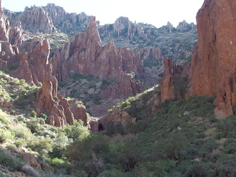
Hundred feet further along the cliffs and there was a wide, steep chute that looked like the path of a now-dry waterfall. I had seen it earlier, while I was debating the rock chimney approach, and had ignored it because I couldn't tell if it made it all the way up the steep cliffs. Now seemed like a good time to try it.
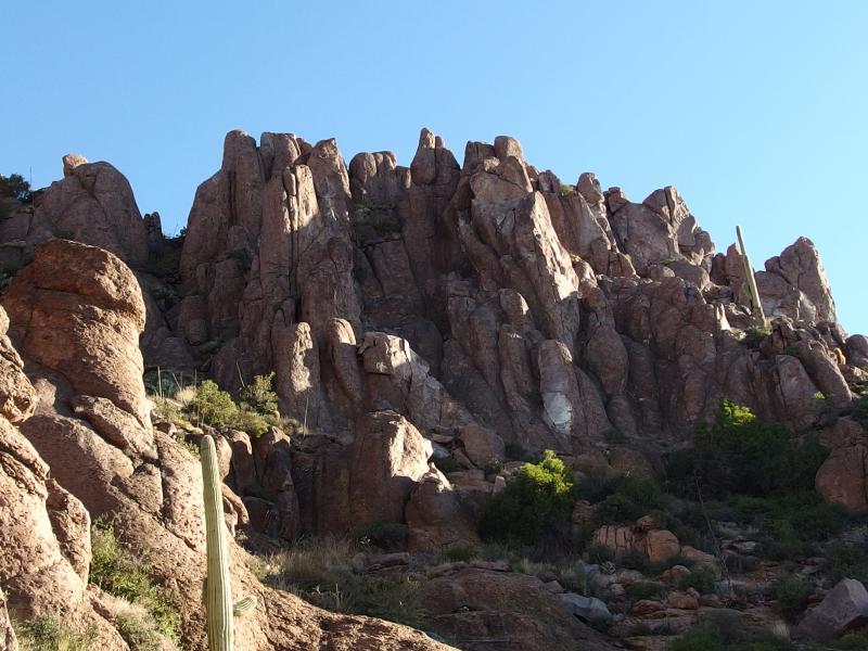
I picked my way over to the chute and carefully scaled it, leaning forward and bracing myself into the crumbling rock face. There wasn't much for handholds or cracks, so I just hoped my angle and hard boots would be enough to keep me from sliding down. In a quick few minutes I crested the top, finally topping the second tier. A large hill of loose slab greeted me, with the fortressed final climb high above.
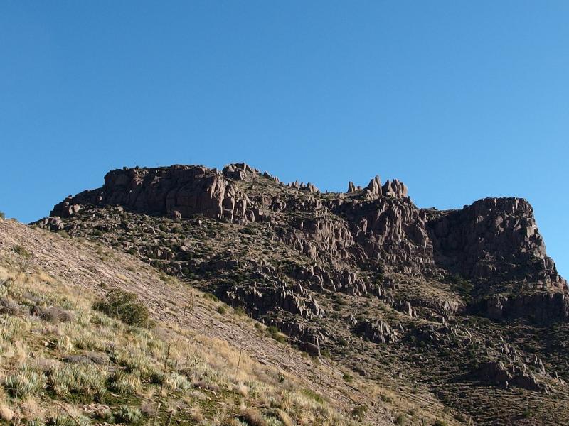
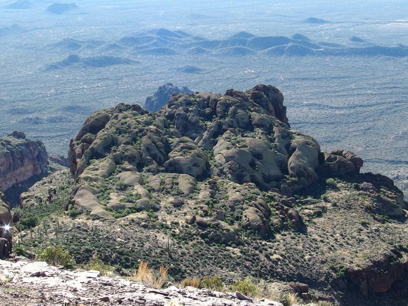
Buttressed fortress waiting near the peak
Mounds of loose rock
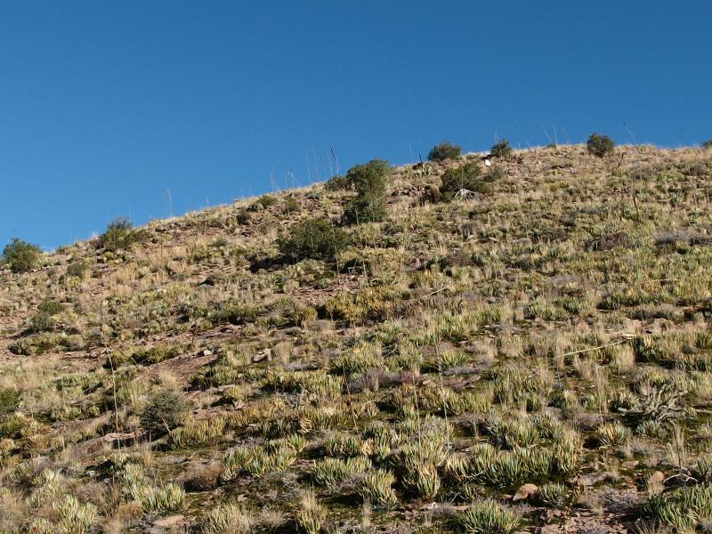
This loose rock was an interesting and annoying find. It slipped and skittered under my heavy footfalls, shooting down the slope when I knocked a piece loose. It reminded me of the old slate quarries up in Michigan, the way it was all piled up unsteadily. There were spiky little balls up here that looked like blooming onions and they stabbed up at my shins during my climb. I was learning that everything in the desert hates hikers and wants to make them bleed. I made it to the top of the crumbly hill and surveyed the scene around me.
Looking out over the ridge
Little knobby thrust to the south
Flatiron jutted out to the north, more visible than before. I was almost at the same elevation now as it and the Superstition Ridgeline extending towards me. The steeper climb and tiered system made it feel like I had climbed much more than Flatiron today. To the south was an interesting little knobbly thrust of rock, one that may only be accessible by rock climbers (I didn't look too close). On the left side a shine caught my eye, either a mirror left behind or pool of water. I didn't investigate as it didn't move around - no one was trying to get my attention down there.
I had it made it to the top of the crumbly hill yet it continued to climb, making a lazy snake towards Superstition Peak. With heavy boots I trudged onwards. The sun was now fully on me, exposed on the hill like this, for the first time this morning. I felt that sun. It was just hot enough to be uncomfortable, the slight breeze a tease that did nothing to cool me. There wouldn't be shade again until the descent.
Back over the loose mounds
Saddle marking the way down
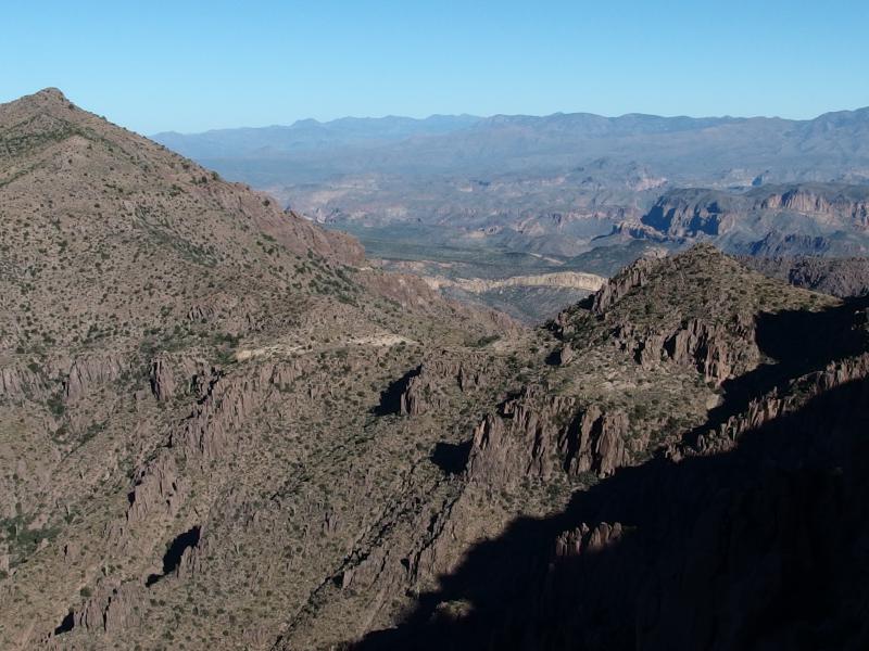
Along the climb I noticed that I had finally made it higher than a portion of the Ridgeline, the saddle near Hieroglyphic Trail. Portions of the Superstition Wilderness and Four Peaks beyond were starting to open up now. That was my descent route, down the Hieroglphyic Canyon, and it was nice to see it starting to fall below me.
Clear view over to Four Peaks
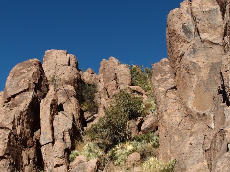
As I neared the last tier, the last upthrust of rocks before the peak, the path up seemed blatently obvious. I wouldn't be skirting along the edge of cliffs looking for a path this time. A narrow chute, choked with boulders that would provide easy handholds and stair steps, led me up the thirty foot climb to the top. When I reached the top I saw the real peak, the final climb ahead of me. I was almost to the highpoint.

Random cluster of boulders to hobble over
Last stretch to the peak
With the hoodoos and steep thrusts I decided to circle around to the right of the peak and take the slope up to the peak. Climbing this last bit was tough with the three thousand feet I had already climbed over the last two and a half hours but I pushed on, knowing the end was near. On the right side I bumped into a marked trail that had to be the spur from the Ridgeline Trail. I followed that up another boulder-choked chute and made it to the top, to Superstition Peak, to the highest point on the ridge.

Hills and crests of the Superstition Wilderness

A long ways down
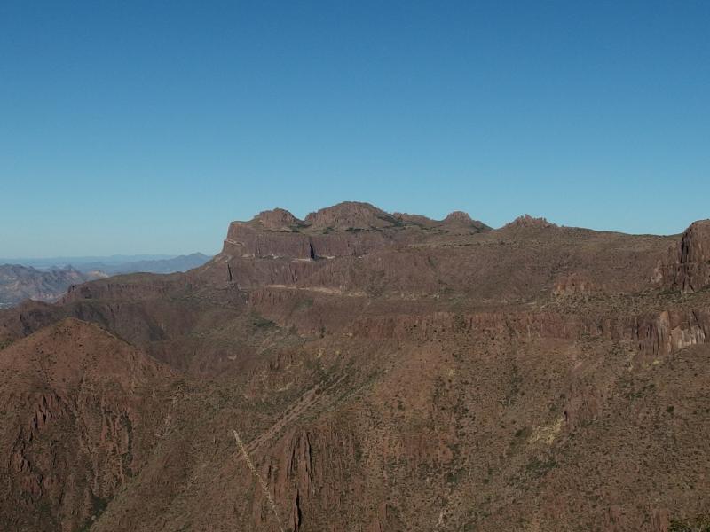
Steep drops east towards Perulta
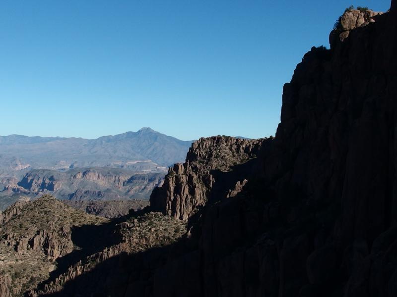
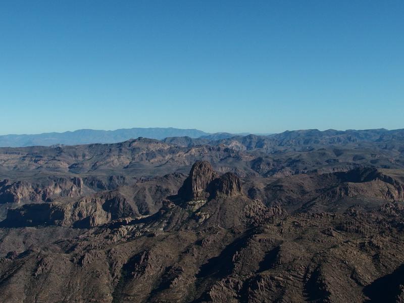
From the peak I finally got views northeast to the wilderness, unblocked views of Malapais Mountain and the deep canyons and Three Sisters. The land due east towards Perulta looked crazy. Chris and I had hiked there, had followed the ridge down to Carney Springs, and looking at it now I wondered how we made it around those terrible cliffs. Oh, and there was also Weaver's Needle out there, looking tiny so far below the peak.
Shadows cast from Weavers Needle
With the views out of the way I started to look around near my feet. There just had to be a summit log up here, a list of previous climbers locked up in a watertight can. Sure enough, in a bright blue ammo box nestled in the rocks I found it. There were several notebooks in here and I picked out the correct one and flipped to the end. I was the first one up here this weekend, though probably not the last, and was at the end of a long list how had climbed it this season. I made a few cursory scribbles mentioning the route and date and closed it back up. It was time to start the descent.
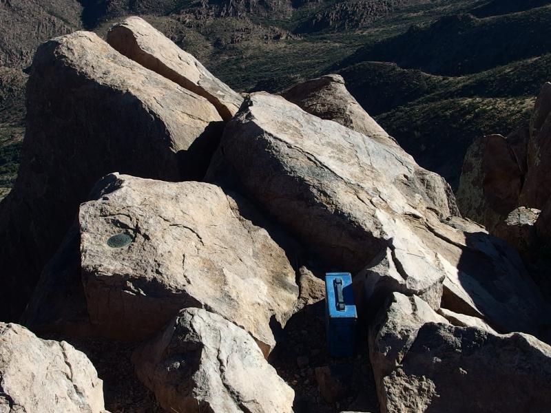
Ammo box with protected log
Layers along the ridgeline
White smog over Phoenix
There were a few options for the way down, options I had already gone over when I contemplated the ascent. I was parked at the trailhead for Hieroglyphic, so it would make the most sense to either backtrack my route up or take the canyon down. So the canyon it was. First I retraced my steps up the peak, curving east instead of west when I reached the base, and met up with the Ridgeline Trail with no problem.
Compared to the partially-defined trail from balanced rock this seemed like a highway. It was empty right now, no other hikers in sight, but the path was wide and easy to make out. I cruised north along the side of the peak, dropped down into the saddle, and was soon at the head of the canyon. I could barely make out the upper reaches of the Hieroglyphic Trail branching off, right at the bottom of the saddle.
Back on the ridgeline
Sun over South Peak
I took a deep breath. I wasn't quite ready to head down yet, to lose all of my elevation descending a shadowy canyon. Superstition Peak towered above me already, and the ridgeline continued north past, and Weaver's Needle and the rest of the Wilderness was visible behind me, and an unknown trail dropped back down towards Phoenix. I kicked myself and started down the canyon.
A steep descent down the canyon
The trail was poorly defined, not quite as bad as balanced rock, but still hard to make out. There were more cairns here to mark the route. I stayed on the south side of the wash, avoiding the slick rocks and sudden drops of that for the crumbling banks, and made my way down. The first seven hundred feet of drop was pretty nasty, over gravel-covered rock slopes that threatened to send me down in a loud clatter, and then things began to level out.

Loose rock over hard slabs

Half-slide down the rock
Along the way I bumped into the first hiker I had seen all morning. A tired and heavy-laden man was sweating on his way up the trail, earbuds in and looking very serious. I hailed him and he panted out a few greetings. He wasn't going for the peak, just training up and down the trail, and then he was past me. If I had to guess this was probably his second or third time up this morning, depending on what section of the trail he was doing reps on. That would be a tough day.
Lush green in the canyon
The green of Hieroglyphic Canyon this far up was surprising and pleasant to look at. It extended up a few side channels, reaching south towards Supersition Peak, and really choked up the bottom of the creek here. The trail stayed faithfully on the south side, avoiding the thicker patches, which was for the best given the tangled and thorned nature of all plants out here.
Thick growth for long sections
It stretched on and on, this path, slowly dropping around bends. The first 1500' of drop had been quick, now it just kinda stretched on over the length. When I finally reached the petroglyphs, where I had first left this trail several hours ago, I was both happy and disappointed. Now there was only a mile of easy walking left to my car, a quick twenty minutes and I'd be done for the day. Now, also, there were tourists traipsing about with loud mouths and bright colors. I did my best to slip past them in my dirty and sweat-stained clothes and continue down the trail.
Last view up at Superstition Peak
Near the parking lot I looked back at the mountain, the piled mounds of rock reaching high above me now. I had to guess where my route had taken me. Everything looked so jumbled and confusing down here, multiple thrusts reaching out that could either be one of the tiers or just an outflung shoulder. It was hard to even make out the peak. I shrugged and continued down the trail. Today I had climbed something over there, even if I couldn't make out what, and had finished all three sections of Superstition Ridgeline. Now it was time to start diving past the ridge and into the wilderness beyond.
-
Jacob P Emerick
Feb 10, '17
Hi Libby, great to hear from you, and thanks! The Superstition Ridgeline is a very beautiful rock feature, either from the bottom or while hiking. Sounds like you live at a location where you can enjoy the view all the time, too. Congrats on the gallery. By all means, feel free to use the photo as a reference, or anything else on the site. I'm just happy to hear that it's an inspiration. If you don't mind sharing, what's the name of your gallery? Not in Superior often, but would love to stop by when possible.Yes on Gilbert - the very south part, in the Seville area. We're renting for now and haven't quite picked out where to settle down. It's not a bad place, though anything closer to the Mazatzals or Superstitions would be preferred :)
Add to this discussion