Rainy Supe Loop: Fremont Saddle to Marsh Valley
With the cooler temperatures of the Arizona winter something unexpected happened - backpacking in the Superstition Wilderness suddenly sounded appealing. And I'm not talking about the eastern end, the green hills around Reavis Ranch and Campaign. The western and central Superstitions, the desert land that Chris and I had sweltered in triple digits for far too many day hikes, was now temperate enough for a multi-day trip. So I headed out there for a long weekend with a half-baked plan and hoped to put some serious miles under me.
Driving to Peralta Trailhead was easy enough, even in the minivan that is now my family's sole form of transportation, though the full parking lot gave me pause. This trailhead, and Peralta Trail beyond, is the busiest part of the entire wilderness. Well, maybe most of them were only here for day hikes. I got out of the van, swung my pack on, chatted briefly with a friendly old man waiting for his wife, and then started on my way. It was already one in the afternoon and I had a long trek to reach my planned campsite.
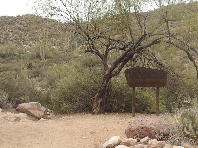
Cloudy grey skies over Peralta Trailhead
So that half-baked plan of mine was to cover close to fifty miles over three days. Climbing up and over Fremont Saddle from Peralta Trailhead, a 1400' climb over 2.5 miles, was just the start. On the far side of the saddle there was a long descent down to Dutchman's Trail, a quick jog up Upper Black Top Mesa Pass, then an easy drop down to Marsh Valley. The second day is when things would get really interesting, when I would start exploring new land that I've only dreamed about reaching on day hikes, but that was assuming I would survive the planned ten miles today. I didn't even know if there was water out here to last more than a single night out.
I was relatively prepared for this trip. My pack was fairly light, maybe 25 or 30 pounds of gear and food, with another 11 pounds of water (5 liters) on top of that. The heaviest items I carried was food, because I pretty much just raided the cupboards and grabbed whatever looked good before coming out, and some extra clothes to deal with forecasted lows. My route and water situation was not well researched. I had an idea of where I wanted to go, which was basically a random loop of trails that lined up to make fifty miles, and I hoped to find some water in a few spots along the way. Not a great mindset for desert hiking.
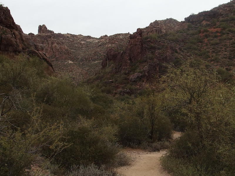
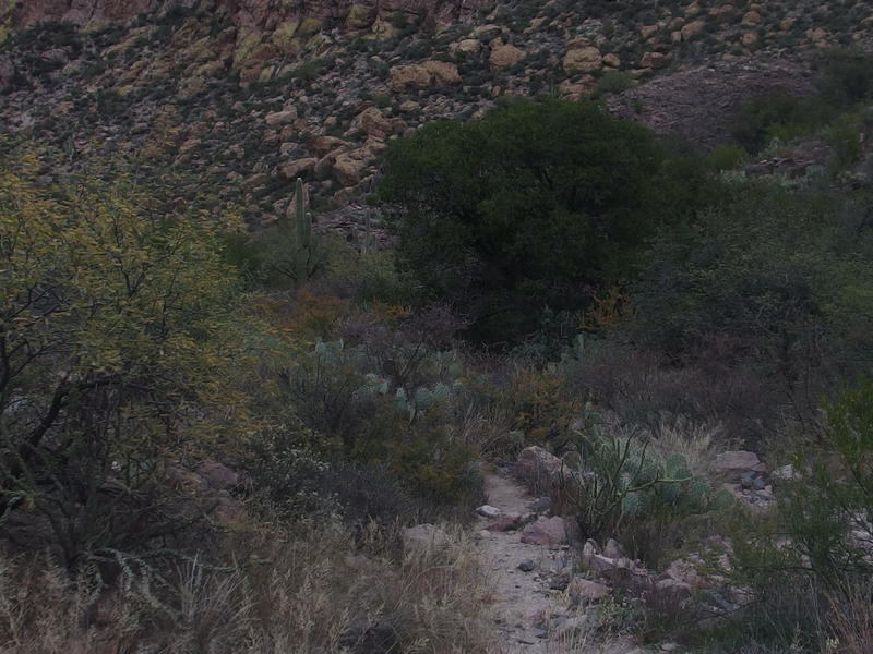
Dark brush crowding along the sandy trail
Peralta Trail isn't a bad hike at all. There is plenty of green around the start of the trail and it gains ground slowly, letting you ease up to the steeper sections right before the saddle. The reason why I usually avoid it is the crowds. I've never seen this trail empty, even on some of the painfully early 5am starts with Chris during the summer, and today was no exception. I had no more than fifteen minutes of solitude between each descending group.
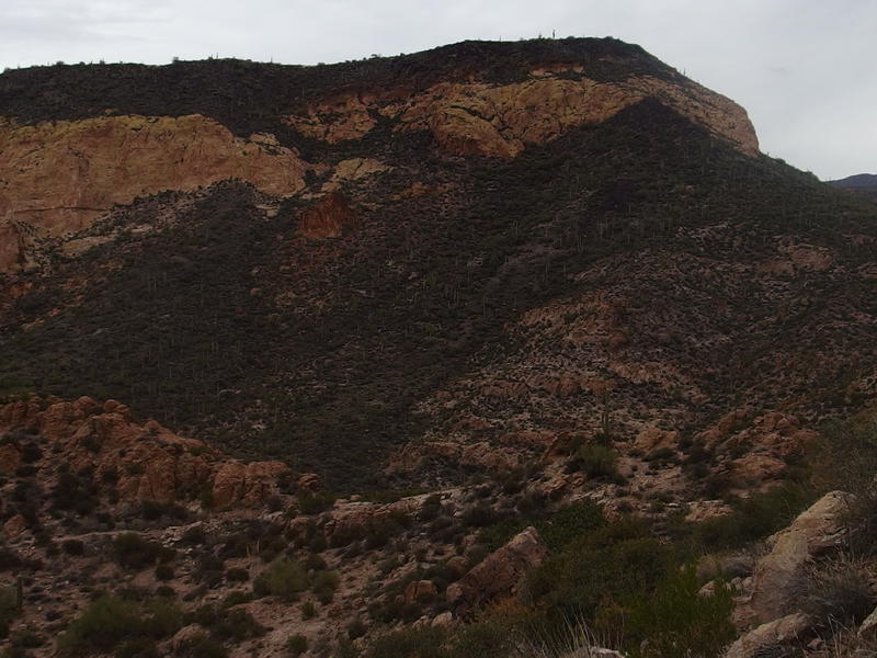
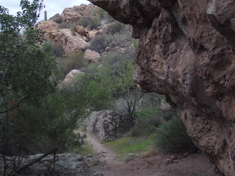
Yellow bluff ahead, somewhere up by Geronimo Cave
Rocks and dirt along the path
Most of the hikers were friendly enough. There was a father-daughter pair, a few teenagers, and even a young couple carrying along a four month-old son. Four months! That couple was originally from Oregon and had recently moved down here and seemed to be missing a good forest hike. I recommended the Cabin Loop out by Payson, which may be a bit far of a drive for their little one. Maybe they could get a sitter and make a good weekend out of it.
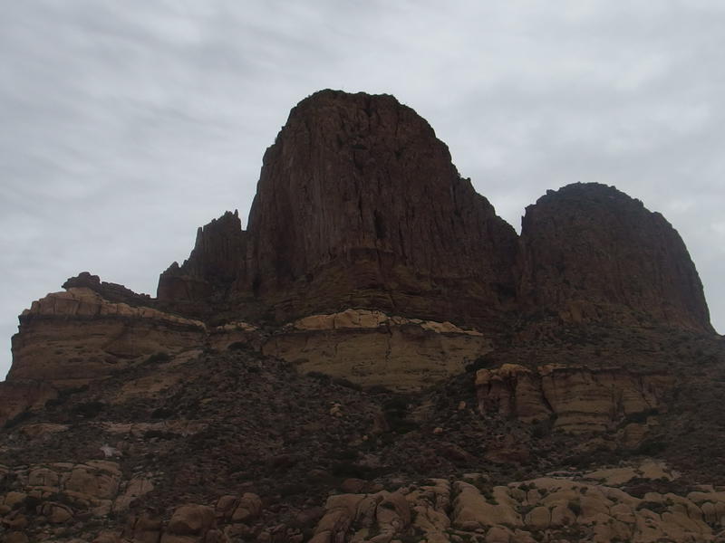
Anyways, the other hikers were friendly and the views were good. As you climb up the canyon the difference between the two sides is very striking. To the right are the slow, swooping yellow bluffs that seem to be typical of southwest faces in these lands. To the left are hoodoos so stacked and lofty that they look like an infinitely large church organ. Up above those hoodoos is Robber's Roost, somewhere up there, though I couldn't seem to recognize any of the outcroppings from down here. I may need to revisit that spot with Chris in the coming months.
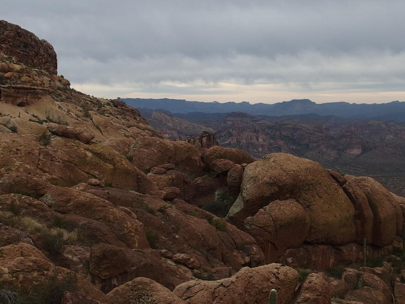
Low clouds off to the south
Rugged rock walls to the west of the canyon
I felt like I was making good time heading up the saddle yet I kept pushing myself faster. There was four hours of good daylight to work with and ten miles to cover before Marsh Valley. That valley wasn't even where I really wanted to end up - Charlebois Spring, a few miles further, is where the water was supposed to be. If I could make it there before the sunset, find a good campsite, and pump some water tonight, things would look pretty promising for the rest of this trip.
Looking down on the winding trail below
The trail began to wind back and forth as it approached the saddle, switchbacks trying to ease up the steeper reaches, and I zipped back and forth with it. Sweat began to roll of me in the sixty degree temperature and I fought back the urge to sip from my water. Not until I was on the saddle. Then, just over an hour after leaving the van, the saddle showed up and I got my drink. Not a bad start at all.
There was an older couple up here that made for some great conversation. They were just getting into the Superstitions and had a ton of questions about the different trails and exactly where I was backpacking to this evening. After a good long chat, enough to get my breath back and the sweat to start to chill on me, we separated. It was time for them to start heading back to the trailhead and time for me to start the long descent.
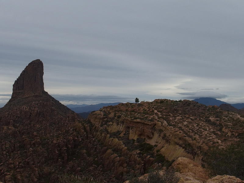
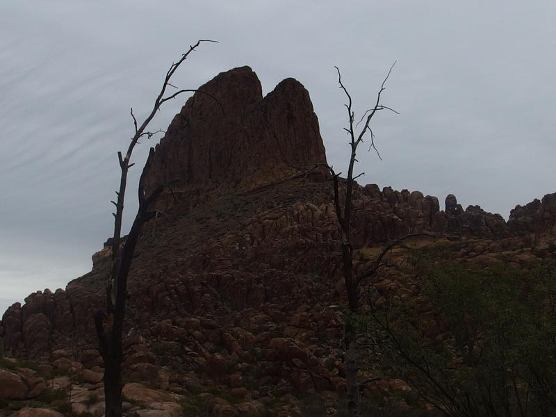
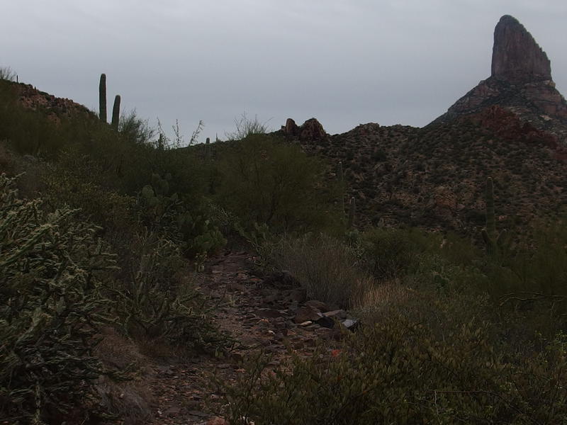
Weaver's Needle, a lonely pine, and the shrouded Four Peaks
This section of the trail was not new to me either. Chris and I had done a shortened Weaver's Needle Loop during the summer and we had climbed up this side of Fremont Saddle on our way back. It's nowhere as steep, can get a bit overgrown at times, and offers fantastic views back up at the famous needle formation. In short, it was a great trail to trot down while gaping around.
Stark view up at Weaver's Needle
Little campsite near Pinon Camp, below Weaver's
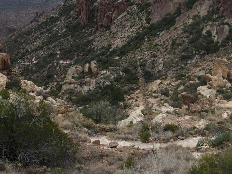
The first mile passed by in a flash. After lugging all my gear up to the top of the saddle this felt like a breeze. There was some overgrown brush to push through, some boulders along the trail to make my way around, and it was all easy. Before I knew it I was at Piñon Camp, a small clearing that would make for an easy campsite. I've even heard that water can be found here at times, though I didn't have the time today to hunt around for it.
Beyond the camp was more downhill, though it began to level off a bit, making things a bit easier on the knees. More brush crowded along sections though there was nothing spikey. If anything it began to get a bit boring. Once I got past the crosscut trail from Weaver's Needle that Chris and I had come over things were technically new, it just all looked the same. Desert growth, familiar landmarks, a bit of green, etc. I tried to distract myself by eyeing up the tall outcroppings on my left that stood between me and West Boulder Canyon - they looked pretty intense.
Jagged mesa separating East and West Boulder Canyon
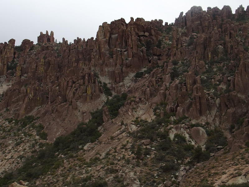
That did make for an interesting distraction. Boulder Canyon makes a deep gash in between Battleship Mountain and Black Mesa in the north, eventually flowing into La Barge and Canyon Lake, but down here it was split into two rugged canyons. East Boulder Canyon, where I was now, starts at Fremont Saddle, runs down along Weaver's Needle, slides in between Palomino Mountain and Black Top Mesa before joining the main creek/wash. West Boulder has a longer route, starting up by Robber's Roost and South Peak and swinging all the way over to Parker's Pass before coming back to the main canyon. East has an official trail (Peralta, the one I was on) but the path up West is unofficial. That would make for an interesting all day loop, down one canyon and up the other, probably a good twenty miles or so in all with plenty of views up the back of the Superstition Ridgeline.
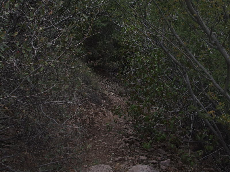
Overgrown section of the trail
Looking up at west face of Weaver's Needle
As I drifted along on different thought patterns I noticed something interesting - I hadn't seen a single person since leaving Fremont Saddle. Would I even see anyone on this trip? The solitude was nice, unexpected and most welcome. There could be some other backpackers out here or some hikers further east over the next few days, I guess. A full weekend without seeing anyone would be a treat.
Glance back towards Fremont Saddle
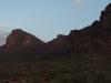
Peter's Mesa in the distance, between Malapais and Black Mountain
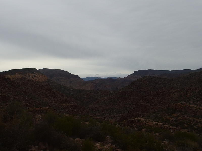
Once the trail finally got past the bulk of Weaver's Needle a new view began to open up. Far to the east, beyond Upper Black Top Mesa Pass (where I still needed to cross over) was a narrow saddle in between two huge mounds. It looked an awful lot like the low section of Peter's Mesa in between Malapais and Black Mountain, even if the elevation wouldn't quite make sense. Plus, Tortilla Mountain should be somewhere over there, unless it was hidden by my limited line of sight. Either way it was near my campsite for the night. Marsh Valley was right below that corner of Black Mountain. My destination was sort of in sight and I had two hours of daylight to reach it.
Weaver's Needle was not out of sight yet. It would be one of the more prominent features for much of today's hike, and if the visibility stayed clear, would remain so for much of the weekend. One of my favorite things about the needle was how different it looks depending on your angle. From Fremont Saddle and Parker's Pass it just looks like a narrow chimney, but when you are right next to it you can see separate spires that are almost shaped like a thin dinosaur spine. One of these days I'm going to have to get nice and close to that thing and try to scramble up a section of it. To climb the whole thing you need real climbing gear or a whole lot of guts.
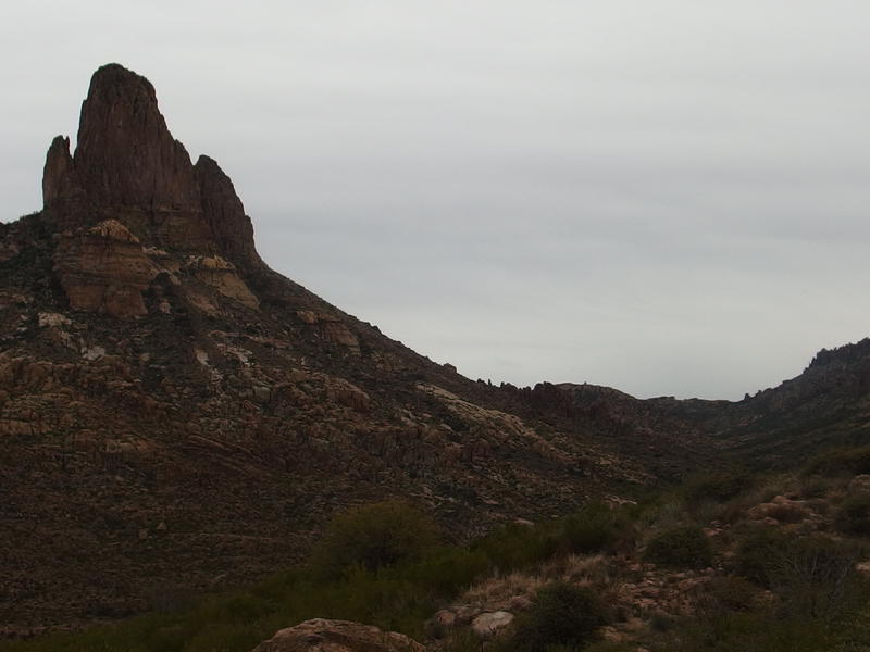
Weaver's Needle and its huge, sweeping foundation
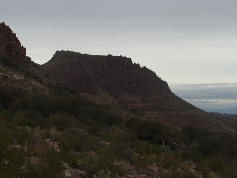
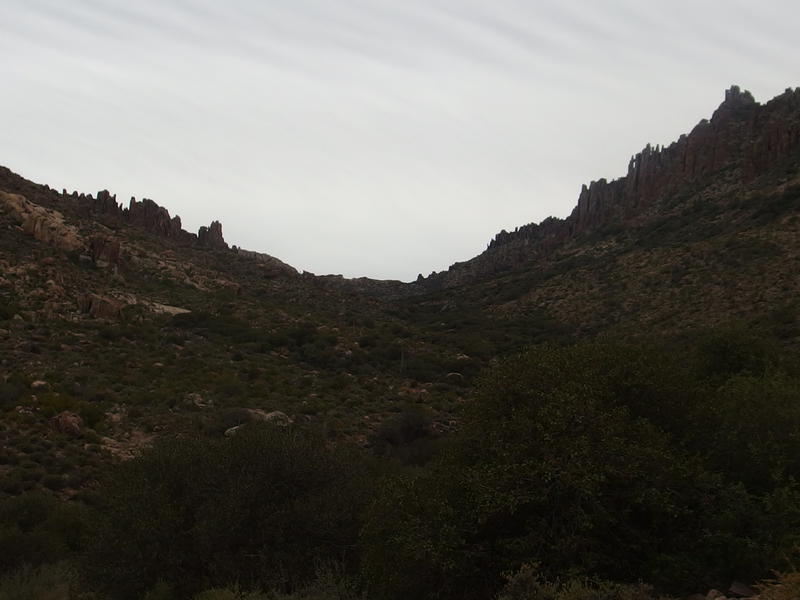
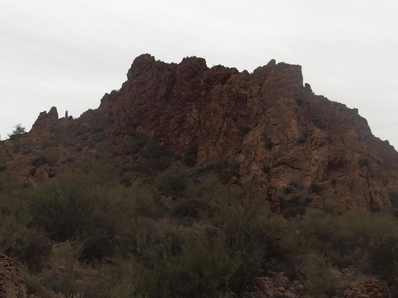
Peralta Trail began to get more interesting. Instead of sticking down in the dry canyon below it began to slowly curve to the left, along the wall, and even climb a little through a little pass between a steep hill and a mass of hoodoos that could be mistaken as a little mountain. Beyond that little pass the trail wound along a ridge, hiding any more views, before suddenly opening up within a mile of Black Top Mesa.
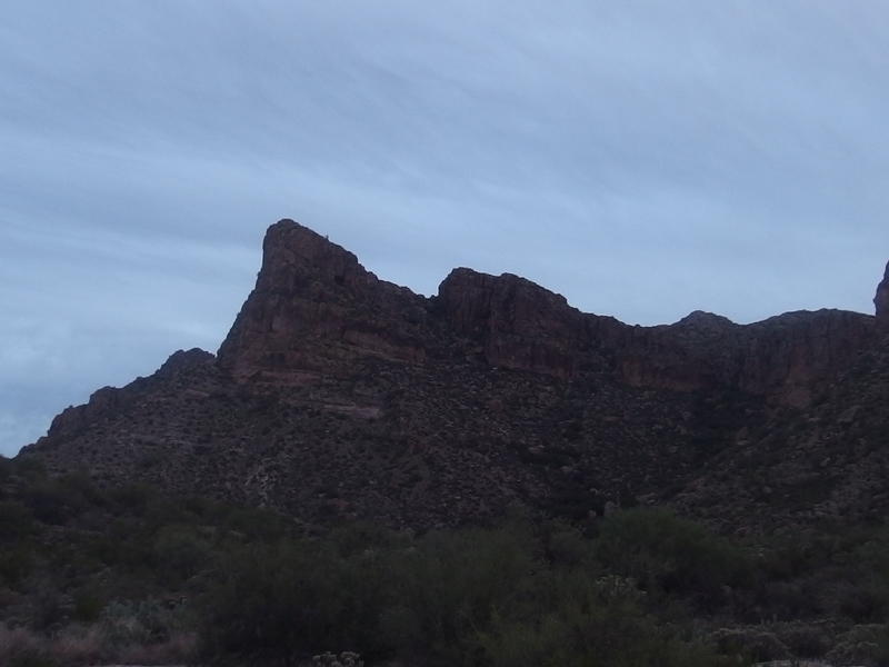
Yellow cliffs along the hulking Black Top Mesa
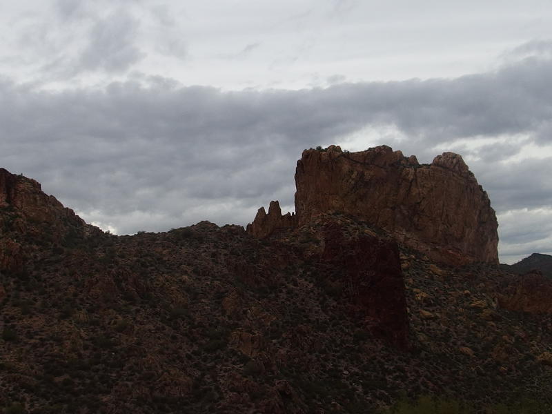
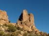
Man, Black Top Mesa is impressive from below. Chris and I have been here too, hiking in from First Water Trailhead to check out the Spanish Hieroglyphics on the top, and we had no idea just how hulking this thing was. The top of the thing may be dark from black volcanic rock and desert shrubs, but the sides were sharp yellow cliffs ending in piles of dark rubble. The trail winding up the rubble was barely visible from here, a lazy switchback that would eventually lead up and through the northern pass.
As I stood and looked at the mesa I saw something surprising - two backpackers slowly making their way up the switchback. They were going the same direction I was, though I'm guessing they had come in from First Water. I would have seen them earlier if they started from Peralta. If I shouted loud enough they could probably hear me over the canyon. Eh, I kept my mouth shut. If I moved fast enough I may catch up to them and get some insight on good campsites and water ahead.
Little jags on Palomino Mountain
With a refreshed purpose I zipped along the trail, quickly passing under the mediocre Palomino Mountain (next to Black Top Mesa most mountains look mediocre) and then coming to a trail junction with the famous Dutchman Trail, 104. This trail takes a roundabout way through the western Superstitions and connects First Water and Peralta with minimal elevation change. The Peralta Trail ends here and I jumped on Dutchman and started up towards the pass.
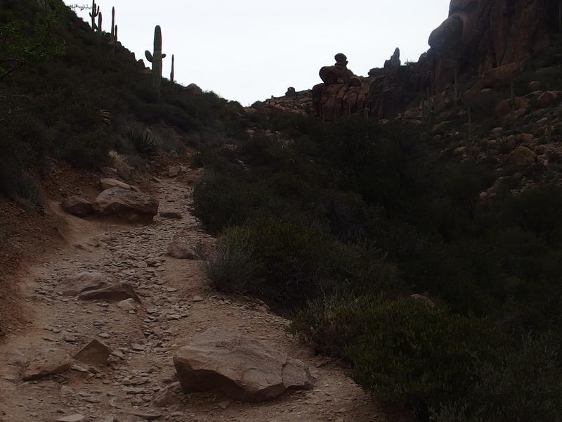
Dark trail up to the pass
Looking back west at Palomino under the dark skies
This was the first major elevation to deal with since climbing Fremont Saddle and it didn't feel good. Which was worrying. It's only 300' or so and shouldn't feel this tough. Hauling a pack of gear up hundreds (or thousands) of feet isn't exactly easy. If I ever want to do something serious like the John Muir I may have to do some actual training.
Thick green along the trail in the saddle
Freshly damp from the climb I topped out of the pass and looked around hopefully. No other backpackers in sight. Oh well, they couldn't be that far ahead of me. I headed through the thick green vegetation of Upper Black Top Mesa Pass with quick steps. There wasn't much to see here, the bulk of Black Top Mesa hidden from sight and Weaver's Needle more blocked than not. I soon bumped into Terrapin Trail, which leads past the east side of the needle and meets up with Bluff Spring, and kept on Dutchman.
Huge boulder towering over the meager trail
It was a few minutes past the Terrapin Trail that I bumped into the two backpackers resting in a small clearing. They looked exhausted. After a few words they were already asking for water - one of them was all out and the other didn't have enough to spare. Two of my five liters was already gone from the hike, so I gave them a liter. If Charlebois Spring had water we could fill up soon - otherwise, all three of us would have a tough hike out tomorrow on my remaing two.
Once the water was figured out we chatted about our evening plans. All of us were planning on pushing through to Charlebois. And we had less than twenty minutes of daylight left. There was no campsites in sight so we had little option but to push on. Marsh Valley, which I had heard was great for camping, could work in a pinch.
Sharp spurs reaching out from the cliffs of Bluff Springs Mountain
The three of us continued on together. They were friendly enough, two older men with some good stories about packing in the Grand Canyon and the Sedona area, they just hadn't been prepared for the difficulties of the Superstitions. The one that had run out of water had only brought two liters to last ten miles and an overnight, a risky gamble for backpacking at best. I decided to stick with them for the time being. It was nice to have company, we were all headed in the same direction, and I was still thinking that they would need some more water later this evening.
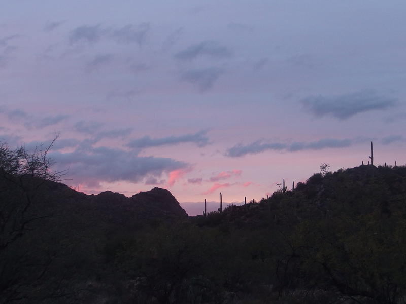
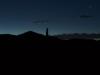
Exciting pink sunset beyond sight
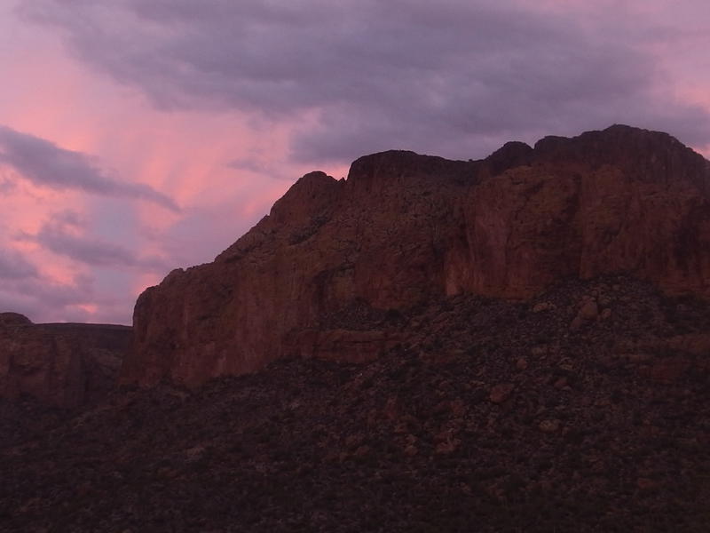
Pink skies lighting up Black Mountain
As we headed down Needle Canyon and slowly turned with the base of Bluff Spring Mountain the sunset began to show off. All day it had been grey and overcast, gloomy and threatening, and now the pink lights began to play. They were beautiful, playing on Malapais and Black Mountain, and were also a reminder that we were running low on time. It didn't take long for the pink lighting to be replaced with a slowly dimming dark blue.
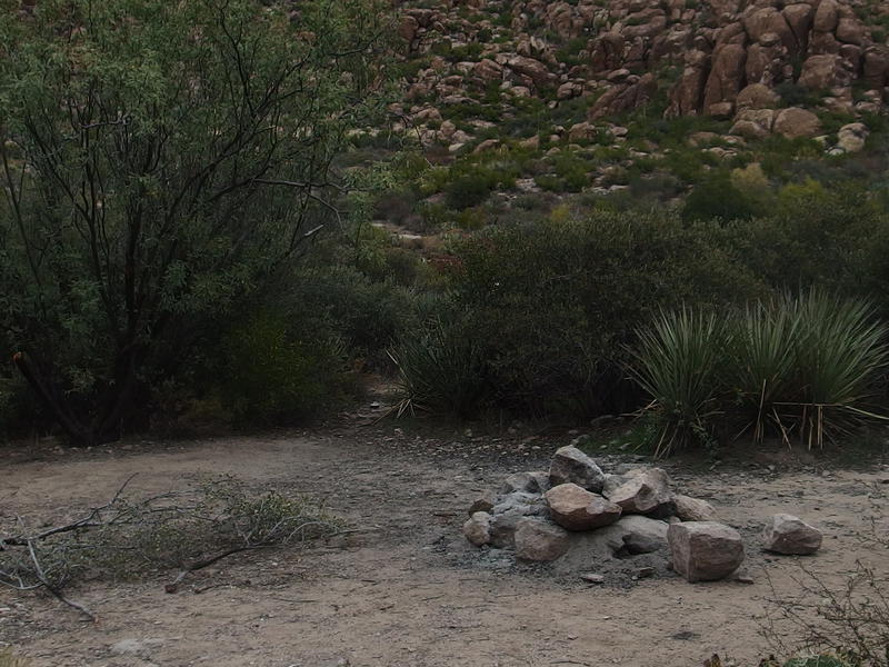
When we reached the trail junction with Calvary I knew we were close to Marsh Valley. A few minutes later and a few campsites showed up. We had a brief discussion on whether or not to continue to Charlebois. It was only a mile or so up La Barge, an easy trek along a flat trail, yet we were all ready to be done. The three of us split, set up our tents, and then reconvened for dinner.
This was a surprising turn of events. I had planned on a lonely weekend in the Supes, the first night a hard drive to a natural spring, and now I was camping with two other men at Marsh Valley and discussing ultralight gear. They started a small fire with some loose brush and we stayed up a few hours in the cooling temps chatting. When I finally broke off to my tent it was with no small amount of reluctance, even if the sky was starting to spit bouts of sprinkles. I went to bed that night smelling like woodsmoke and warm, thankful for their evening company, unaware of the nightmare I was to face tomorrow.
Comments (0)