Rainy Supe Loop: Wet Slog up the JF Trail
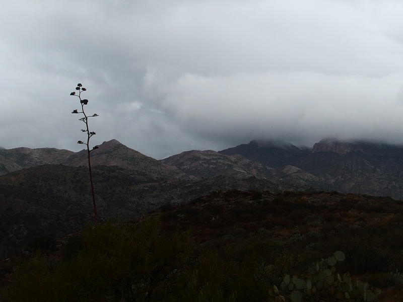
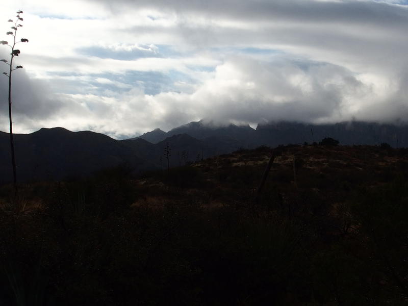
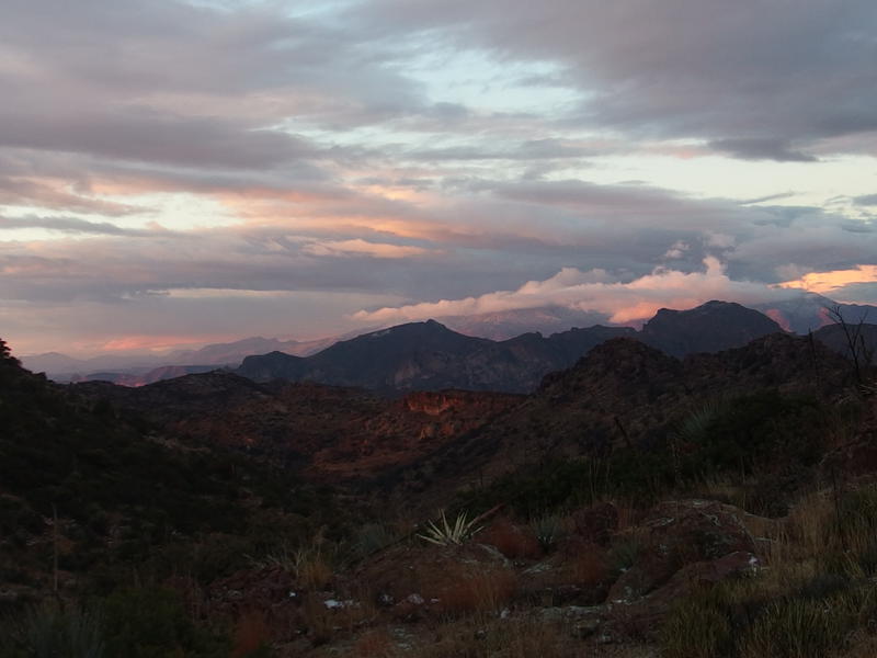
Rain drummed hard on my poncho as I slogged south on the JF Trail in the heart of Superstition Wilderness. I was so sick of being damp and cold. Six hours of rain with only two brief, twenty-minute pauses had sucked away most of my motivation for this trip. I kept my head low, glancing around occasionally to check on my route direction, and slogged south on the muddy trail.
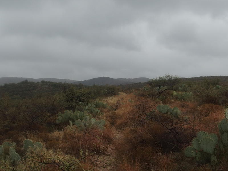
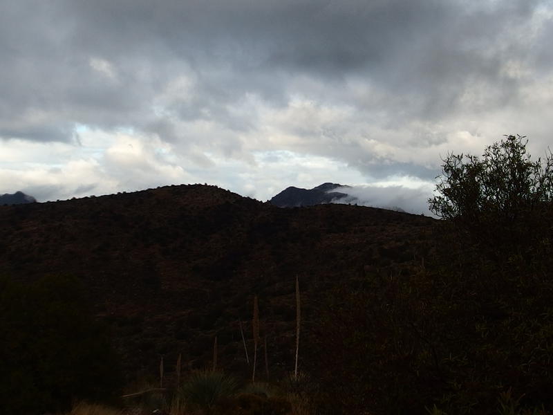
Dark, cloudy skies over the JF Trail
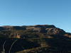
The JF Trail is an interesting one, a trail that I would have been more engaged with if I wasn't so miserable at the time. Under ten miles long, it is one of the shortest north-to-south routes in the Superstitions, assuming that you can drive the 3-ish miles of FR 213. FR 213 is one tough drive (more on that later). Starting at the end of this road, the trail slowly climbs up a set of hills and passes Clover Spring before making it over the first unnamed saddle around 4400'. The trail then plays along a narrow ridge, circling around an unnamed creek and nearby peak, and then goes through Tortilla Pass next to La Barge Mountain. South of the pass is a long downhill trek to Randolph Canyon and Woodbury Trailhead.
Along this route there are two trail junctions. The first one, north by Tortilla Trailhead, is with the Hoolie Bacon. This trail cuts southwest through Horse Camp Basin and Upper La Barge Box, which is a relatively short distance from Peralta Trailhead. This trail would also cut a ton of miles and elevation from my planned route for the weekend. The other trail junction is at Tortilla Pass and goes northeast into Roger's Canyon near the old cliff dwellings. That was my initial route plan, to head into Roger's Canyon from the pass and then hike up to Roger's Trough, and I was at least three hours behind schedule for that.
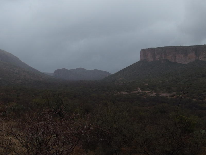
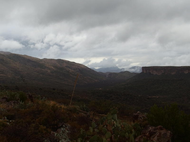
Sad look down at the trailhead
When I reached the first trail junction, where Hoolie Bacon cuts off, I stopped and looked around. Everything around me was grey and gloomy, with no hints of clearing or sunshine. The wind whipped down the exposed hills and my poncho flapped restlessly. I didn't know much about Hoolie Bacon, just that it would cut out some distance, and I looked at it with narrowed eyes. It was so tempting to turn here and cut my weekend short. Shoot, there was even a chance I could make it back to the van this evening. Meh, staying on the JF Trail would make a better story. I picked my trekking poles back up and continued south.
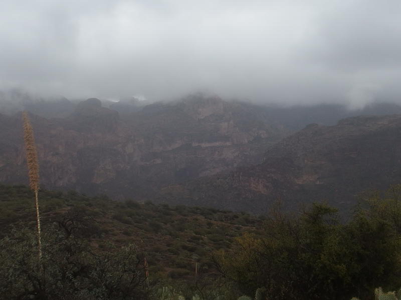
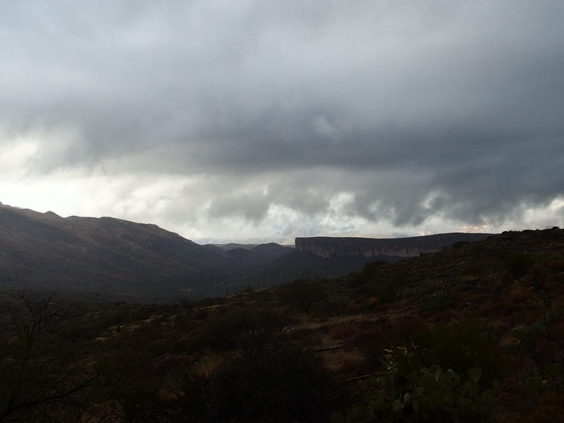
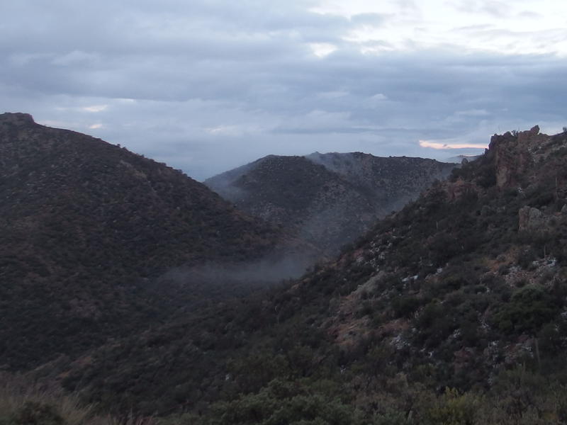
A deep and misty Fish Creek Canyon
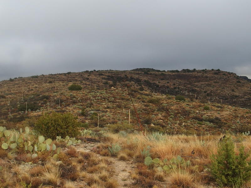
Bizarre coloring on the nearby ridge
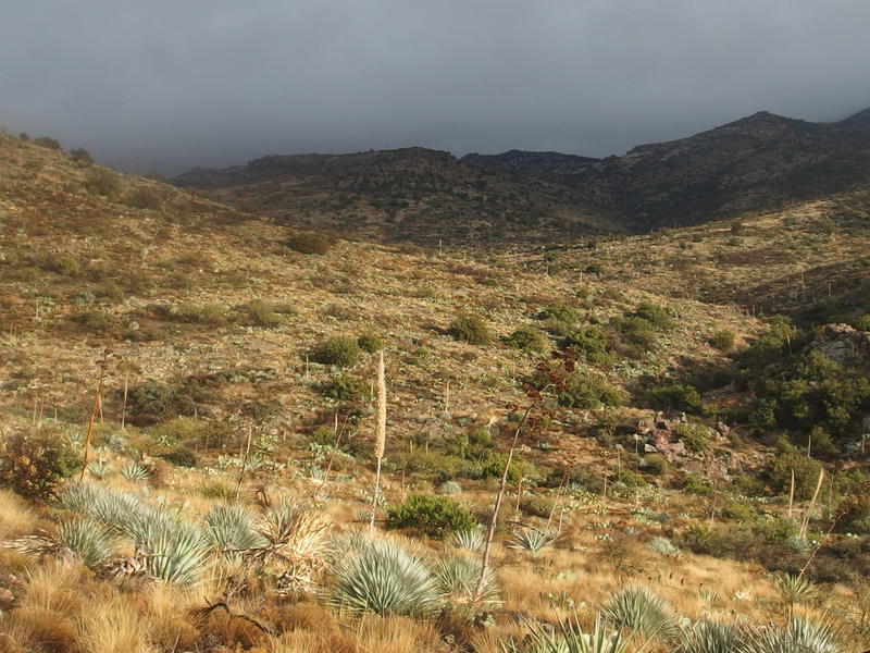
Some interesting formations began to show up as I gained elevation. To the east was the formidable wall opposite of Fish Creek Canyon. Like, really formidable. From this distance it just looked like an insane collection of cliffs and bluffs heaped on top of one another. Another destination to add to the list. To the west was a weird bluish-white hill. I think it was Horse Ridge - too close to be Music Mountain - but I had no idea what kind of rock would be that blue. Perhaps it was a combination of the weird lighting and limestone.
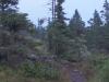
The rain eased off so I pulled out a bag of beef jerky. I wouldn't have time for a restful lunch (and brunch was only like two hours ago) so this would have to do. The jerky was tough and greasy and fantastic. The trail climbed slowly and was well-defined, much easier to follow than Peter's Trail this morning, and I ambled on with a lazy gait.
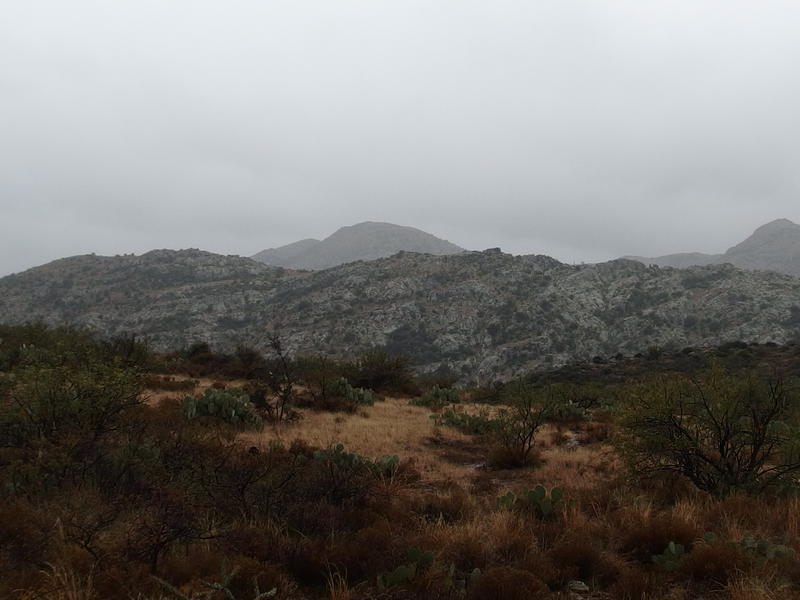
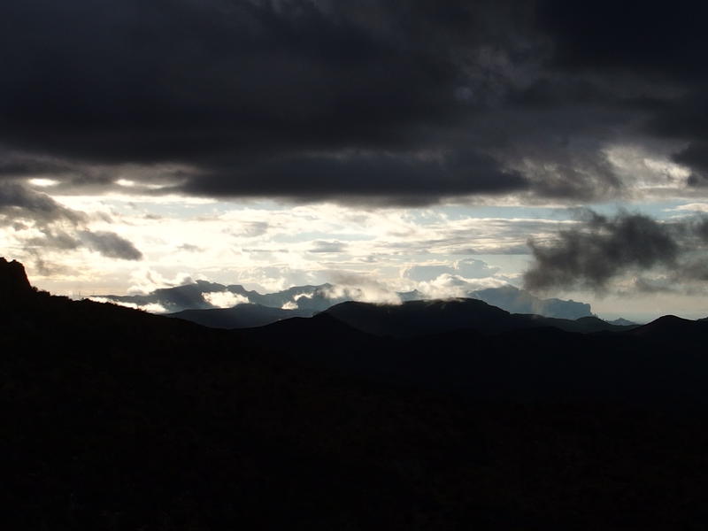
More clouds to the south
Some possibly clearing skies to the north
An hour after leaving Tortilla Trailhead things were looking much better. To the north many of the lower clouds were scurrying away to the east and the sky was even starting to brighten up. Things were still thick to the south, heavy grey clouds grouped around distant mountain peaks, yet I held hopes that they too would clear up. Maybe, just maybe, I would see some sun this evening.

Rain-cleaned rock across Fish Creek
With the slowly-clearing sky more of the desert colors came out to play. The wet rock formations, especially over in Fish Creek Canyon, were unnaturally contrasted after the all-day gloom. Even the brown brush and prickly pear cactus seemed shiny and happy. Fueled by the changing weather and delicious beef jerky my spirits began to rise.
Then, after another bit of climbing, I looked back at Tortilla Trailhead and saw the impossible. Sunshine to the north, bright on the lands around Salt River. Dang. If I was in the Four Peaks Wilderness I'd be basking in that warmth right now. Well, I didn't have long to wait. Twenty minutes later and the hills along the JF Trail also began to glow.
Sunlight across Salt River
Hopeful light along the trail
With the clearing skies I paused to look around. Most of the significant peaks had been hidden from me all day, hidden by thick clouds and low visibility, and it'd be great to see what I've been missing. I was in a brand new part of the Superstitions with all sorts of new formations to guess at. Some of the clouds were stubbornly holding onto the higher elevation, but I'm pretty sure I could make out sections of the Ridgeline far off to the west. That would be an awesome sight from this side of things - the east side of that ridge with Phoenix beyond.
Semi-hidden mountains to the west
I felt much better about my decision to continue on with the JF Trail. With a bit of luck I may even make it to my original destination of Roger's Canyon, six or seven miles ahead of me. Polishing off the jerky I started rolling down the trail, pushing forward with the trekking poles, doing my best to burn up the distance on the uphill trail.
Sun continued to lighten up the path intermittently, a few minutes here and there, just enough to warm me briefly before a cloud passed in the way and a chill descended over me in a quick shudder. I kept my eyes forward. These slowly rising hills had to end somewhere, somewhere near the bulk of La Barge Mountain, and if the southern mists would clear for just a minute I could get an idea of how much farther I had to go.
Finally, a glimpse of sun
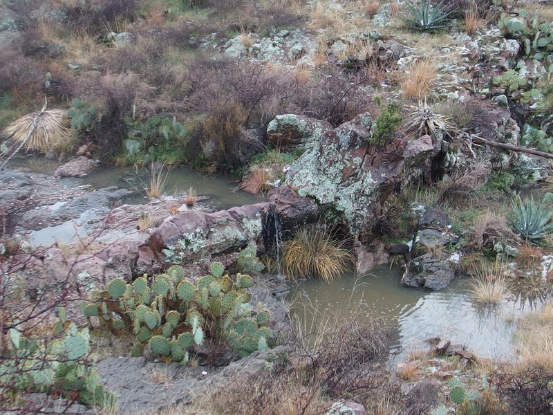
Dripping waterfall at Clover Spring
A small creek and waterfall showed up and surprised me first. Oh yeah, Clover Springs. This is a weird natural spring over 4000' high that is apparently fairly reliable. You usually find the springs down low at the bottom of mountains, where an entire chunk of land can squeeze out a bit of water, not near the top of the hill. Anyways, this spring was definitely flowing today, even looking a little muddy from the heavy rains of the day.
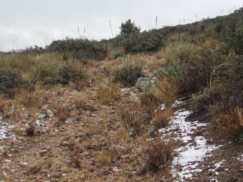
Patches of snow along the JF Trail
Beyond the spring was snow. Snow was unexpected. It was wet snow, and not much more than a dusting in a few spots, yet it was snow. Perhaps all that cold rain had actually been snow up here, and if I had been up this way a few hours earlier I could have experienced an actual blizzard in the Superstitions. It definitely felt cold enough for a flurry, even with the occasional sun. Another reason to push hard on this section of trail - tonight would be a cold one, especially this high in the mountains.
Cold would have been okay on a normal day. My sleeping bag was rated down to 20° F, my tent was waterproof, and I had a down jacket for putzing around camp (though the jacket is most definitely not waterproof). The problem was wet. I had packed my tent wet this morning, most of my clothes were damp, and I didn't even want to check on my sleeping bag. If it dipped below freezing I'd have a rough time getting moving in the morning.
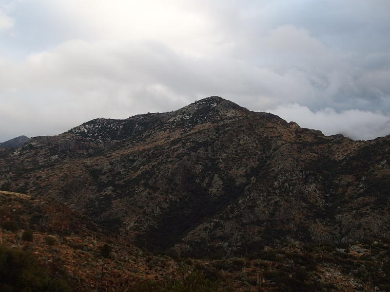
My trail crested, the southern skies cleared, and I got my first good view of the mountains ahead. There was a single peak out there that looked an awful lot like La Barge Mountain. Well, it seemed to be in the right location. Clouds steamed off of it and the whole thing looked pretty foreboding. I didn't have to climb the thing, just walk past it, so I shrugged it off. It didn't seem that far away and I still had an hour until the sunset.
Clouds roiling from the dark mountains
The Superstition Ridgeline, many miles to the west
The view to the west was captivating. I could make out the entire Superstition Ridgeline, from North Peak on the right to South Peak on the left, and every little dip and rise in between. Phoenix wasn't quite as easy to make out, between the smoggy haze over it and the angle of the sun. No big loss. In between me and the Ridgeline was some darker hills that I couldn't name, probably Music Mountain and Bluff Springs, I just couldn't tell one from the other from here. I could make out much of Peter's Mesa on the right, a long dark saddle, and eyed it with disdain. Under better circumstances we could have been friends. After this morning, though, I wasn't about to treat it kindly.
An unnamed snowy peak that should have been La Barge
I reached a saddle and peered south. Damn. That single peak I had seen earlier was just an unnamed hill that was hiding the real La Barge Mountain behind it. Not only did I have to circle around to the left, I had to avoid dropping too far into a very deep canyon right in front of me. There was still miles to walk before I reached Tortilla Pass and the sunset was quickly approaching.
Rocky exposed sections replaced the grassy knolls that I had gotten so used to on this trail. I had to hunt a few times for cairns to figure out the way forward, something I was in no mood to do, and the trail seemed to sneak up and down the side of the ridge like it wanted to shake me off. The sun continued to dip, casting evening hues across the distant peaks in the west, and I started to acknowledge a sad fact: I wasn't going to reach Roger's Canyon today.
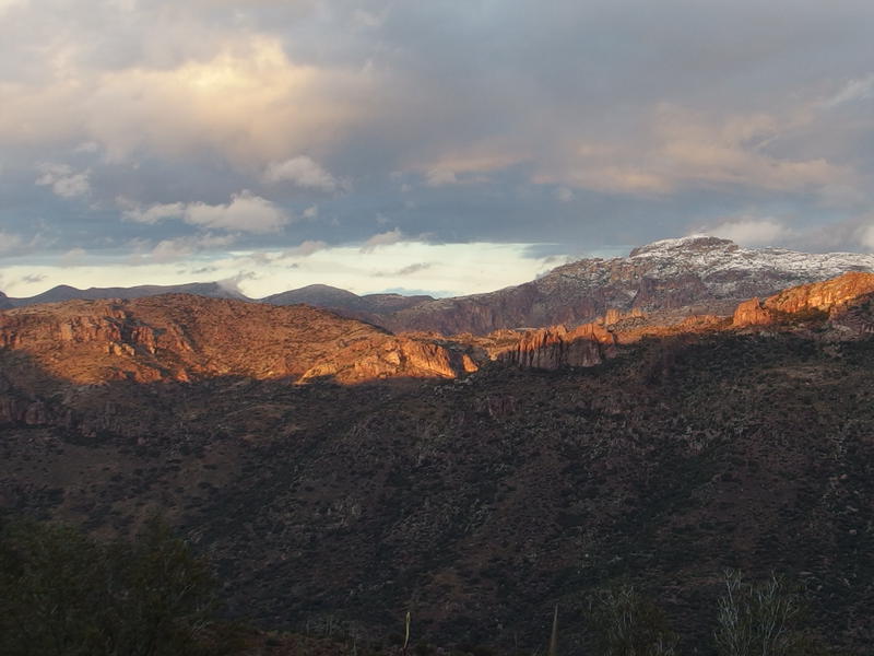
Dying sunlight across Goat Canyon
The plan had gone so, so awry. From Charlebois Spring to Angel's Basin in the canyon is only 17 miles. A pre-dawn start, moving at 2 miles an hour (which accounts for a few stops along the way), and I should have made it comfortably before sunset. But I didn't start at Charlebois - I started 1.5 miles away at Marsh Valley. Then the rainstorms and route finding on Peter's Mesa had obliterated my pace. For much of the morning I had been moving at closer to 1 mile an hour. Now I was stuck on the JF Trail, high in the mountains, still distant from Tortilla Pass, and the cold night was coming.
Smoking clouds lit up in pink hues
At least the day died with some fun colors. The skies in the west lit up in pink pastels, clouds lazily drifting off the distant peaks like smoldering volcanoes. There's a lot of fun stuff over the way, like White Mountain and Reavis, and I bet there was a lot more snow out that way. There was still some patches of it here. Which reminded me that I should be looking for a campsite. I really didn't want to camp this high up with the cold. Both Angel's Basin and Randolph Canyon would be much warmer then a mountainside or saddle. I just didn't know if I'd have a choice.
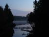
Mist already rising from the cold ground
The trail dropped below a ridge and I lost the sun for the last time. I still had my poncho and a sweater on, hoping they would be enough to keep me warm until I found a campsite. Things got rough fast, brush reaching over the trail and frequent washed-out sections, and I did my best to keep up a quick pace. I zipped past the mountain and soon found myself along a surprise canyon. Later I'd learn that this was the headwaters of Tortilla Creek and was the last of the stretches before the pass. Tonight it was just another thing that wasn't Tortilla Pass.
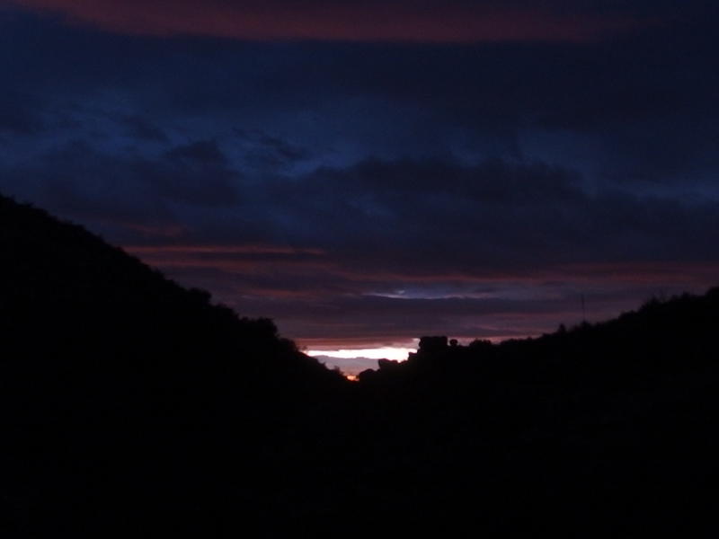
Last hints of the sun disappearing
The sun dropped to nothing and I pulled out my headlamp. This, this was exactly what I didn't want to happen. I was wandering along a new trail in the dark, the temperatures were dropping fast, and I had no idea where and when I'd be setting up camp. Oh, and dinner. Dinner would be nice to have at some point.
At the head of the Tortilla Creek I began to wander around and look for a campsite, never trying more than a few yards than the trail. The first few spots were too slanted or rocky to clear. Eventually I found a relatively flat slab of rock and a large fire circle that seemed perfect. I dropped my gear and shivered my way through a basic setup, using large rocks to stake down the corners of my tent, and quickly climbed inside to evaluate the condition of my sleeping situation.
Things weren't too bad. My bag was wet in a few spots from rain leaking in the sides of my backpack and my clothes were mildly damp. Man, I really need to get some waterproofing. I was pretty lucky on Isle Royale to escape heavy rain, but this adventure was a hard lesson. After setting up things I considered braving the night cold to make some dinner when the rain started up again.
Nope nope nope. I wasn't about to go back in the rain. Instead I curled up in the sleeping bag with some granola and a book and listened to the rain fall outside. I still wasn't sure where exactly I was. I mean, the trail seemed defined enough to be official, so I had to be on the JF Trail or past the junction with Roger's Canyon. Unless a use trail had tricked me and I was lost. It had been a long time since I had seen a trail sign and I had no GPS for confirmation. Eventually I drifted off to a fitful sleep and wondered what tomorrow would have in store for me.
Comments (0)