Dripping Springs Loop: Whiskey Springs
Temperatures dropped unnaturally low that night in the little valley near the Hoolie Bacon and Red Tanks Trail junction. Chris was in a sleeping bag rated to forty and I was in one rated to fifty and we both froze. When his alarm started going off it was a real struggle to get up and moving, to leave the relative warmth of our bags, and it was with chattering teeth that we packed up our gear. We had miles and miles before returning to Peralta Trailhead, and the more ground covered now in the cool predawn temps the less we'd have to go in the inevitable strength-sapping heat of the day.
We decided to top off back at the scummy green pond in La Barge wash before continuing on the trail, knowing that its questionable water could be the last water we would see for a few miles. As soon as we exited the little valley on our way to the pond the temperatures were warm. Not hot, yet nowhere as cool as our campsite had been. Apparently we found a natural basin for the cold air to settle in, something valuable to know during the hotter days of summer, and something that had left us shivering through last night. Chris topped off his water capacity while I held off. This water tasted like pond scum to me and I would rather go dry for a bit in hopes for Whiskey Springs than drink any more than I had to now.
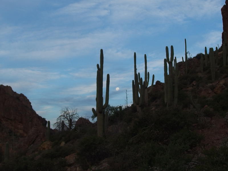
Morning moon hanging out with the cactus
Camp was packed up, water was filtered, and morning snacks were devoured quickly. My first breakfast was simple enough - a handful of chocolate-y trail mix and a chocolate bar laced with caffeine. Dark chocolate is one of my favorite hiking pleasures, rich in calories and tasty, though the high temperatures during this outing had melted every last bar and trail mix. They had hardened over the night and were considerably easier to eat now. Anyways, by the time we were actually ready to go it was edging close to seven and the sun was already starting to shine on the mountains around Upper La Barge Box. Our early start was a little less early now.
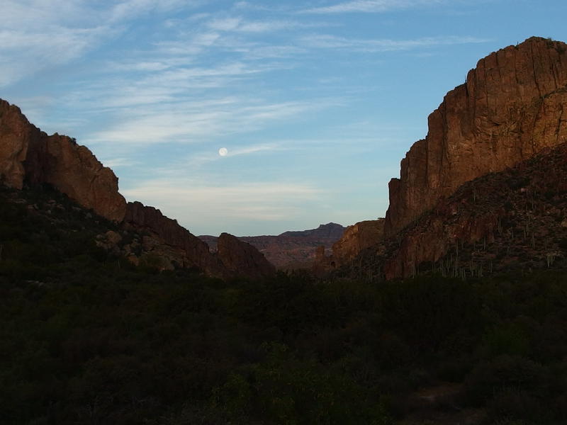
Looking through Upper La Barge Box
Last night we had agreed that the best way to continue our trip was to take the most direct route back to the parking lot. Instead of the long four-day loop on the Hoolie Bacon and past Tortilla Mountain and across Peter's Mesa we'd be cutting things short and completing the traditional Dripping Springs Loop via Whiskey Springs. Chris was exhausted from the high temperatures and rough terrain, both of which were more taxing than we had planned for. For anyone keeping count, this was now the fourth adventure in a row that I've failed on. That knowledge left a bitter taste in my mouth as we headed passed the junction of Hoolie Bacon for the last time.
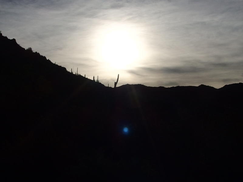
A hot, hazy sun rising in the east
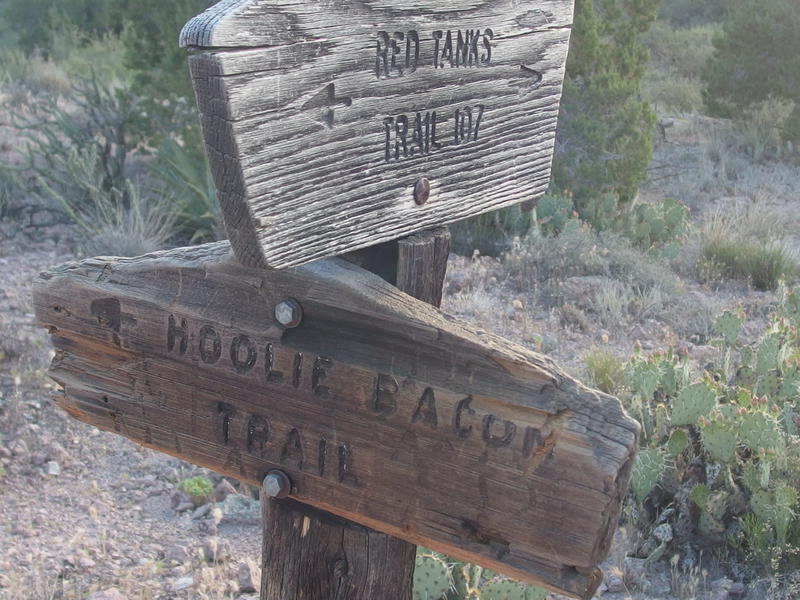
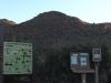
Trail junction with Hoolie Bacon
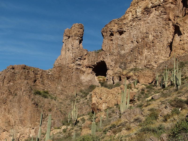
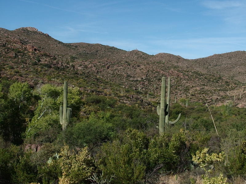
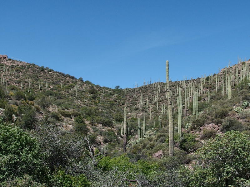
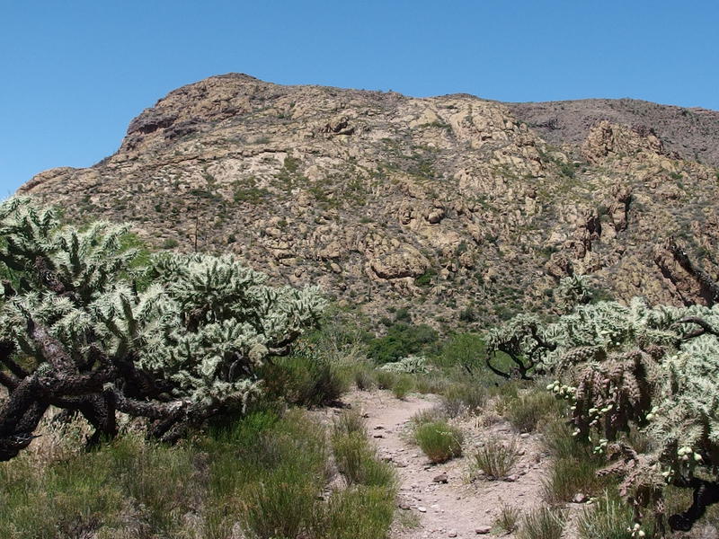
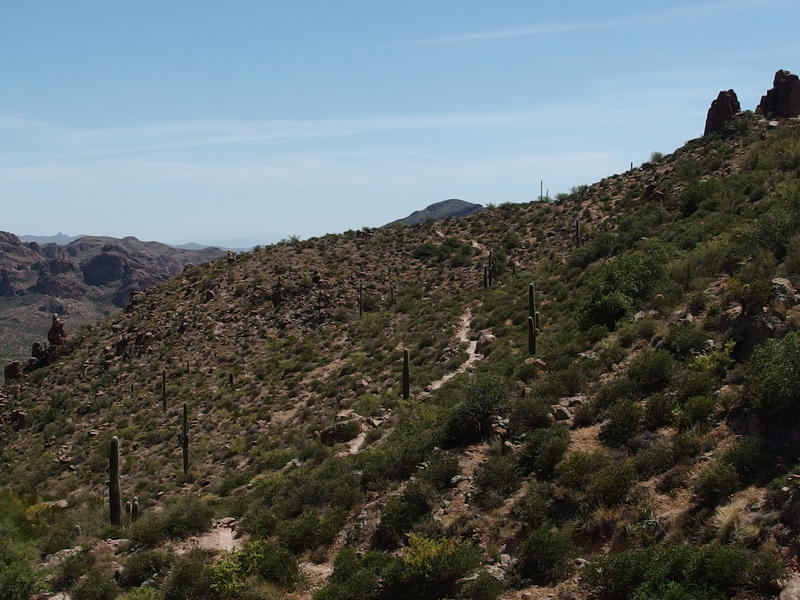
Beyond the junction the trail lifted up as it neared Herman Mountain. Ah, some names would help here. Upper La Barge Box is the name of an impressive canyon that La Barge wash flows through before it twists north. To the south of the Box is Picacho Butte, which sits on the shoulder of the ginormous Coffee Flat Mountain that we've been circling around this entire trip. To the north is the cliff-ringed Herman Mountain. So we were about to enter a canyon with a mountain on each side. As we topped the first ridge we got a good look down into the rugged canyon and couldn't help but wonder how the heck our trail was planning on getting through it.
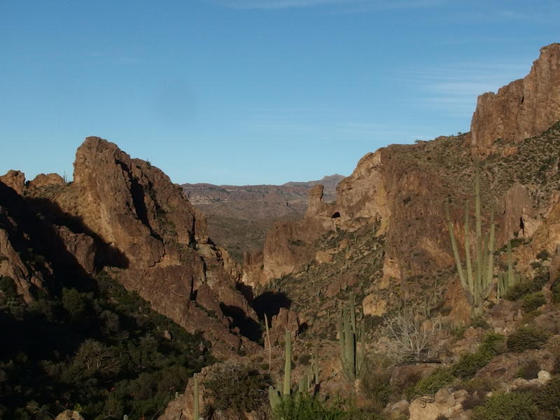
Steep canyon with Herman's Cave hanging out near the end
Our question was answered rudely in the form of a narrow roller coaster ride over loose gravel. Multiple little climbs showed up, too small to register on a topo map, enough to leech at our strength as the morning sun beat at our backs. Chris was not a fan. I tried to distract myself from our slow pace by admiring the clogged gorges climbing up Picacho Butte. There's logs of hikers tackling those gorges and bagging the very top of Coffee Flat, some doing the trek in from Peralta Trailhead and everything in a single day. Good grief that didn't look like fun.
Rugged gorges leading up Picacho Butte
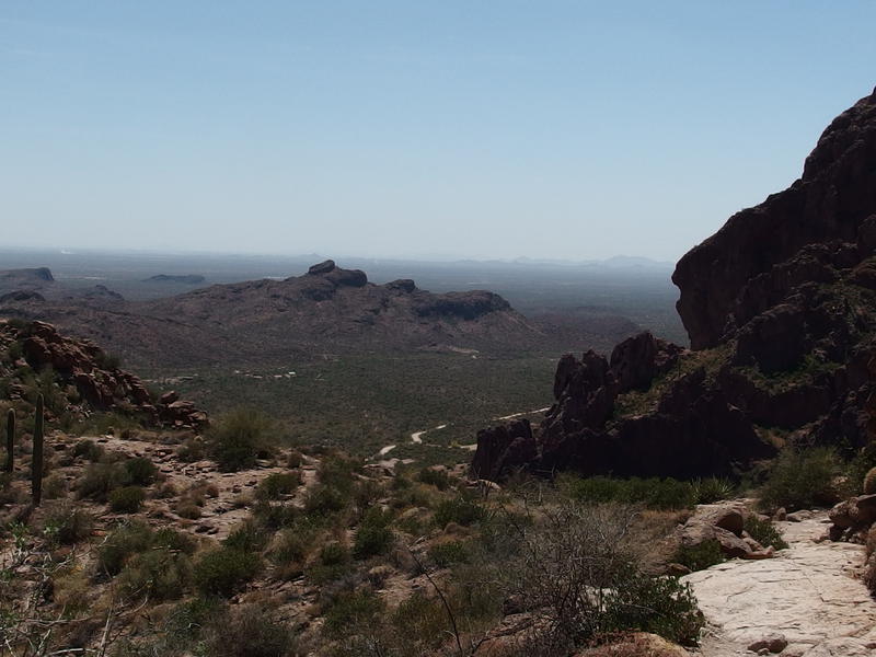
Looking east back out of the box
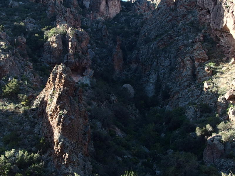
After one particularly deep dip down a brush-clogged gorge followed by a steep climb up loose rock I stopped and sat on a nearby rock and looked around. I had been glancing down at the wash far below us, checking to see if there was pools of water or an easy route down there, and hadn't really looked up at the northern wall at all. There were caves up here, some only twenty feet above our trail. I knew about Herman Cave further along, supposedly named after a member of the well-known Petrasch family, yet there was plenty of other caves along this canyon. Scrambling up to see them didn't seem like fun, not with the coming heat of the day and my low water. For now I merely sat and waited for Chris to catch up.
Looking up at the caves above the trail
We traveled up and down a few more rises, Chris voicing his concerns about making it out today as we went. I was feeling better and better about our decision to stick together yesterday. If we had separated then I'd be making my across Peter's Mesa today with the plan to meet Chris at Trap Canyon (or Charlebois Spring, which was another option). There's no way he would have made it to either today, coming up from here. As disappointed as I felt about our shortened trip at least we were (probably) both going to survive this.
Herman's Cave above
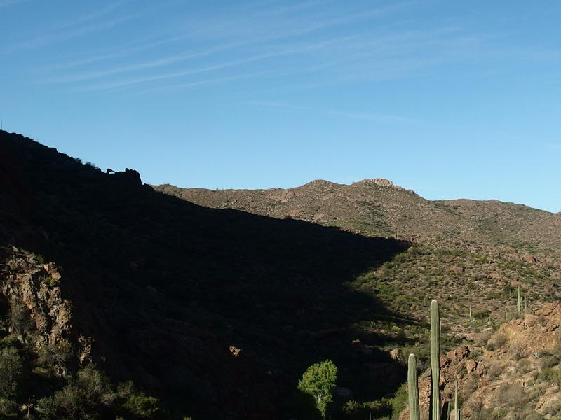
Boring hills to the west
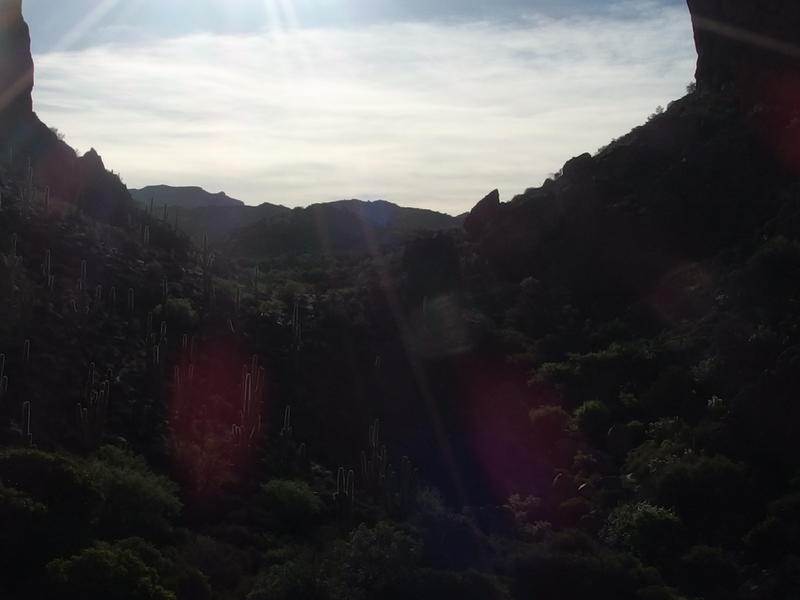
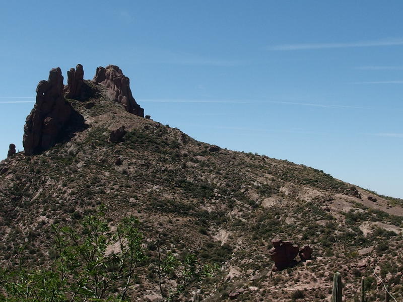
Herman's Cave showed up above us, looking as weird and looming as we could have hoped for, and with it the end of the canyon was in sight. When we first discussed this outing the cave had been a possible campsite, though it was ruled out after we learned that the floor was too sloped to support a tent. The view of the rising moon (and sun) would have aligned wonderfully, though. For now we just glanced up before starting a quick descent down into the wash below.
I went ahead here, slipping and skidding down to the floor of the canyon. Water was my goal. I had been holding off on touching my supply, hoping to dump the pond scum and filter something fresh. There was no water to find here, though. I ventured several dozen yards in both directions, peering upstream and downstream, and found no sign of water. There was only boulders and dry rocks and some thick vegetation that hung over our trail as it continued on the opposite banks. Guess there were a few more dry miles left for me to go. I came back just in time to witness Chris rolling his ankle on the last leg of the descent and hobble over to a nearby rock.
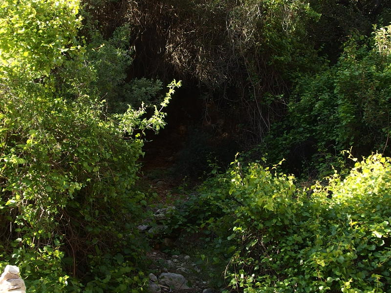
Thick vegetation near the bottom of the box
We were still a good six miles from the trailhead now, too far to worry about a sprained ankle now, though Chris's weak ankle is something that he's dealt with on our trips before. I volunteered to carry his pack, something we debated on previously on this outing and never actually committed to, though now it could be an actual safety concern. He worked it out. After resting for ten minutes, wrapping the ankle, and testing it on a few paces he decided to push on with his pack and all. Gratefully I followed him out of the wash. His pack had to weigh four times what I was hauling. No part of me wanted to have it on my back.
The rest of this leg was simple enough. The trail traveled under overhanging trees, wound through thick undergrowth, and crossed back over the wash before settling down near the junction of Whiskey Springs Trail. There were a few campsites near here and one small desert centipede, the first centipede either one of us had seen out on a hike. We eyed up the junction and camping options with a judging eye, both thinking of future trips out here, and neither one of us liked it. There was only one stinking pond of algea-covered water and not a lot of cover. This junction looked to be best passed on by and not a planned stop.
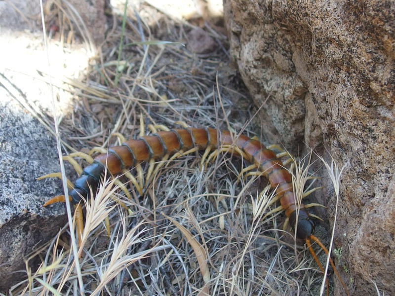
Little desert centipede along the trail
Trees and other greens along the wash
Chris seemed to be doing okay on his wrapped ankle so I made a suggestion. Instead of us hiking together at a slower pace I would zip up to Whiskey Springs at my speed and stop for awhile. I was planning on making coffee and oatmeal and would probably be there for close to an hour, while Chris was more interested in hiking straight through to the parking lot. We separated and I started on the trail alone. Man, I really hope Whiskey Springs turns out. I was thirsty and that liter of unfiltered pond scum was starting to sound appealing.

Rugged cliffs rising up around Music Mountain and Trap Canyon
Whiskey Springs Trail climbs slowly from the junction, heading south along a small wash for about a mile before curving west and quickly ascending a small saddle. Beyond the saddle is Miner's Needle and the Dutchman Trail, a well-traveled junction in the Superstitions. The springs itself is halfway down the trail so all I had to do was hike a mile and climb a few hundred feet to get my coffee.
The hike wasn't that bad. The views were great, the tall cliffs around Music Mountain and Coffee Flat, and even Bluff Springs Mountain was visible to the north, I was just dragging a bit. It was 8:30 in the morning and the air was already hot and I hadn't had my coffee yet. And I was pretty darn thirsty. There were a few spots where the wash faked me out, where some errant cairn or suspicious greenery pulled me down off the trail in hopes of finding water, and I was getting frustrated by the time I finally found the cement trough. There wasn't much water here - I had to push the grass to the side to get enough to fill my collapsible cup - yet I can't imagine seeing cement in the desert for nothing. This was Whiskey Springs.
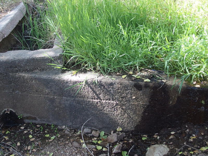
An overgrown trough at Whiskey Springs
I quickly filtered a liter, drank most of it, and then used the rest for breakfast. It tasted faintly of sewage and not of pond scum, so I guess that's a win. While my water boiled I set up a gravity filter for the next liter. See, I've switched water filters over to a Sawyer Mini, which combined with my two 1-liter Platypus bags makes for a simple squeeze filter system. I fill one with dirty, screw on the filter, squeeze into the other, and within a minute or so I have a liter of clean water. Anyways, I also have a length of cord to tie up the dirty bag and let gravity pull the water through the filter. Right now I don't have a length of hose to increase the pull, so it takes close to ten minutes to filter a liter with gravity, which works fine when I'm setting up camp or making breakfast. By the time my water was boiled and breakfast was put together I had another liter of clean to sip as I ate.
Chris showed up shortly after me, making great time on the trail, and we sat and chatted for a bit. He was perfectly happy with his water from our campsite this morning and left me to filter alone from the spring. I was in no rush to continue and dawdled a bit, so after a half hour he decided to push on. Another liter of water later and I was on the trail too, passing him by maybe a half mile down, fueled by oatmeal and hot coffee.
Tall, green trees growing around Whiskey Springs
Bulk of Music Mountain to the north
As I climbed up the saddle on Whiskey Springs Trail a new view showed up beyond the cliffs to the north. The peak of Music Mountain itself was on the horizon. That's another peak I've been itching to bag for some time now. I meant to do it last year when Chris, Kirsty and I came in from Tortilla Trailhead, and again on this trip. The views of Malapais and Tortilla Mountains would be amazing, as would the back of Bluff Springs with Weaver's Needle poking out. It teased me now, so close yet so unobtainable for today.
Last saddle to ascend on Whiskey Springs trail
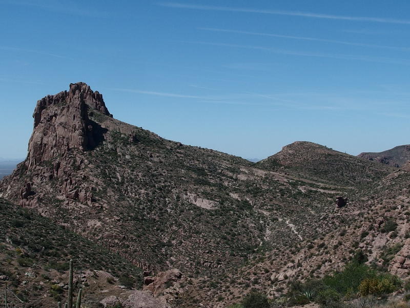
The dramatic back slope of Miner's Needle
Refusing to stop for a break I pushed on, challenging myself for no good reason to hit the saddle strong. When I finally crested I had to pace around a bit to get my breath under control instead of just flopping down - besides, there were no rocks or boulders worth flopping down onto. The view over at Miner's Needle was magnificent. That long, straight slope is hard to capture from Dutchman Trail, but from here it was perfect. I drank in that view as I sipped on my water and then, after glancing down at Chris's progression on the slope, I continued westward.
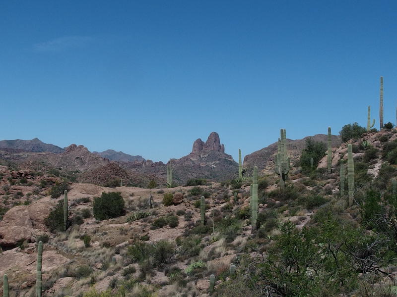
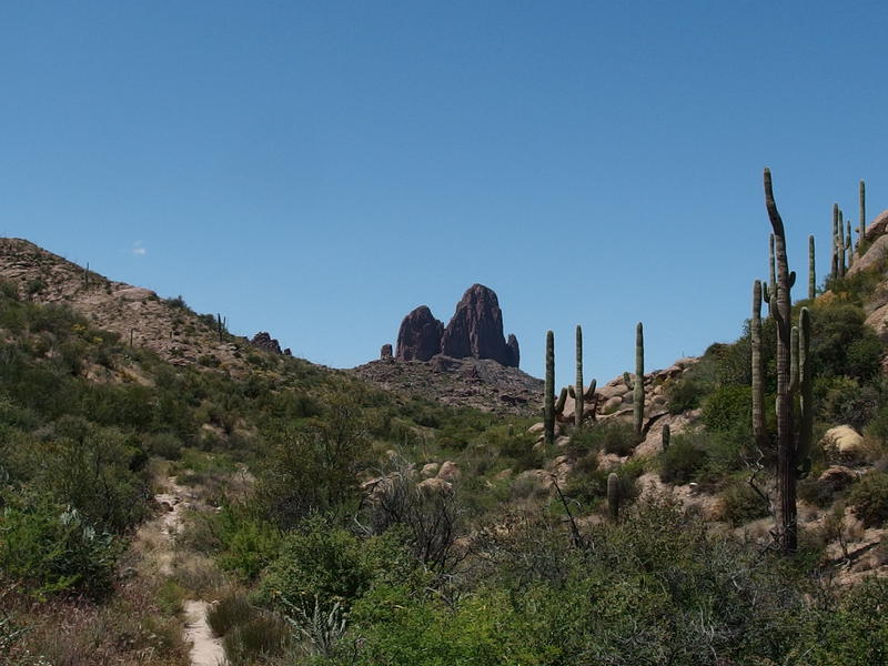
Weaver's Needle poking up in the west
The trail jumped around a bit, climbing a few rock outcroppings and showing off new views, including a surprise vista of Weaver's Needle. Didn't expect to see that guy today. Eventually it curved and descended, sinking down to the familiar junction with Dutchman. I trudged along quicker now, excited to reach that trail, and hiked right into the frame of a hiking couple taking a kissing selfie. First people I've seen since that German lady in Barkley Basin and I ruin their photo. We talked briefly (they were actually hiking into Brad's Water, so I had plenty of water updates to share) and they set down the trail while I found a rock to lounge on under a bit of shade. Chris shouldn't be too long, so I pulled out my book while I waited.

Bluff Springs Mountain
Peeking up the back of Miner's Needle
From here there are two options to get back to the parking lot. Well, really only one that makes sense, I just like to be complicated. The most obvious return was to descend down Dutchman Trail into Barkley Basin and backtrack over mostly-flat ground. A more interesting route would be to head north towards Bluff Springs, west to Barks Canyon, and then south down the canyon and the so-called Cardiac Hill. The difference in mileage is minimal, though the latter route offers more scenery, a spring for water refill, and more hills to climb up and down. You can guess which one I wanted to do.
Chris showed up at the junction tired yet determined. He didn't want to stop long, just wanted to touch base with me, so we chatted quickly. He had four liters left and was set on doing the Barkley Basin route. I didn't like separating for so long (each route was over four miles in length), though getting more water seemed like the best option for me. I was down to a single liter of water and a refill at Bluff Springs would be prudent. So we split at the junction, me heading north while he headed south, with the hopes of rejoining at his car in two hours.
The trail to Bluff Springs
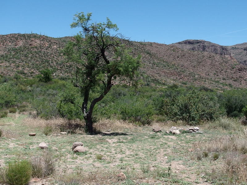
My trail north was flat, downhill, and easy walking. I zoomed down it, taking advantage of my trekking poles to push forward, passing several groups along the way. It felt good to stretch my legs without worrying about going too fast, with only a clear goal of getting more water in mind. It took no time at all to reach the cholla forest rise, and the trail junction with Bluff Springs Trail showed up shortly after that. To the left was the route down through Barks Canyon, but to the right Dutchman Trail led to Bluff Springs and water. Yes, the Bluff Springs Trail doesn't even go all the way to the actually springs. I turned right and continued down Dutchman, soon finding another trail junction with a lonely tree. I turned left near the tree, following an overgrown yet clearly marked path in towards the mountain, and soon found the spring.
Tree and clearing near the spur trail to Bluff Springs

A steady drip coming out of the pipe
Water dripped steadily from the metal pipe sticking out of the rock. Not quite as much as I had hoped for, yet enough to collect a liter in short time. It had a metallic taste, a nice change from pond scum and sewage, more like bad city water than anything else. I drank as much as I could before filling up to full capacity and heading out. Three hot miles left to go before the trailhead.
Back at the trail junction of Bluff Springs Trail I bumped into a group I had passed an hour ago up closer to Miner's Needle. Another young couple, these ones heading to Charlebois. I remembered that they were only bringing three liters along and gave rough directions to Bluff Springs in case they wanted to water up. They still had a few miles to hike too and their packs looked pretty heavy. Wishing them well I pushed on, all the while thinking of how Katie would fare out here. We've been talking about backpacking out here, just not sure how she would like the long days and high temperatures.
Getting closer to Weaver's Needle
The next mile passed by quickly. This trail was technically new ground to me even if it had the typical western Superstition feel. It wound in and out of a rocky wash, climbing up the banks before slinking back in for a bout of rock-hopping, with some thick areas and other open. The cliffs of Bluff Springs Mountain zoomed up above me impossibly high, and I had a hard time convincing myself that I had been up on that thing last year. When the junction finally showed up, the last junction of the trip, I stopped for a good break. I had a ton of food in my pack and more than enough water to have a quick lunch.
This junction is between Bluff Springs and Terrapin Trail. Terrapin heads north from here and hits the Dutchman (which curves far to the east before looping back) down by Black Top Mesa. Bluff Springs Trail bends south and enters Barks Canyon before dropping down to the trailhead. Terrapin Trail is another trail that I haven't been the full length on. I'm not doing good at the completionist thing.
Hot hills along Bark's Canyon
Barks Canyon was a hot and annoying affair. It was after noon now, the sun at its zenith, and hiking south in the open canyon felt like a trip through an oven. As I topped a small ridge and began the first of two long drops I felt something tweak in my right knee. Within a few yards that little tweak was a sharp pain that I felt on every downstep. Well, maybe Barkley Basin would have been a better route. I wondered how Chris was doing.
Winding trail working towards Peralta Trailhead
Looking down at the trailhead below
The knee felt better if I didn't bend my right knee on the downstep, so I adopted a half-limp stride to ease the pain. This would have been easier to do if I didn't have to drop close to a thousand feet. Distracted, I barely noticed the algea-covered pools in the canyon or the hulking rock formations. When I finally reached the parking lot, two hours after separating with Chris back at Miner's Needle, I was surprised to not see him waiting for me. Between filtering water and my knee I thought that he would have beat me here.
I sat at the trailhead for close to an hour, sipping water and letting my socks dry out. Heading over to Barkley Basin was something I really didn't want to do, not with my knee hurting and all, but I did have a liter of water left and could carry Chris's pack in a pinch. Luckily I didn't have to leave the trailhead, as he showed up on the hills above and descended down. He had run out of water in the basin and was only interested in hauling out of here. We left the Superstition Wilderness a day early and thirty miles short of our plan, both worse for wear, both aware that our window for backpacking here was probably closed for the summer. For the next five months we'd have to look further north or east for our outings.

Comments (0)