Copper Camp Loop: Climbing Squaw Flat
Copper Camp Trail was turning out to be a real mixed bag. Since leaving the shaded pool along Sheep Creek, where I had stopped for a quick breakfast and water refill, I had strolled along an easy path, hacked through overgrowth, crawled on all fours under low tree branches, and scrambled over loose slopes of rock debris. Even now I stood and looked at a wide, well-defined section of trail that was completely eaten up by a mix of thorny brush within a few yards. With a deep sigh I pushed into the brush, forcing my way through it as it grabbed and tore at me, trying to avoid hidden cacti underneath, which would force me to delay and pull out needles.
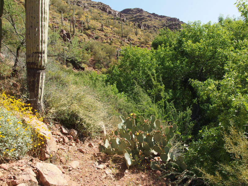
Tough going along the banks
All things considered this trail was in fantastic shape. It's located in a remote area of the Mazatzal Wilderness and probably sees less than a dozen hikers in a year. When it climbs along the banks of Sheep Creek, and later Copper Camp Creek, it does so over reinforced tread. Much of the route is even wide enough to handle pack animals. So far I had only seen one bad washout and a handful of overgrown spots, nothing some trail maintainers couldn't clean up with a bit of time. Where things got tough was when the trail crossed the riparian creek itself, when tall grass hid cairns, deadfall was common, and brush swallowed the route for long sections.
My impatience probably didn't help. I've grown accustomed to overgrown trails along creeks and usually try to save time by following the creek instead of hunting cairns, figuring that they both roughly follow the same route. This creek didn't take kindly to that. After a half hour of crawling and fighting through thick vegetation I gave in and looked for those cairns, searching for some way forward on the creek banks, trading in the overgrown shade for exposed trails.
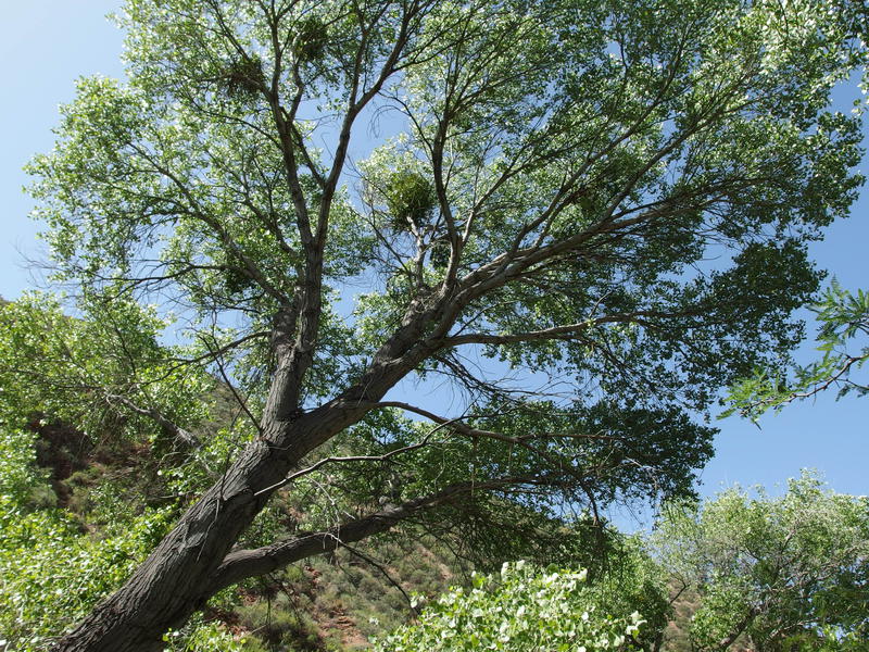
Huge sycamore rising above the desert creek
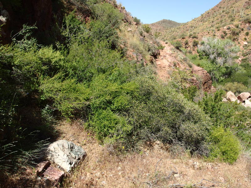
Assorted brush taking over sections of trail
The search was soon rewarded. After a difficult crossing and a small section of overgrowth, a wide path climbed up the southern bank that was easy to follow and offered decent views. In fact, it was almost too well-constructed to be a hiking trail. There are old mines further upstream, as well as some remnants of ranching, and I wonder if this path predated the wilderness and once served an economic purpose. It climbed up to a small saddle and then dropped back down, depositing me in a rocky section of creek without any hint as to how to continue on.
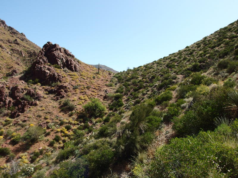
Climbing along the creek banks
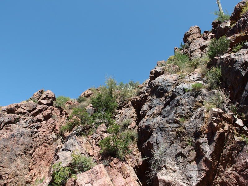
Steep, rocky banks along the creek
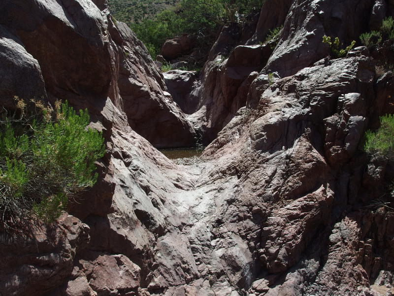
Rock pools blocking the way forward
I let my impatience guide me next and hopped from one rock to the next, curving with the sharp turns in the dry creek. A few minutes of this and I was faced with three rock pools separated by worn-smooth waterfalls and no easy way around. Climbing the slick walls with a backpack didn't sound like fun. Getting some water did. It had only been an hour since I left that breakfast pool, yet the hot sun was hot. I drank a few liters and filtered up to full capacity here, watching the water bugs dart below the surface and knocking a curious snake away from my pack before it could slither in.
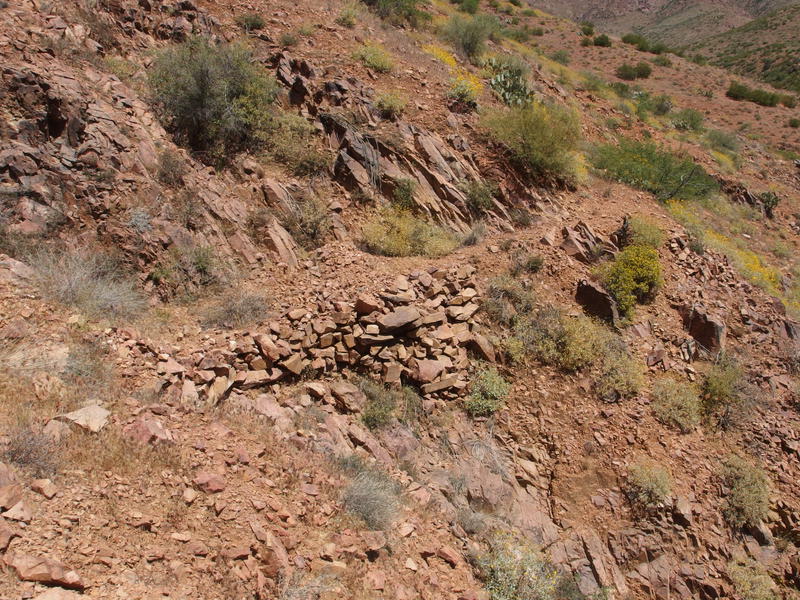
Section of well-constructed trail
Reluctantly I backtracked and kept a close eye on the opposite bank, trying to figure out where I had lost the trail. This was taking too long, so I picked a gnarly route up and hacked up the north bank and stumbled right upon a wide trail. Not sure how I missed its start. The trail climbed quickly, making a high detour of the rock pools below, before easing back down to the creek near the old loading corral. Finally, I was at the loading corral, only three hours behind schedule and under a much hotter sun than I had planned for.
There was a problem I had to face soon. This trail crosses the creek a few times and has minor climbs along the way before a sudden two thousand foot haul up to Squaw Flat. That section would be fully exposed to the afternoon sun. Yes, I did have an ambitious timeline when I planned this route, and it was all designed around avoiding that climb in the afternoon. Being behind schedule was not just an annoyance, it was a legitimate safety concern.
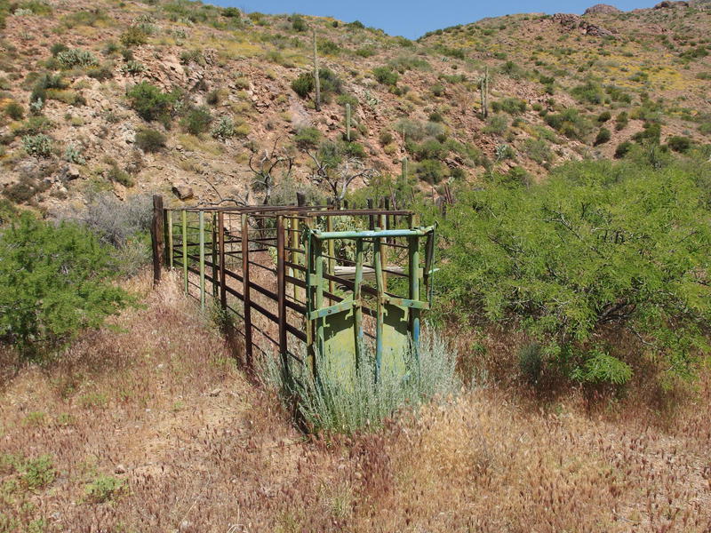
Part of the old loading corral
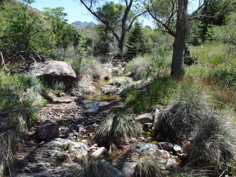
Running water and shade near the loading corral
Schedule was something future Jacob could worry about. Once I reached the loading corral I found my way to the old metal drums half-buried in tall grass and took a break, drinking a liter of water and munching on snacks. There was water flowing here, though I didn't filter any, thinking that there would be more water before that nasty climb. There wasn't. With two liters in my pack and a certain degree of dread in my belly I headed out, following an easy trail upstream as it cross and re-crossed the dry, rocky creek.
Sun beat down and my mouth grew dry and I pushed on. I was starting to get a feel for this trail. Plus the Copper Camp Creek, which had alternated between being too rugged or too overgrown to follow, was now just dry boulders. Following it for sections was nowhere as tough as it once had been. Before I knew it I was on the bottom of a hill, a cairn leading me up and away from the lowlands of the creek. It was two in the afternoon and it was time to tackle the hardest part of the hike during the hottest part of the day with only a few liters in my pack.
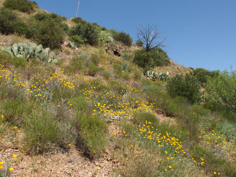
Steep going through flowers and cactus
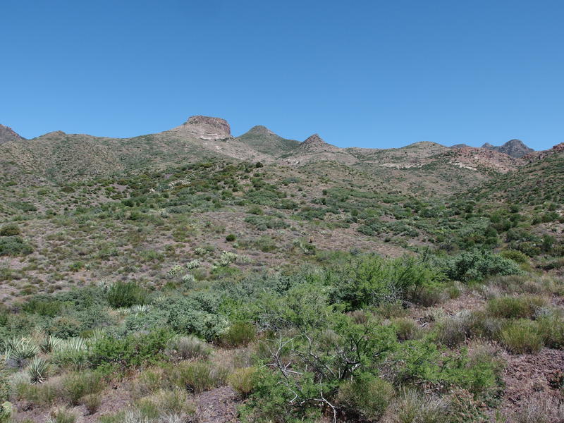
Start of the long climb
The hillside was covered in low shrubs and grass, nothing tall enough to give shade, just the right vegetation to hide a path and any cairns. Speaking of cairns, these stacks of rocks suddenly showed up in relative abundance. I could, for the most part, hike up to one, briefly look around to find the next one, and then continue up. It made for a stop-start pace that allowed me to catch my breath every few dozen yards and enjoy the changing views. Speaking of the views, as I climbed I began to get an awesome look at something jagged to the south that looked simply amazing. Once I get into off-trail exploring of the Mazatzals I might have to spend some quality time around the Lion Mountain area.
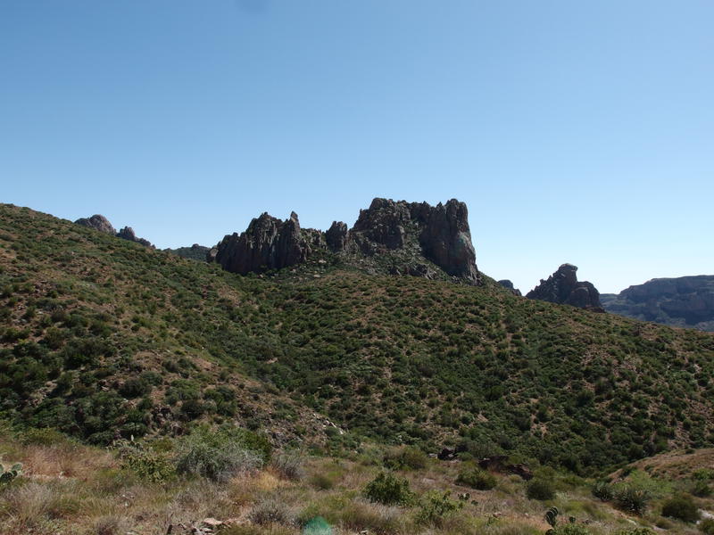
Jagged, toothy formations to the south
Rocks shifted underfoot, grass parted to expose old tread, and cairns led me up the hillside. I slowly crawled up the hillside like an old, tired snail. Even an ultralight pack can feel heavy under the Arizona sun. My knees, which had been sending warning signs throughout the morning, were a steady throb of pain with each step. The thought of water nagged at me from the periphery. There might be water on top of Squaw Flat. There was a spring marked two miles into it, though I had no idea if it was flowing this time of year. I tried not to think about that.
A thousand feet or more into the climb and a lone juniper showed on the hill. I quickly ducked under the branches and leaned against a large rock. Over halfway up deserves a reward, so I allowed half a liter of water. There was a great view from here looking west, out over the creek I followed in and beyond to Horseshoe Basin where I had started this morning. Once the sweat stopped dripping I lumbered back onto the trail, unwilling to pause for too long.
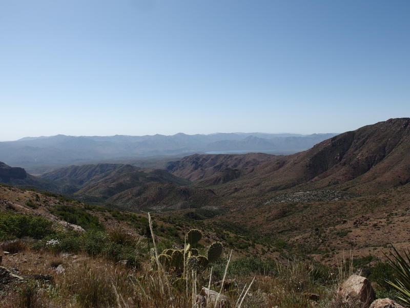
Long views back to the west, where it all began
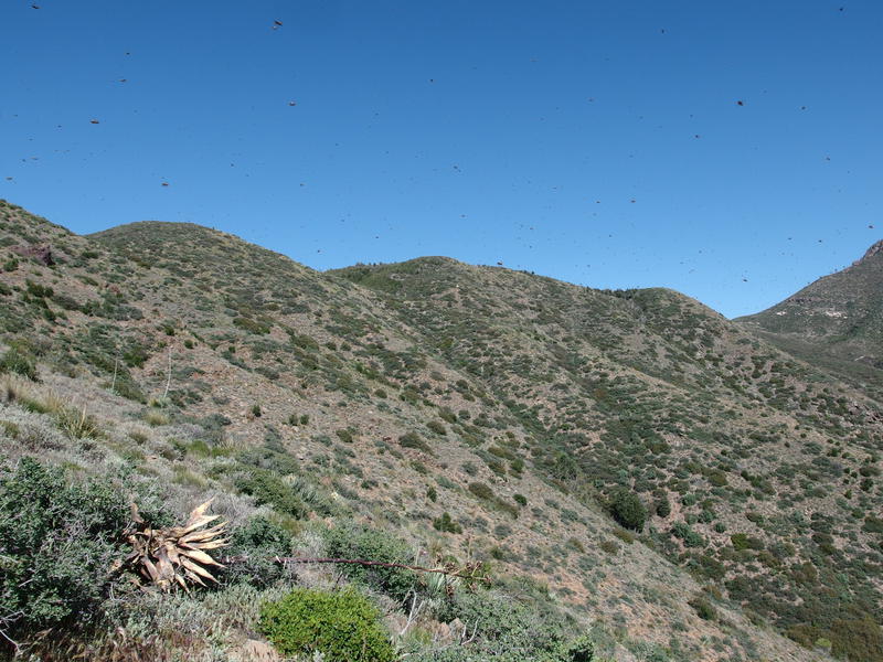
A bug-filled sky
Bugs were a surprising factor in this hike. There were a lot of them, especially now that the air was warm, and a healthy variety. Most of them were tiny gnats that swarmed to my sweaty clothes, with some common flies, bees, and others I didn't recognize to mix things up. None of them were interested in biting me. Besides tickling my skin and getting sucked in with some deep breaths they weren't even that annoying, just enough to make me thankful that I had brought along mild repellant.
My path began to swing along the southern face of the hill and I lost the western views, trading them in for thicker grass and larger shrubs of the highlands. It was easier going, though, and I even had a whole few hundred yards of level hiking that messed with my rhythm. One final, steep climb later and I crested onto Squaw Flat. Sure, there was some minor roller coaster hills up here, but my climbs would be measured in hundreds of feet now, not thousands. The worst part was done.
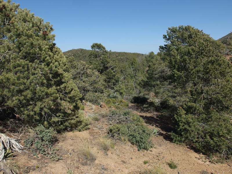
Healthy trees on top of the climb
Gone were the grass and scattered shrubs, replaced by mature pines that I could only guess were junipers. They weren't terribly tall, maybe fifteen feet at most, and their branches were too thick to provide much shade along the trail. Even the ground was drastically difference on the flat. Instead of the mixture of gravel and boulders it was orange-brown dirt, finely ground rock of some sort, and the footpath made a deep grove in the soft stuff.
After a heart-stopping encounter with a yellow rattler I cruised along this section. My legs didn't have much energy in them and I could feel the slight dizziness of dehydration so I attributed my pace to mere forward momentum left over from the climb. At the highpoint of the day, a semi-impressive 5450', I did find a break from the sun and stopped to finish off most of my water. Then it was back to the winding track and the dream of a spring.
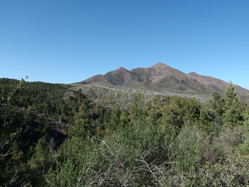
Line marking the extent of the wildfires
The trail was pretty easy going with only a few spots where overgrowth and disuse forced me to hunt around for a cairn. It was particularly difficult to distinguish between frequent shallow, transient washes and the route. Still, compared to much of today's hiking, things were good. Then I passed a line where the green trees were replaced by white, scarred trunks, the boundary of the 2012 Sunflower Fire. Like a switch my hike instantly changed. Washouts were more frequent, the brush aggressive, and deadfall became a constant annoyance. Less than a mile left of Copper Camp Trail and my pace slowed to a crawl.
Guessing more than knowing where the trail wound I pushed further east. A dry creek that I was following turned and dropped over a rocky cliff so I gave it a wide berth and hacked up an overgrown hillside. There was a brief respite under tall ponderosa, then a direct descent along a ridge to catch back up with that creek. The creek was choked with deadfall and the trail on the banks was overgrown with manzanita. I hacked, pushed, and swore my way along. Without any signage a trail junction then showed up on the northern bank. I checked the GPS and saw that I had just finished Copper Camp Trail and Sheep Creek Trail now took over. There was a small seep here on the creek bottom so I tumbled down and began the filter/drink cycle until my belly was stuffed.
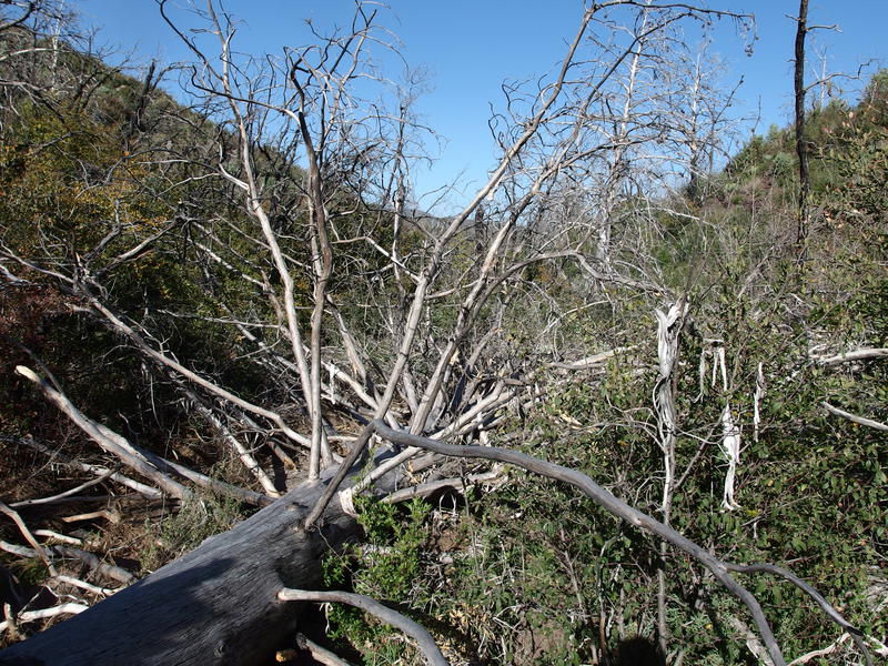
Minor deadfall issues along the trail
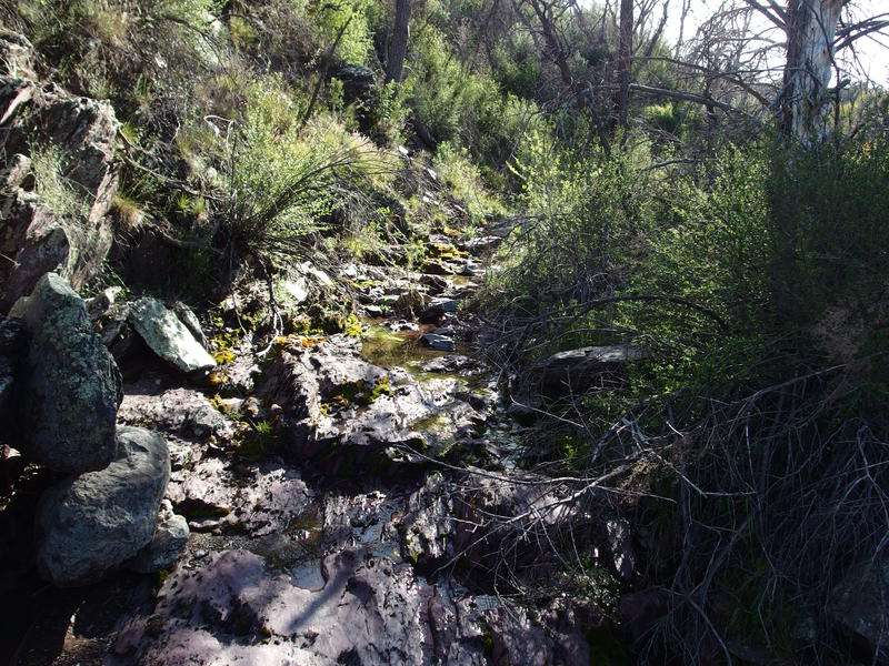
Humble, mossy seep near the Sheep Creek Trail junction
It was five in the afternoon and I stood at a trail junction. There were three options in front of me. I could head north on Sheep Creek Trail, which would be a mostly-downhill walk to my planned campsite a few miles away along a mostly-dependable water source. It'd probably be warmer down there overnight, too. Or I could continue east and stop at either Squaw Flat Spring a few hundred yards away or McFarland Spring another mile beyond.
McFarland was along the AZT and had guaranteed water and a decent campsite. It was also the most out-of-the-way compared to the rest of my loop. I chose the shortest option, pessimistic about the trail to the north, and made for Squaw Flat Spring, which meant a short yet vicious hike through more fire-damaged forest until two massive trees welcomed me into a lovely clearing.
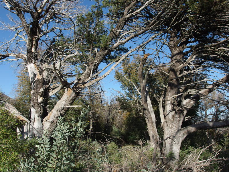
Guardians marking Squaw Flat Spring
Before I even put down my pack I looked for water. Sure, I was only a few hundred yards from the unmarked seep at the trail junction, but it was a tough hike and my legs weren't feeling it. There was no water to be found. I checked the GPS waypoint, tracked a few wash-outs to their dry sources, and even walked up and down in the nearby creek. There was some mud in the creek that provided no moisture when squeezed. Guess this was going to be a dry camp.
Feeling a bit disheartened I set up my tent next to an overgrown firepit that had a ton of fuel nearby. No fire for me tonight, not with how dry the post-burn forest can be and no water to put it out. I had a brief cold dinner, ran through a quick hygiene routine, then watched the sunlight slowly die out on the nearby Saddle Mountain.
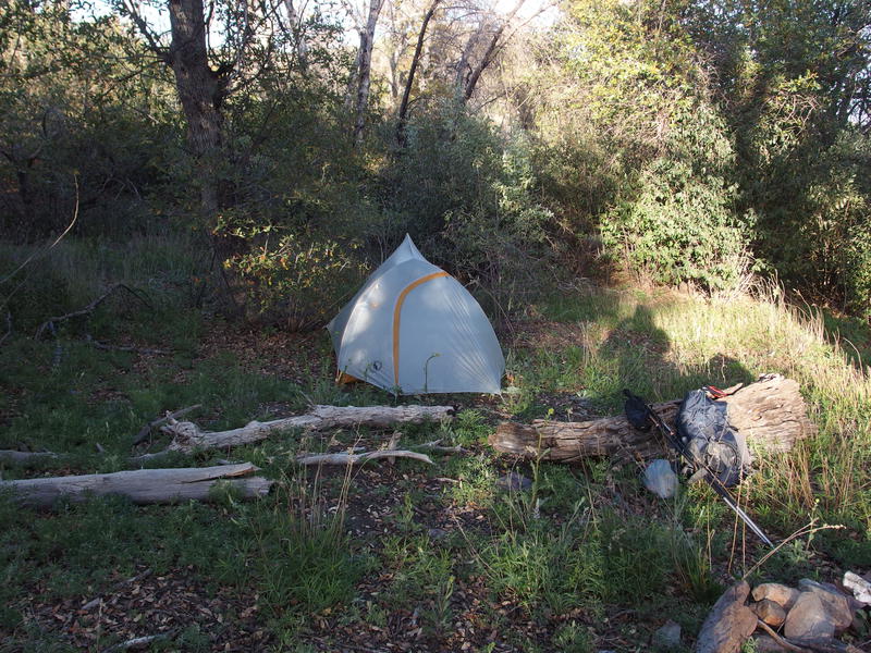
Glamping at Squaw Flat Spring
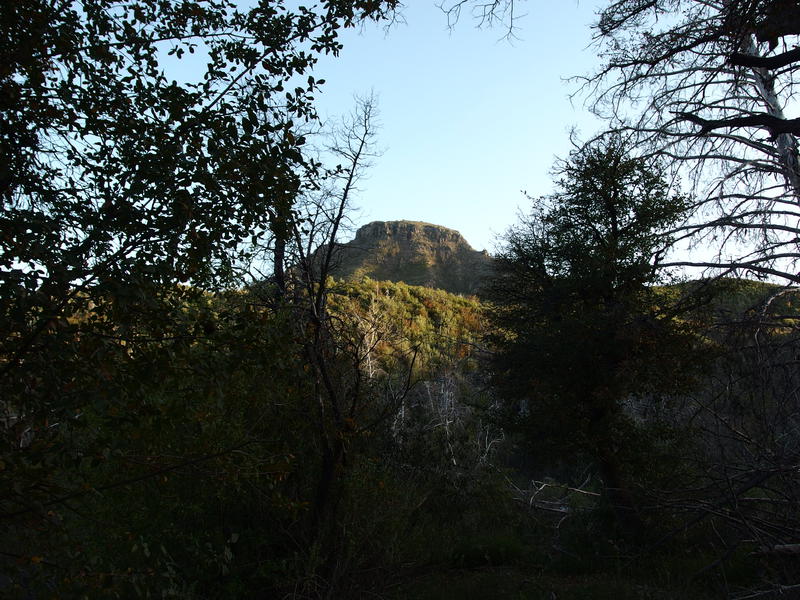
Evening view of Saddle Mountain
Just a hair over sixteen miles covered today, over half of them on old roads, and I was drained. Granted, Copper Camp Trail was no easy hike, with over three thousand feet of gain and tough sections that forced me to crawl, push, and climb off-trail multiple times. Assuming I took no spur hikes tomorrow I was looking at about the same amount of distance and a lot of downhill hiking, which has a tendency to wreck my knees. As I curled up in the tent and opened a book I wondered, not for the first time, just why I keep getting myself in situations like this.


Comments (0)