Copper Camp Loop: Road to Copper Camp Creek
Pale light began to seep through the morning sky, throwing the Mazatzal mountains into sharp relief in the distance. It wouldn't take long for my route, sitting far to the west and blocked from the sunrise by those mountains, to be in full sunlight. I paused and stretched and looked at the brightening sky with dismay. There was still miles to hike before I even reached my trailhead and I was falling behind schedule.
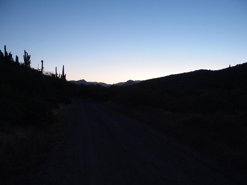
Early morning light on Davenport Peak
Last night I car-camped at Horseshoe Campground, a humble collection of primitive spots clustered on the banks of the Verde River. Then I slept through my alarm and struggled to pull my gear together under dim lights, all the while trying not to ruin my night vision. Once I got moving I quickly got confused on my way to the dam. The campground is a half mile from the dam and walkway across the river, though there is a mix of road-walking and foot paths needed to navigate that had me all confused.
The next few miles were easy enough. Forest Road 479 is wide and easy to follow on the other side of the dam, connecting to Johnson Ranch and the more remote Forest Road 477. The damage had been done by then, though. My plan was to start before four and reach Copper Camp Trailhead, eight miles of road, with the sunrise at six. Thanks to the sloppy morning I wasn't even on 477 when the sun began to light up the sky. Frustrated I pulled off my now-unnecessary headlamp and propelled forward, clanking the trekking poles sharply against the gravel.
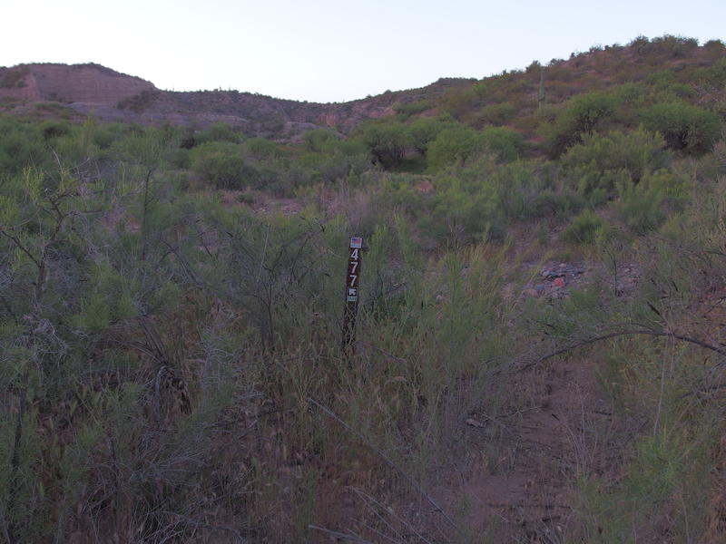
A very overgrown section of FR 477
This was supposed to be the easy part of the weekend, when I would speed through the distance and get some solid miles behind me. Because this was not going to be an easy weekend. My plan was to do the Copper Camp Loop, over twenty miles of hiking through remote and unmaintained trails in the Western Mazatzals. Just to reach the loop I had to travel twelve miles of old roads. That many miles made for a very busy overnight trip. Being behind schedule set me on edge, and when I finally reached Sears Trailhead and saw the condition of FR 477 I fell into full despair. There was no road here. There was a plastic post, thorny weeds, and a boulder-choked wash.
Turning around seemed pointless. Or maybe I just didn't want to deal with the rocky drive back to Carefree yet. Dropping down to the wash I wandered upstream, keeping a close eye on the opposite bank, wondering if there had been any vehicle meaty enough to drive this road in the last decade. A short distance in the wash and I found the way up and out, and then some pleasant signs guiding me north. Finally, it was time to tackle 477 in earnest and leave this nonsense behind.
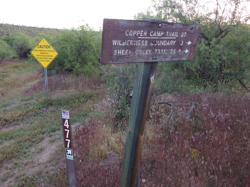
First, and last, trail sign for a while
Climbing the hillside out of the wide and deep Davenport Wash was tougher than it should have been under my sub-ten pound backpack. Well, that weight didn't include the three liters of water I was hauling. Anyways, I had five hundred feet to gain before the first reprieve so I leaned into the slope and pushed on. The road climbed and crested, climbed and crested, weaving a bit to take advantage of saddles and avoid hill tops. At one point I stopped to glance back at the lush green of the wash below. Beyond that was some scenic chalk hills that I remembered from my hike to Club Cabin last year. That weekend doesn't seem so tough anymore.
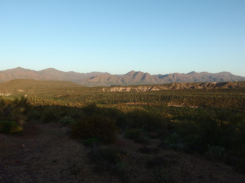
Morning light over the chalk hills and saguaros
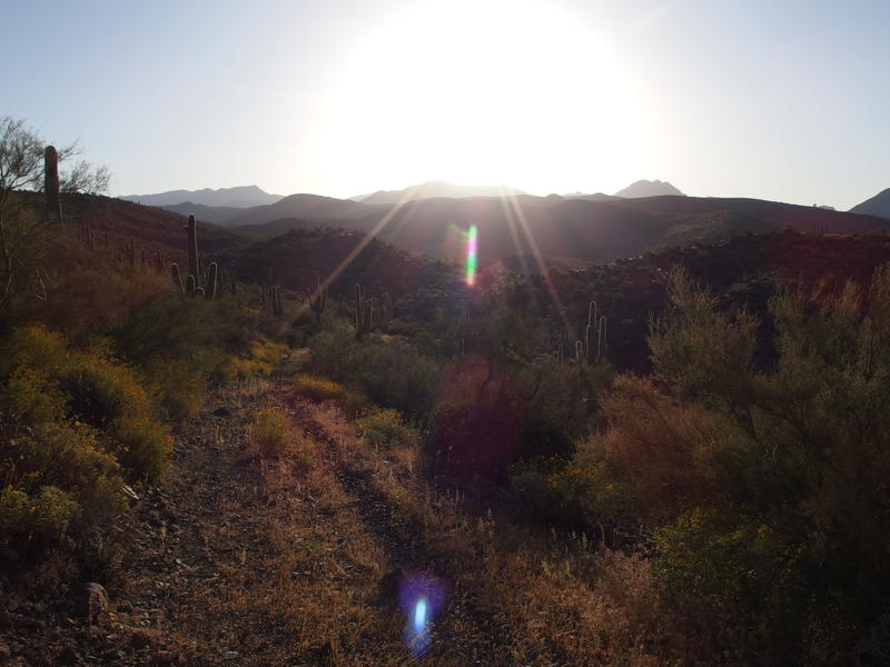
Blazing morning sun along the road
As my legs began to warm and accept their fate the road slipped past. Loose gravel, grassy two-tracks, and few over-reaching plants made for easy passage. Chalk Tank, a dried-up pool just off the track that had been dammed up for cattle, flew past. Soon I reached the top of the hill and began a short descent into a tree-filled wash. There was a small corral next to some trickling water. A short distance above was a larger corral, which sat next to the source of Trail Spring, though here the undergrowth took over and I dared not hack through to see if it was flowing. I paused here briefly to sip some of my water and take a breather.
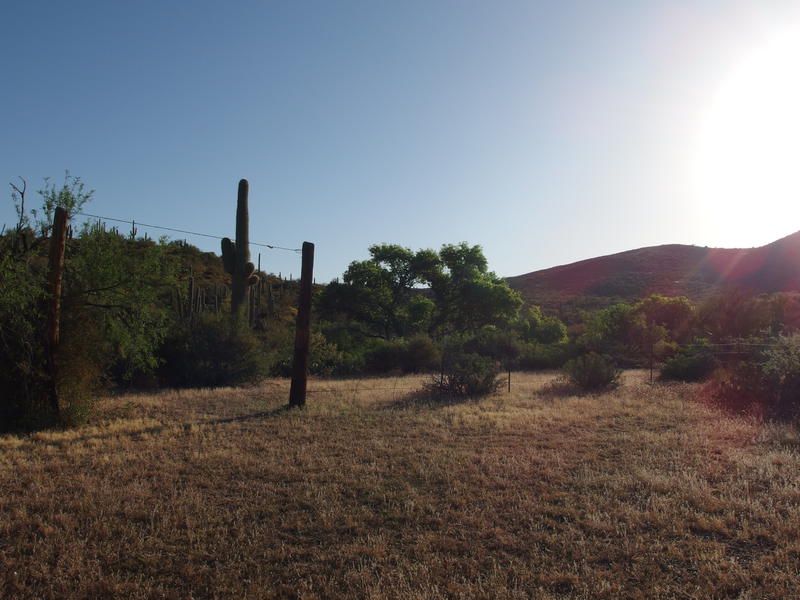
Corral remains at Trail Springs
Somewhere along this road I had tweaked my left knee, which was kind of a big deal. My right knee has been giving me problems on-and-off for the last six months, especially on downhill stretches, and I always bring a brace along when it starts sending warning signs. Pain in the left one hasn't happened in a long time - I wasn't prepared for both knees to give out. For now I strapped the brace on my left knee and prayed that the weaker right one would be patient.
Another five hundred foot climb waited for me. The road was steeper here, making a beeline up to a saddle that made me miss the switchbacks from other sections. I crested, followed a ridgeline for a short distance, dropped into a dry wash, and was faced with one last climb. Or I could take a shortcut. The road was finally next to a fence line that marked the edge of the wilderness boundary, and there was a gate here with a well-trod path leading east. I hadn't heard anything about a shortcut. Unsure of where it led I continued on the road instead, up one last steep climb alongside the fenceline, and at the top was greeted by one of the most foreboding trailheads I've ever seen.
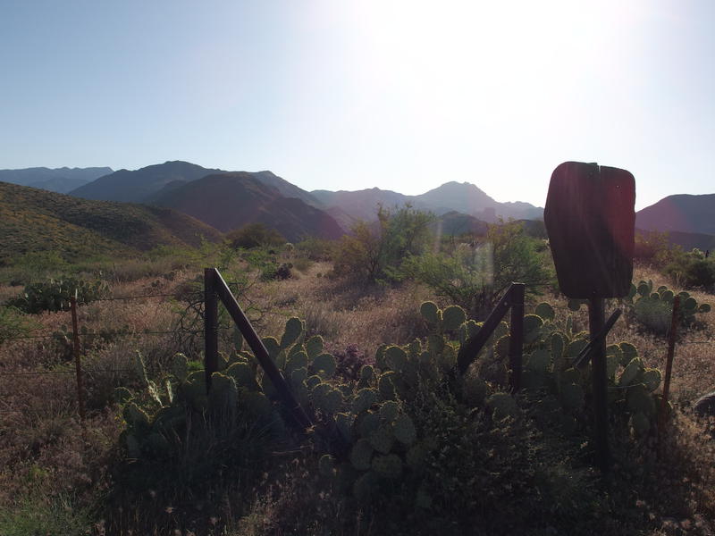
Foreboding, overgrown trailhead of Copper Camp
There was no sign for Copper Camp Trail, only a wilderness boundary sign and a prickly pear-choked gate leading into the Mazatzals. If I had any question about how much traffic this route has seen in recent years the cactus answered it. I circled around to the right, bypassing the gate over a downed section of fence, and then came back to track the trail. There was barely anything to find. The tread was swallowed by foxtails and no cairn was in sight.
I double-checked my GPS. Yup, I was on the trail. It should head east/northeast for a while. Guessing at a direction I began wandering slowly, sweeping my gaze side to side, and eventually saw a large cairn. Once I reached it I looked around, didn't see anything, and wandered again, finding another cairn after a few yards of guesswork. This was going to be fun. If the trail made any sharp turns, like the one I knew lay somewhere in the first half mile, I would have a bear of a time tracking it.
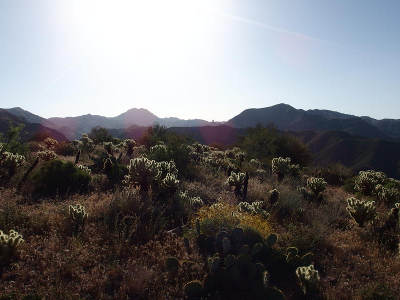
Route-finding gauntlet through cholla
Eight o'clock ticked by, then eight-thirty. On my original plan I would be halfway up the Copper Camp Creek by now. Instead I was working my way across a hillside of cholla and palo verde trees. There was one easy section of trail carved into the downhill grade that I fairly zoomed down, though it faded near the bottom and left me scrambling down a slope of talus. Doubts began to pour into my head about my ability to complete this loop in two days and I pushed them aside. For now I just had to get to the water below me.

Descent into Copper Camp Creek
The last stretch was the worst. Here the trail uses a steep drainage carved between two hills to make the final three hundred foot drop. It's almost completely washed out and I spent most of the time sliding and dropping within the steep, rocky crevice. Both of my knees hurt, the left one worse than the right, and I got a handful of cactus needles during one semi-controlled fall. When I reached the creek at the bottom I was in a fierce mood. There was a cairn, I followed it, and soon the sounds of trickling water under the shade lured me next to a scenic pool.
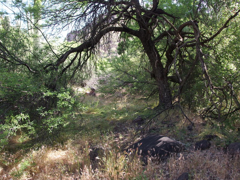
Shade and cairns along the creek
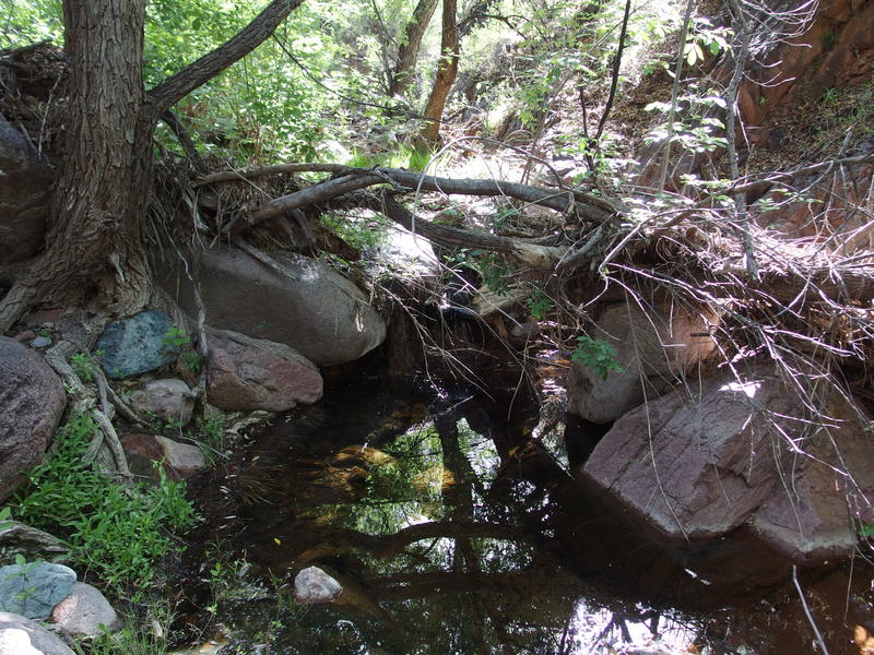
Lovely pool for a breakfast break
Collapsing next to the rocky pool I quickly set into task mode. There was water to filter, breakfast to cook, and sweaty feet to dry out, and I was all the more rushed with the knowledge that I was a solid two-plus hours behind schedule. I did flirt with the idea of turning around and shot it down. There was a loop to do and I had the gear and time to do it, even if it meant missing some of my planned side treks and finishing tomorrow in the dark.


Comments (0)