Weekend on Mulligan Part A - Deer Lake
With a three-day weekend over Memorial Day I wanted to try a different hiking experience. Camping is a recent addition to my Upper Peninsula adventuring, but I still frequently use my car up north to drive from one hike to the next (and to grab the occasional fast food meal). Though I don't have the right gear for true backpacking I decided to try something close: set up a site on day one and walk everywhere, avoiding the car (and civilization) during the entire trip. I arrived at my destination, Mulligan Plains, in the twilight to set up for the first night.
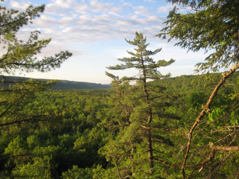
Morning sunlight on Mulligan Plains
I didn't have time to change out of my clothes from work (shorts) and was attacked by mosquitoes the minute I stepped out of the car. A friendly local and his son was unpacking their truck for a weekend at his cabin, located on the other side of Mulligan Creek. We had a good chat about the area; he strongly suggested stopping by a number of lakes north of the creek for some good fishing. By the time he took off on his four wheeler, my calves were covered in bites. I took the opportunity of solitude to quickly changed into some jeans. This was when I realized that I had forgotten to pack both a long sleeve shirt and bug spray.
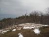
The hike to my planned camping spot was about two miles beyond Mulligan Creek. I grabbed my gear and rushed down the trail in hopes of avoiding the worst of the bugs, which seem to congregate around the swampy creek. They were too quick, though, and my arms and neck were soon covered in itchy bumps. Turning left at the first fork and heading west up the four-wheeler trail brought me to my camping spot after about an hour of mixed walking/crushing bugs. The hope was to camp at Stager Lake, which is about a half-mile north of the path, but I wimped out and stuck to the cliff edge a short distance from the four-wheeler trail.
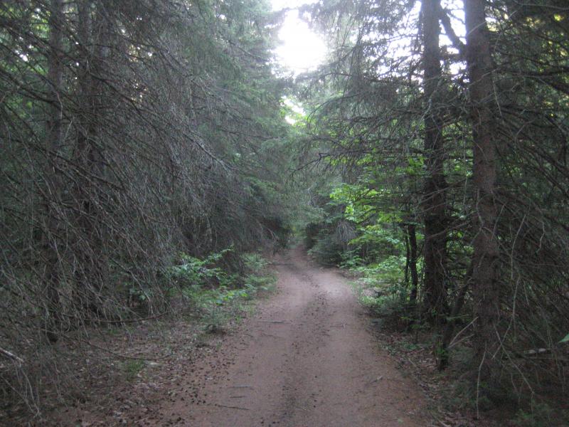
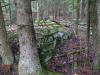
Spooky trees on the trail
By now the sun was completely gone and I didn't have a lot of time to set up camp. The first clear spot I found had a decent pitch towards the edge of the cliff, but I was too annoyed with the bugs to care. I crawled into the tent after dark, covered in bug bites and hoping that tomorrow would turn out better.
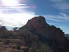
The first rays of sunlight pouring over the eastern cliffs woke me early in the morning. I crawled out and was amazed by the view from my campsite. The cliff edge towered above the trees below, giving me clear southern views of Mulligan Plains. Looking due east I could make out the path of Island Lake's outflow, with the hills of Rocking Chair Lakes just south of it, and directly to my right was the narrow gorge that holds Mulligan Falls.
It wasn't long after I woke up that the bugs found me again, though. Unprepared for the massive numbers of mosquitoes, I gave up and headed back to my car for a trip to Ishpeming. After picking up some coffee and a badly fitting jean jacket, I was more than ready for a hike. Instead of waiting to return to Mulligan Plains I parked at the northern edge of Deer Lake for an impromptu waterfall search.
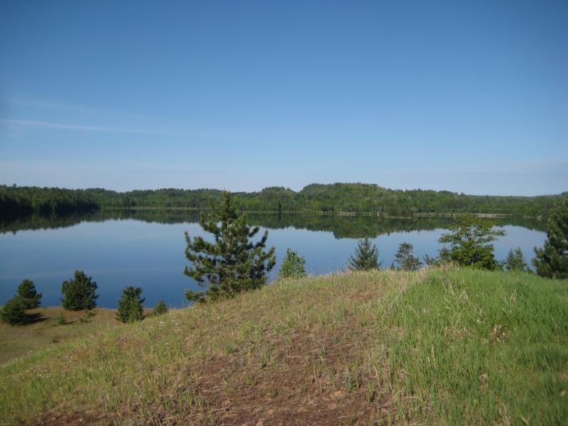
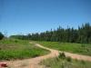
Western Deer Lake
Deer Lake is located just north of Ishpeming along the path of the Carp River. While it's obviously a dammed lake, high amounts of mercury (too high to eat any of the fish) and limited access leave this lake mostly empty. County Road 573 winds around and crosses the lake several times, make the road very scenic and the lake feel a bit urbanized. I was hoping to find the dam to see if there was a waterfall (the penstock was removed years ago) that emptied this lake.
The first part of the hike was easy. A large, grassy knoll is located along the lake, making it more of a meadow stroll than the bushwhack I expected. The woods quickly reared up, though, and I was soon pushing my way though thick brush along the lake's edge. The rugged terrain didn't help my route at all - wandering too far right brought me to the swampy edge of the lake and high cliffs and loose rock piles hugged my left side. If the lake depth wasn't so unpredictable it would have been tempting to just wade for the rest of this hike.
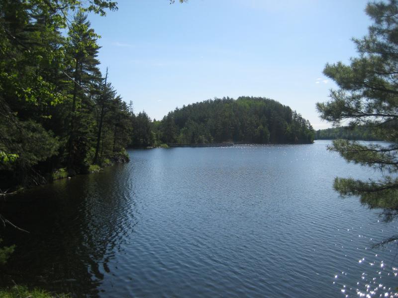
Near the Deer Lake dam
There were a few old logging trails that helped me cheat, even if they took me through black-water swamps, and my first view of the dam was from a road that ended at the water's edge. I climbed along one last cliff before coming to the two-section cement dam. The western section is much smaller and doesn't have any water flowing from it, which allowed me to easily walk across it. I came upon the eastern section, which had fencing, an old penstock opening, a spillway... and a waterfall cascading over dark gray rock.
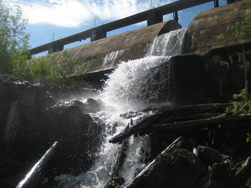
Deer Lake Dam falls
Similar to Upper Carp River Falls, the rocks are slate-gray and poke up an odd angle. The water, weirdly creamy and having an odd odor, cascades down several ledges and under bleached logs before entering a long, swampy stretch. I crawled down and around these falls, crossing the river several times to get close to the spillway and all the way down to the lower drops. Ignoring the overgrown service road, this area seemed abandoned, adding to the odd yet strangly beautiful falls.
I headed out on the service road, ducking under several gates and cutting off to side paths when I neared the cabins on the county road. The road leads right to the dam without all of the nasty brush I pushed through on the way in, though there are several private property signs along it's route. I'm not sure who owns this road, but the dam itself appeared to be Cleveland Cliffs and legal to visit - just difficult to reach.
Most of the morning was now over. With a hike under my belt and another waterfall to add to the list I was excited to head back to Mulligan Plains and more adventures. Though Deer Lake was not on the agenda for this trip, I'm glad that I had finally found the falls (this area was on my to-hike list for over a year). Little did I know how much more Mulligan had planned for me on this hot summer day...
Comments (0)