Carp River and Marquette Mountain
A warm spell was a welcome change from the freezing cold temperatures of the Upper Peninsula's winter. I had gone on a few hikes through the winter, most in subzero temperatures, and today's mild temperature were a pleasant reminder that spring was around the corner. Driving most of the way in the dark I arrived at Marquette Mountain a short time after a dull sunrise. My destination today was not the ski hill but the area north of it, an area that held a variety of outcroppings, trails, and waterfalls all waiting for me to explore.

Rounded bluff and tower on Mount Marquette
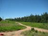
With only the most basic knowledge of this area I parked north of the ski hill and headed east. My plan was to climb Mount Marquette and circle back along the Carp River, which flows along the south side of the mountain. There is a small network of dirt roads in the area that I followed for a while before breaking off along an unexpected trail. Later I would find out that there is an entire system of bike trails here that get a lot of traffic in drier and warmer conditions. For now I followed an unexpected trail up the slope, in a general northeast direction, until I bumped into a road leading up to the top of the mountain.
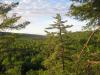
This road took me aback. I was near town but didn't expect a smooth, plowed road to lead to the summit. I'm still uncertain if this road is for tourists or to access the communication tower at the peak (another surprise discovery that I would bump into soon). Nevertheless, the road made an easy route for me to follow to a large rock outcropping overlooking Marquette and Lake Superior. There were some safety bars set to encircle a smooth rock platform that was easy to walk across, though I ventured far past the boundaries to get some great views.
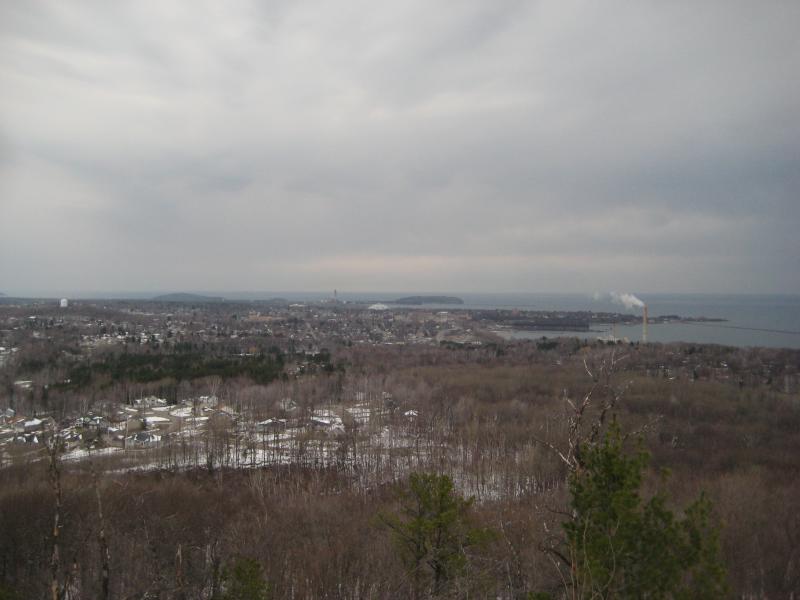
North view over Marquette
Gloomy morning over Lake Superior
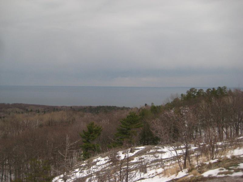
The ridgeline continued east and I followed. It was prominent enough for me to glance back a few times to get some views of the ski hill to the south. I was surprised already by the excellent views to the north, expecting everything to be blocked by growth on the shallow north slope, and southern views were just icing on the cake. The communication tower is located on the far east side of the ridge, marking the point of my hike when I'd have to start the downhill climb through the shallow, wet snow.
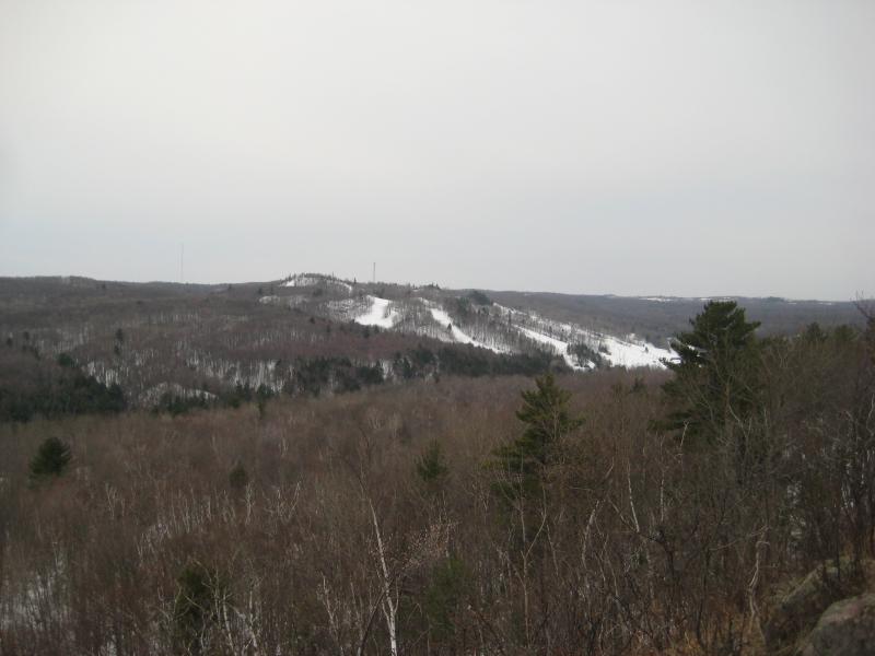
The ski hill to the south
A short descent down the hill brought me to another road, which led east down the hill. I followed it for a while before I suddenly noticed a building through the woods that stopped me in my tracks… Marquette Branch Prison. It never clicked how close I was to US-41 and the prison here. Climbing up a small outcropping gave me slightly better views, but I didn't stick around long. Slightly worried about security I headed down quickly to Carp River, which I knew was a legitimate and well-traveled area.
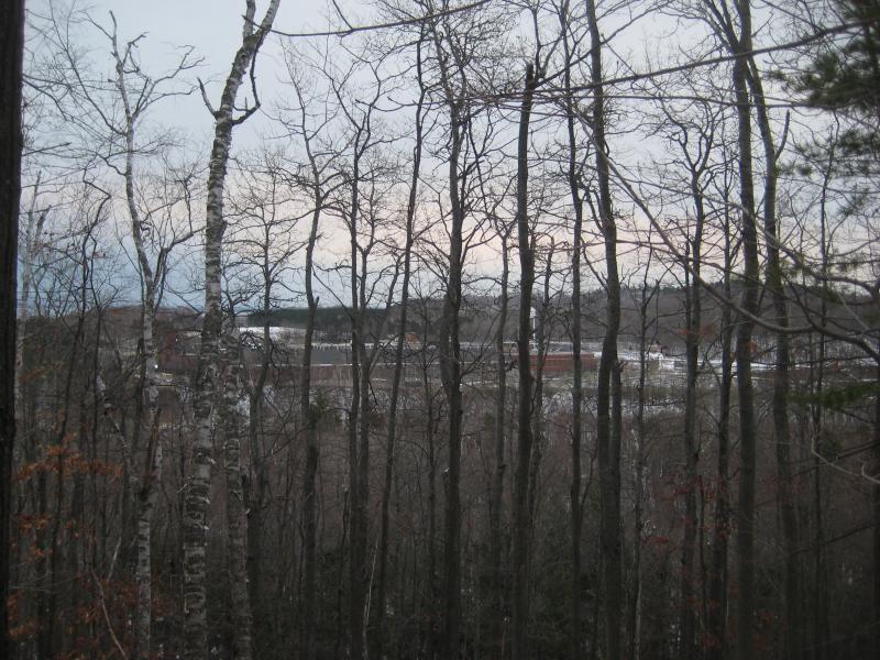
A prison barely visible through the bare trees
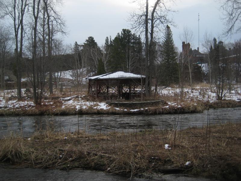
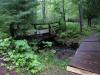
Old gazebo across Carp River
Several vehicles were parked for fishermen farther up the swollen river. I was hoping to see some waterfalls here, not realizing that the full waters would mask any signs of distinct drops in a green/white rush of water. Passing close to a dozen guys in waders along my route I stuck close to the riverbank, hoping to find a hint of a waterfall and only getting soaked and dirty on the crumbling walls. Overhanging rock and branches forced me to a slow crawl at times and, at some point along the river, pulled a ligament in my knee in a painful way. Frustrated and hurt I gave up looking for Lower Carp River Falls (or Marquette Mountain Falls) and took the trails back to my car.
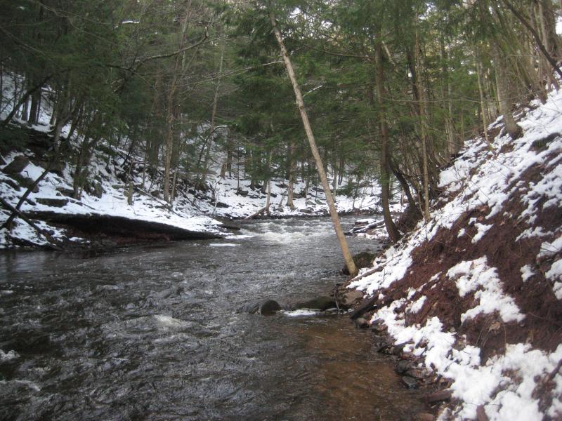
Steep banks on a swollen river
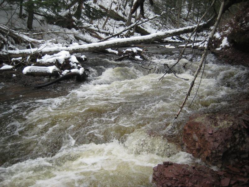
Small rushing drops on Carp River
There may be some waterfalls along this stretch of Carp River, but I wasn't going to be able to find any in today's snowmelt-swelled waterway. Even if there was defined drops I doubt that they are more than a few inches tall. Once I reached my car I decided to extend my hike a few miles and view an actual waterfall far upstream. Across County Road 553 a dirt road stretches west up a ridge towards Carp River Lake, a dammed basin near a large dump. I had caught glimpses of this waterfall on previous hikes, but today I wanted to get close and personal with Morgan Falls.
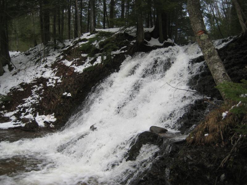
Morgan Falls
Morgan Falls is located where Morgan Creek drains into the Carp River. The creek spills over a sudden drop in the rock to form a beautiful, loud waterfall that is worth the long walk (or rough drive) up the ridge. It was a pleasant way to end my hike after the fruitless search along lower Carp River. I debated heading up the ridge here to the south for more views of Marquette but some time restraints and my knee flaring up stopped me. Instead I hobbled back to my car, partially content with the morning's hikes.
Comments (0)