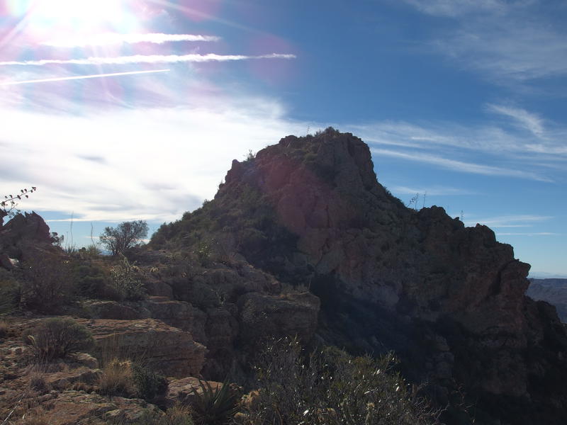
Descent from Tortilla Peak
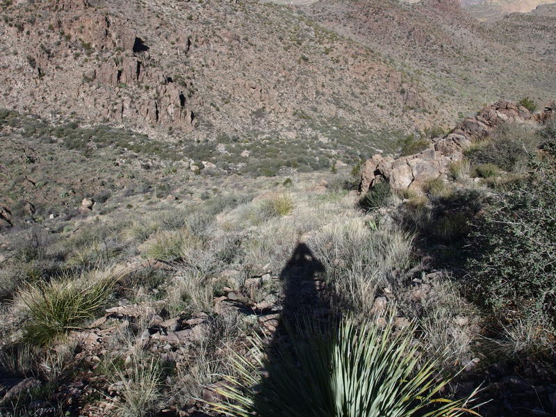
Coming down the north side of Tortilla Peak was a hundred times easier than my climb up. A few simple hops over jagged rocks and then a long, clear chunk of bedrock sloped gently away. Man, this approach would have been a breeze. I looked back a few times at the peak, now bright under a rising late-morning sun, and admired again at how rugged and sudden the summit was. Then it was back to the downhill amble.
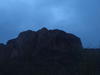
Last look back at the peak
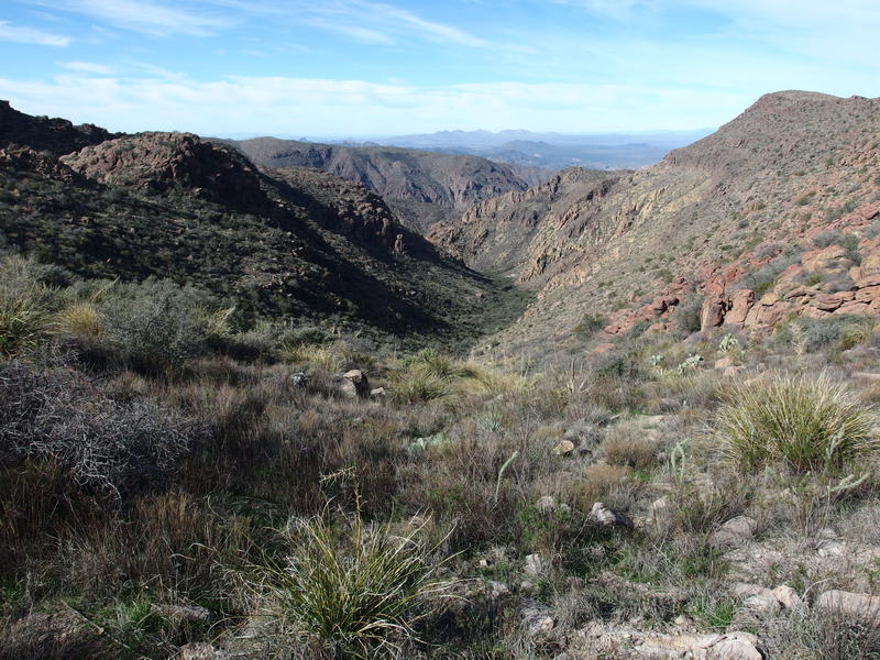
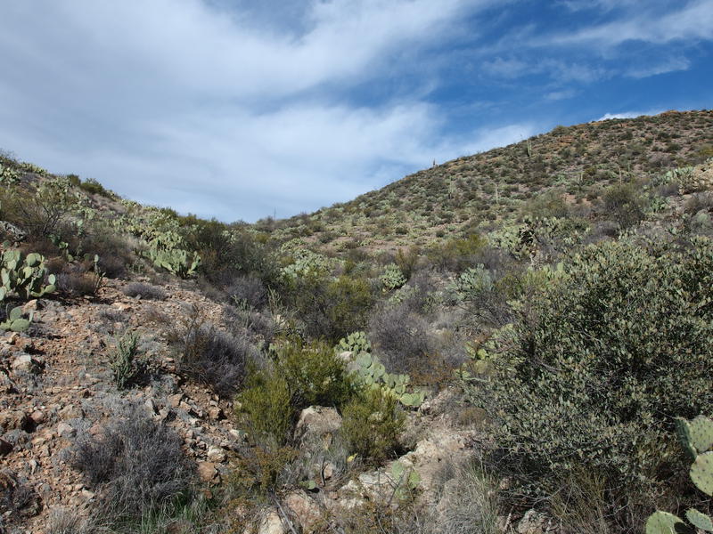
A second, crumbly peak showed up along my route, something I hadn't noticed from my morning views or my research. It was just as sudden as Tortilla Peak, even if it was much smaller. From the right angle it could look significant. I passed around it to the left, easily circling the crumbling formation, and then the way got a bit more fun. Loose boulders, downed agave stalks, and prickly plants began to force me to weave around. This was starting to feel like off-trail on Malapais Mountain all over again. As long as I didn't trip over any agave and tweak my knee out I should be okay. I was able to keep up a good pace, legs enjoying the downhill slope, when the ridgeline decided to get nasty.
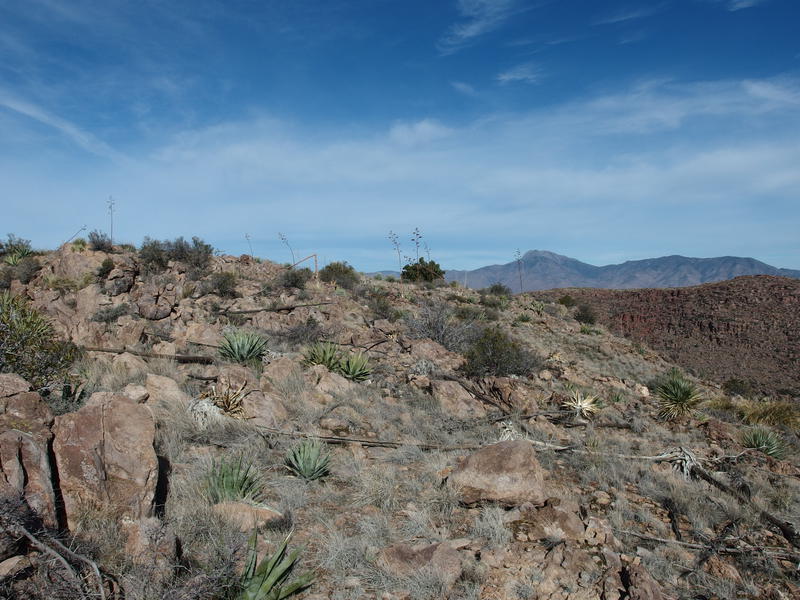
Relatively easy hiking over rocks and stalks
And then the ground sloped
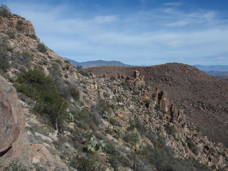
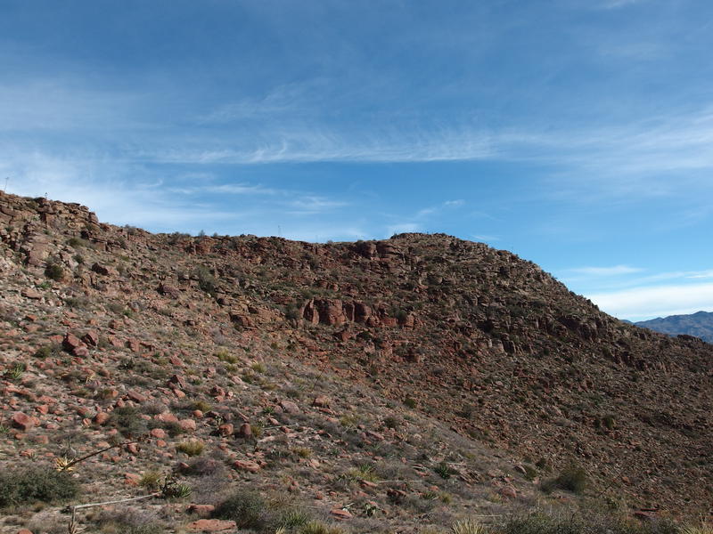
With some imagination this mountain makes a giant T-shape. Tortilla Peak is located about halfway down the main leg and I had climbed up from the bottom to summit it. Now I was continuing up the leg, heading to the crux, where a narrow saddle separated me from the long east-west top. Now my route along this ridge had gone from flat to rugged and the only way forward was along the boulder-and-bush choked hillside. There may have been a downhill trend along the way but I didn't notice it. I was too busy swinging around boulders and clutching onto prickly plants for grip, wondering all the while why I didn't just turn around and backtrack.
All I could do is set little milestones in front of me and move toward them. On the horizon was the big red hill on the top of the T, one that tops out at 4581', yet that was too far away to aim for right now. Plus there was a sharp canyon between us. I picked a boulder a hundred yards away and painfully made my way over, then aimed for a saddle, and once a prickly pear. That was a mistake - all the darn cacti looked the same. It felt like an eternity before I reached the end of the sideways hiking and looked down at the shallow saddle. A little 200' drop and an equal climb on the other side. Almost the last climb of the day.
Looking down on saddle between Tortilla Peak and the red ridge
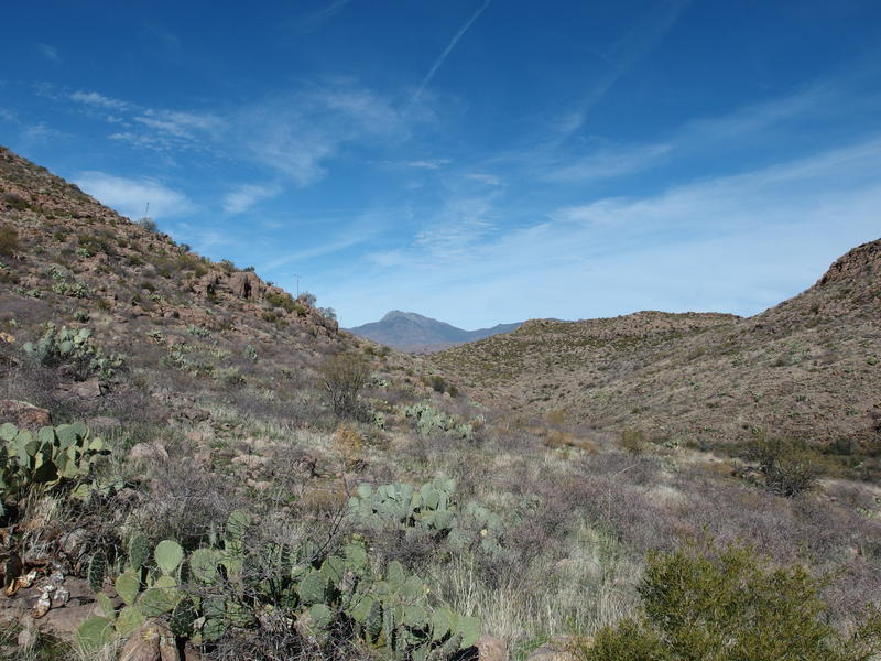
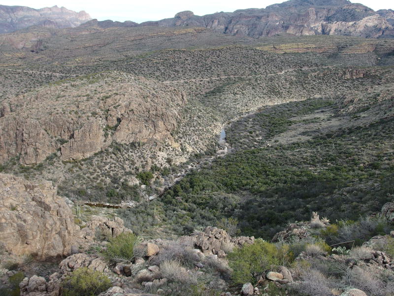
Drainage leading north towards Peter's Canyon
As I stood at the bottom of the saddle, watching two deer lope away over a hill and make the brushy slope look elementary, I eyed up the long canyons that drain this saddle on both side. The northern one in particular was intriguing. It was plugged with brush, had steep rock sides further down, and eventually flows into Peter's Canyon. Now here was an area that a Dutchman hunter could spend some time in. The whole Malapais/Tortilla area is highly suspect, with the unique quartz outcroppings and alignment of key clues, and very few people have explored it in depth. The southern drainage merely flowed down to Peter's Trail and provides a brushy alternate climb.
There was signs of an old camp up here, too. A pile of rocks that was probably once a fire pit and some old flat pads. Perhaps more people have explored these canyons than I imagined. No one had used this camp in a long time, grass growing up on the pads and between the rocks of the firepit, though it would take a few more decades for the rusty cans to disappear. With one last look around I reluctantly started towards red boulders and began my climb up the hill.
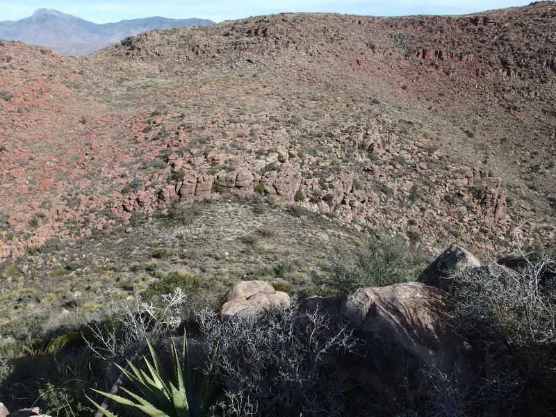
Red rocks on the opposite ridge
Hiking this last rise was harder than I wanted to admit. Off-trail is so much more taxing than following an uphill path, and the 2500' I had climbed so far today wore my leg muscles thin. As I loped from boulder to boulder without grace I could feel cramps biting around the edges of my muscles, simultaneously urging me to stop for a rest and pushing me forward to remain in motion. Moving legs can't cramp, right? When I did finally summit the uppermost boulder I looked around, found a welcoming flat spot, and took my second break of the day.
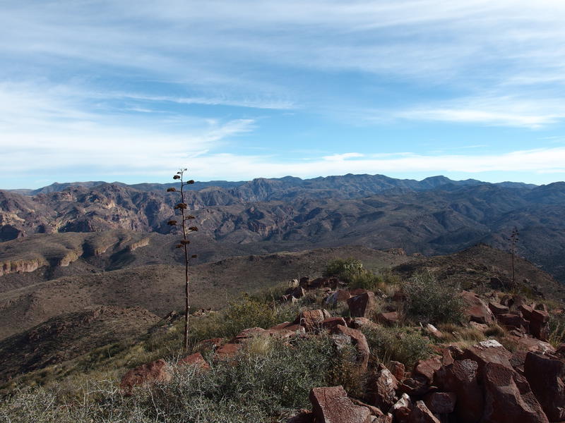
A lot of descent left to go
I had brought along plenty of supplies for this trip, uncertain how long I'd be out here. My pack contained sausage and crackers, bars and peanut butter packets, two liters of water and a filter for more. The cold weather had kept my water consumption down to a minimum, only a few sips up at the peak, but now with a mid-day sun overhead I finished off a liter and dug deep into my snacks. As I sat and relaxed I gazed back at Tortilla Peak behind. That deep drainage sat between us, exaggerating the difference in elevation, making my journey over here seem quite a bit more epic.
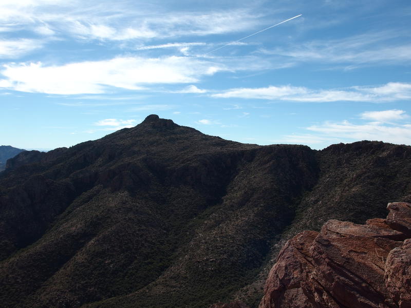
Back at Tortilla Peak, across the drainage
With a deep sigh I stood up, stretched my hamstrings, and packed my bag up. It was time to get back in motion. The plan was to play around a bit on a few ridges between valleys, then drop into the bottom of one of the larger ones and follow it (most of the way) to Tortilla Creek. Basically, leap off the top of that T and hope that the fall didn't hurt too much. I had over a thousand feet to descend before easy walking and it was now noon.
The ridges were confusing and I started dropping down the wrong one before I realized my mistake. Which wasn't that bad - the vegetation wasn't thick and the going was easy once I got past all of those nasty red boulders on top. The one thing I wanted to avoid was south or east facing slopes. Any slope that didn't have to deal with the inferno that is a summer afternoon sun is bound to have more thorny brush than the other side.
Looking down into catclaw country
Surrounded by prickly plants
Things didn't get annoying until I reached the bottom of the slope. Sure, the steep part had loose sections and wash-outs that I had to ease around, it's just that the bottom of the valley was filled with knee-high brittle-dead catclaw. Once I noticed it I tried to stay on the hillside above the drainage creek and prickly stuff, saving me from a few hundred yards of pain, and when that gave out my only option was to suck it up. The growth was thick and offered few breaks. A few yards of weaving around narrow clearings followed by a few yards of pushing through entangled ropes of sharp white pain, and then repeat.
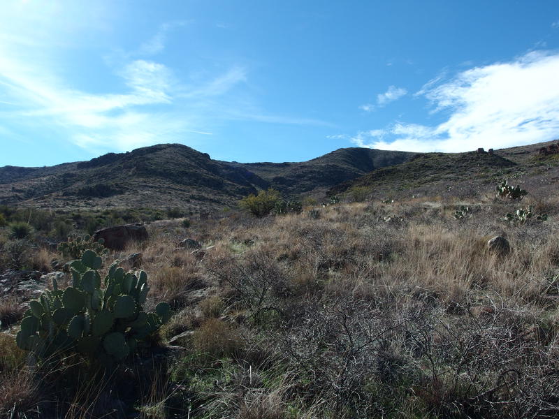
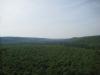
Looking back at the rolling hills
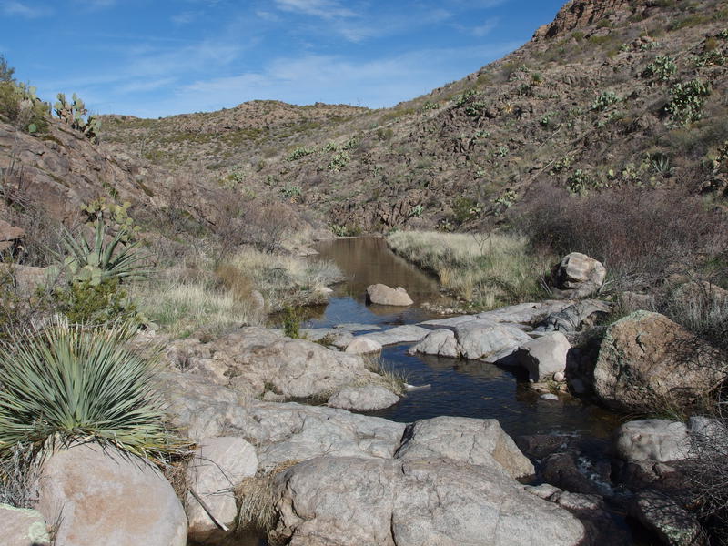
Once I reached the creek I turned and looked back, hoping to get a good view of the peaks behind me, and all I saw were rolling hills. That slow, steep descent was looking like more gentle hills from down here. Turning back I followed the creek, hopping from rock to rock, excited to see the clear, running water beneath my feet. Water was a nice back-up in case I needed to filter, plus it gave this arduous route purpose. I had chosen to go this way because I wanted to check on a mysterious shadow from the satellite imagery.
Hopping along the creek worked for a while. Soon enough it was clogged up by thick brush that forced me up on the banks. Knowing that this creek was merely a tributary to a larger flow in the east I cut up and over the narrow separation, hoping that a larger flow meant a wider, easier creek to follow, and only found thicker, thornier brush around it. Man, this was not turning out to be easier. I could wade in a creek up to my knees, fight thick brush on the banks, or return to the catclaw flats around the water. I chose the latter and dealt with lacerations on top of lacerations for it.
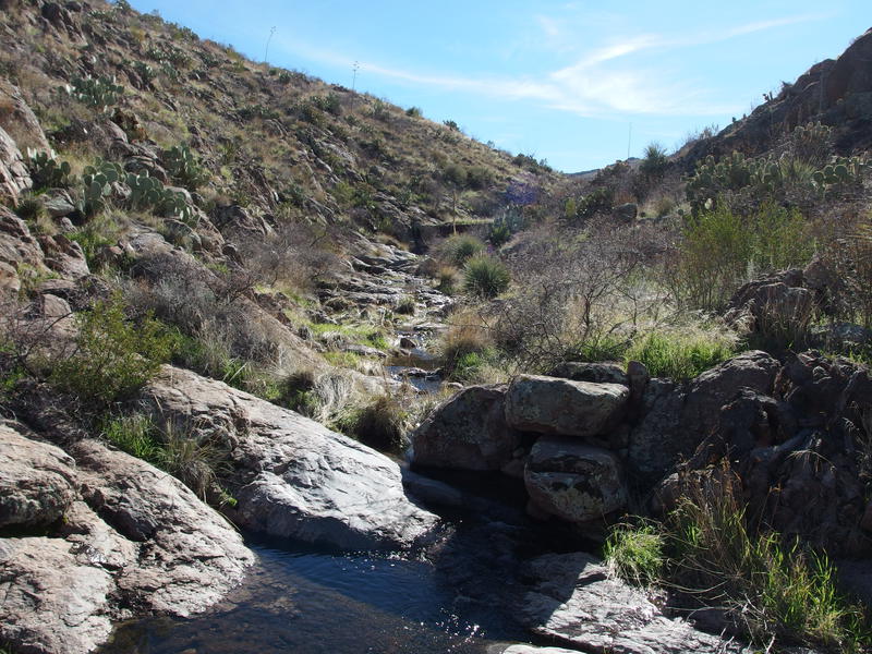
A small, grassy reservoir below tanks
With no small amount of relief I soon stumbled upon a suspicious pool of water with flat, grassy banks on either side. This didn't look natural at all. Excitedly I hopped over the rocks and followed the grass downstream, noting that the pool of water on my side was mostly filled with gravel and silt, and then found the cement dam. This was the odd, dark line I had seen on the imagery - an old relic of ranching days. There was no pipes or troughs nearby, though I had little doubt that this water was once pulled up and over the eastern hills for the ranches below.
Looking back up the rock tanks and dam upstream
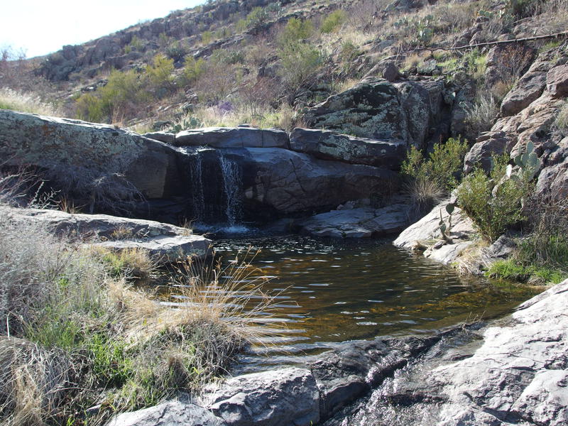
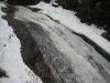
Pleasant waterfall along the creek
Below the cement dam was a veritable string of little waterfalls. It was easy hiking, hopping from flat rock to rock, and it reminded me of the strings of rapids back in Michigan. With catclaw instead of leafy undergrowth and sporadic saguaros instead of towering trees, that is. I took pictures and admired the water and plotted my route around the prickly sections and generally enjoyed myself. My legs were tired and the sun was hot, yet this was my kind of hiking. The sound of trickling water gave me a renewed source of energy.
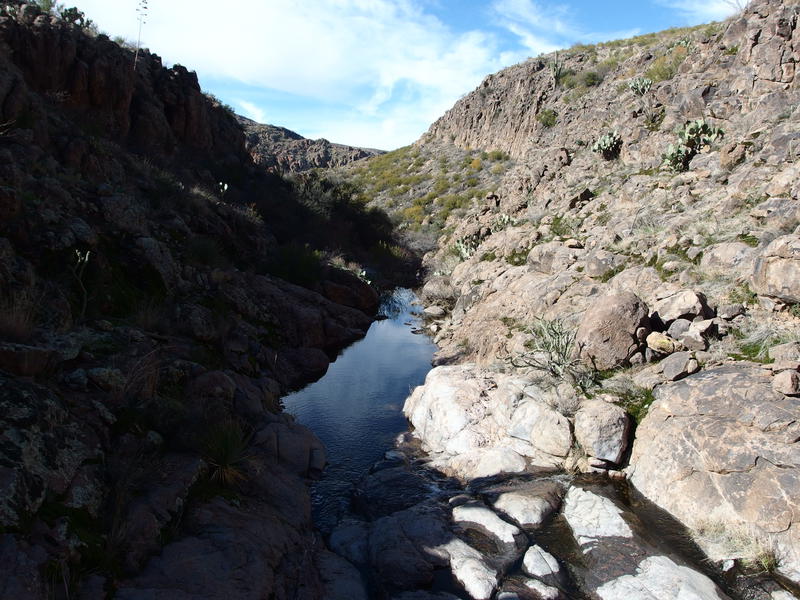
Shaded section of the canyon
Too soon it ended, with a steep canyon and thick brush swallowing up the pleasant hiking. I could have continued on and followed the little creek all the way to its junction with Tortilla Creek, two miles downstream, which would have been torturous at best. Not only would it have been overgrown, the spot where it does join is surrounded by tall cliffs impossible to scale. A lengthy detour back up Tortilla Creek is necessary to re-join with the service road. Ready to close out this off-trail hiking I began climbing up the eastern hills that lay between me and the road out, pushing through brush that somehow had no thorns or prickers.
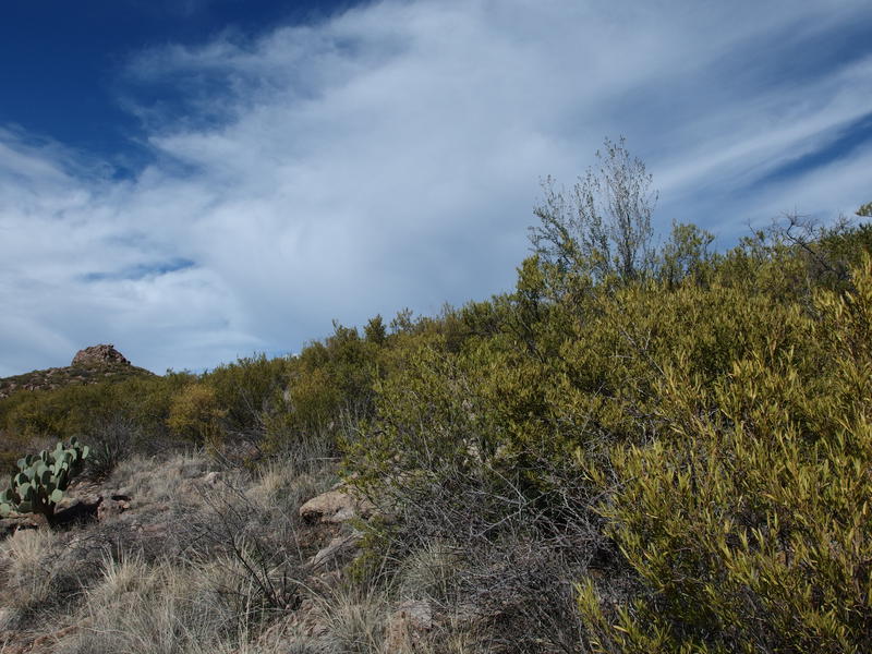
Brush (non-prickly) along the climb
The last descent over Tortilla Creek
Once I reached the top of the saddle I looked down with dismay. Somehow the 400' drop to Tortilla Creek and the service road beyond looked so easy on a map. Here, in person, it looked impossible. Directly below me were cliffs, crumbling and dangerous, and beneath them was a solid field of impenetrable nastiness. There was a distant, appealing break to the right, a series of clearings next to the creek, so I decided to try dropping in that general direction.
It took some tree assists and some ill-advised slides down loose gravel, but eventually I reached the base of the cliffs. That solid field of green was mostly gnarly trees, dusty and interweaving, and I spent more than a few yards crawling between boulders underneath the branches. Glad it's too cold for rattlesnakes to be active. I reached the series of clearings and was not surprised to find them choked up with catclaw brambles, mostly over six feet in height. Of course there'd be more catclaw. Charging forward and cringing afterwards, I pushed through a dozen walls of thorns before finally crossing Tortilla Creek and dealing with the final hurdle, a mild few hundred feet climb through a field of prickly pear cactus.
A veritable farm of prickly pear
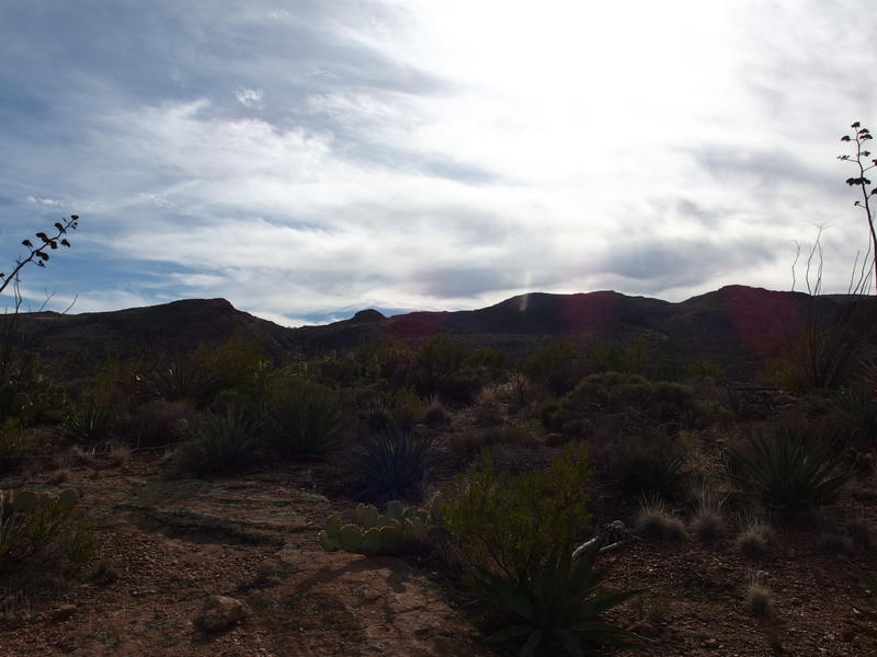
Bright sun over the hills of Tortilla
Once I reached the service road above the prickly pear slope I took a brief five minute break. The hike was basically over. Less than two miles of easy hiking lay between me and the van, something that would take maybe thirty minutes of pain-free walking. Finishing off my water and snacking on a peanut cluster mix I gazed westward, trying to make out which peaks I had been on today. I couldn't tell. There was something that looked like Tortilla Peak proper, or it may have been the red-boulder-covered 4581, or maybe something else altogether. Guess it didn't matter now. Whether I could see it or not I had finally bagged this one. Plus I had found an old dam and a bunch of waterfalls. Booking it back to the van I made it back to Gilbert by three, in time to relay the adventure in gruesome detail to Katie and the boys and enjoy a huge dinner with the family.
Comments (0)