Upper Mazzie Loop: Rainy Day on the Verde River
Waking about an hour before sunrise, I was initially slow moving under the dark sky. As soon as I was dressed and heard the pitter-patter of raindrops on my undersized tarp I sped up, though, worried about my quilt and other gear getting wet. Once everything was protected I began making breakfast, standard oatmeal and coffee, and as the water heated and the drizzle fell I watched the gloomy sky. The gray clouds hung oppressively low overhead, likely within reach of the higher parts of this trail a few miles back, and I found it difficult to feel too motivated, even after my hot cup of caffeine, on finishing this loop.
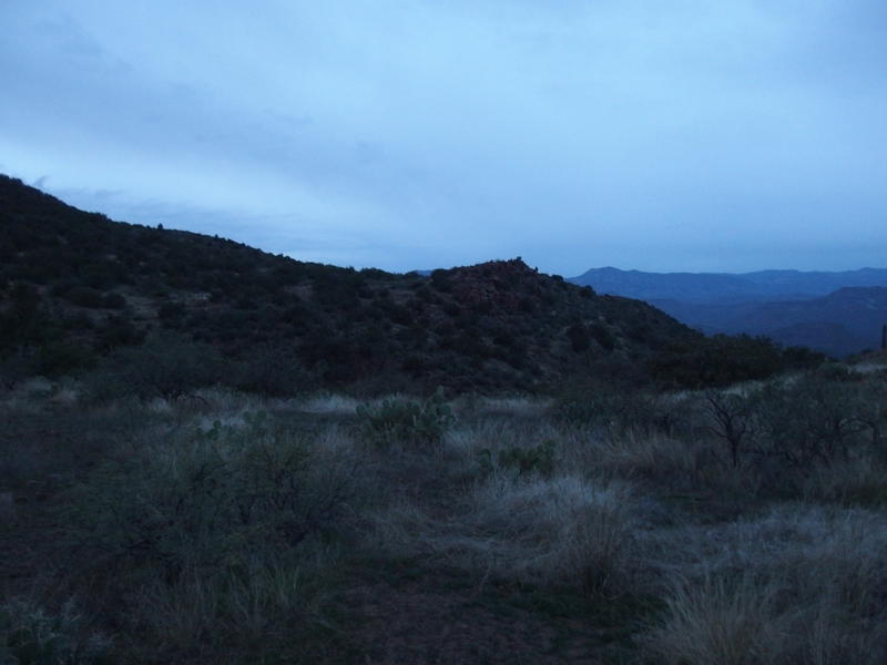
Gloomy morning skies
I had camped along the Wet Bottom Trail, about two miles east of the mesa, after hiking a long ways from Twin Buttes in the north. The plan for today was to finish this trail, turn north on Highwater, and then continue north on the Verde River Trail, taking it along the river and over East Verde and then up Cedar Bench back to the trailhead. This was 25 miles in all, and I wasn't sure how difficult the rest of Wet Bottom or the five miles of Verde River Trail were, and there was still that 4000' climb at the end to swallow. The gloomy sky conspired with my anxious mood and I putzed around camp looking for reasons to delay.
When seven rolled around I ran out of excuses. The sky was light enough to not need a headlamp, my pack felt good on my shoulders, and I had left nothing behind from my campsite, going as far as stirring up dirt where my stove had sat and dragging some branches around. I made my way to the last known cairn and began a careful journey west along the contour, following the hillside around to the next saddle. There were frequent spots of confusion along the way and good views aplenty, though as soon as the route reached the saddle and plunged down a drainage a solid tread showed up, guiding me down a steep 400' drop into a shallow valley below with ease.
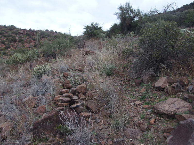
Trail getting easier to follow
Fooled into thinking that I was in the clear I strolled into the valley, following a few cairns, and was faced with a wall of mesquite trees. I backtracked, tried again, then started crawling around under the trees hunting for a path, before acknowledging that the trail has been swallowed up by this valley. I could waste time trying to hunt it through the thick and prickly growth or just circle the lip of the valley. Even as I routed around the worst of it there was still catclaw grabbing at me, and when I made it to the other side I was covered with stinging cuts and a few good bleeders.
Trying to pick up the trail on the far side was challenging, as I only found a few cairns scattered in a non-linear manner and no consistent tread, and the western lip of the valley was rugged and difficult to traverse. Impatiently I gave up and headed downhill, picking up a well-defined path about halfway down. From this point I was able to stick to the correct route without further issue, following it through a few minor drainages, walking through wet knee-high grass on my way onto Wet Bottom Mesa. I reached the Highwater Trail junction shortly before nine.
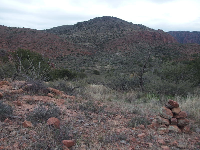
Back at the valley of catclaw and hills beyond
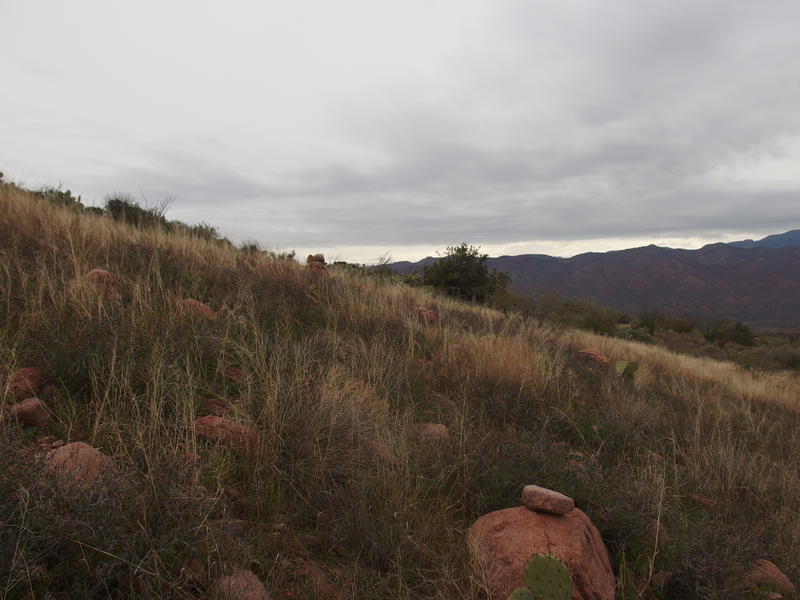
Cairns rising from the grass
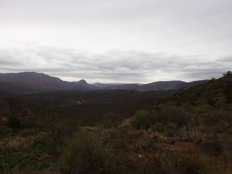
Long way to Squaw Butte
Far to the north Squaw Butte beckoned. That significant dome-shaped formation is located 10 miles away and near the confluence of East Verde River. My original plan was to camp here, on this mesa, get an early start, and be walking past Squaw Butte around eleven. Unless I could cover 10 miles in 2 hours, my original plan was already shot, and it was time to deal with contingencies. I set down Highwater Trail with a long stride, the way familiar, as I had just walked it less than a month ago, and iterated through my different options as I dropped off the mesa.
The grade is steep and loose before it eases up at a saddle, and then slides along the back of a hill towards Canyon Creek. I walked and wondered if the forecasted precipitation was already done with me, as the morning drizzle had ceased about an hour ago, and if the wet vegetation would soon dry and leave the desert in its natural state. Then that final stretch before the creek dragged, especially when it drops into a sandy tributary and picks back up, and the morning miles caught up with me in a rush. I tumbled down the final plunge, found a pool a few dozen yards upstream of the trail crossing, and plopped onto a rock to filter some fresh water, the first fresh water since yesterday afternoon, just in time for a fresh bout drizzle to find me.
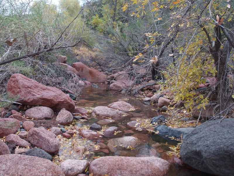
Good water at Canyon Creek
A few liters and snacks gave me a small boost of energy, as did the shivers of being stationary with wet clothes in cold temperatures, and I was soon heading off. The next few miles were a quick blur. Again, I had just hiked this trail a few weeks ago, and now it was just a way to reach new ground, so I moved fast and took minimal photos. It wasn't until I reached the true end of Highwater (the northern tip of the triangle, if you look at the map) that I paused again to catch my breath and sip some water. The river swung close in front of me, looking appealing and menacing at the same time, as a misty drizzle continued to drift down on me.
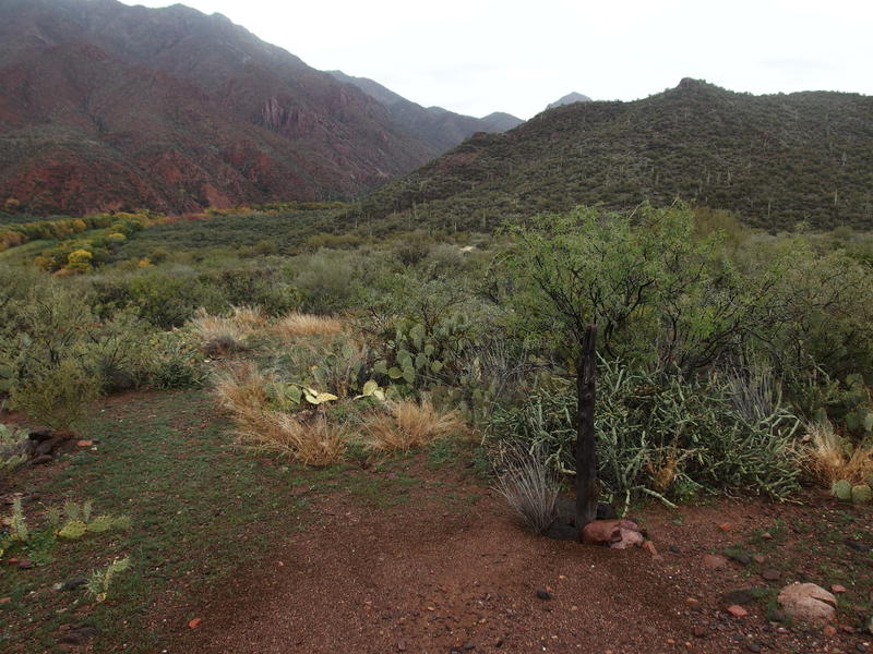
The real junction for Highwater and Verde River
This next part of my route filled me with a good deal of apprehension. The last time I was on Verde River Trail it had been a faint, overgrown path with tiny cairns, and following it meant a slow pace and mentally exhausting search. And now this section of the trail was even more remote and promised even worse conditions. I was pleasantly surprised when I had no trouble picking out a tread forward, and even more surprised when it dropped down next to the river over a set of well-defined switchbacks.
Again braced for disappointment, knowing how this trail often disappears as it nears the river, I found a tall cairn with glee and followed a good tread to the nearby riparian forest, which was mature and easy to walk through, especially with bovine traffic to keep a good path defined and the vegetation beaten back. This was almost too easy. I pushed my fears to the side and began to think more optimistically. Reaching my vehicle, and a warm bed, would be difficult, but it was starting to seem possible.
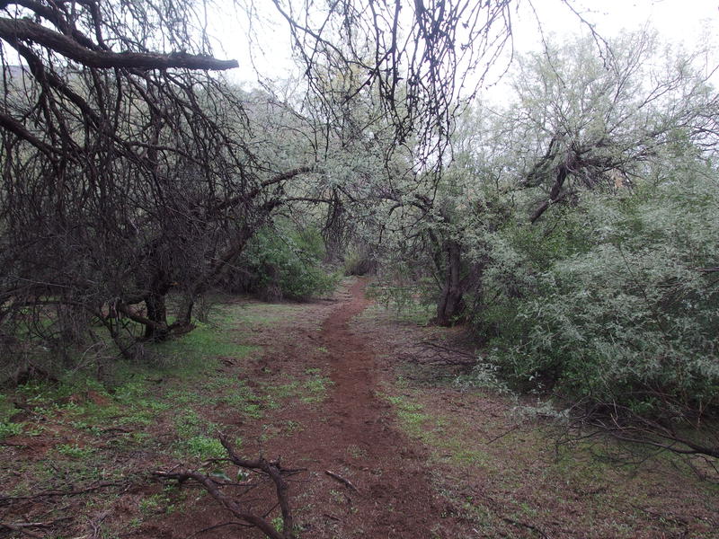
Dreamy walking along the Verde River Trail
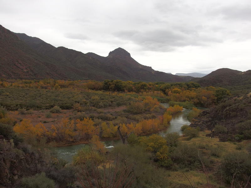
Fall colors on display along the river
The next few miles passed by in a dreamy wonder, only partially due to the constant soft rain and muted colors from the low visibility. The trail would alternate from walking next to the river under tall trees, cutting a line in the hillside through Sonoran desert and grasslands, and swerving high up to crest a rock formation, the latter of which offered spectacular views of the river below. It never got close enough to the river to be washed out, nor did it venture far enough away to lose its presence. As much as I've struggled to enjoy the Verde River in my previous adventures, with the low (hot) elevation, difficult crossings, and minimal terrain features, I loved it today.
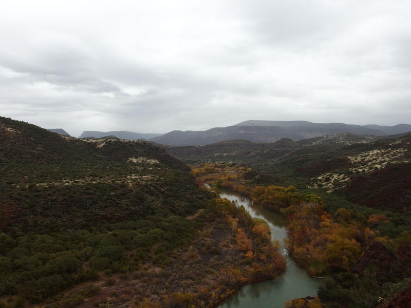
High above the river, scary views ahead
Red Wall Rapids arrived in grand fashion, the trail swinging high above on the bank, with some light scrambling needed to get over the rocky formation on the other side. Then it was back to the flats for a time, more grass with wet drops clinging to it, soaking my boots even more, and I was finally past Squaw Butte. There is a wide, western bend after the butte, and the trail goes up and over a little plain to cut it off. This little 200' climb was annoyingly difficult. Once on top I had some trouble keeping on the trail through the rocks and grass, though I did find some petroglyphs up there.
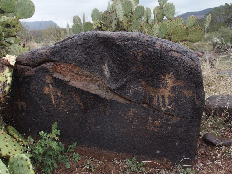
Some surprise petroglyphs along the trail
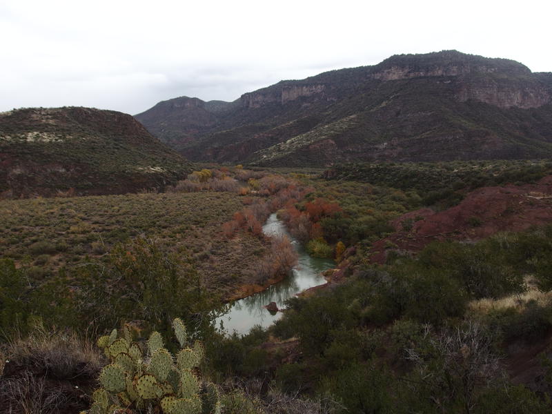
Getting close to the East Verde confluence
I lost the trail on the way down, and it was all my fault. There was a brief section that was defined and then some grasslands. My route said to continue forward at the same elevation, and there was no reason to turn, yet there were appealing junipers below and I was eager to drop down to the river, thinking that I was close to the East Verde. So I dropped and lost the trail and, too stubborn to turn around, ended up bushwhacking through thick forest, climbing down some sketchy dry falls, and then clinging on the side of a cliff, slowly inching my way along, a hundred feet above a rocky fall to the river below. When I finally found a cairn again I just about hugged it.
Dropping, this time with the trail, I returned to the riparian forest and made a quick walk north. There was one washout that forced me to slide under some branches on my belly, feeling more like a worm than something with legs, pushing my pack ahead of me, and the rest was easy. Reaching the East Verde River felt like a homecoming and I stumbled over to a shallow spot and forded it, then plopped down to filter some water. It was already in the afternoon, and I desperately needed water and a lunch break, even if I was hours behind schedule.
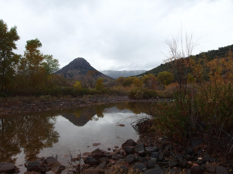
Back at Squaw Butte from beyond East Verde River
14 miles behind me, 11 to go, plus 4000' to climb. Tried not to think about that climb too much. As I filtered up I took stock of my gear. My boots were soaked and squelched slightly, my clothes were damp, and my overnight gear was, at best, also damp. I had just under one day's worth of food left. I was dehydrated yet not thirsty, and I tried to push extra liquid while I was here, knowing there were no good sources of water along the climb. Sure, I could stop here, with more than enough day left to start a good fire and dry out my gear and launch my ascent tomorrow. What's the fun in that?
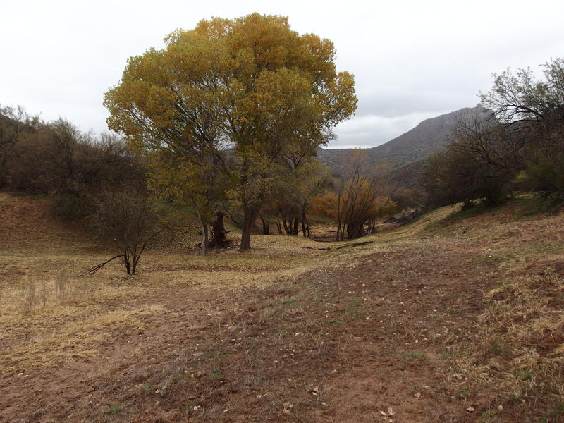
Huge, pleasant trees down here
The next mile was scenic and annoying, the route-finding more challenging than I figured it would be, so close to this relatively popular overnight spot. It was with some relief that I first bumped into the climb. Here the tread hopped on a two-track and it was a rocky, defined thing that climbed up the steep hill with switchbacks and straight legs. I refused to give myself a break and pushed forward relentlessly, making quick work of the first 600'. By 2:30 I reached the saddle and the fork with Deadman Mesa Trail and, after a quick breather, I turned and continued uphill, now back on familiar ground.
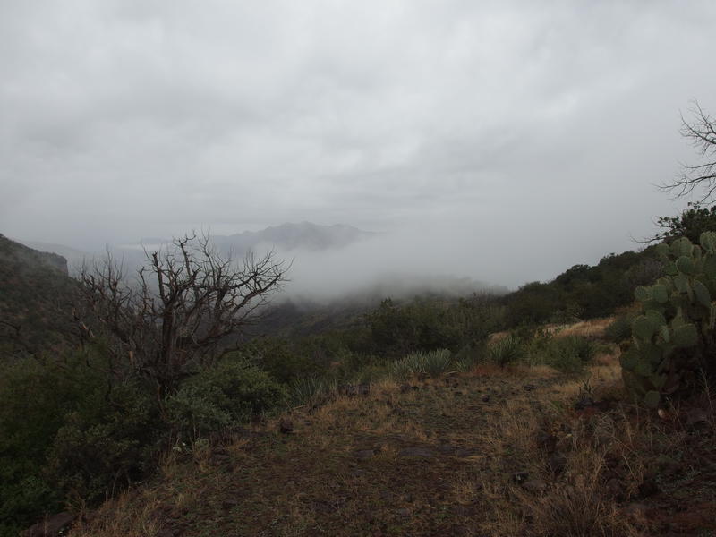
Low clouds drifting into the Verde
It has been a long year and a half since I was last in this area. Back then I hiked down the Verde River Trail from Twin Buttes and spent the night along Fossil Creek, all within one of the hottest weekends of the year. I remembered the trail having good views and lots of rocks. Well, after the junction of Deadman Mesa, I ran into something new: mud. Lots and lots of cursed mud. The mud was thick, more clay than soil, and it clung onto my boots and weighed me down and threw me off balance. That, combined with fresh rainfall and the steep grade, turned my afternoon into a death march.
Things weren't all that bad. At Bee Tree Tanks I bumped into four bull elks, apparently playing in the mud together. The clouds drifted in and out of the trail to create a fantastic vision of hiking into the atmosphere. I got views of Ike's Backbone emerged like a sea monster from the mists, then later of North Peak and Limestone Hills in the far distance. Still, the mud is what stuck, and it took every ounce of energy to lift one soaked, muddy boot in front of the other.
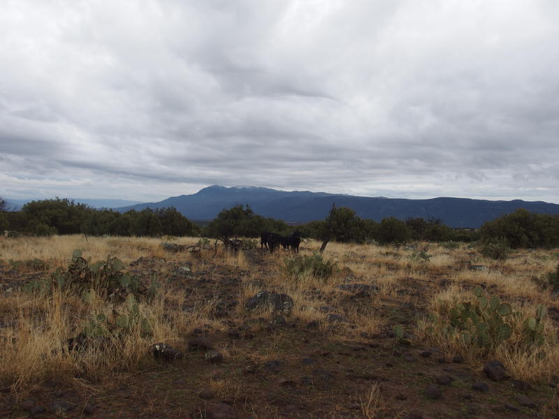
Long view back at North Peak
I was three miles short of the trailhead when the sunset. I had given myself one break, at Camp Gulch, where I had downed the last of my water and pushed some extra caffeine into my gut, which was otherwise empty and angry at me. Shoot, I felt downright nauseous. Anyways, Camp Gulch was my halfway point. Then the sun set, and I passed the wilderness boundary, and the light quickly left the cloudy sky, and I was left wandering in the dark, trying to pick up the tread by headlamp, with only a few miles left.
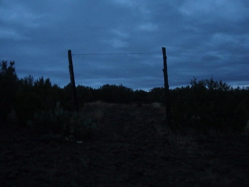
Day is dying
Those last two miles were the most difficult. The tread faded into the tall grass and cairns were almost completely invisible, leaving me to weave back and forth, guided only by GPS chirps. When a road did show up it was a muddy mess, and I slipped and slid along it, further coating myself with clay. I reached the trailhead and was completely blindsided when a pair of headlamps flipped on, practically falling backwards by the force of it. A pair of hunters had been sitting there chatting about tomorrow's opening season. After we exchanged pleasantries they offered me a ride back down to my Jeep and I threw myself into their ORV.
And that's it. This adventure finished the Mazatzal Project, hiking the full length of every trail in and around the wilderness, which I started three years ago with a trip to Club Cabin. This was a heck of a way to finish it, a two day ultralight backpack over 52 miles, and I'm still not sure how my legs carried me out. As I drove home towards my patient wife I didn't even wonder what comes next or what epic journey lay around the corner. The Mazatzals had been epic and wonderful and very, very challenging, and I'm just going to let this completion sit on it's own for awhile.


Comments (1)