Fig Trail and a Kayak
There is a lonely trail on the east side of the Verde River that doesn't connect to anything, barely sees any traffic, and isn't even part of the Mazatzal Wilderness. It's along the foothills of those mountains, though, so I decided to include it in my general 'hike all the Mazzies' project. Getting to Fig Trail is hard, and figuring out what to do after hiking it one-way is even harder, so I came up with a crazy plan and decided to drag my sister along for the ride.
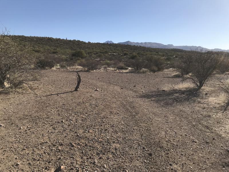
We started by meeting around seven in the morning at Bartlett Lake, a reservoir on the Verde River with an established marina and campsite. Leaving her vehicle near SB Cove we then drove up to a gated service road and parked my van before heading down the road on foot. Basically, we had set up a shuttle and were going to be traveling downstream with the Verde River back down to Bartlett Lake. For now, this road had a slight climb to warm the blood in the chilly morning air and gave us a great view east towards the mountain ridge.
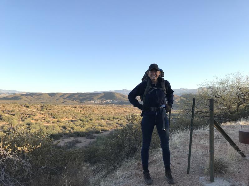
Tara being far too excited about the trip
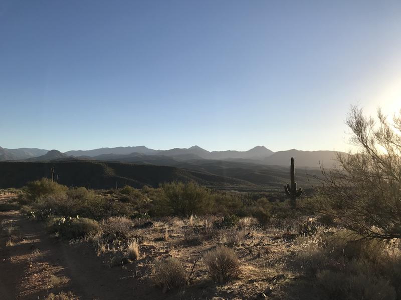
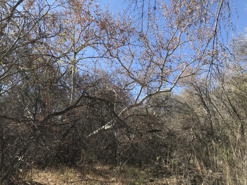
Mazatzal Ridgeline in the early morning light
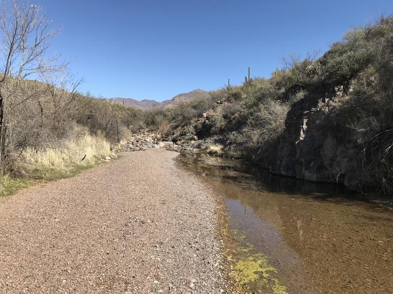
The road then dropped and swung south, so we had to cut off into a wash in order to continue to the Verde. There was a nice little trail down here that made our lives easier. Then we picked up a second road, followed it east, and ended up on top of a river gauge some thirty feet above the river. Apparently getting to the Verde River was harder than I initially thought. We had to slide under a barbed-wire fence and slide down a slope to reach the edge of the rushing water.
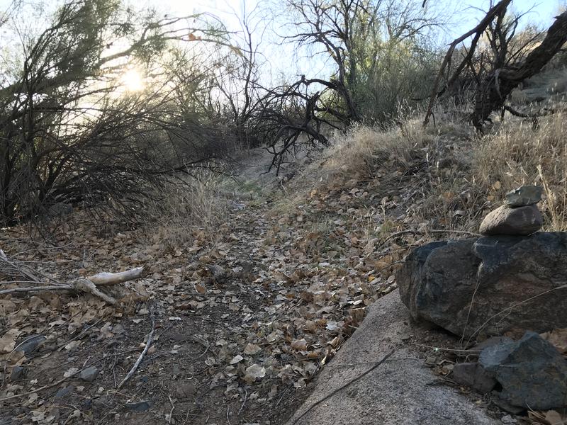
Short, well-marked connecting trail between roads
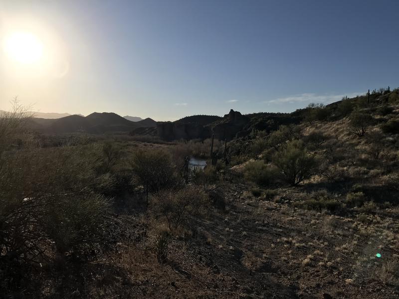
High above the Verde River
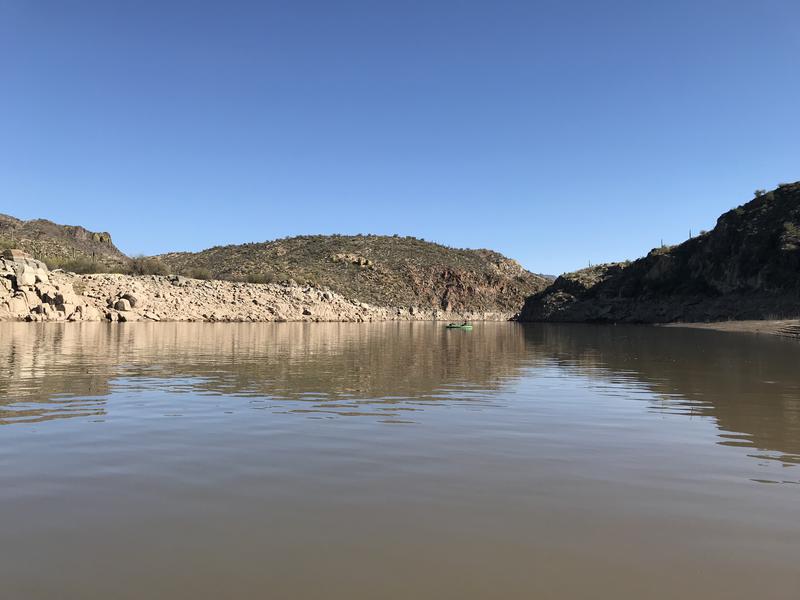
My naive plan was to just wade across the river here. After all, last fall I had crossed this river twenty miles upstream with a pair of flip-flops, and there hasn't been much rain since then. This was not a good spot for crossing. We could not make out the bottom and the water was moving fast. After some bantering it was decided that we could deploy our secret weapon for this hike early: inflatable kayaks. Ten quick minutes later and we had two boats ready for the sub-minute crossing.
Getting ready for a lazy crossing
On the eastern bank we deflated the kayaks and got ready to push on. They seemed like overkill for such a quick crossing, but there are only two dry ways to cross the Verde River up here (Horseshoe Dam and Sheep Bridge) and those are both too far upstream to be worth it. Wading across is always an option, providing one found a good spot and was willing to take the risk. Tara and I were hauling them for our exit plan already so I suppose it was okay.
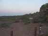
After puttering around for a while we found an old, overgrown track that headed up the bank. This was actually the end of FR 477, which I had walked along almost a year ago to reach Copper Camp Trail from Sears Trailhead. Seems forever ago now. The track headed up over rocky ground to a small flat where a twisted trunk marked a bend in the road. I recognized the odd piece of wood from a picture online - the unofficial start to Fig Trail.
Low-key start of the trail
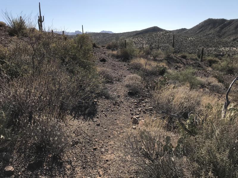
An easy tread to follow
Turning south off the road we headed down what looked to be a trail, though there was no sign or cairn to mark it. After five minutes of straight tread that seemed too consistent to be a fluke we decided we were on the right path. It crossed one small wash before dropping into a second, deeper wash, which appeared to have completely washed out the tread long ago. At the bottom of this second drop there was water from an unnamed spring, always a nice surprise, though there was no clue on how we were supposed to continue on.
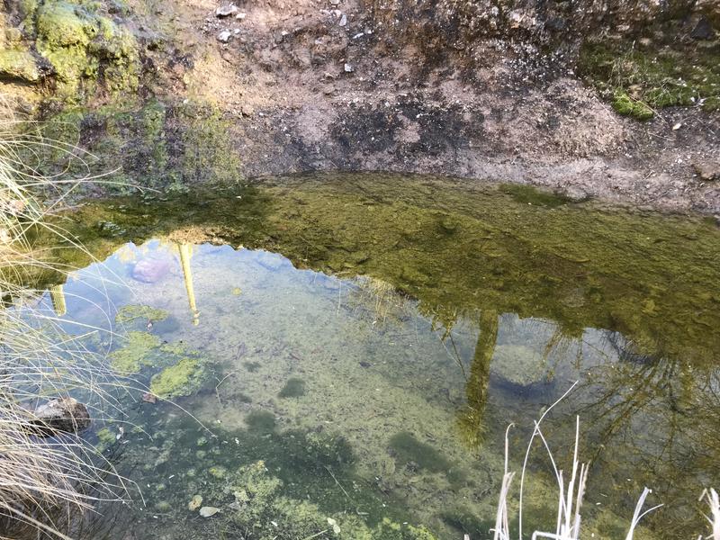
Great water source along the trail
Downstream seemed to be very cliff-y, so we headed up a short distance and followed a small tributary to a game path, which lead us to the top of the far bank. Now there was only a hill between us and the suspected trail. Hauling up the hill with heavy packs was annoyingly tiresome and we reached the top a bit tuckered out. On the far side I could make out a route, cheerily heading off to the left, so we headed down and followed that. I'm not sure where it came out of that wash and didn't care to find out right away.
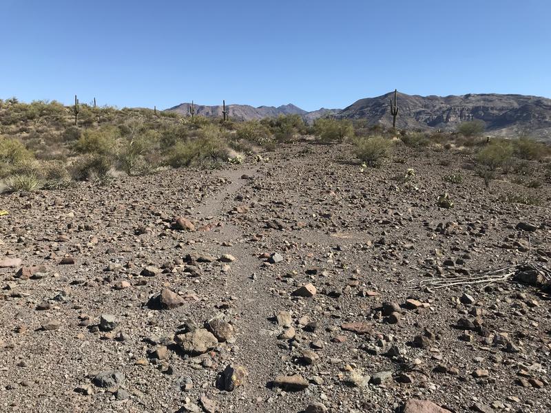
More obvious trail to follow
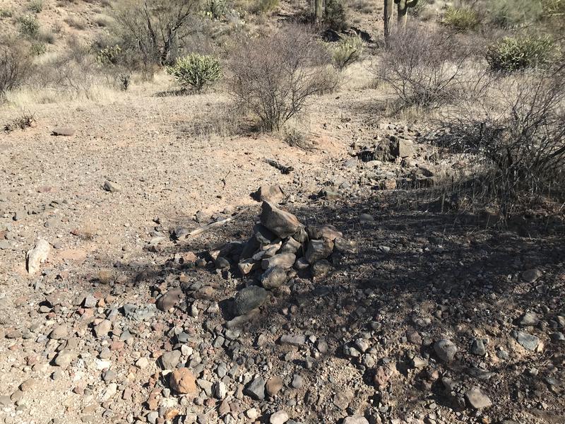
One of the few cairns along the trail
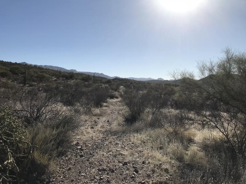
The next hour passed along with little excitement. There were a few more washes to cross, none of them confusing, and the trail was easy to follow through the low brush. Some cairns showed up every once in a while - not enough to depend on, more like a friendly reassurance that the tread was real and not just a game trail. Tara and I chatted about life and other gossip, probably keeping any wildlife in the area well aware of our passage.
At some point we dropped into a shallow wash and our trail followed it upstream, then up and up to the head of a little valley. Once on top of the ridge we looked around, somewhat surprised at our surroundings. It was stark and rocky, with almost no vegetation, a stark contrast to the Sonoran desert we had spent all morning in. There was a weirdly clear trail leading left so we headed that way, even though our instincts told us to head down the slope.
Interesting section across the rocky moonscape
There was plenty of confusion to be had on the ridge, even though the clear trail seemed like an obvious way to go. At one point we decided to leave it and head down into a very steep creek. Looking back at our track I wished we had stuck to the ridge, as it would have made a much easier journey, and there's no way a trail designer would have gone the way we did. It was a dangerous drop down and even worse climb up the other side, with loose scree over bedrock for much of the way. Once we reached the top there was one more little drop over to a grassy flat, another jarring shift compared to the morning hike, and ahead we could see the bare trees around Sheep Creek.
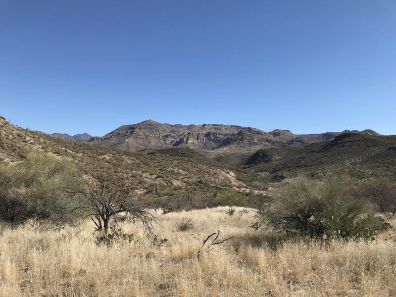
Looking over at SB Mountain
With little grace we tumbled down towards the creek, sometimes following a path and other times just sticking to a red-rock tributary. There was some giddiness in the air - the thought of reaching the end of the trail, our planned lunch rest stop, was elating. There was a corral along the way, and some interesting rock formations, and an old wire fence to slide through, and all of those were just minor distractions to our goal.
Things began to get overgrown beyond the wire fence. Our tributary became too thick to follow and the banks were only slightly easier. Excitement ebbed as the pace slowed and we had to fight for every yard, especially as our overloaded packs caught on every little branch. When we did bump into Sheep Creek itself it only added to the frustration, as there was enough water flowing to complicate crossing from one side to the another. By the time we reached the spring and cabin we were both sweaty, scratched-up, and more than ready for a break.
Thick vegetation and big trees near Sheep Creek
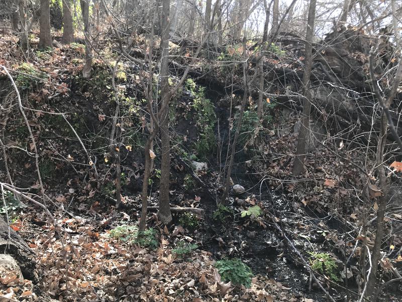
Trickling water at Fig Spring
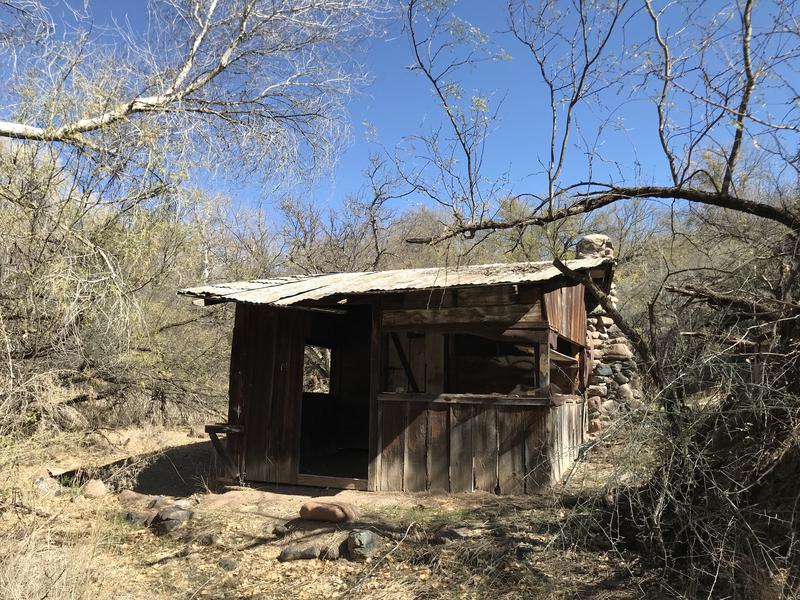
Old cabin at Fig Spring
At least the cabin was a neat find. Someone had recently cleaned up the interior, leaving an old wood stove and some random camping goodies hanging from the rafters. Last picture I saw of the place looked to be half-full of rodent shavings. There was a small corral and front yard, where we ended up resting and having a short lunch. It was hot out today, with almost no breeze, and it felt good to sit back and enjoy some water and snacks. Neither one of us were looking forward to tackling the brush along the creek, anyways.
Winter hiking in AZ
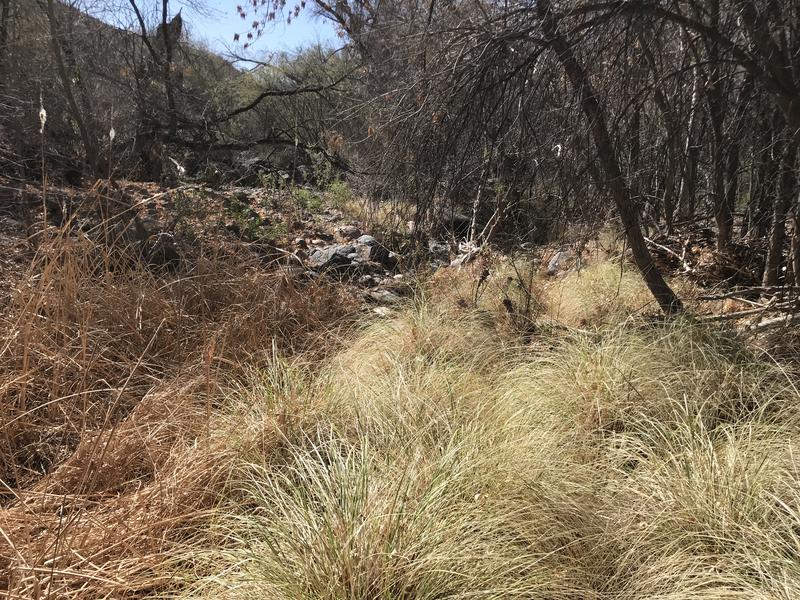
Too soon we were back on the route. We had finished Fig Trail at the cabin and now we had to head down Sheep Creek toward the Verde River. Tara seemed to find easier paths while I pushed through the thorns, drawing blood from a half-dozen cuts. Then again, she may have thought I was finding the easier way forward, as I heard more than a few curses from her along the way. It took us forever to push through a half-mile of thick growth and break through to the far end, where the water was swallowed up by the sand and we finally got a break.
End of Sheep Creek slowly being swallowed up
Hiking in the sandy creek bed
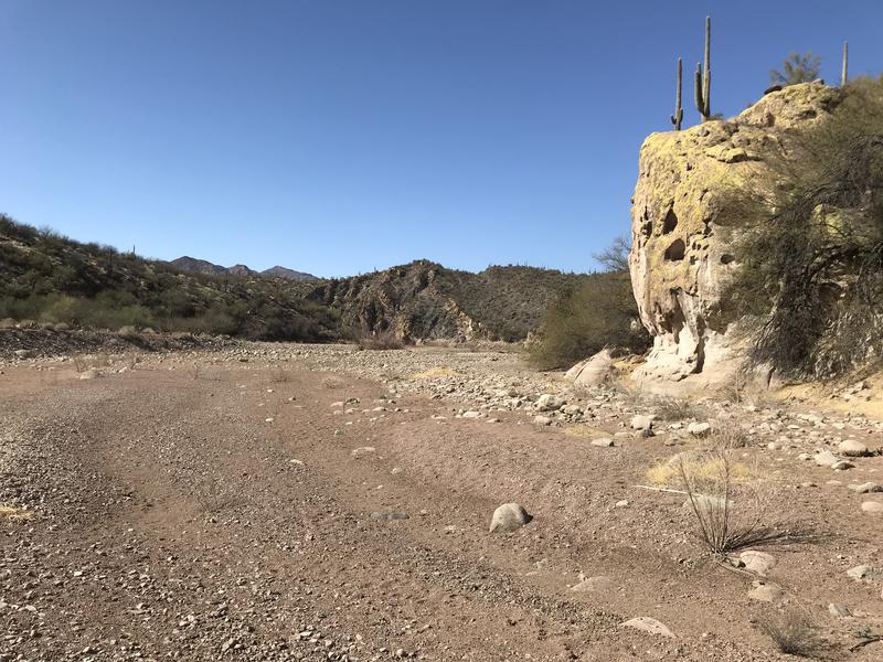
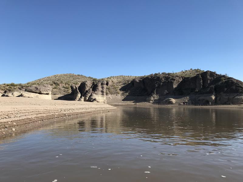
A mile of clear, sandy walking was a pleasant reprieve from that brush. Plus the banks made for an interesting environment, soaring up on either side and chilling us a bit with their shade. We explored a few caves and meandered downstream, eventually ending up next to the Verde. I was pleasantly surprised to see how low Bartlett Lake was from this perspective. When it's full it tends to creep up Sheep Creek and would give us many miles of flat-water paddling. Now it was at quite low and the river was running good, which I suspected would give us a nice boost down.
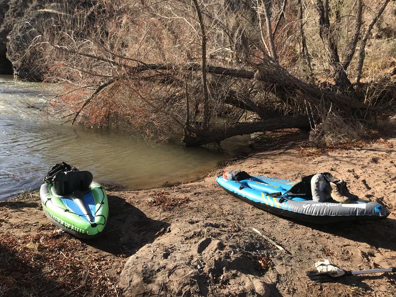
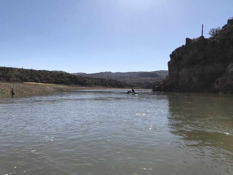
See, we had just walked roughly half the distance between our two vehicles, knocking out Fig Trail along the way. There was still six miles of water travel to go to return to SB Cove and where we left a vehicle this morning. Time for kayaks. We sat on the rocky banks and re-inflated them, securing our gear and pushing off in a calm eddy.
Time for some floating
I immediately had issues, running aground over the first set of rapids and swinging sideways over an underwater boulder that scraped the bottom. Of course neither my sister or I had life vests on, because we're too cool for such things, so I held my breath and waited for the air to start leaking out. Luckily the kayak was sturdy enough to handle my reckless behavior and we continued downstream. Tara, who is around fifty pounds lighter, had no problems going over the rapids or skimming quickly ahead of me.
The next few miles was more of the same. She kept comfortably far in the front and I blundered around in the rear, often being forced to step out and pull my vessel along by hand. By the time we reached the flat water of the reservoir she seemed to give up on me and lazily drifted ahead while I huffed and puffed over my paddle. Either the inflatable kayak or my rudimentary skills made this leg of the trip less than enjoyable.
Lazy going down the river
Tara easily beating me down the river
With a mile left to go my paddle snapped in half and I was stuck next to Bartlett Flats, which sits on a curve of land on the closer side of SB Cove. I called it and swung to shore, awkwardly pushing along with two half-paddles, one in each hand. Tara was too far ahead to see my misfortune so I figured I'd just deflate and hike over the land to the vehicle. It only took a few minutes to pack up and get moving, and my legs couldn't have been happier on dry land compared to the plodding pace on water. I met her just as she was loading up her kayak on shore and we managed to drive back to the van and complete the shuttle before sunset.
Part of me was glad to finish Fig Trail and experience a multi-sport adventure like this, though I'm in no rush to touch a kayak anytime soon. I also felt bad for my sister, as this was a rather lame intro to the Mazatzals. Just means I'll have to find an excuse to take her on the old South Fork / Gold Ridge Loop or even on Mazatzal Peak. Until then we can enjoy our water-reflected sunburn and I have to put up with her bragging how she out-kayaked her older brother.
-
Jacob P Emerick
Apr 16, '18
Hi Rick, glad to hear from you. I also updated hikearizona.com w/ a GPS route and description, if that helps too.
Add to this discussion