Mazatzal Peak Loop: Retreat down Barnhardt
Sleep did not come easy on the banks of Horse Camp Seep, though it was mostly my fault. The campsite was perfect and the night sky was clear and beautiful, filled to the brim with stars with only a dim glow of city far to the southwest. I was just not prepared for the cold temperatures. My lightweight bag is only rated to 50 and my tent is literally a mosquito net. I'm not sure how cold it got that night but it was sure lower than the forecast and my bag's rating. Shortly after midnight I ended up fishing out my poncho and pulling that over like a blanket, which gathered a lot of condensation and gave me enough extra warmth to get short rests until the morning. As soon as the light began to touch the sky I tumbled out, packed up my gear, and got on the trail. Nothing like a brisk hike to keep the shivers at bay.
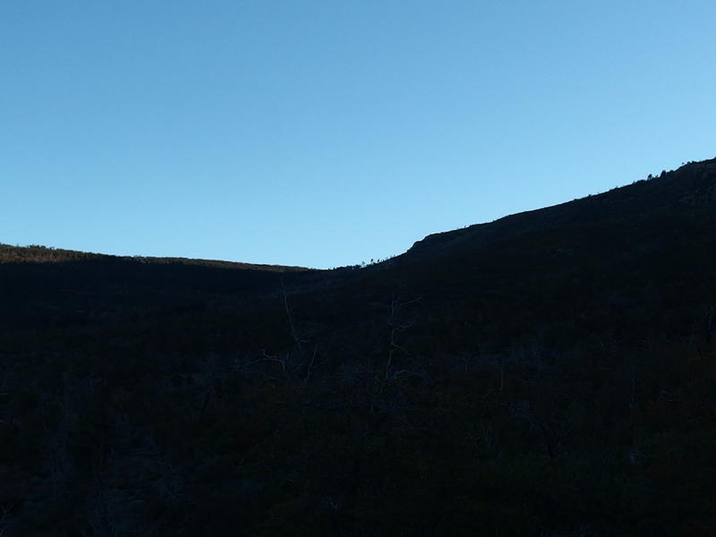
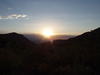
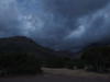
Dim silhouette of Sandy Saddle in the morning
Yesterday I had decided to cut my trip short by a full day and fifteen miles. Instead of attempting the loop down into the western Mazatzals I was just going to backtrack to Chilson Camp and retreat down Barnhardt. I wasn't in the mood for bushwhacking, especially through overgrown manzanitas and desert growth, and my right heel was getting rubbed raw in my new boots. It was already bleeding after a single day and I didn't want to know what two more days would do to it. Plus my stomach was feeling off, which I hoped I could blame on over-eating yesterday and not something I picked up from the water. Eh, I could list plenty of excuses. The short of it is that I had a decent day yesterday and was ready to head home to Katie and the kids today.
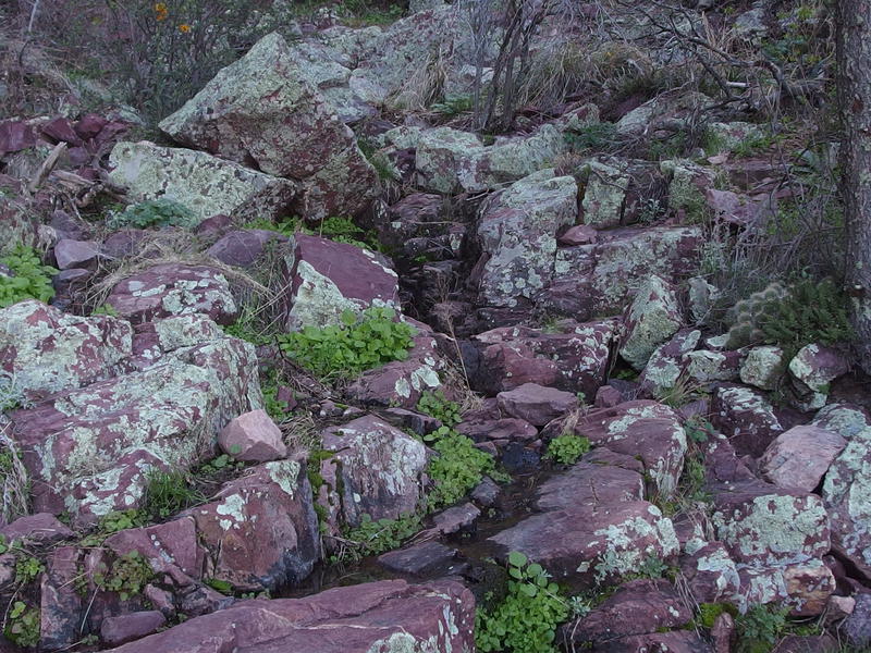
The trail was bland and mostly in deep shade, the rising sun blocked by the Mazatzal Ridgeline. I raced through it, partly because there was nothing new to see here and partly because my legs weren't that excited about moving today. The sooner I got to the water tanks near Barnhardt Trail and refilled the sooner I could eat breakfast and get my second morning wind. I stopped a few times to drink water pulled from Horse Camp Seep, hoping to drain a few liters before breakfast, and was filling nice and hydrated by the time I passed by Chilson Camp. The last half mile of trail was a steady uphill into morning sunlight, a steady uphill that drained more energy than it should have, and when I finally reached the large campsite near the Barnhardt junction I tumbled in and rested for a few minutes before starting breakfast, trying to let some of the accumulated sweat dry before middling around with boiling water.
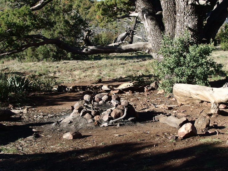
Campsite near the Barnhardt Trail junction
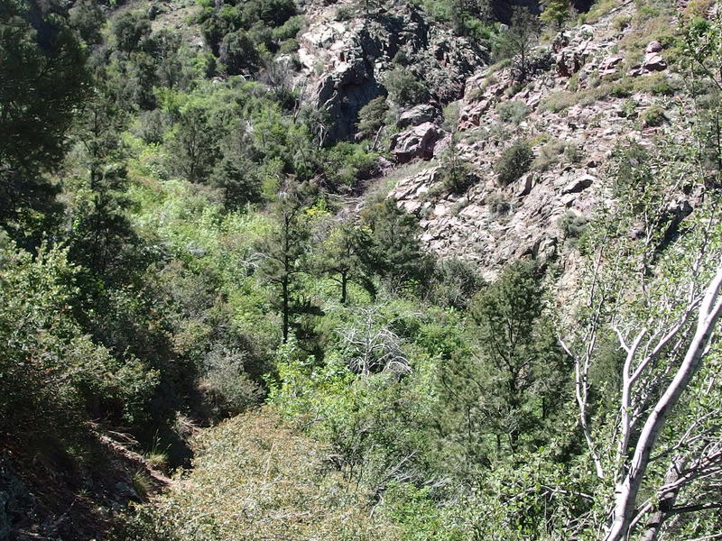
Breakfast was a luxuriously slow affair. I made oatmeal and coffee, nibbled on a granola bar while the oatmeal set, and took some time to review my map after the last few bites were gone. Barnhardt Trail looked to be a bit of fun. It follows the contours of the northern face of Mazatzal Peak, zipping in and out and bouncing around for a few miles before committing to a steep drop down one of the tributaries of Barnhardt Canyon. That drop had some pretty interesting switchbacks, or so it looked, and most of my elevation drop would happen within a mile or so. After that it was a simple stretch over to the parking lot and I'd be right back where I started. A hair over six miles to go and I'd be on my way home.
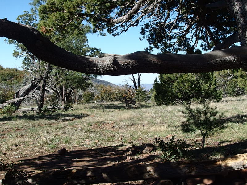
A pair of timid deer in the shadows
Once the two deer wandered away from the campsite I cleaned my gear, switched out my socks, packed up, and started over to Barnhardt Trail. My heel was not doing great. The four miles this morning from Horse Camp Seep had broken open whatever healing occurred over the night and it was twice as bloody as before. While I don't like cutting hikes short and like backtracking even more, I was very glad I wasn't at Club Cabin right now. It would have been a very long hike back to the van from there and I just didn't have enough band-aids on me to keep my foot in one piece.
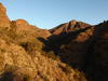
Looking down the drop of Barnhardt
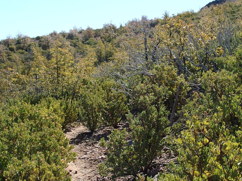
More scrubby growth intruding on the trail
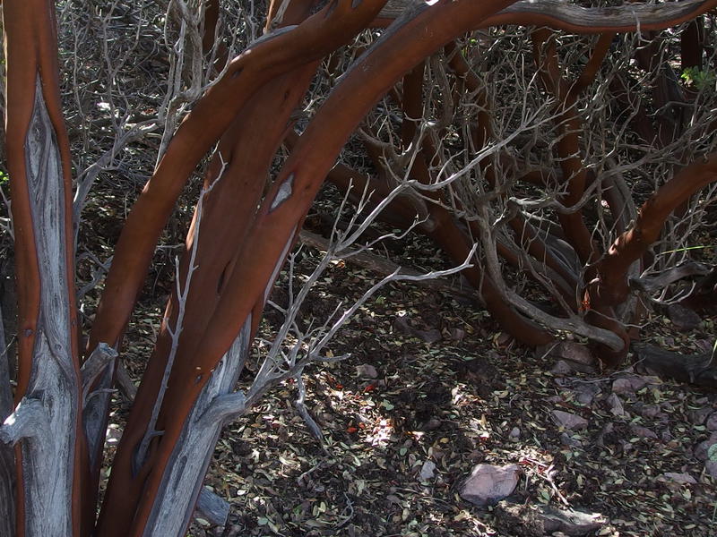
Sculpted trunk of some old manzanitas
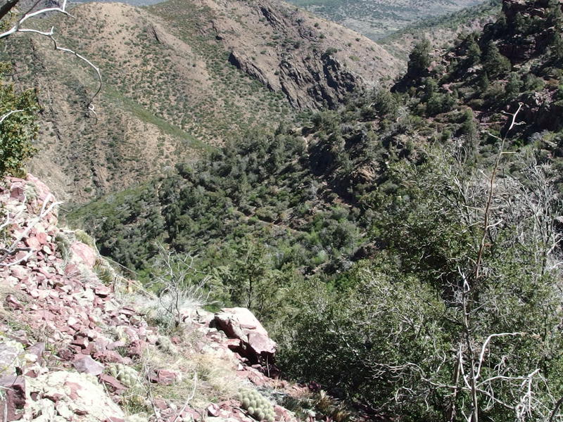
The view down from the trail junction was pretty grim. Hills and hills of manzanitas, no obvious way forward or trail cut or shade in sight. At least the trail seemed wide enough, mostly. As I started down there were a few brushy arms that reached out to poke into my legs, painful prods and scratching attempting to break the skin, yet it was nothing like the section of the Divide Trail between Chilson and Horse Camp I hacked through earlier. A few downfalls, a few ambitious plants, and a steady downhill grade that I cruised down quickly.
Around ten I bumped into my first group since those two thru-hikers from last night. A large group of twenty-somethings were heading up the trail quickly, decked out with climbing gear and ropes. I asked one where they were going and was very jealous of their answer: they were heading down into Barnhardt Canyon. So they must be taking this trail up and the rugged, water-filled canyon back down. That's pretty awesome. I've seen pictures of the canyon and it looks magnificent, though it is the type of adventure you need rope and plenty of skills to navigate.
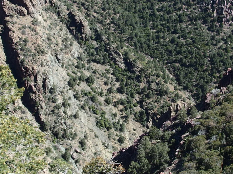
Sharp drop down into Barnhardt Canyon
Wide open view to the east
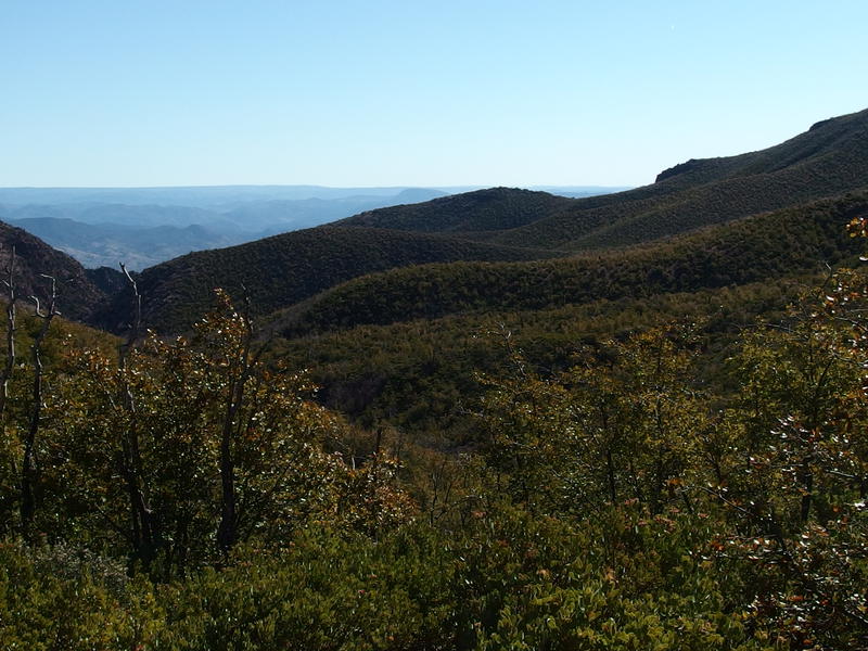
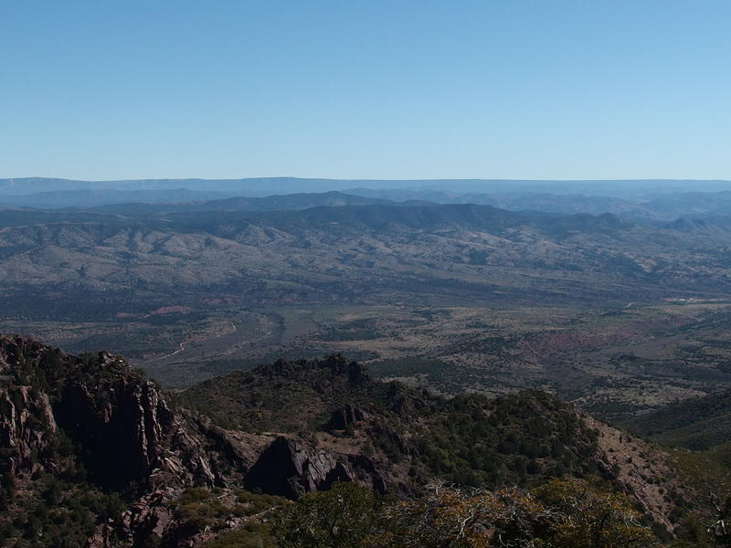
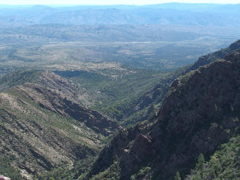
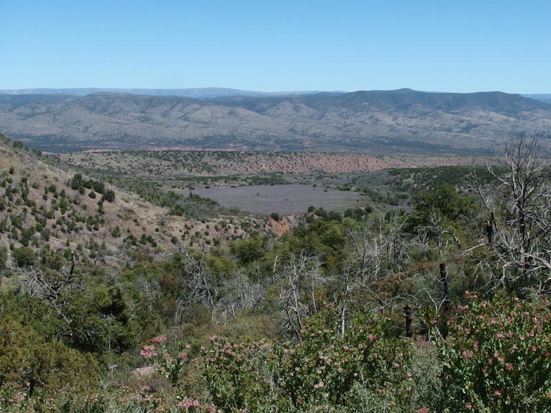
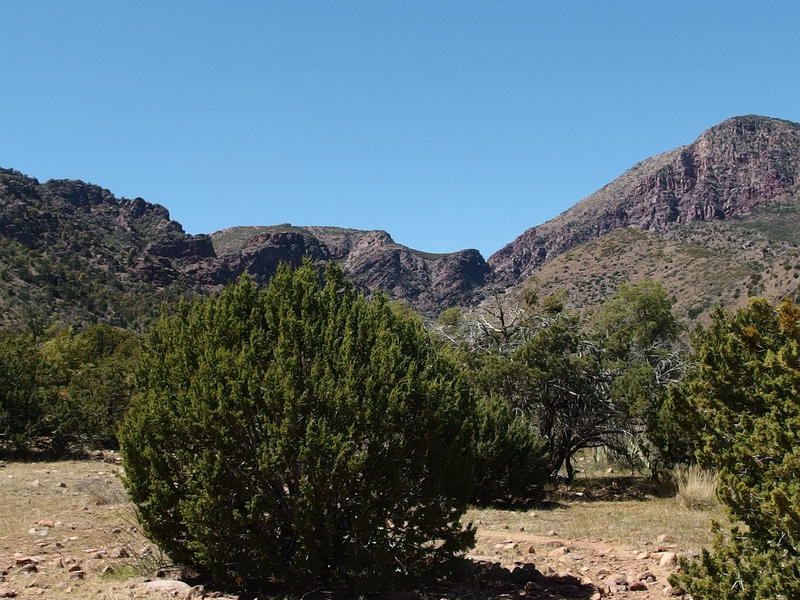
Shortly after meeting that group the trail swung wide to north around a prominent ridge and an epic view opened up ahead. I was still at 6000' and the parking lot was a mile away (as the bird flies), a fairly dramatic difference that I've only experienced on the steepness of Flatiron. And the view beyond the parking lot was ridiculous. Far away to the east, barely in the horizon, was the long straight line of Mogollon Rim, and everywhere in between was rolling hills that started with desert scrub and transitioned to green pines as they rose up. There just has to be some good hiking between here and Payson in that greenery, land that hadn't been burned like the Mazatzals, even if that land probably may not have that much water to support adventuring.
The parking lot in view, impossibly close
The trail swung back to the south, wrapping around the ridge, and began to drop into a deep gorge. I dropped with it for a short distance before plopping down for a break. I wasn't necessarily tired, though the exposure so far today had been wearing on me. I wanted to drink more water. Yesterday I had consumed a total of eight liters throughout the day and I planned to get through another five today. Historically I've tried to limit my water intake on desert hikes, only drinking between two and four liters throughout an entire day, in order to avoid hypokalemia (sweating out all the salt/potassium and only drinking water to replace). This trip I was trying to supplement with some electrolytes added to my water, dosing every couple of liters with the extra stuff. I wanted to push water, never allowing myself to go thirsty, and see if the electrolytes held off the cramps.
After finishing another liter I pressed on, following the trail south over a narrow knife and down a steepening slope. A nice surprise on the way - I entered shade created by the high rock walls around the trail. I didn't expect shade today, not with all of the short little manzanitas. The other surprise was a small waterfall emptying out of a narrow crack in the rock wall. The pool at the bottom was almost big enough to sit in and splash around, though it was so close to the trail that it'd be likely that another hiker would stumble upon fairly regularly. I filled up some water from the blue-green pool, drink some more, and then continued along the trail as it hugged the rock wall.
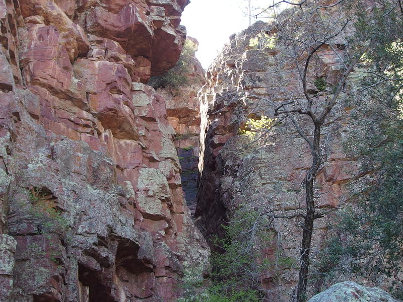
Crack of a narrow creek
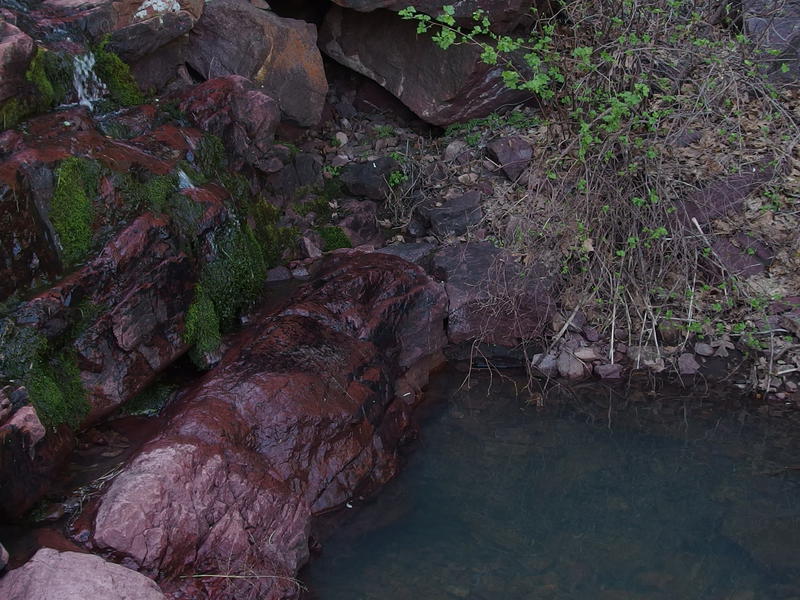
A deep blue pool for easy filtering
Immediately after passing the waterfall I began to bump into groups, most of them planning to only go as far as the water. There was all kinds out here - older couples with big cameras, couples wearing short shorts and tight shirts, and families trudging up in straggling formations. I talked to one group planning to push on to Chilson beyond the junction, though they looked tired enough already for me to wonder if they'd make it that far. This trail is the most popular one in the wilderness, or so I've read. I just found it surprising that so many people would hike the three miles and 1700' climb just to see a half-hidden waterfall in a rock crack.
A group of sharp switchbacks
Trickling water flowing down red rocks
There were a few more creeks that trickled down from cracks in the rockiness of Mazatzal Peak, none as big as that upper one, and then I got a good look of the switchbacks ahead. They looked pretty intense and I had some flashbacks of hiking the Grand Canyon with Chris. Gosh, that sounds fun, to try the Grand Canyon again. Anyways, they swung back and forth in quick succession, all under decent tree coverage that looked to provide some good shade. It didn't look like I would ever drop into Barnhardt Canyon, though.
See, Barnhardt Canyon drops down from up by the trail junction and passes right next to the parking lot. The trail stays on the south of the canyon, roughly parallel the entire distance. Which is a bummer, because I'm pretty sure the canyon has year-round water, and the only way to reach that water would be to bushwhack off-trail like those canyoneers from earlier today must have done. Even now, with these intense switchbacks dropping hundreds of feet, the trail only dropped into the creek formed by the large waterfall I had already passed. Hiking within Barnhardt Canyon just wasn't going to happen today.
Green trees in the creek below

Trail cutting a sharp line in the rock wall
Zig-zagging down the trail was only somewhat tedious. After the numerous switchbacks at the Grand Canyon the half-dozen here seemed like child's play. Soon I jutted out on the last point, less than a hundred feet above the canyon, and rounded to see a well-formed trail cut into the steep rock walls. This trail was serious. This was no old rancher's path, this was something that the forest service blasted and hew out of the hard rock. I pushed on a short distance, rounding a few more bends, before stopping for a lunch break. A mile left and it was barely noon, it felt like a good time to take a break.
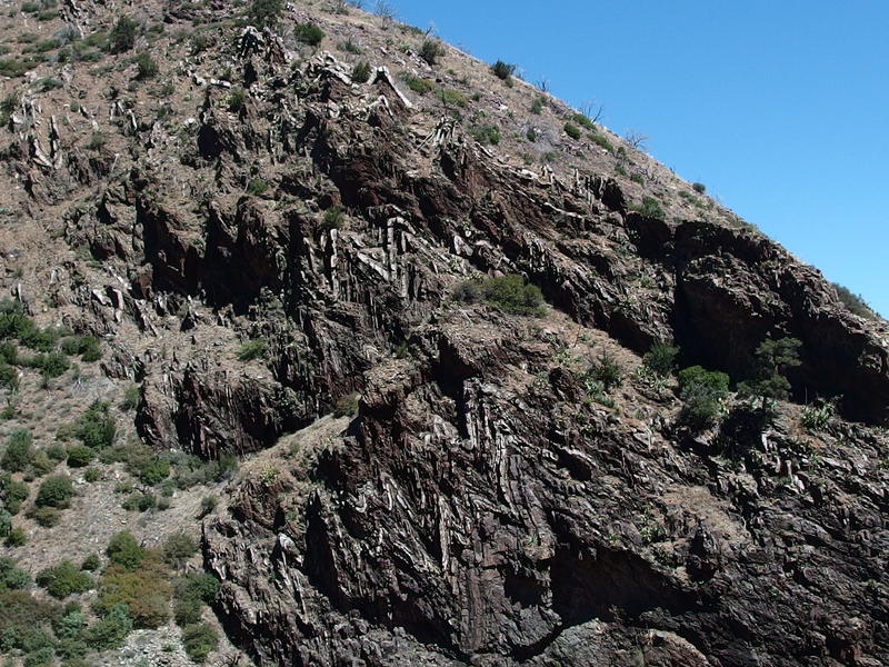
Zig-zag rock layers on the wall
After downing my last liter of water (bringing my total to five, with no cramps - the electrolytes seem to work) I lumbered back up and pushed on. The rest of the trail seemed simple, dancing along the side of the deep canyon and going through forests of Pinyons and burned stumps, and I trotted along quickly. Fire damage was interesting to see here. I had walked almost two miles without seeing much damage, meaning that the fire must have climbed up and over Mazatzal Peak but skipped out on a portion of the canyon. Same thing with Horse Camp Seep and that stand on the Y-Bar. The devastation wrought from the Willow Fire was not total. Perhaps these stands will help speed up the recovery out here.
The weird field of grey next to the parking lot
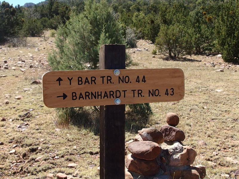
Sharp-looking trail sign for the main junction
I reached the end of the trail and was surprised to see a new sign marking the split between Y-Bar and Barnhardt. This was new - must have gone up within the last twenty-four hours. It also gave me some optimism for the Mazatzals. Yes, there are trails that are completely overgrown and missing trail signs, plus all that fire damage, but people are still working to bring it back. Maybe in a year or two the Davenport Trail will be marked and cleared and it'll be much easier to head down from Chilson Camp to Club Cabin.
Bright sun lighting up the Mazatzals
After I unloaded my pack into the van I peeled off my boots carefully. The heel of my right sock was completely soaked in blood, as was the inside of my boot and insole. Well, now leaving early because of a deep blister wasn't such a lame excuse after all. I was out of bandages, using them all up out on the trail, and had to use a wad of fast-food napkins held in place by a dry sock to avoid bleeding all over the van. As I drove back towards AZ-88 I made plans to return the darn Keens and go back to high-top boot. Maybe I should have just stuck to my five-year-old Vasques... Some duct tape might give them a few more trips.

Comments (0)