Barnhardt - Sandy Saddle Loop
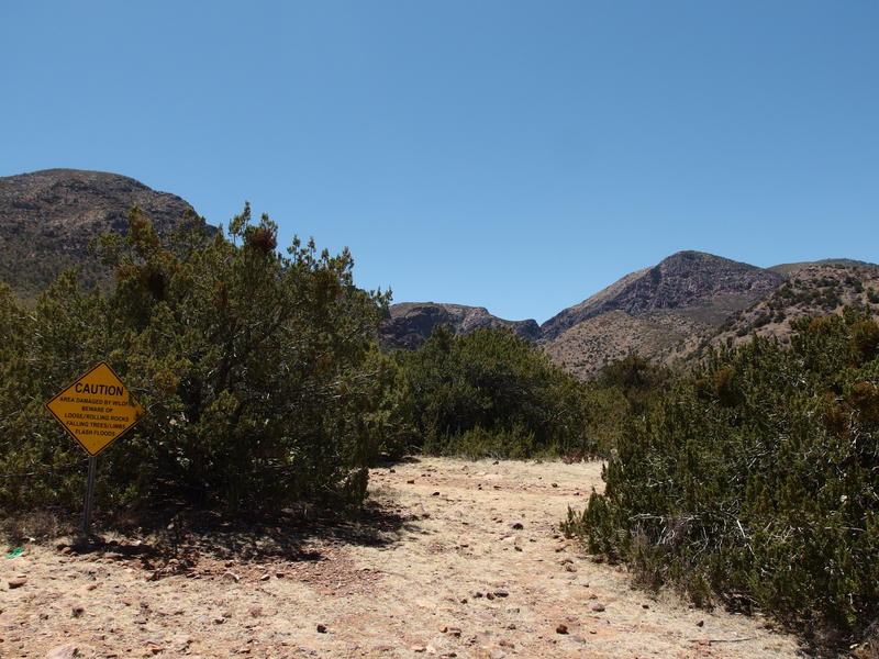
When June rolled around I had a startling revelation: it was almost halfway through 2018 and I hadn't stepped foot in the Mazatzal Wilderness. That's a dirty shame. With time constraints holding me back from doing anything too intense I came up with an easy day hike starting from Barnhardt Trailhead that included rough trails, familiar views, and enough distance and elevation difference to make me sweat. That is, the Barnhardt - Sandy Saddle Loop would be a great hike for 2018.
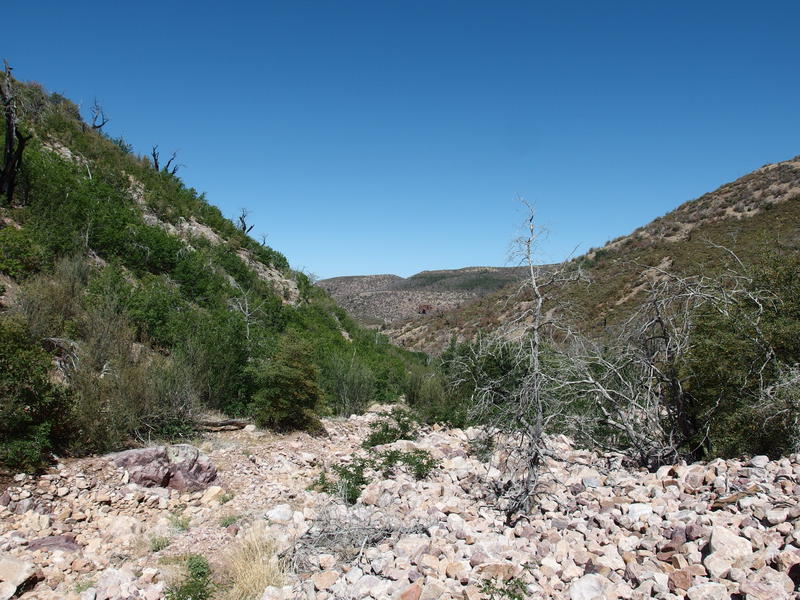
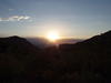
It takes almost two hours for me to drive to the trailhead. Even with a painfully early wake-up time I barely reached the trailhead before the sunrise. Yawning and stretching I pulled on a pack with a few snacks and a gallon of water and headed up Barnhardt Trail. Soon the sun popped up and lit the canyon in brilliant early colors, bringing a rush of heat along with it.
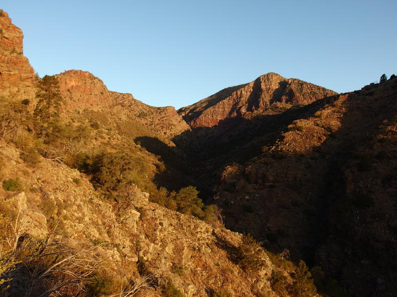
Early morning light on Barnhardt Canyon
Temperature along the trail was interesting. The route follows the side of the canyon, always climbing, and swings in and out of multiple drainages. Each time it sucked in I passed through a pocket of cold air, enough to give me the shivers. Most of the time I was hot. I tried to hike hard and fast, treating this section more like a workout than anything else, brushing the dripping sweat out of my eyes as I climbed and climbed.
There are two waterfalls along the trail, though both were dry today. I wasted some time at the second one. First I looked for a way to climb up, playing with the rough rocks and a convenient chimney, and then a small side trail distracted me. The hopes of finding a secret campsite near the falls didn't pan out. Eventually I retuned to hot, steep trail.
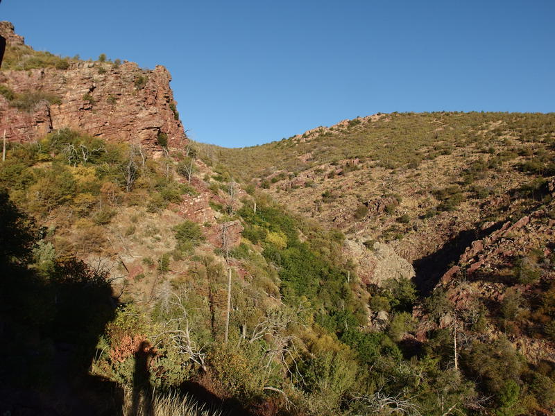
Trail dancing along the canyon wall
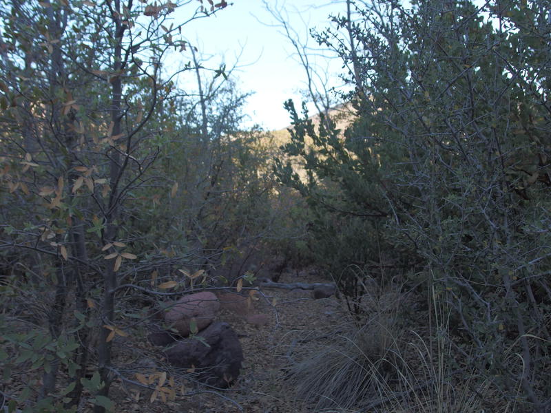
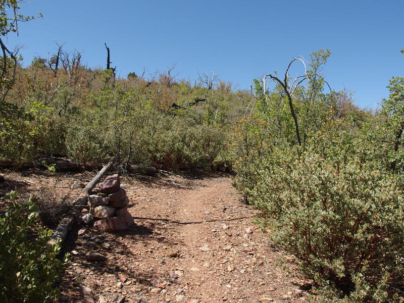
90 minutes after starting and I reached the first trail junction. Not bad, just not as good as I had hoped for. I turned down Sandy Saddle Trail, which was semi defined for a hot second before fading into manzanita and deadfall. Stubbornly I stuck to the track, even when it followed a tempting drainage that was clear of brush, and managed to find both cairns and a large campsite, both of which I had missed on my first visit to this trail last year. Sometimes stubbornness pays off.
A hidden cairn along Sandy Saddle Trail
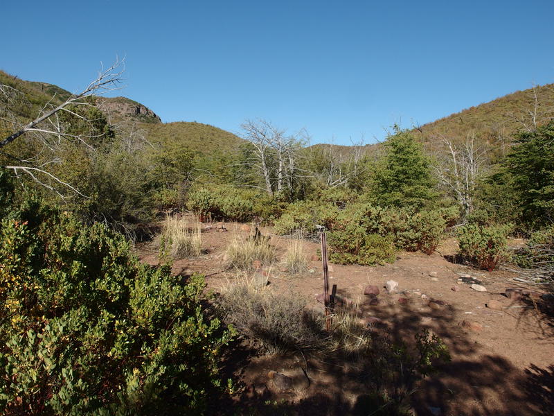
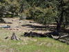
Old camp near Castersen Seep
There's got to be a story behind this camp. An old trail leads from here up to Barnhardt Saddle above, an alternate track from the current established Barnhardt Trail. Perhaps this was the old way of reaching Chilson Camp? Or maybe this was just an old cowboy camp if Chilson was overfilled? The history of this area is painfully sparse compared to the more illustrious Superstition Wilderness.
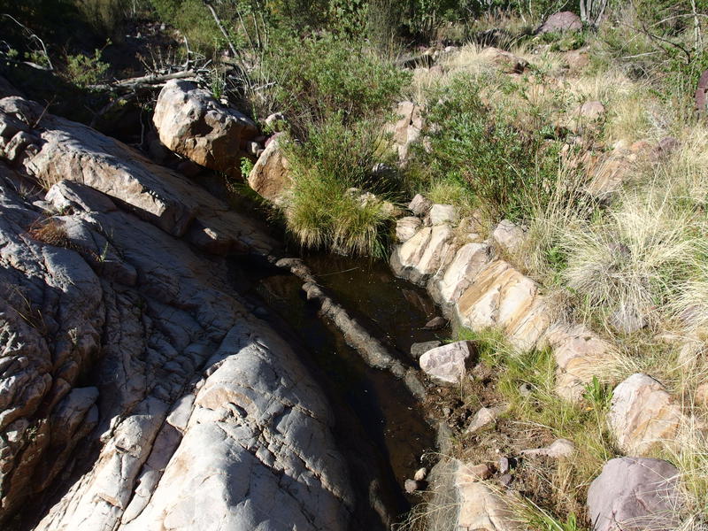
Few stagnant pools of water
I rested briefly at the stagnant pools of water at Castersen Seep. They looked about as murky and unappealing as they had last year. Given how dry this year has been, though, I took this as a somewhat positive sign: this must be a pretty dependable water source. Still didn't want to drink it. After a quick snack I got up, tried to find the trail leading up from the seep (unsuccessfully), and swung over to the drainage on the other side. The morning sun beat down on me and I regretted not getting an earlier start.
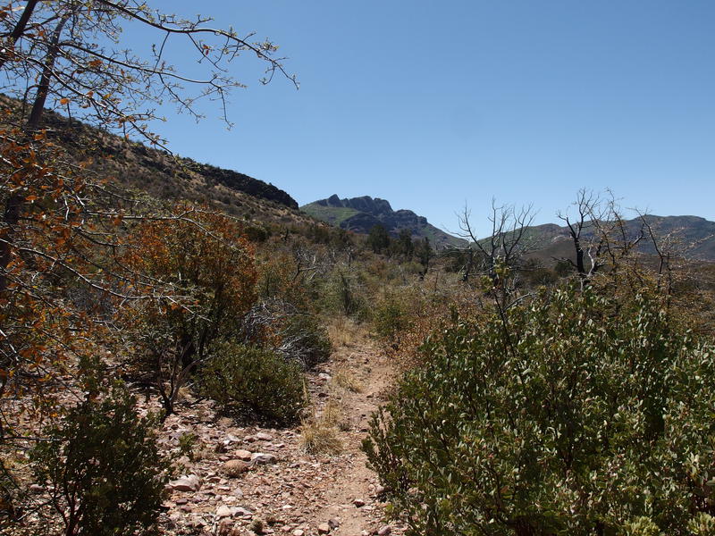
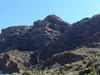
When I reached the drainage I tried to track the old trail, finding a few cairns and tread, and then gave up. The banks were thick with manzanita and washed out from the fire damage. Instead I resorted to rock-hopping in the dry creek itself. It's a short haul to the start of the main climb, a 750' change over .7 miles of ridge. At least it's exposed and gave me some good views of Mazatzal Peak to the south.
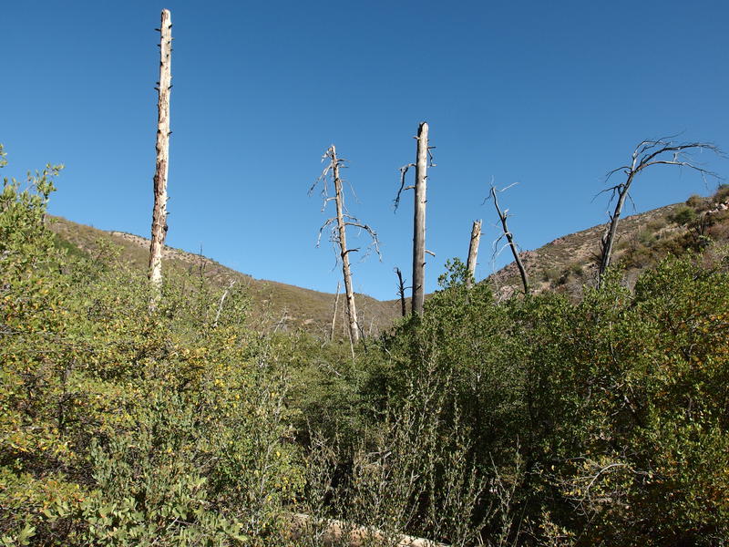
Signs of the Willow Fire of 2004
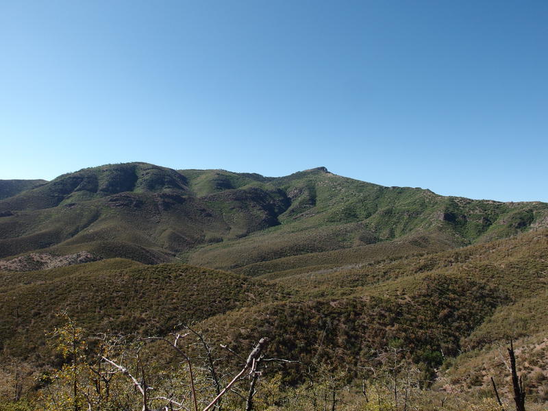
Looking south at Mazatzal Peak
After playing hide-and-seek along the ridge for what felt like an eternity the trail stopped climbing and swung to the right, making a generally-level straight line over to Sandy Saddle. There are a few inclines here, especially when the route swings in-and-out a few drainages, though they are reasonably short and easy to handle. The path is easier to make out as well. Before I knew it I was trotting over the saddle and on my way down the other side.
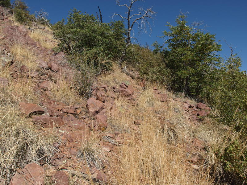
Tread hiding under long grass
A few steps later and I stepped on the tip of an agave. The tips pierced right through my thick boot and stuck the inside of my foot. There was a momentary shock of pain that ebbed away so I kept marching on, but when the shock of pain was replaced by a dull ache I realized that the tip was still in my foot. It was probably time for third breakfast anyways. I found a spot of shade and huddled in, drinking water and digging around with a knife looking for the agave.
There were no rock tanks to find this time around. Last time I was up here there were several tanks near the saddle, offering the campsite back at the saddle a convenient source of water, but they didn't appear to be dependable. I wasn't in the mood to filter anyways. Once I got my foot squared away and some snacks and water in me I was back up, trotting down the rocky creek, not really in the mood to hunt for an old and likely non-existent trail on the bank.
Taking the rocky creek downhill
The manicured highway of the Mazatzal Divide
One mile later and I stood upon the Mazatzal Divide Trail. It was as wide and well-maintained as ever. With no delay I turned south and marched down it, looking forward to getting to Chilson Camp. There was no wind to speak of, nor did the extra elevation provide much temperature relief, so there was little reason to lolly-gag. Well, I guess there were the views. With the open trail and fire-damaged surroundings there were plenty of views.

Ridgeline on the other side of Deadman Creek
Mazatzal Peak in the distance
Everything was so dry, especially up here. The bushes rattled as I walked past, the leaves were dull and brown, and the branches snapped sharply underfoot. I wondered idly how long since the last good rain had fallen up here… Maybe eight months? Or ten? There must have been some trace amounts over the winter, just not much. The dry land ached for rain.
I paused briefly along the way to check Chilson Spring and found a pleasant surprise. Not only was there clear water, the spring had been recently cleaned out and would be easy to filter out of. This was much better than the few millimeters of silty mess I had previously seen here. A game cam had also been installed, making me wonder if the forest service had done this work. If so, perhaps there were more updates coming to this land. Dare I hope for trail maintenance along Davenport or a spruced up Hopi Spring?
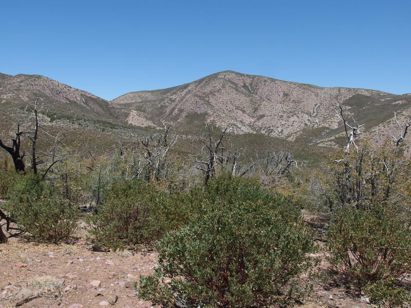
More dirt than green on some of these mountains
After Chilson it was only another mile to Barnhardt and then six miles of descent. I stopped right before the intersection of Sandy Saddle, where I had cut off several hours ago, and traced my route up the ridge to the saddle. From here it looked ridiculous - up close it was even more so. I shrugged and continued rolling down the hill.
Hot afternoon sun at the trailhead
Made it to the bottom after one, less than eight hours after leaving. Not bad for a 17 mile hike, especially with the several breakfast breaks. It was hot, reminding me in some bad ways of how I felt after the South Fork - Gold Ridge Loop last July. This was my first venture into the Mazatzal Wilderness this year - would I be waiting until the fall to come back? I sure hope not. I still have seventy-plus miles out here to knock out.
Comments (0)