Lake Dortay of the McCormick Tract
Rain never came that night. Instead the sky cleared, letting the full moon's light and icy air cut through the forest like a sharp wintery knife. When I finally pulled myself from the lukewarm cocoon into the freezing predawn air I was greeted by a thin sheen of frost covering every surface in sight. It was going to be tough to get moving this morning.
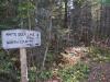
I was on the McCormick Tract, camping next to White Deer Lake within a stone's throw of The Fortress, and it was late in the year. Last night I had walked up from the Peshekee Grade, taking the well-trod path to the lake before cutting off and finding this camping site. The long walk and my heavy gear had tired me out. As I slowly made my way down to the water's edge, picking dry sticks and snips of birch bark along the way, my legs quietly protested the motion. Today's hike was going to be hard.

Sunrise over White Deer Lake
After a few unsuccessful tries to start a fire I decided to start my hike with a cold breakfast. Coffee was really the only thing that required a fire - I could live without oatmeal and had a few backup granola bars. Remembering old stories from my father's days in the Marines I tucked some coffee grounds into my lower lip, chew-style, and hoped the small burst of caffeine would be enough to get the blood flowing. The bitter taste filled my mouth as I started making my west, into the thick woods, on my way to Clear Lake.
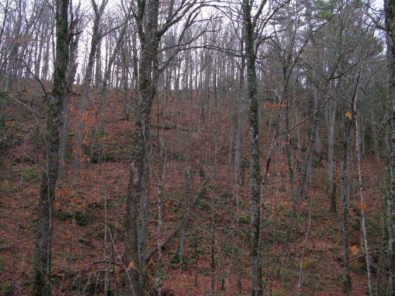
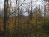
Based on the topographic maps I knew that there was a swampy area extending west from The Fortress, a flat marsh that sort-of connects with one of Clear Lake's inflow streams. All I had to do was follow the lowlands for a bit and keep a rather high hill to my left. Walking through the mostly dark woods I couldn't help but admire the huge hills around me, trees and leaf-covered ground reaching up to rock outcroppings up high. The land is not quite as rugged as the highlands closer to Marquette, the tortured ground surrounding Boise Creek and Mulligan Plains, but is still rather pretty in a slightly-muted fashion.
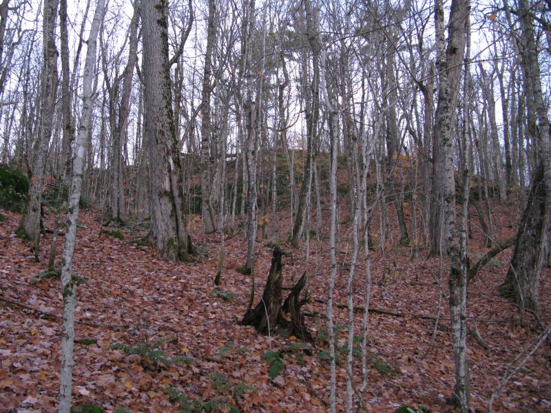
Tall leaf-covered hills
After twenty minutes of walking I checked on my GPS unit. I had successfully just walked in a circle. Apparently traversing this land, with numerous hills, swamps, and questionable topographic accuracy, was going to be tricky. I turned around and headed back, referencing my position on the small device more often, until I was next to the correct marshy lowlands.
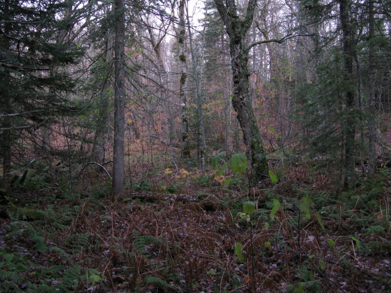
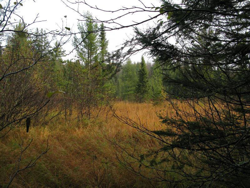
Swampy growth, soft earth
The squishy ground stretched west and I followed, passing by a possible trail/old road on the way, and eventually narrowing into a thin neck. I had my first option here, to continue west and follow the inflow of Clear Lake or cut up onto a hill on the north side. Delaying a bit I passed through the narrows, a bit shaken by the steepness of the hill to the north.
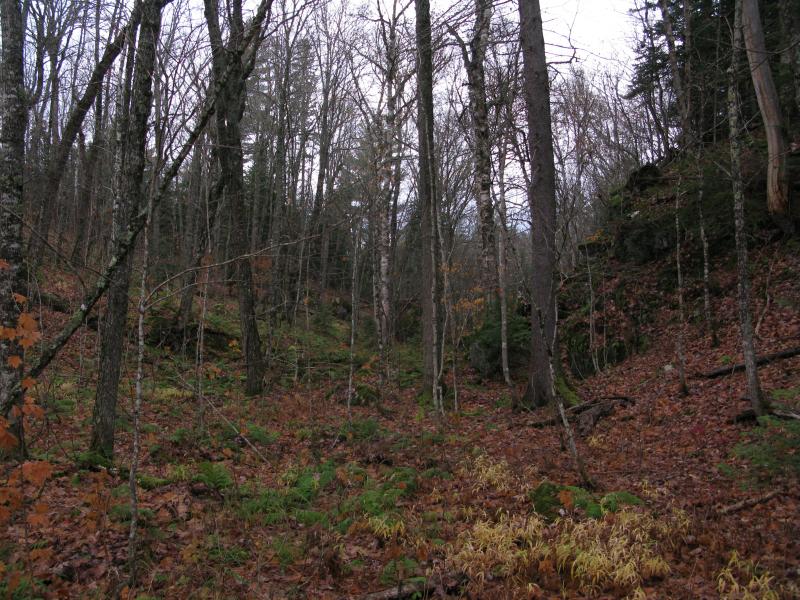
Through the narrows of the swamp
While the south slope reached up into a gentle hill, a smooth yet tall hill, the hill to the north was much more rocky and sudden. Huge boulders had tumbled down from it, lying awkwardly in the lowlands, covered in ferns and moss. I gently passed them by, waiting for the right moment to cut up the hill between the jagged rocks.
Small trees crowded around me when I finally climbed the northern hill, short pines that clawed and scratched at me from every direction. I pushed my way through them, protecting my face and pulling at caught clothes, forcing my way over and through. It was not a long walk, and it eventually cleared up, though not before I found myself regretting the choice to go over and not around. I wonder how bad following the marshy route would have been.
Down the steep gorge
Eventually I reached the canyon on the west side of the hill, the deep gorge that I would take back down on my way to Clear Lake. Half-tumbling, sliding on the slick, frosty leaves, I made my way down to a small, gurgling creek. I was surprised to see it running this late in the year, assuming that something this small would be limited to spring melt, and made sure to avoid the muddy softness at the bottom of the canyon.
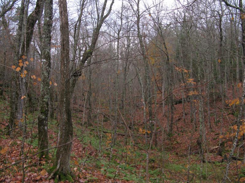
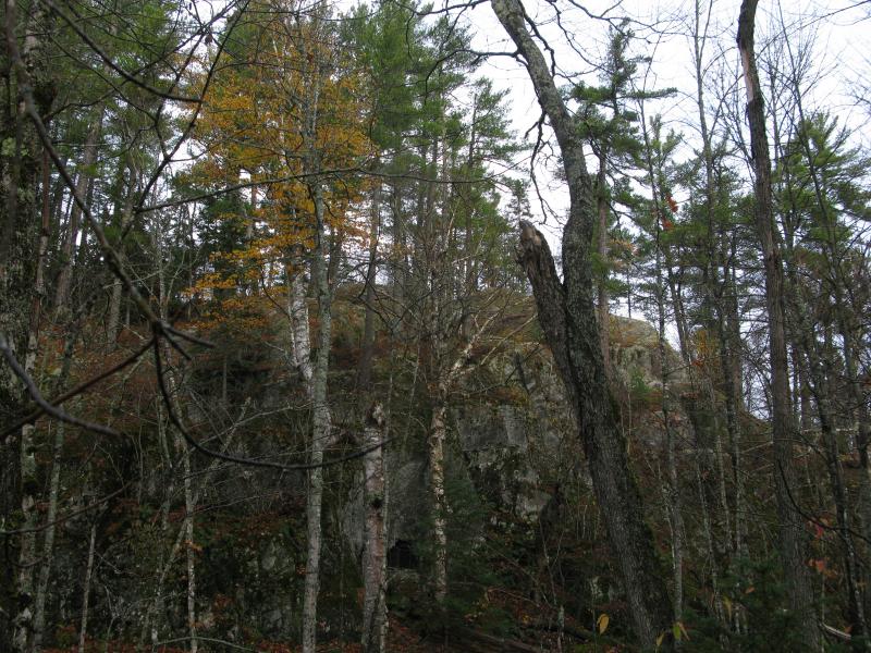
A tall, formidable wall
When I reached the flatlands between the hill and Clear Lake I found rather thick woods, close birch and other softwoods, and plenty of undergrowth. I didn't mind the clutter. I was on flat ground for the first time this morning and my legs were thankful for it. I strode along easily, quickly skipping over a slight rise on the way, and then pushing through another thick pine grove. Clear Lake was close - I could almost see the blue glints teasing through the branches. A few short minutes and I stood on the shoreline, shivering slightly as cold air drifted off the surface.
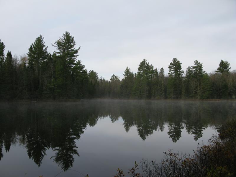
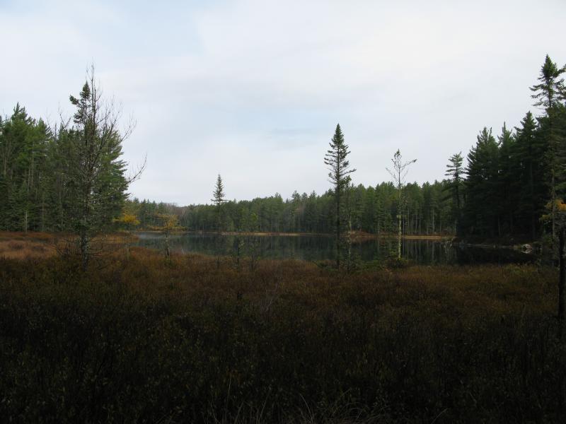
Cold wisps over Clear Lake
Clouds had blocked most of the morning sun so far, keeping the night air pressed tight with the earth. Wisps from a temperature difference danced lazily over a smooth grey surface, keeping the distant shoreline hazy and ill-defined. I followed a ghost of a trail along the lake, slowly moving further west, until I bumped into an unexpected campsite with a depressing scene nearby.

Campsite and burn on Clear Lake
A small fire pit and clearing sat on the shoreline and a large burn spot stretched west. A careless camper had probably burned down at least fifty old pines here many years ago. Saddened by this I quickly pushed beyond the lake, leaving it behind, diving back into the thick woods and a nearby swamp.
There is no actual water flowing between Clear Lake and Island Lake (to the north). The former connects with Upper Baraga Lake, pouring its waters south along Baraga Creek towards Peshekee River. Island Lake flows east to Bulldog Lake, eventually becoming the mighty Yellow Dog River. Between these lakes is a low swamp, though, water leaching back and forth without visible flow, just one of the many examples in the Peshekee of headwaters intermingling.
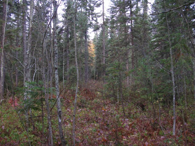
Tight trail through the swamp
I stepped quickly over the shifting ground, trying not to let the water seep into my already-wet boots. It didn't work. By the time I reached the far end of the swamp my feet were chilled from a fresh dose of water. Trying to shrugging it off I continued west, ignoring the nearby Island Lake, aiming instead for Lake Dortay to the northwest. There was an obstacle in the way, though, a dense and deep swamp that was much more formidable than the lowlands in between Clear and Island Lake.
Bare outcropping near Island Lake
Actual sunlight over the swamp
Hugging the side of the swamp I continued west, gaining more and more distance from my campsite, as the sun began to show its face through the bare trees. Once-frosty logs and leaves began to thaw, slickening up the ground and dripping down from the branches above. At one point a downed tree blocked my path and I tried to lightly step on the trunk to skip over. The wet, mossy bark gave and my feet dropped between the branches, landing hard on a sharp rock. I jumped forward, trying to gauge the damage. My left felt bruised at best, a sharp rock having merely jabbed at the side. There was no sprains, no breaks - I missed that by a few inches. Carefully I continued along the swamp, much more aware of the treacherous ground than before.
Eventually I came to a narrowing of the swamp and crossed, then found a hill that I climbed, then discovered a narrow canyon that I traveled through. Lake Dortay was only a few hundred yards (as the bird flies) from Clear Lake, but you can't depend on that being an easy distance, not in the McCormick Tract. It was a varied and brushy path I took to the lake and when I finally burst out it felt like miles since I had stood in the open air.
The swampy shoreline of Lake Dortay
An unexpected swamp lay in my route. There was no hint of this on my topo maps, no streams flowing in or out of the lake, yet here one lay. I crept out over the crackling brush and dead grass, careful of each footfall, not wanting to plunge into knee-deep mud by a misplaced step. The crossing was easier than I expected, a few tricky spots and two leaps over feet of open water, and soon I stood upon a solid rocky shore. The view was awesome.
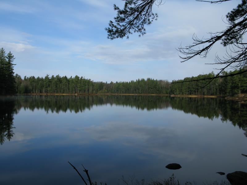
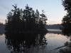
Calm waters on Lake Dortay
Bright blue sky was cleanly reflected on the smooth surface of Lake Dortay. Distant pines and a few rocky outcroppings were doubled across the crystal waters. This lake is one of the more remote ones in these woods, far from both the south and north entrance, and as far as I could tell it was one of the prettier ones. The barest hint of a trail followed the shoreline, winking in and out through the woods. It was easy to pretend that I was the first person to stand here for years, if not decades.
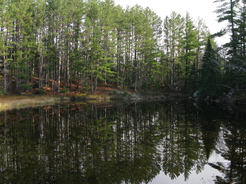
Luring northern shoreline
Slowly making my way north I found the outlet, a small stream that poured over to Island Lake. The opposite shoreline lured me over with tall pines and flat rocks and I quickly skipped over to it. Plopping down on the flat rock I pulled out my map, trying to decide where to head to next. Sure, my legs were tired, sore from last night's haul and this morning's rugged hike, but I still pored over the map with excited eyes. There was so much to see here, and I was already deep in the McCormick. My gaze fell upon a small mark labeled 'The Acropolis' and I knew I couldn't avoid a spot like that.
-
Jacob Emerick
Nov 11, '13
Yeah, I usually don't mention exact times on this blog, do I? This trip was from mid-October, just a few weeks ago, so not long ago at all. And yes, it was a bit cold :P None of the snow stuck while I was up there (though I think the storm that was coming in on my way out had some that stayed through the night).I'm in the same boat as you - May and August - though I usually wait for the forecasts to come out. Sometimes there be snow during those months, other times the bugs are already out in full force. It's not easy, especially if you're planning to be camping the entire time (no hotel room to retreat to).Anyways, yes, you missed out on a cold October. Take care too, Andy!
Add to this discussion