The Park of Mazatzals: North of Hopi Spring
Rock Creek Trail was likable enough beyond the rock pools. It climbed a short distance under the shade of low pines, swung around on a little ridge, and then swung back to cross Rock Creek above the pools over dry boulders. And then it started to climb up a ridiculous slope of gravel and manzanita that looked like a rougher version of how the trail started so many miles ago. Seriously? I stood on the banks of the creek and looked away from the trail, up the headwaters of the creek, and enjoyed the more palatable view of pines on the northern bluffs. If only the trail cut back over to that side - that side looked much more inviting.
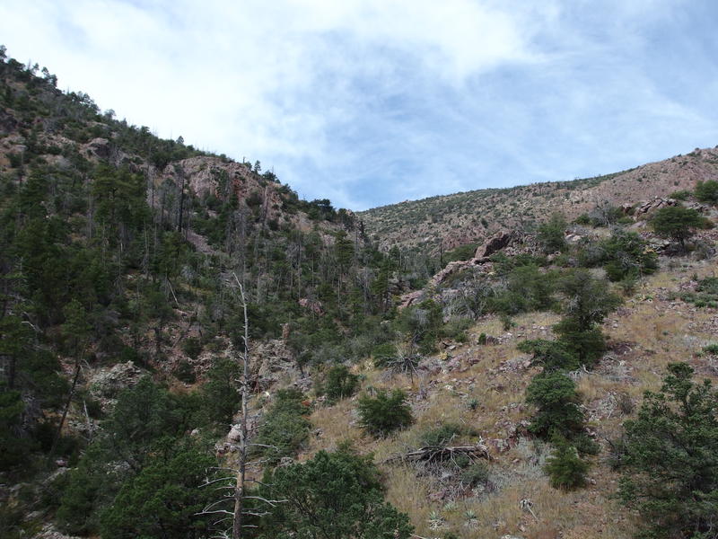
Ascending right into pines and grass
The last thousand feet wasn't going to climb itself, I guess. I pushed off with my poles and started on the steep uphill climb. Instead of hard-packed dirt this was loose and crumbly rock, yet the brush was still hacked back to a welcome level. My feet slipped a few times and my legs tightened with little cramps, but at least my shins weren't getting cut up. I huffed up to a fantastic view of the trail below, took some photos and caught my breath, and then turned away and continued sweating my way uphill.
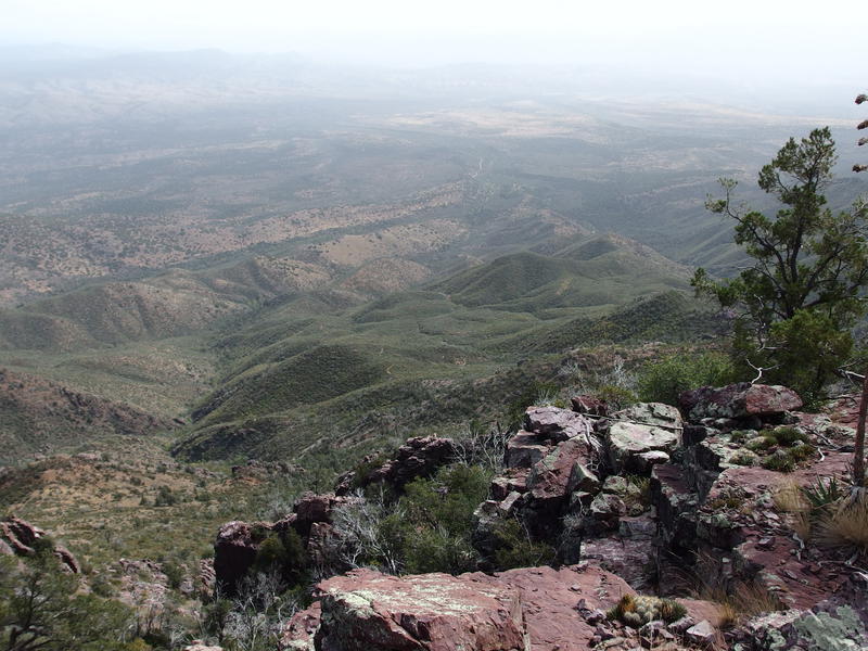
Last look down over the climbing trail
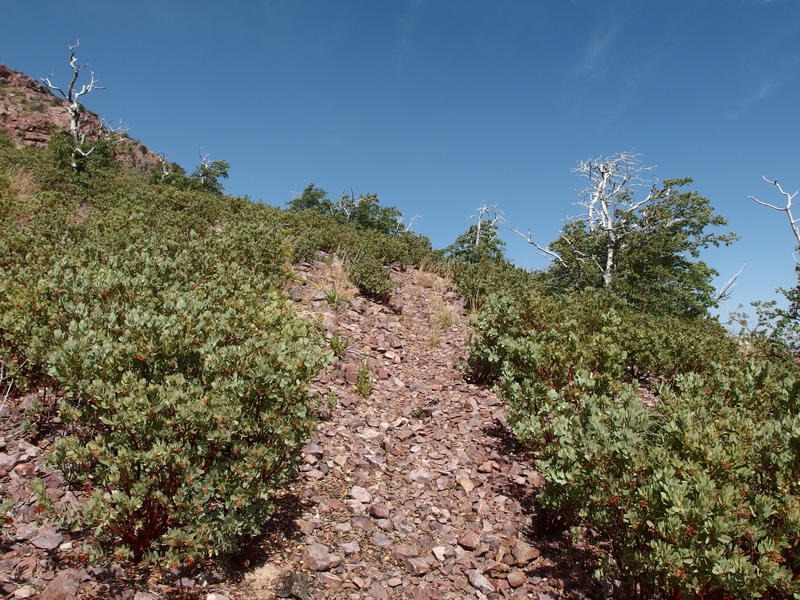
Loose rock trail through manzanitas
Any sort of cool temperatures I had enjoyed down on Half Moon was a distant memory. The wind no longer blew and the sun stared upon this slope with a direct, unwavering gaze. My cheap little thermometer had read eighty back at the rock pools during the last break, eighty degrees at ten in the morning when the forecast high had been seventy-five. Maybe it was microclimates, or maybe the forecast was lying, or maybe the tiny thermometer lied. It sure felt like it was above eighty.
This trail continued to climb sharply up the manzanita-covered hill, curving just enough to the west to give me hope that we were approaching the saddle and keeping me from any more good views of the east. That saddle had to be up here somewhere. All morning I had been looking for it, knowing that it was somewhere above 7000' up and nestled between two mountains hundreds of feet higher, and it had eluded me. Was this the highest saddle on an approach trail to the divide? Barnhardt barely hits 6000', and Y-Bar ain't much above it. Figures I chose the hardest way to get up the mountains (from the east, anyways).
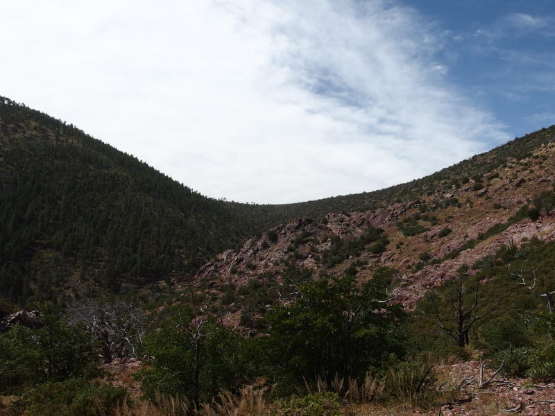
Finally, the last saddle comes in view
Finally the saddle showed up, distant and wonderful, and I could easily imagine just how I had to get over there. This trail must curve sharp west and follow the side of the mountain, slowly gaining a few more hundred feet along the way, before cresting over. It was far yet not that far, only a short distance above me, and my worn out legs cried in relief. Sure enough, the trail turned away from the manzanitas and I began the final approach.
Nothing could be that easy in the Mazatzals, though. The trail, which had been so well maintained and easy to follow, began to fade into the grassy slopes. A few rock slides and deadfalls plugged up sections and forced annoying detours. Agaves and prickly pear grew right next to, or even in the center of, the trail and made vague threats in my general direction. There were even a few decent drops around huge rock formations that cost me precious elevation that I had sweat so much to earn. I stopped frequently on this section, mostly to avoid a complete cramp in my quad or calf, and other times just to gaze wistfully at the shaded opposite slope.
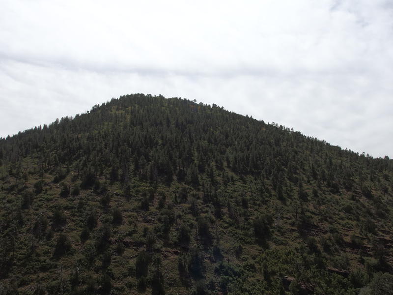
Lovely pine forest across the creek
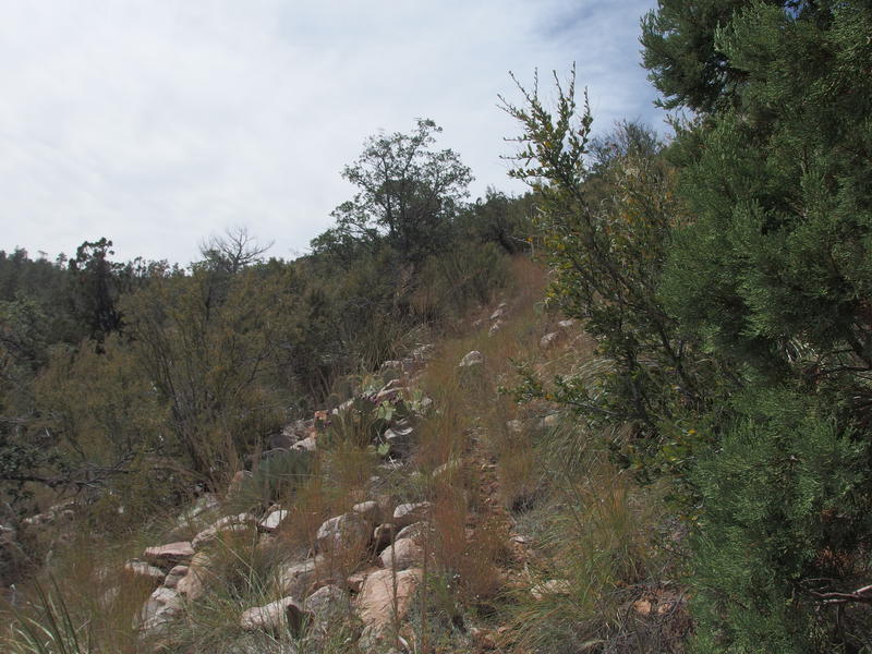
A grassy, rocky trail up to the saddle
The last climb came hard and fast, two hundred feet over a few hundred yards, and then I was there. A bare rock saddle, with a small fire ring and rocky clearing, and the entire western side of the Mazatzals showed up. I swayed tiredly up here and drank in the view. Some of the distant hills were familiar, the same things I saw last spring from Horse Camp Seep and slightly different, but I focused on the closer features. To the north was a ridge currently level with my elevation - my next climb.
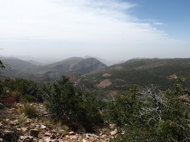
Long view west down North Deadman
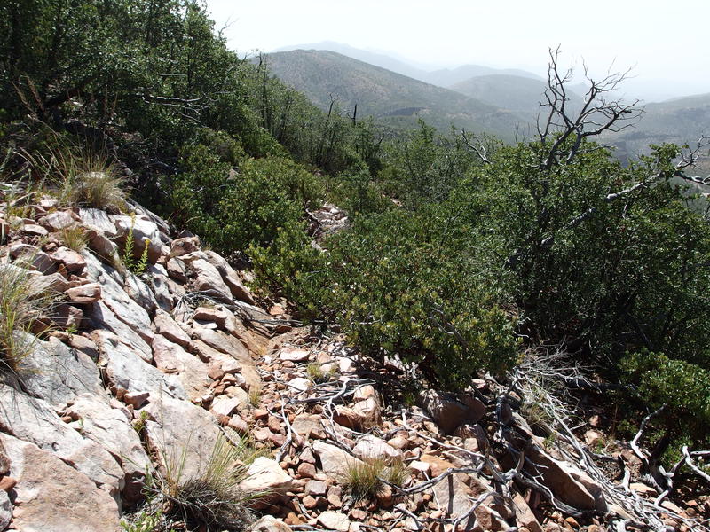
The tricky descent down to Hopi Springs
Now it was time for downhill. Going straight over to that ridge through this undergrowth would have been mad. I had to continue following Rock Creek downhill to the Mazatzal Divide Trail, losing over 600' in the process, and then I could start north. This downhill section was gnarly. Most of it had been completely reclaimed by manzanita. For a short time it was defined, rocky switchbacks and a few cairns, and then it disappeared. With a deep sigh I waded into the spiky plants and grimaced as they tore into my shins.
I've tried this trail the opposite way, coming up from the Mazatzal Divide, and knew it was tough. Not sure why the trail maintainers who worked so hard on the uphill section to the east didn't worry about this side. Did they not want to tempt hikers on the relative highway of the Divide trail to head downhill? Was there a safety reason behind it? I'd love to do repair on it, bring Chris and Kirsty up here for a weekend of brush clipping and cairn building and campfires at the nearby Horse Camp Seep, though I suppose I should learn why its ignored first.
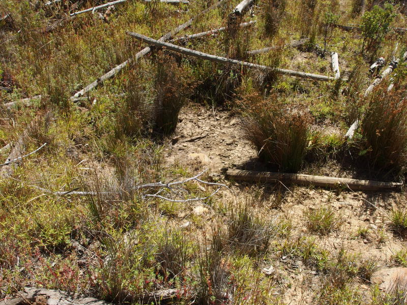
Bone-dry Hopi Spring
It took over a half hour to reach a dry Hopi Spring, a half hour to cover a half mile of downhill. Bloody nasty business it is, bushwhacking through the Mazatzals. And then to end it with a dry water supply. My plan was to be here an hour ago, to stop at the spring and eat lunch and refill my water, and here I was behind schedule and low on water and with cramping legs. I took one last look back at the saddle and weighed my options.
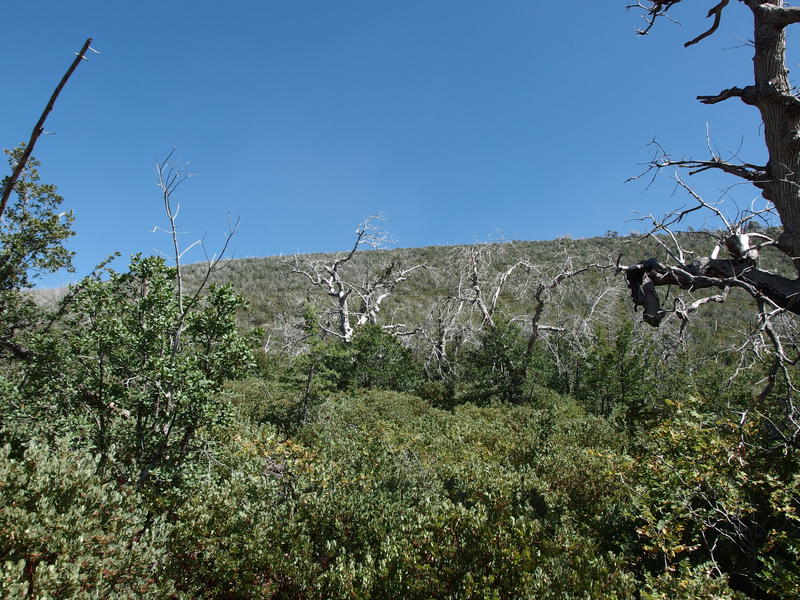
Looking back up towards the saddle
See, this was the optimistic halfway point for the day. Nine miles behind me and most of the elevation gone. From here I wanted to go north and west, curving around to Fuller Seep, and then follow up tomorrow with a day on poorly-defined western trails. I sat frumpily on a dead log, swung my pack off, and felt drained. That climb in this heat took a lot out of me, and with Hopi Spring dry I had no reason to believe Fuller would have water.
I pulled out some sausage and Triscuits and thought briefly about retreating to Horse Camp Seep. It was a mere mile from here, all downhill, and makes for a lovely campsite. The Park felt so far away by comparison. There might be water, and I had hours and hours of daylight left to spend. And going to The Park didn't commit me to giving up on my original plan, either. I could hike over there, judge my condition, and then make a final decision on what to do next.
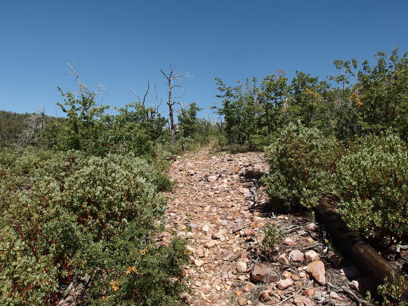
Loose rocks along Mazatzal Divide Trail
Of course, going to The Park meant going another four miles on an empty tank, with a 400' climb under an afternoon sun. Fun and games. I stood slowly, feeling the muscles in my legs complain and tighten, and began to move north awkwardly. Some time over the last hour I had pulled something deep in my right hip and it hurt something fierce. It took a few hundred yards before it wore away and my gait began to normalize.
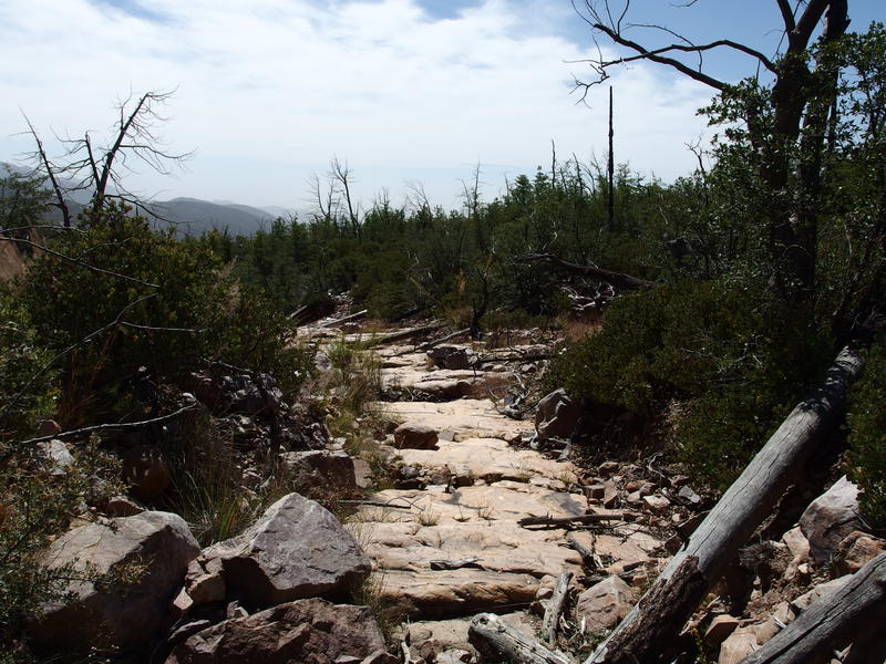
Hot trail along the Deadman Creek crossing
Of course that climb couldn't come all at once. From Hopi Spring it was loose rocks and downfall across the trail for a half mile, giving my muscles plenty of excuses to cramp. And then it dropped a bit over flat, hard rock as it crossed over the northernmost stretch of North Fork Deadman Creek. On the far side was the final chunk of climb. This section had looked so appealing from the distance, shaded pine trees along a gentle hillside, but up close it had a distinctly different feeling. Fully exposed to the afternoon sun with only a sporadic bit of shade from half-charred trees, the overgrown trail climbs over loose rock before crossing a huge slab of exposed rock. Sweat poured off of me in sheets as I lumbered up the unforgiving slope.
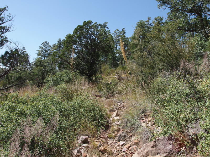
Overgrown climb through sporadic trees
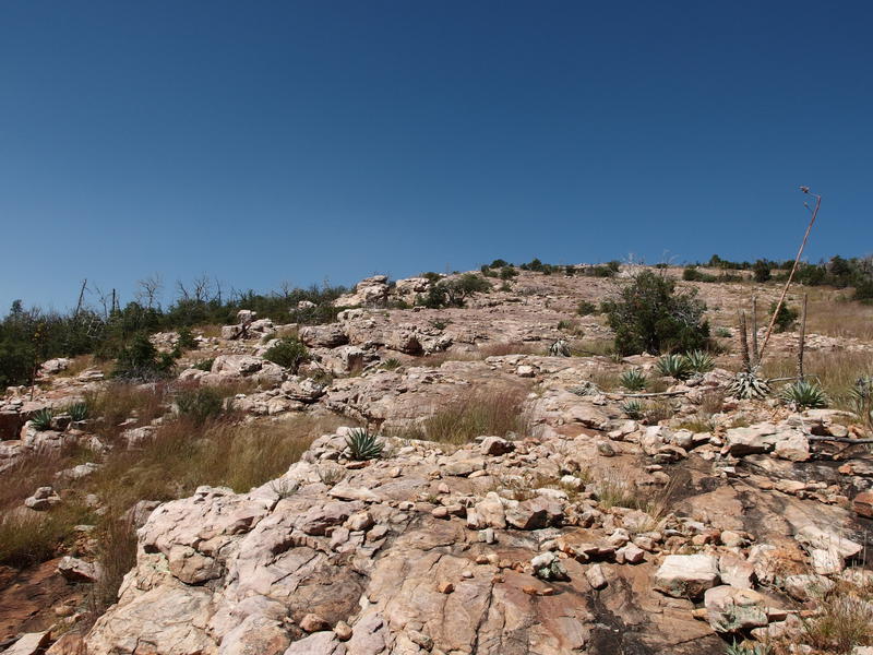
Bare rock on the high ridge
Once I finally crested the top of the climb, a respectable 6800' up, I took the chance to drink in the views. This was my first time looking at the northern Mazatzals. They looked a bit humble. Everything seemed lower than where I stood when I had expected a few more peaks to rise up. North Peak was hiding behind the ridge to my right, I guess, and Knob Mountain isn't that tall. There were a few descent gorges carved far down below in Maverick Basin and Wet Bottom Creek, and I couldn't even make out the Red Hills area in the distance, so maybe I wasn't seeing a fair representation. I took a last look back towards Mazatzal Peak in the south before committing to the long downhill trek.
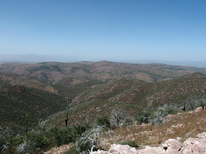
A huge view to the northern Mazatzals
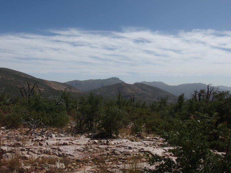
Looking back towards Mazatzal Peak
From this ridge it was all downhill to The Park. A thousand feet down, to be exact. The drop cuts along the tall ridge I was standing on, aiming north-ish and going over a few saddles along the way. I expected a few little climbs along the way and maybe some shade, but overall an easier way forward. The hard part of the day was over. Even if I pushed on this afternoon beyond the camp coming up it was nothing compared to what I had done this morning.
As soon as I dipped down below the ridge the trail made a drastic change. I should have expected it, with the north-facing flank protected from the hot summer sun, yet the amount of overgrowth was a surprise. Using my poles to push away some of the worst of it and wading sideway for the rest I pushed on, still enjoying the less-exposed trail and downhill tread. A few manzanitas tore at my shins and some agaves forced evasive steps and I still made big loping strides downhill.
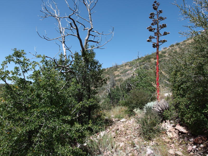
A bright agave along the descending trail
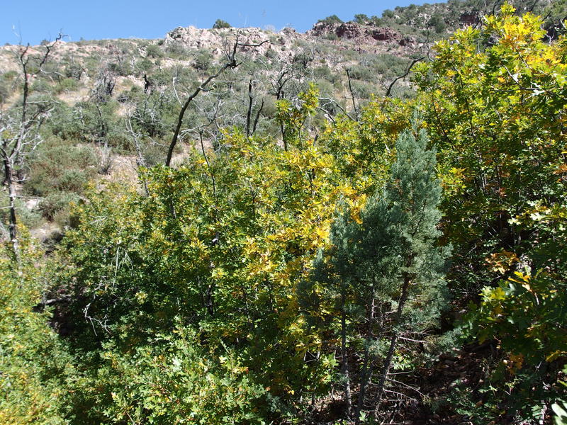
Burst of fall along the trail
The only part that got annoying was near the bottom, when the path turned sharply away from the ridge and headed down a steep hillside reminiscent of chunks on Rock Creek Trail. It was steep enough for me to have to brace backwards in order to stop from slipping forward, plus it was warmer and more exposed. The tall pines of The Park took their sweet time getting closer on this section, no matter how many times I looked down.
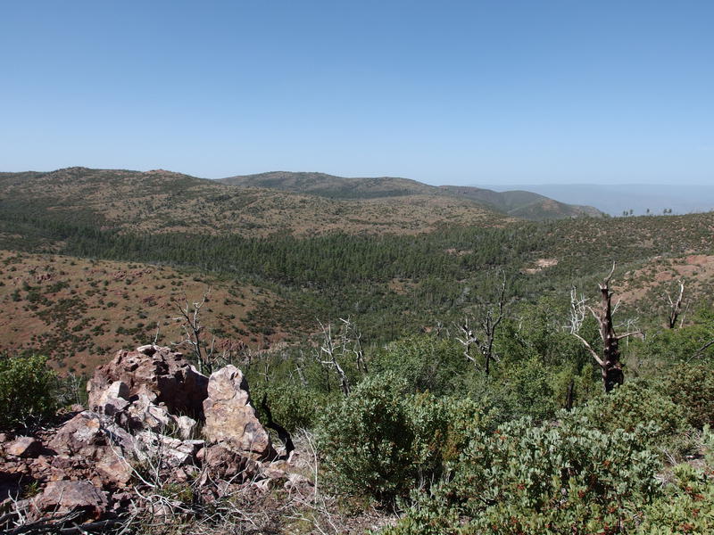
Cluster of pines marking The Park
Once I finally crossed over Wet Bottom Creek I stopped for a detour. There should be water here, Pete's Pond, somewhere downstream of this crossing. I didn't have a waypoint loaded and was trusting my vague memory to find it. Shifty rocks on the creek bed shifted under my feet as I jumped and hopped and looked, shaking off any leg cramps that the unsteady ground triggered.
Several hundred yards down there were two murky pools that seemed okay. Pete's Pond seemed much larger in the photos (it is). Water is water so I swung off my pack, drank the half liter that I had left over from the pools on Rock Creek, and started filtering. If the tadpoles and beetles weren't enough a hint about the skunky taste the smell was. I had to wash it down with sweet snacks and electrolyte flavoring.
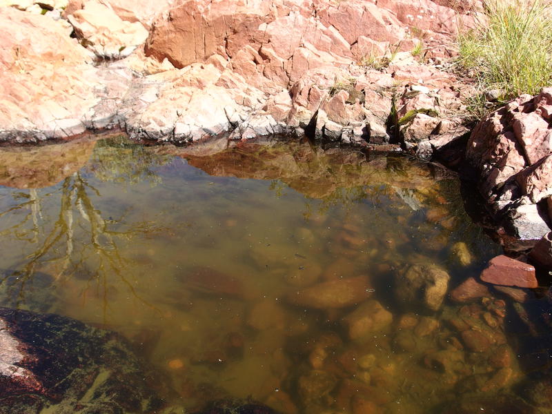
Stagnant pool of water along Wet Bottom drainage
A natural bench of rock sat next to the lower pool and I totally took advantage of it. Lounging backwards with two liters of water and some snacks I angled myself into a spot of shade and just stopped. This, this break was definitely needed. My legs hurt, my hip was on fire (and cramping), and I was feeling dreadfully overheated. Twelve miles and 4600' of elevation gain had kicked my butt.
Eventually I began to stir. I had several hours left before the sunset and would rather spend them eating dinner and going over my gear than huddled here in a bit of slowly-dwindling shade. Retracing my steps up the loose rock, hobbling awkwardly when my hip gave out, I made it back to the path and continued north a short distance until I entered the grassy plains and tall trees of The Park.
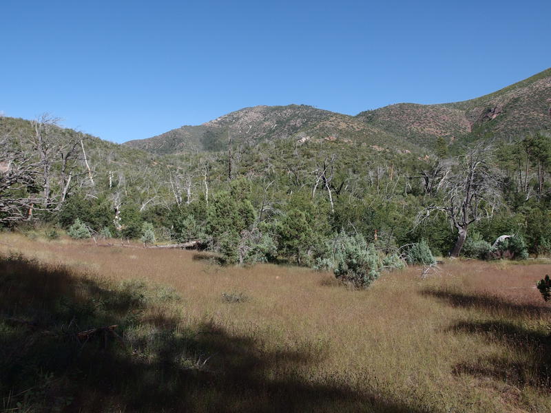
Small grassy clearing
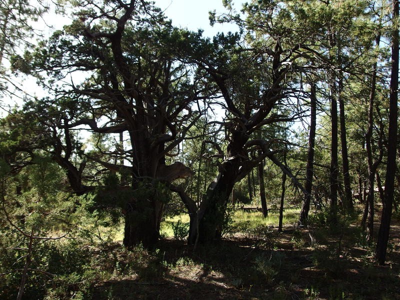
Gnarly collection of trees
If I was going to spend the night here I'd have to make a warm shelter. The forecast lows were right around fifty, though I expected it to get much cooler this high up. My planned campsite would have been another 500' down and much more protected than this exposed flat. The winds from the west would cut right through these pines. After monkeying around I managed to get a decent setup with my tarp that would block me from much of the wind, though I ended up dropping the head end down after night fell and the winds switched.
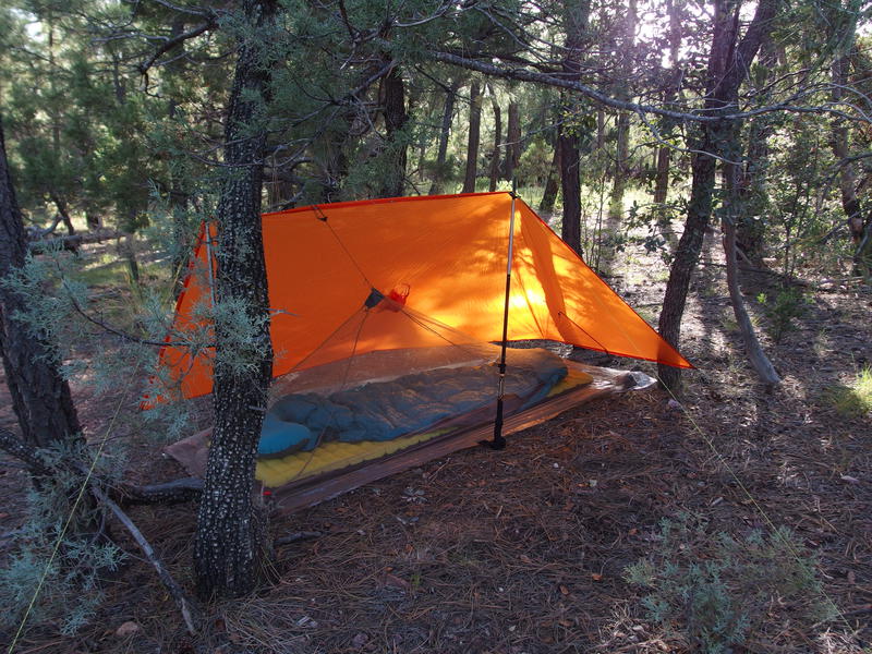
Protective shelter setup for wind protection
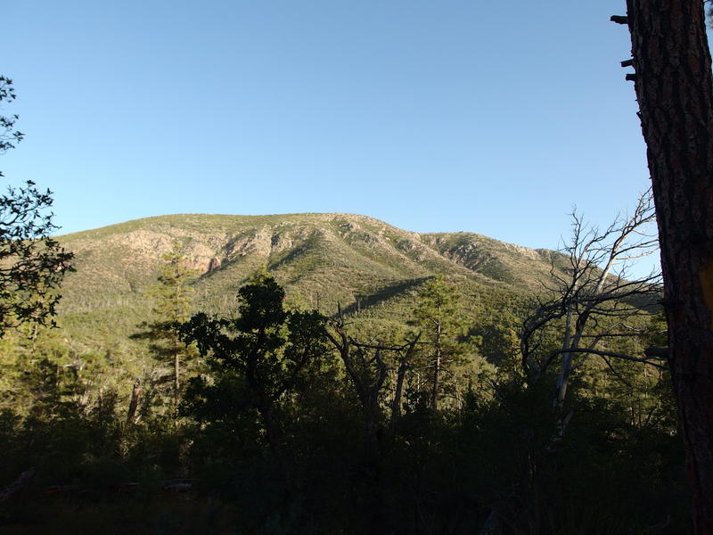
Afternoon sun on the rocky ridge
I spent a healthy amount of time dinking around the campsite. I pulled off my sweat-soaked gear to dry out, sorted out my food for easier access, and went back to those ponds of water to pull up to full capacity. My appetite was ruined so I ended up just munching on the leftover sausage and crackers from lunch for dinner, sipping as much skunky water as I could between bites. There was even time to read a few chapters before the sunset lit up North Peak in dull red hues.
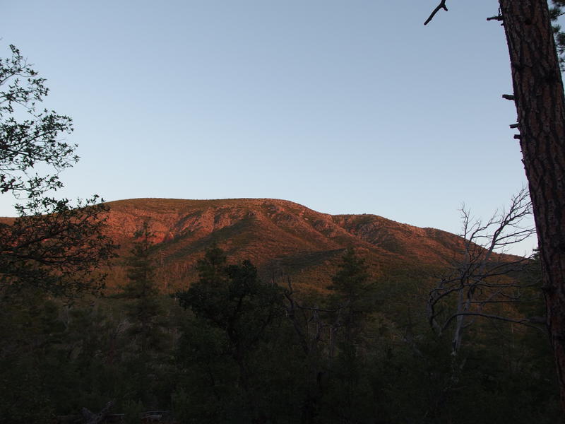
Sunset lighting up the ridge
Finally, time for bed. I checked the temperature at 6:30 and was shocked to see it was already fifty out. Dang, that was supposed to be the lowest point early in the morning, not right now. I threw on a few extra layers, curled up in my quilt (that had a low rating of fifty degrees, by the way), and opened up my book and continued reading the thirteenth book of a fantasy series that I had first started a year ago on Isle Royale.


Comments (0)