South Mazatzal Roundup: Cornucopia - Thicket Spring Loop
Tall pines clumped around McFarland Canyon, survivors spared from the worst of the wildfires by the surrounding hillsides and sheer luck. There were enough to even shade sections of Thistle Spring Trail as it played along the banks, cutting between tall bushes and curving along side drainages. I trotted along the easy path with a comfortable pace. This trail was part of the AZT and was well-maintained, giving my legs free reign to eat up the distance quickly even with ten miles behind them.
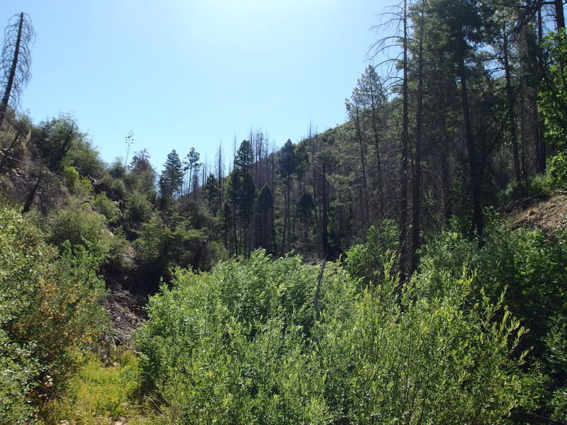
Tall pines along Thicket Spring Trail
Pleasant sections of shade never last long in the Mazatzal Wilderness. Five hundred yards after starting out on this trail from the Sheep Creek Trail junction and the path made a sharp left turn out of McFarland and climbed a hot hillside. I slogged up, crested the saddle, and was greeted by a short drop and another, longer climb further on. These ascents just kept coming.
The climb marked an interesting choice for the trail. Instead of blazing a path through the thick brush it simply dropped into the wash nestled between two hills and used the natural route. It made for a rocky, yet clear, uphill tread. I wondered if the trail always did this or if it used to dance along the hillside until the Sunflower Fire knocked out the old tread. I reached the West Fork Trail junction a bit winded from the climb and with no fresh scratches from brush. The sign for the AZT pointed down West Fork so I followed, making a painfully sharp climb followed by a slow, switchbacked descent towards Cornucopia.
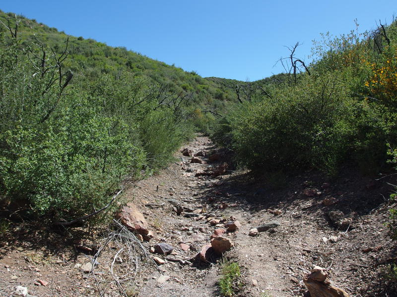
Walking in a wash
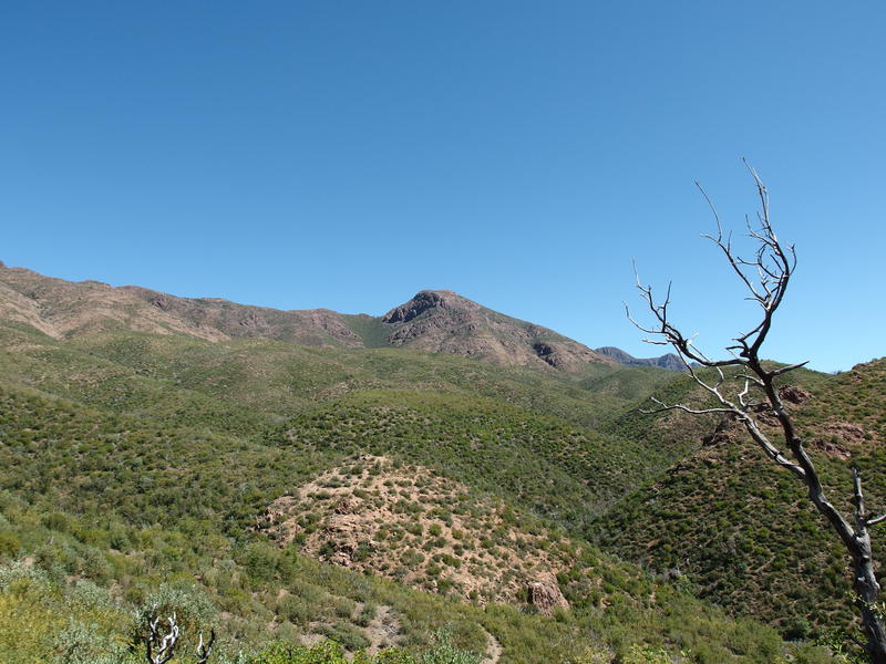
Looking over at Mount Peeley from West Fork Trail
Finally, I was on the classic Cornucopia - Thicket Spring Loop. Three trails form a rough triangular lasso, with the long end connecting to the Peeley Trailhead, and offer a wide variety of scenery for a dayhike. A dayhike that is only seven miles long, anyways. Once I reached Cornucopia Trail I got a sweet hint of that variety as the well-shaded path danced along a trickling creek, an environment that stood out sharply from the previous miles through hot and dry manzanita hills.
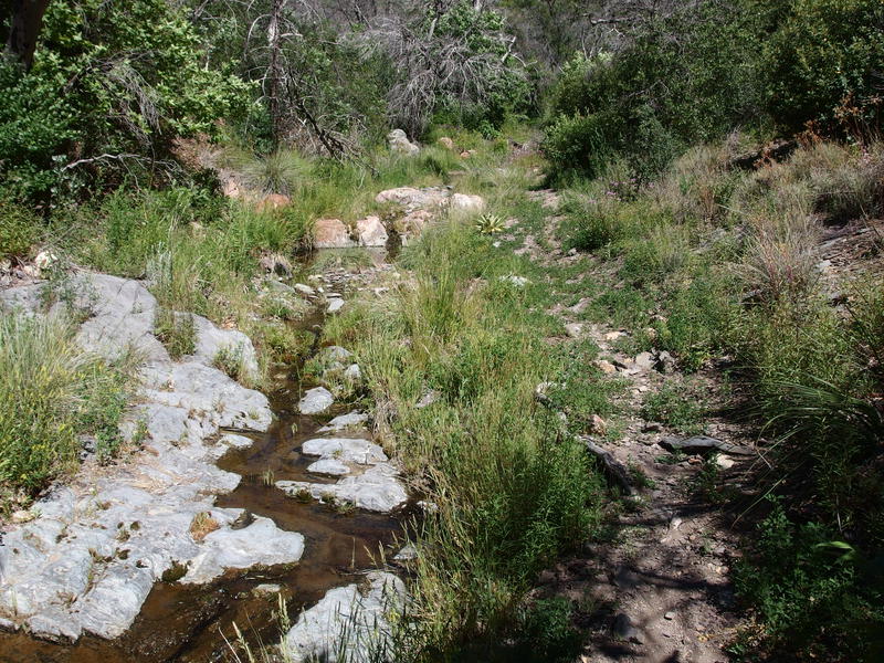
Pleasant sights along Cornucopia Trail
Stopping here for more water was terribly tempting. My throat was dry, even with the recent water break near Squaw Flat, and I was starting to develop a cough. I had been battling a minor cold for about a week now, obviously the best time to do a challenging hike in the wilderness. I pushed on instead, climbing past the last trickling pools and their luring temptation.
The trail climbed up to a saddle, crested, then continued to climb up a separate drainage towards Thicket Spring proper. It was interesting how these trails utilized the canyons and creeks for as long as it made sense, then simply jumped over to a nearby one to keep going in the right direction. This second drainage had a few tall pines above the path and rugged outcroppings to give it a real mountain trail feel. Still, it was with a bit of relief that I finally saw the trail sign marking the junction with Thicket Spring. Two legs of the triangle were done - now for that pesky lasso end.
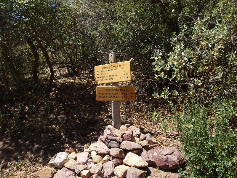
Busy trail junction
That pesky lasso end turned out to be a real trudge. Cornucopia Trail climbs an additional five hundred feet over a dusty, rocky mile surrounded by shadeless brush. The rocks were loose and rolled eagerly under my boots, dust rose from the dry ground, and the sun beat down on the hillside and heated things like a relentless oven. I kept gazing up at Mount Peeley next to me wondering how much longer it would take to reach the Mazatzal Divide Trail and the turnaround point. When I finally reached the end, the highest point of the day at 5800', I wasted little time in celebrating the moment. A few quick photos to prove I was there and I booked it back down the trail, backtracking down the trail and a planned break at the Thicket Spring area.
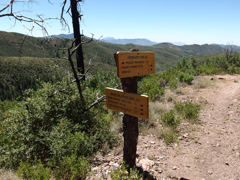
Finally at the northern turnaround
No water waited for me at Thicket Spring, just some old ranching remains and a scattered firepit ring. There wasn't even a good place to sit and rest so I pushed past the trail junction and started up the last leg of the triangle, the last segment of Thicket Spring Trail. I made it a few dozen yards before collapsing next to a cairn and pulling out my water. Over two hours since my last break - I'm really bad at pacing myself out here, especially in this heat.
My thermometer was reading a tick under ninety. Not sure how accurate the little plastic thing is. I leaned against a short bank and sipped water, checking in with Katie in the meantime. Technically I was falling behind schedule, delayed by my slow pace and this heat, and I tried not to care. Some breaks are more important than keeping to an needlessly ambitious schedule.
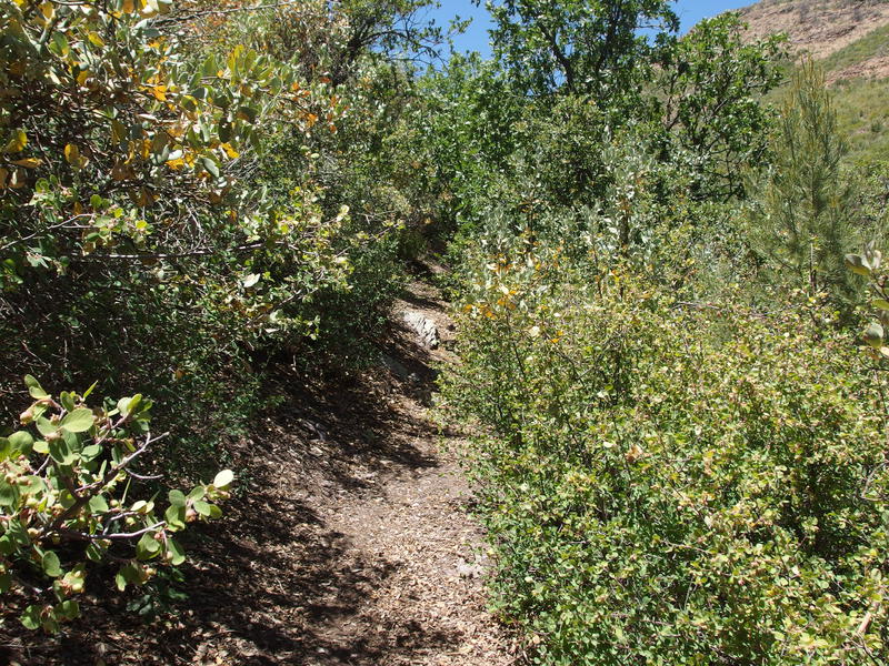
Some overgrown sections along Thicket Spring
With a liter of water and some salty snacks in my stomach I pushed up the trail, which was overgrown compared to most of the paths of the day. A few more scratches to add to my cross-hashed skin, that's all. Route-finding was, for the most part, numbingly simple. Few hundred feet of climb and I emerged from the overgrown trail and topped a ridge and looked across a small creek valley to a second saddle.
That little valley ended up being an annoying hurdle. Dropping into it was simple, though navigating two separate forks and the steep banks was a hot and dirty affair. And then I went and lost the trail on the other side. Instead of tall brush or immature manzanita it was all short stumps and sparse shrubs, few growing taller than a foot above the rocky ground. Tracking a trail through this was tough and when the cairns faded away I drifted off to the side, aiming for the lowest point in the saddle. When the GPS beeped at me I corrected and soon found a cairn and obvious trail. Technology makes it hard to get lost.
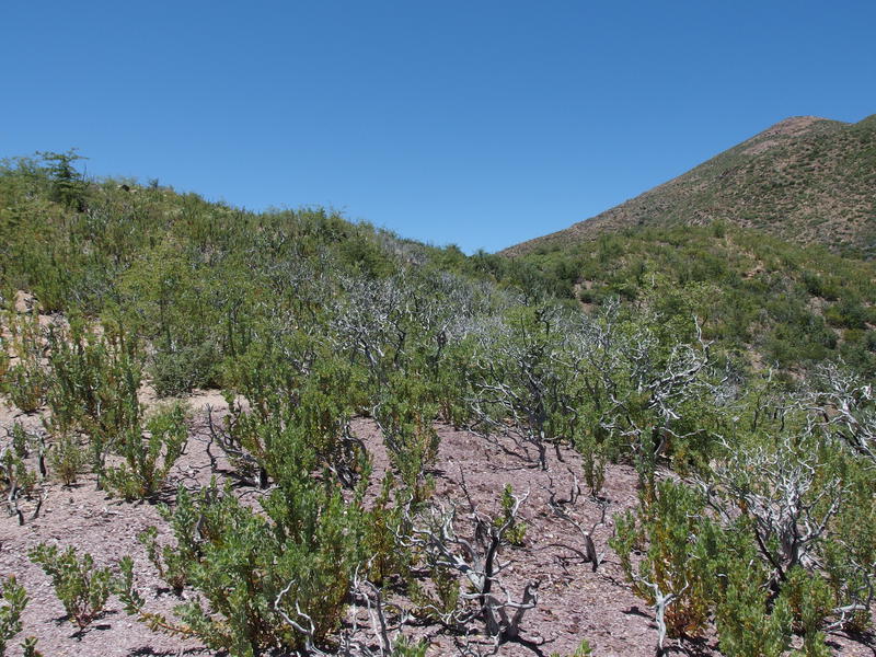
Charred landscape left from Sunflower Fire

Looking down at the two Saddle Mountains

Big southern views of Four Peaks and Superstition Ridgeline
Views from the second saddle were outstanding. Saddle Mountain towered a short distance away, and I tried (and failed) to trace my trail beyond to where I started this morning. Maybe that low hill over there? Or is that Mormon Grove? A few degrees to the south was an even more impressive sight, with Mt Ord, Four Peaks, Boulder Mountain, and Superstition Ridgeline all lined up. I did not expect to get this good of view today, not from a trail.
A caressing breeze and the general downhill trend gave me new hope for the afternoon. Yes, it was past noon, and I had over eight hours and eighteen miles behind me already. With a quick step I followed the well-marked path down, into a drainage and back to the West Fork junction, then all the way down to Cornucopia. It took less than an hour to get settled next to a small water puddle and pull water.

Stealing water from the water dancers
So far I had hiked up from Cross F Trailhead, danced along the flanks of Saddle Mountain, completed a spur to Squaw Flat, and then finished up the Cornucopia - Thicket Spring loop. Warm tuna and crackers never tasted so good. I filtered and drank and filtered some more, enjoying both a full belly of water and the small spot of shade. Now I just had to get back to the van and maybe, just maybe, do another little loop. It was just a question if my legs could handle the extra distance.


Comments (0)