South Mazatzal Roundup: Sunflower
Slushy gatorade was a shockingly refreshing beverage. I made a mental note to freeze more bottles for post-hike treats as I lounged against the van. Twenty-five miles behind me and it was only four in the afternoon as I enjoyed the frosty treat. This whole loop might just be possible. The last six miles had flown by, for the most part, and the last planned section should be the easiest of the day.
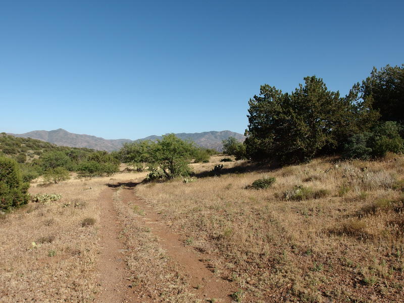
From my rest spot at the junction of Cornucopia and West Fork Trails, next to the water dancer pool, there had been a well-traveled path along the creek bank for a few hundred yards that connected directly with a clear two-track. I think this is FR 25A. Anyways, the track was well-shaded and easy to walk on. When it crossed Sycamore Creek things got interesting, with huge boulders that would make this road difficult for most ORVs, but the stretches along the banks were easy gravel walking.
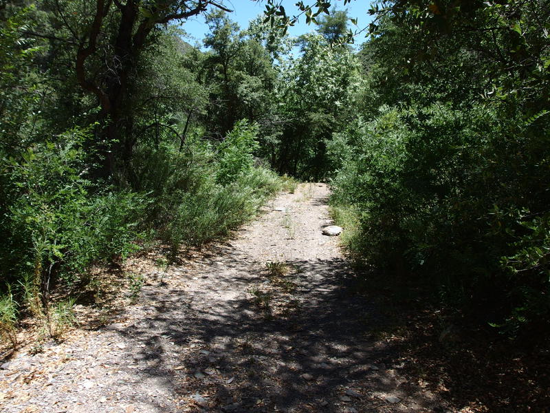
Shade along FR 25A
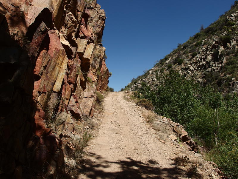
Some solid road construction along the way
At one point I caught the whiff of diesel in the air. There may have been a vehicle along this road today, or perhaps it was something older from one of the many mining ruins along the way. I checked out some foundations and a shaft or two quickly, more focused on pushing southwards than meandering around. Aside from the whiff there was no sign of anyone else on the track. When I climbed out of the narrow canyon there was a nice view to the west, towards the hills near Saddle Mountain, and I also saw a lonely vehicle driving up to Mormon Grove Trailhead. Peaceful hiking.

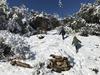
Climbing up from Sycamore Creek
Then things got tough. The track I was following made a sharp east turn towards FR 201. I could follow it, though it would add several hot miles of road hiking to my already lengthy day. Or I could continue to follow Sycamore Creek for a mile and connect with the old Beeline Highway, which is the same road my van was parked on. The track along the creek was posted no trespassing, so I dropped down into the creek and hop-skip-jumped my way south. There were fences down here, and grazing cattle, and even a few old carcasses, but I wasn't down here for long. Soon I climbed out of the creek and completed the loop on paved road, reaching my van and that delicious slushy gatorade.
Moving quickly I changed out my socks, switched out some gear, and watered up. I had four hours of daylight left. A man can cover a lot of ground in four hours. Feeling re-energized I locked up the van and headed back up Little Saddle Mountain Trail, up the same trail I had walked twelve hours ago in the dark. This time I turned left at the junction; it was time to tackle Sunflower Trail.
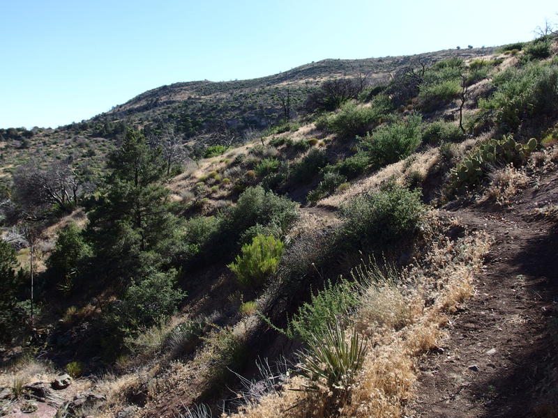
Afternoon sun on Sunflower Trail
Part of the AZT, Sunflower Trail is five miles long and connects Little Saddle Mountain with, well, Sunflower to the south (Sunflower is the name of a small town along AZ-87). It doesn't have a lot of elevation difference and I hoped it would be an easy jaunt to mop up. The start was mean. Well, Little Saddle Mountain Trail had a steep 250' climb, and then Sunflower had a little drop across a creek and 100' climb on the other side. These climbs were taxing on my weary legs.
With the short uphills behind me I settled into a good pace across flat, grassy lands. If the whole path stayed like this I could make some fantastic time. Connecting cairn to cairn I made my way south, crossing under some powerlines and winding between short trees, even watching two ducks play coy in a dirty water tank just off trail. When the two-track showed up I assumed it would be for a quick section and kept an eye out for a cairn to lead me back through the plains. That cairn didn't show up for two miles.
Looking north to the goal posts around Little Saddle Mountain Trail
Galloping along a dusty two-track
Walking on the dirt road wasn't terrible. I had just walked six miles or so on some sort of road, so I can't complain about one that was part of the AZT, especially as the views of Boulder Mountain and Four Peaks Wilderness was sprawled out beyond the grassy plains. Maybe I just hoped for trail. There were rocky sections that rolled underfoot and some sandy sections that gave underfoot, and no route-finding to worry about. I did stop for a break after an hour, a brief rest under a small tree to drink some water, and then pushed right back on the old track.
An obvious cairn and footpath led off the track once the houses of Sunflower got close and I followed it south, skirting along the outskirts of the tiny town, climbing a few small hills on the way. Once past the town the trail started twisted to the west, which was not a direction I wanted to go. I wanted to cross under the highway, bend east, and start returning to my van. Eventually the trail wised up and returned to the highway, crossing under a long cement underpass. Almost there.
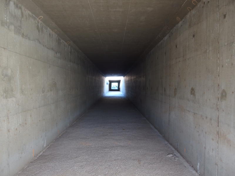
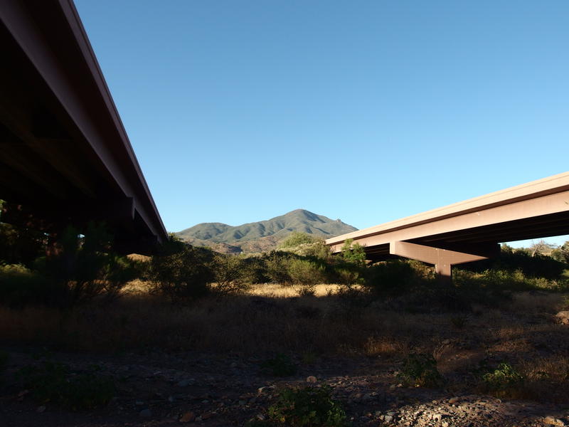
One way to cross a highway
Another crossing of Sycamore Creek
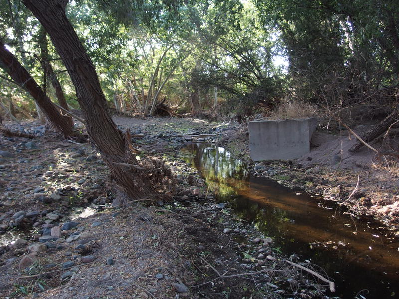
The turn-off to Bushnell Tanks didn't show up right away. Beyond the highway there were more houses to skirt around and hot trail to walk. A half mile and I saw the junction and lept at it, exiting the AZT and crossing the skunky remains of Sycamore Creek. After walking through the grazing cattle and passing those rotting corpses there was no way I was going to stop and filter anything out here. I had enough water anyways. I picked a shaded spot far from the dirty water and rested briefly, munching a snack and ignoring the sounds of rushing traffic above.
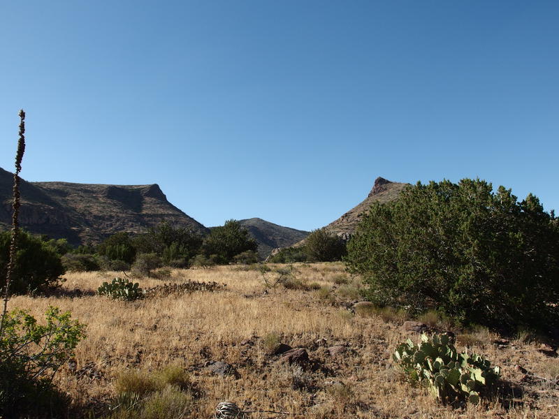
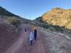
After the break I pushed on, not entirely sure where Sunflower Trail ended. Cairns led me up Kitty Joe Canyon and then over to a well-maintained, and blocked off, access road. The road brought me to Bushnell Tanks. This small trailhead makes easy access to the AZT, especially for hikers who were only doing the Four Peaks or Mazatzal sections. A father and his daughter were waiting at the trailhead, talking and stretching from what I assumed was the long drive from Payson to Phoenix. We chatted briefly, and when they asked where I hiked from I pointed out the most distant peak to the north. That was Mount Peeley. It was hard to believe I was on the shoulder of that hazy thing at noon.
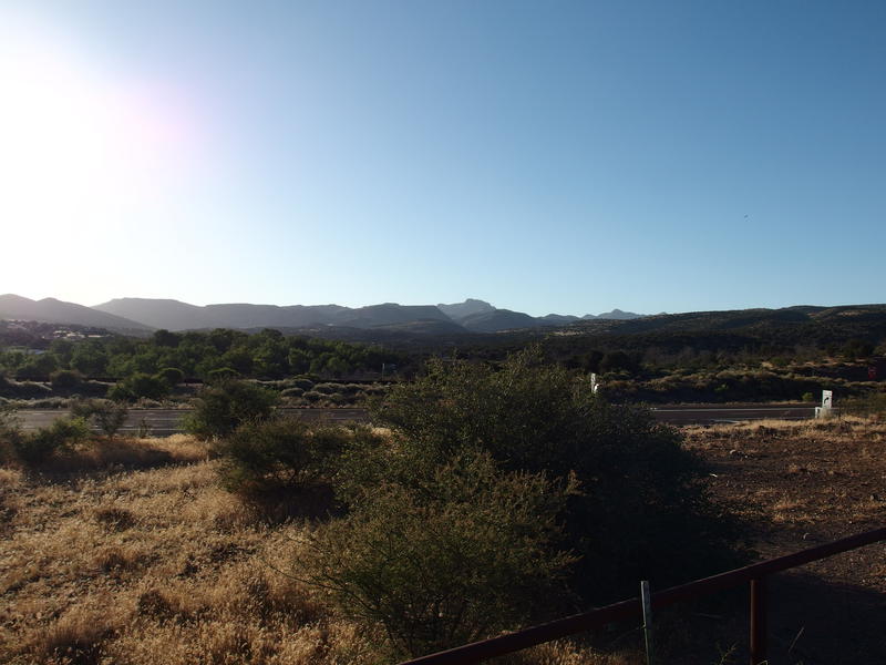
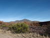
A hot, long look back at the mountains
Parting ways with the small family I picked a direct route back down to the creek, which ended up being rockier and steeper than I could have hoped for. Crossing under the tall bridges was easy and I found a small herd of deer on the other side. And foxtails. I found lots of foxtails. Once I had cleaned out the large, painful clusters from my socks I settled onto the last leg of the hike. All I had to do was follow the old Beeline Highway back to the van and complete the loop.
Mt Ord from between the highway bridges
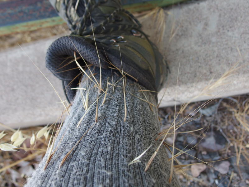
Darn foxtails - hurt as bad as cactus needles
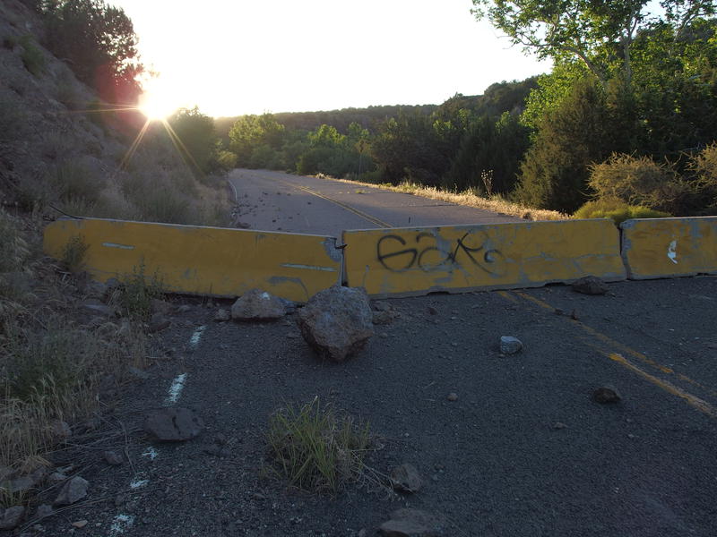
The first mile was painless. Sun was dropping low and the houses along the road were scenic. Shoot, there were even a few operating ranches on the way. Then the gate showed up. This road was officially closed and had a tall fence thoroughly blocking the way, complete with threatening signs. I didn't have time for this. I squeezed through a gap on the side and continued on, keeping an ear out for any alarms or angry landowners.
No one stopped me on the old, blockaded road. The only impediments were more blockades, now smaller and unsigned, and the few piles of boulders that had fallen onto the unmaintained road. I'm not sure why they closed off this section of road. Maybe they wanted to limit traffic on a useless road now that AZ-87 provides a more direct route. Now there were small plants growing in cracks, tree branches hanging low, and even some watermelon shoots stretching over the asphalt.
Old, abandoned road
There was one interesting thing near the end of the restricted section. A small camp of sorts, complete with multiple cabins, designated restrooms, and large clearings for gathering. It looked official, like some sort of forest service training or other governmental thing. I kept to the road.
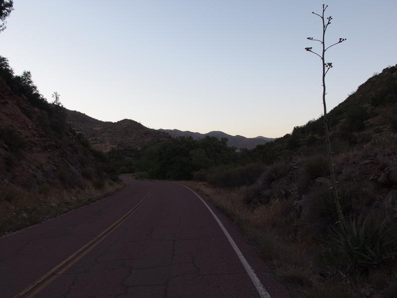
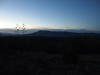
Last remnants of daylight at the end of a long day
The sun had barely set when I returned to the van. Thirty-five miles covered in sixteen and a half hours. That, that was a full day. And a quiet one, overall - not a single person was spotted on the trail. I was surprised by that, thinking that these accessible southern paths would see more hikers. Well, more solitude for me to enjoy, I guess. Cracking open a caffeinated can of sugar I settled in for the drive home, wondering if I was going to beat this distance on a dayhike anytime soon.
-
Jacob P Emerick
Jul 17, '17
Hi s, sadly, I don't have any suggestions. Unless you have a trusted friend/family member who can do that, Best Buy is probably the best bet. The delay is rather annoying (2-3 weeks is nuts).
-
s
Jul 18, '17
Read the Ripoff reports on geek squad. It looks like HP uses Soluto for tech help. Can you check that out? Daughters are physical therapist and occupational therapist. Son in law is internal medicine. Only friends that were geeks are too old to do anything.Do you think Soluto will conflict with webroot,which is still working?
-
Jacob P Emerick
Jul 18, '17
I don't think you should go with Soluto - it looks like they stopped their PC support recently. Plus it sounds like Soluto had some issues with memory issue that would slow things down more than they helped.
-
s
Jul 19, '17
Thanks so much for the warning. I will try to find someone local. I am not taking the HP Envy in to Geeks for their free repair. First think they told us was that although we had subscription, we had to pay $110 to download aol.How exciting is your new life with 3 children?
-
Jacob P Emerick
Jul 26, '17
Life is a whirlwind with three children :) Oldest starts daily school in a few weeks, which is going to add a whole new degree of chaos and excitement. Only four and he's already in a soccer league! Did you find someone local?
Add to this discussion