Robber's Roost Loop
Trying to get motivated to go for a hike in the hot Arizona desert was tough after Isle Royale. Nine days of midwest weather on Lake Superior had spoiled me, and I still had sore knees and feet to heal. Chris finally convinced me to head out on a relatively easy loop, one that we had been eyeing up for months, and within a week of returning from Isle Royale we were driving to Peralta Trailhead to visit the infamous Robber's Roost.
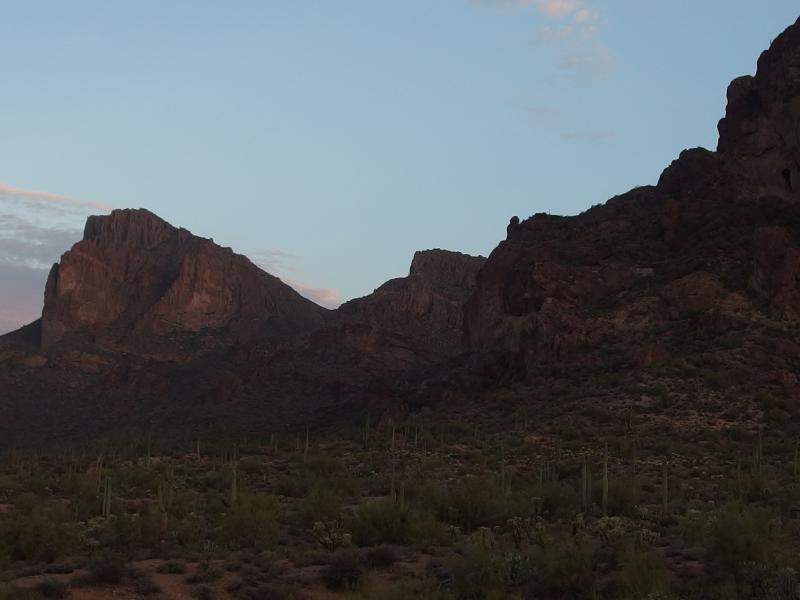
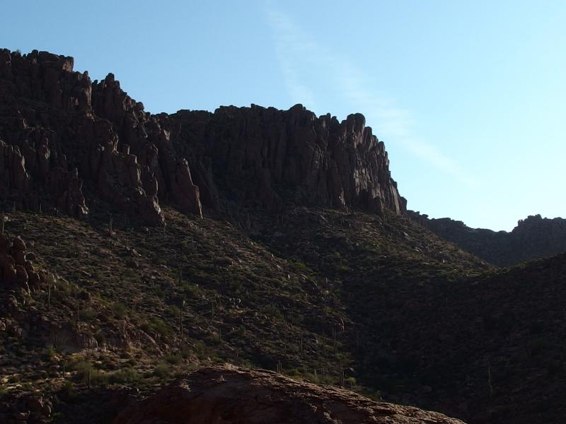
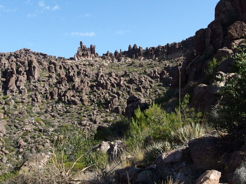
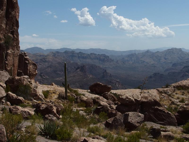
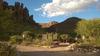
Dim morning sky over Three Sisters
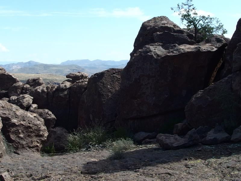
Robber's Roost is a little spot located high above Dacite Cliffs. I wasn't entirely sure what it was when we started, guessing that either a cave or little hollow waited for us up there, but I had GPS coordinates and a rough idea of how to get there. Anyways, Dacite Cliffs make an impressive 800' yellow-white precipice stretching from the Peralta Trailhead to Carney Springs on the southwest side of the Supersition Wilderness. To reach the Roost we would make a large loop, hiking up Carney, over to top of the cliffs, then down from Fremont Saddle to Peralta. Eight miles with an expected high temperature in the triple digits.
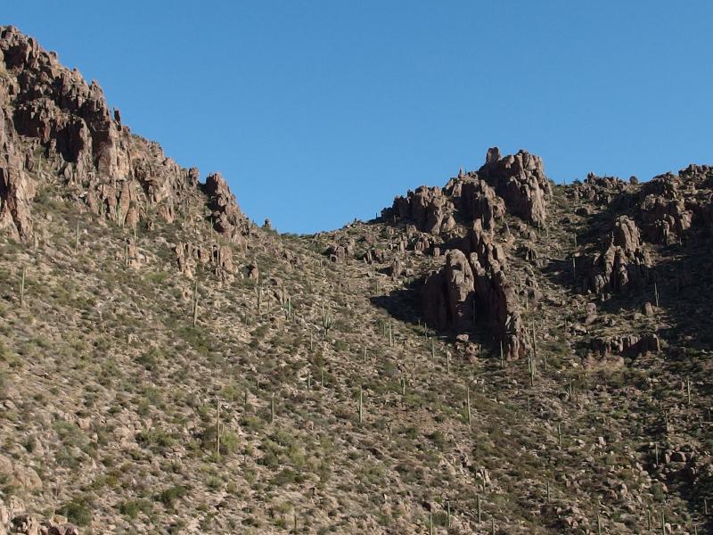
We got a late start and didn't reach the trailhead until sunrise. Which was disappointing, considering how easy the first few miles would be and how hot it would get this afternoon. Our first two miles was flat walking on the Goldmine Trail, which skirts the boundary of Superstition Wilderness and (almost) connects Peralta to Carney Springs (and continues all the way to Hieroglyphics) and stays on level ground below the cliffs. Plus, I had already walked this trail on my previous visit to Wave Cave. There was nothing new to see here, just simple walking on a level gravel path, which would have been trivial to do in the dark.
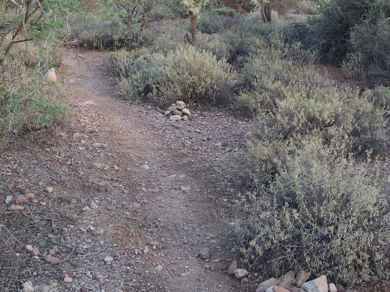
Easy going on Goldmine Trail
I did have a little fun with Chris, though. There was Don's Camp along the way that I let him 'discover'. The surprise on his face when he saw an entire established camp, complete with solid brick walls and smooth drives, must have been close to my reaction when I found it a month ago. When we got close to the old gold mine under Dacite I pointed out the path, as it's a bit harder to make out, and we chatted a bit about when we'd go back and explore that area.
We walked, talked, and switched the trekking poles back and forth. He had never used poles before and was curious how different it would be. I gave him a few tips, starting out with using one pole and trying to keep on the alternate step, and he seemed to like them well enough. It was weird enough for me to be using two poles without a heavy pack, anyways.
It was with some excitement that we finally reached the junction with Carney Springs. The grade was gnarly, a steep 1200' over hard rock and loose scree, and the sooner we could tackle the less sun we'd have to climb in. Even with our late start the morning light was having a hard time breaking over the eastern hills and, with any luck, those hills and the tight canyon of Carney Springs would keep us in shade for a while longer.
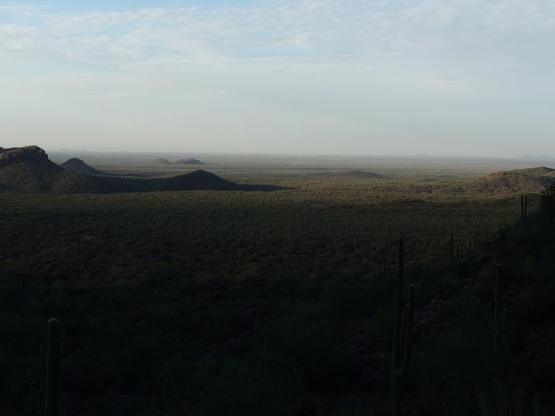
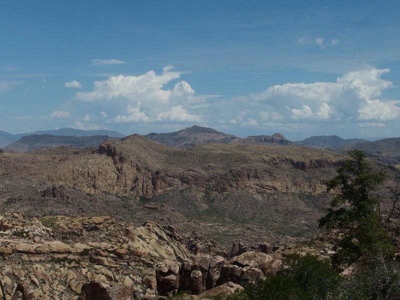
Morning light shining over the green valley
Chris and I had descended down this trail way back when we did hiked the entire Superstition Ridgeline, and more recently Chris had been here with Kirsty on a quick in-and-out to the back of Three Sisters. There are cairns and some sections of beaten path and the rest is guesswork. Chris admitted that on his recent visit they had wandered off trail and ended up some fifty feet to the west for part of the climb. I assumed that the two of us would be immune to such wanders, yet forty minutes in and we were standing on a crumbling slope in the hot morning sun with no trail. So much for experience.
Lost on the steep scree climb
We slowly wandered along the steep slope, picking our way around the more painful plants and being mindful of the shifting ground underneath, curious how long it would take before one of us was going to get bit by a snake. Bushwhacking in the desert is a great way to run into rattlesnakes. We knew the path was below us to the right, just didn't know how far down and how much elevation it was worth losing. Eventually we were forced to drop down when our crumbling slope became much more cliff-like and rediscovered the trail without any fanged encounters.
Back on the trail we assessed the situation. We were both pretty damp with sweat, growing weary of the climb, and Chris was getting worried about his footwear. He had just purchased some brand new waterproof hiking shoes and they weren't breathing at all. I wanted to push on to the false saddle, which is about 2/3 of the climb in, and he wanted to rest. So I went on alone and, after a breath-robbing push, made it to the false saddle. Wasting little time I stripped off my shirt, hung it up on a rock to dry, and plopped down in the shade to rehydrate and eat some snacks. It was disgustingly hot already.
I could see Chris making his way out and, once he took out his earbuds, we shouted back and forth a bit. This climb is more than a little demoralizing. Carney Springs is much less than Flatiron or Brown's Peak, though it felt so much harder. We tried to blame it on the temperature or on the relatively high humidity but once Chris made it to the false saddle we had a serious talk about whether or not to continue. There was still 400' before we topped this climb and another 500' on the way to Robber's Roost and this heat was making everything seem worse.
More steep climb to West Boulder Saddle
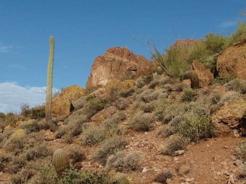
Hot sun on the hot cliffs
The long break helped immensely. We let our clothes dry, Chris changed out socks, and we both snacked and drank a lot. There was enough shade up here for both of us to get some respite from the morning sun. After a good thirty minutes we decided to continue on. I mean, we were almost halfway done with both the distance and the elevation changes. To quit now would be throwing away a lot of effort.
Again we separated, with me trying to push straight on to the saddle above and Chris taking the climb in smaller steps. It's how we roll when the going gets tough - I prefer to get it done and over with and he does it in increments. Both ways work just fine. I reached the top of Carney Springs, West Boulder Saddle, winded and dizzy from the heat and quickly found a spot to sit and rest. Some fifteen or twenty minutes later and my hiking partner showed up, winded but not nearly as bad, and we gazed over the views from the saddle together.
A long view down to Carney Springs
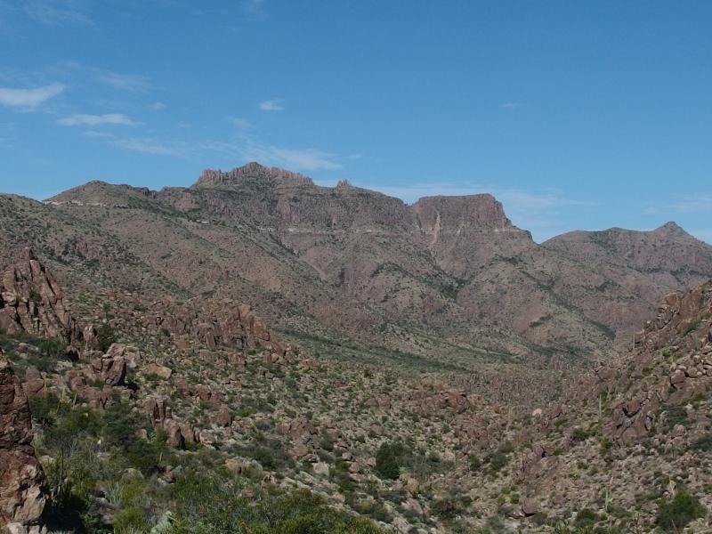
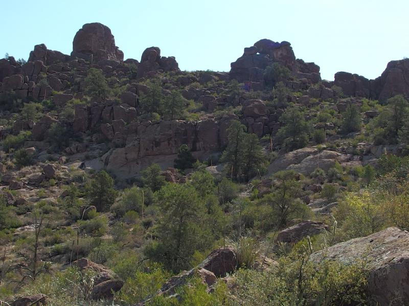
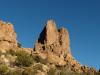
A most formidable South Peak
Three hours had passed, we were three miles in with most of the elevation behind us, and it was bloody hot out. The Arizona sun beat down on us with an intensity that had only grown as we climbed. At least the views were interesting. One thing that always intrigued me about West Boulder Saddle is that almost no drainage goes down Carney Springs, back down where we had just climbed. There is a spring (that is usually dry) from the cliffs and some little stuff from the top of Dacite Cliffs. The vast majority, though, heads north along West Boulder Canyon on a rather windy path to Battleship Mountain and Canyon Lake beyond. Everything from this saddle over to South Peak itself takes this long and windy path to the north when it would be so easy to jump south instead. Geology is weird.
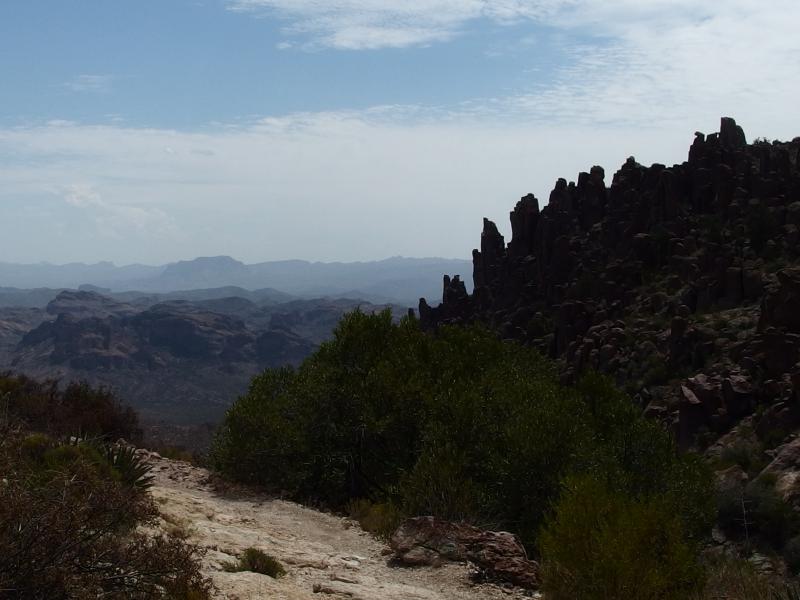
Nasty cliffs and rock ahead
Now all we had to do was follow the little wash that drains into West Boulder Canyon upstream. At first it seemed easy enough, with a few cairns and a ghost of a trail leading down from the saddle along the side of the wash, and then they vanished. Undeterred I lept down into the bottom of the drainage and was quickly faced with a mix of soft sand and abrupt rock climbs surrounded by angry catclaw. Chris had little luck up on the bank, fighting thick growth and loose rock underfoot. We pushed on, slowing down in the tough conditions, hoping to find a break. When a few rock cairns showed up on the north bank we lept at them even as they led up and away from our route.
There is no official trail to Robber's Roost or connecting Carney Springs with Fremont Saddle. We would be depending on use trails and past hikers out here to make our bushwhacking easier. So far it looked like that dependence wasn't going to work out well for us. As we followed the cairns up and out of the wash that led to the Roost I kept an eye on my GPS and noticed that we were moving at close to, but not quite, a right angle. I was okay with this detour along an easier path as long as we could eventually turn and cut back down.
Scrappy pines among the rock
A few stunted pines cropped up as we moved out of the wash. This was no small surprise, as the only other pines either of us had seen in the Superstitions were close to 5000', up by North Peak. We had assumed that anything lower than that would be too hot and dry to support trees, yet here they were at a mere 4000'. The shade from the ridge must help keep them cool during the summer.
We climbed up out of the wash, made it to the top of the side, and were greeted by another little valley ahead. Chris heard the low rattle of a nearby snake and we looked around for it like a pair of curious nitwits. The sound was difficult to pinpoint and we soon gave up. Cairns led us along the edge of the next valley and then up and out. By now we were exhausted, the sun and climb up Carney Springs having drained much of the spunk out of us, and this cross-country hiking - even with sporadic trail markers - was getting to be too much.
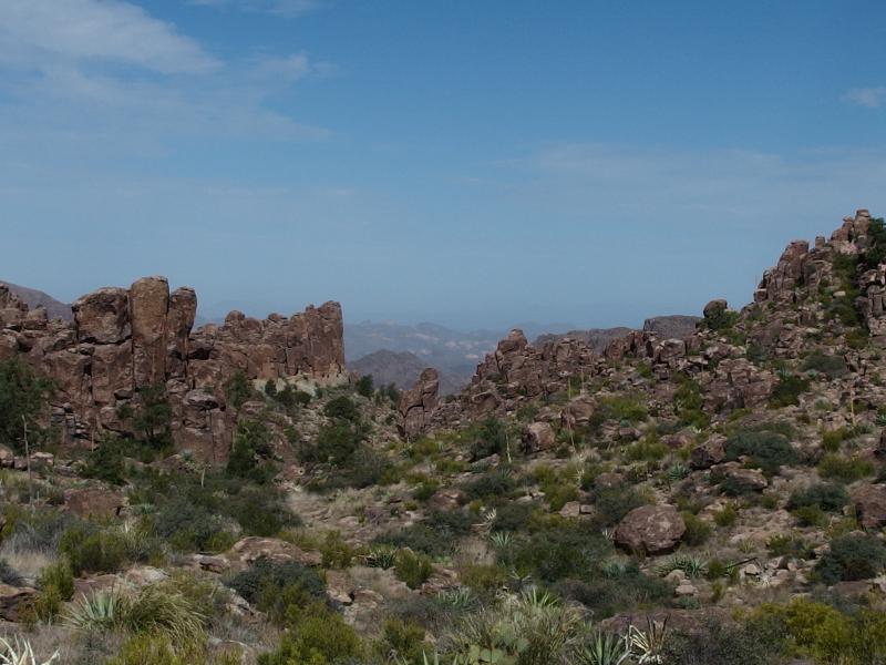
First view north over the rocky rise
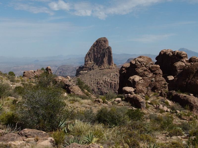
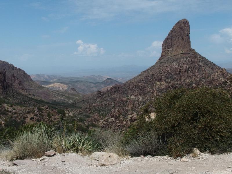
Weaver's Needle
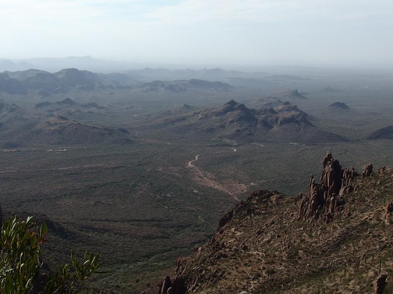
The views outside of the second valley were pretty awesome. For the first time we were on the crest of this ridge, far above Dacite Cliffs, and we could see everything from Black Mesa to Weaver's Needle. That meant that Fremont Saddle was right below us and that we had completely missed Robber's Roost. We had walked too far north and were now over a mile beyond it.
Chris called it first. He was too hot and tired to backtrack down to Robber's Roost. To reach it meant dropping back down a few hundred feet and adding miles onto an already lengthy return trip. I was not ready to give up yet. We continued together for a short time, making sure that the way down to Fremont was obvious enough for him to find it alone, and then I headed south alone. Splitting up has inherent risks, especially when off trail, but it seemed easy enough to get back to the main trail and return to Peralta Trailhead.
I pushed fast over the hard rock above Dacite Cliffs, making quick steps over the hard rock and poles clicking as I went. There were no cairns or trail to follow, just exposed rock surrounded by hoodoos and half-melted rock formations, and I had to do some route-finding when things got too tough. Paths that looked obvious would end in a box or drop off suddenly, and ways that were clear would clog up with cacti and prickly brush. It was an annoying, if relatively quick, walk south towards Robber's Roost.
Tough rocky paths between rock
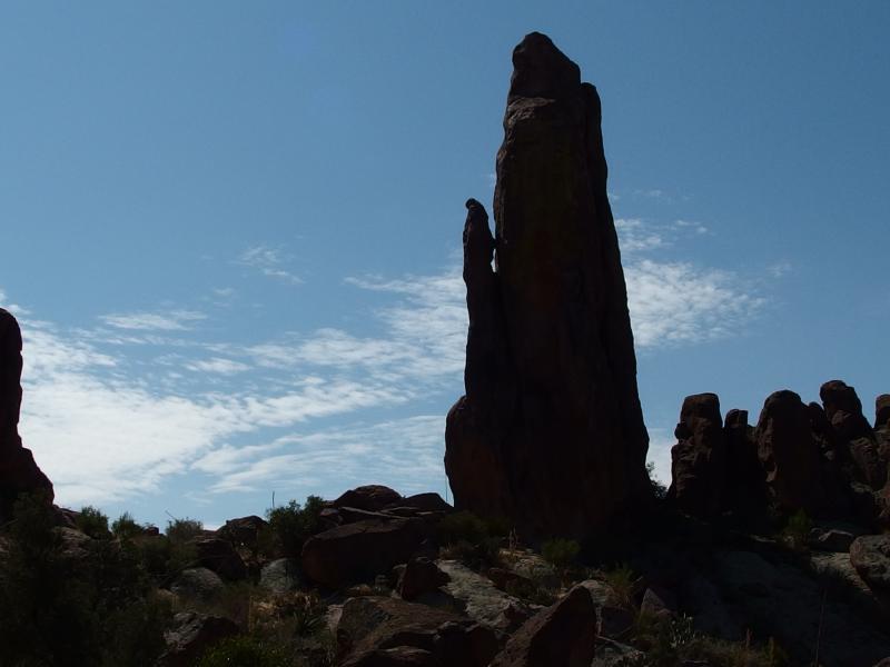
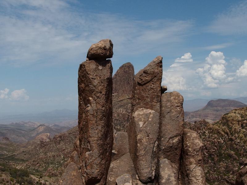
A lonely pinnacle
About an hour after separating I came upon a large, flat clearing that looked pretty suspicious. My GPS claimed that I was within a few dozen meters of the spot so I began to slowly circle around. Again, I was unsure what to look for here, so I kept an eye out for cairns or spray paint or anything that looked suspicious. When a half-path through some grass showed up I took it and found an overgrown, foreboding gully with steep walls. There had to be something in there.
Making my way around the gully was not easy. Huge rock formations soared up in places to create impassable walls and clusters of desert growth guarded other spots. I eventually found a narrow chimney and was able to drop down ten feet in a slow shimmy before sliding down a rubble pile to the bottom. There was also one spot where a massive catclaw forced me to slide tight against a wall and still dug deep into my flesh as I passed that was particularly unpleasant.
The gully wore south and I followed, picking my way along the broken ground, and then a narrow window showed up and I was there. I found the Roost, or at least what I hoped it was. On the south end of the valley there is a sudden dip of eight feet that forms a large bowl, with carved chutes for seasonal flows to go through, and all around the bowl huge rock formations stretch high in a protective grasp. Sliding on those carved rock chutes didn't look comfortable so I made my way around slowly looking for an easy path down.
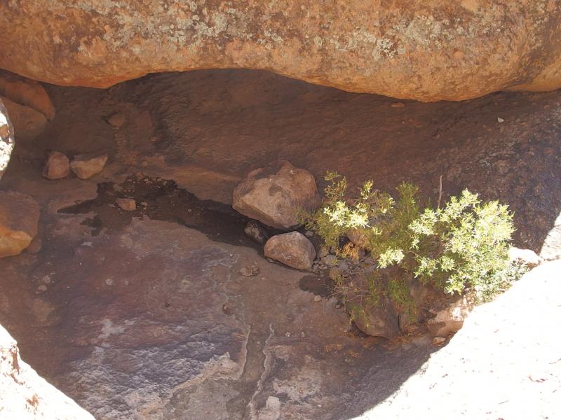
Looking down at the roost itself
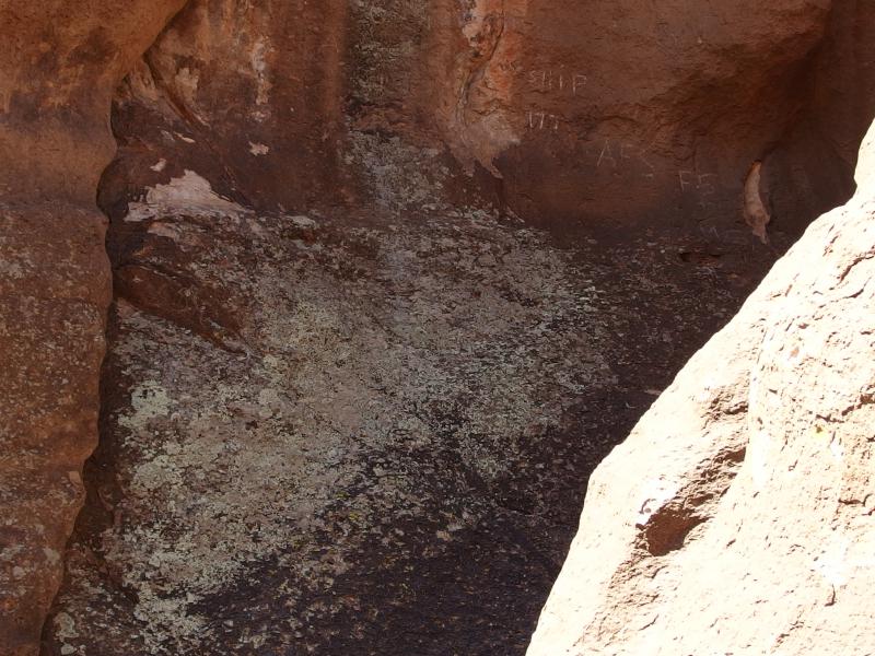
Scratched messages at Robber's Roost
I never found a way down. Instead, I gave up after fifteen minutes of circling around and sat down for a rest and some snacks. The heat of the day was oppressive. Exhaustion was going to be a real concern today, even as I continued to push water and take regular breaks in the shade. Chris probably chose the correct option. Shoot, the walk from Fremont Saddle to Peralta Trailhead is only two miles - he was probably already back at the car. I still had to find the darn saddle.
After that break I headed back to the large, flat clearing above the gully and Roost and started on my way north. There was a trail here, one that led along the side of the ridge, that I had apparently paralleled all the way here. This trail was ridiculously easy to follow and was almost level for much of the return. As I walked I listened to the sound of the rattlesnakes and enjoyed the epic vistas. Them rattlesnakes had been shaking ever since I separated with Chris, annoyed by my clicking poles, though I had yet to see a single one.
A hot view east

From Four Peaks to Weaver's Needle
Bluff Springs and Tortilla beyond
These vistas were something I had not expected. Weaver's Needle stole the show, being so close and a mere few hundred feet higher than my vantage, yet there was plenty of other things in the distance to enjoy. Malapais Mountain made a multi-colored, lazy bump next to the short and craggy Battleship Mountain barely visible over Terrapin Pass. Four Peaks was way out there, looking more like a single ugly peak at this angle. Bluff Springs Mountain was also close by, the saddle near the peak swinging low from here. Beyond Bluff Springs was unknown land. Tortilla Peak is somewhere out there, as is Music Mountain and Horse Ridge, but I didn't know enough to point out which was which.
The trail twisted and started a steep descent near where Chris and I had split. Shoot, he may have found it and followed it down an hour or so earlier. It twisted a bit over the rougher sections and brought me to a spot called the 'gunsight', where a gap in the hoodoos make for a convenient slot for Weaver's Needle to line up. And then the trail ended. A huge rock formation stood between me and Fremont Saddle and I had to fight catclaw to get around it.
Weavers in the gunsight
Black Mesa beyond Weaver's Needle
I stood at the saddle for some time. The last time I was here it had been swarming with people. There were day hikers and campers and groups and solo hikers, all congregating and milling around, and we had zipped through them and sped down towards the trailhead. Today it was only me. I enjoyed the views over towards Yellow Peak down East Boulder Canyon and gazed over at the other yellow rock east of the saddle.
There are two trails to take down from here. One goes up that yellow rock and heads past Geronimo Cave to Bluff Trail and is known as 'Cave Trail'. The other is the more boring Peralta Canyon. The former was tempting, new ground to explore and exposed bluffs offering views, but I was way too hot and tired to try it alone. All I wanted was some cold water and chair. I turned and headed down Peralta Canyon.
Starting the long descent down to the trailhead
Today's high temperatures must have been keeping most people in their homes or in air-conditioned malls. I only passed one other hiker on the way down, a lonely women hoping to bag Fremont Saddle, and the rest of the walk was in silence. When I finally made it back to the car, well after noon and feeling hot and wobbly, I was relieved to see Chris waiting for me and more than ready to start on the drive back. This loop had been a difficult, if appropriate, welcome back to desert hiking.
Comments (0)