Rainy Supe Loop: Crossing Peter's Mesa
The day had such a promising start. There was some spitting rain over the night, just enough to lull me into some of the best sleep I've ever gotten while backpacking. I woke up before dawn and had my gear packed without waking up the two men I had shared a campfire and stories with last night. The sky was a weird dull blue color, overhead clouds leaching away the light and confusing my sense of time, but everything else seemed to be adding up to a great day of hiking in the Superstitions.
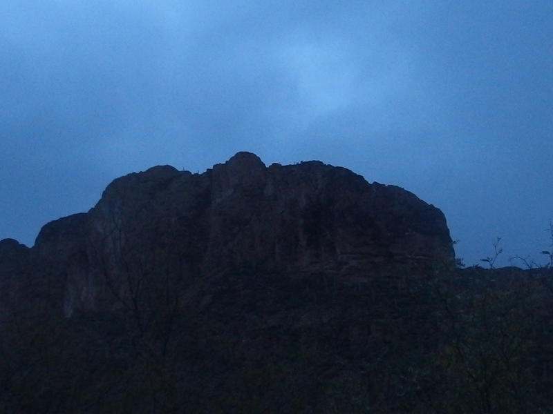
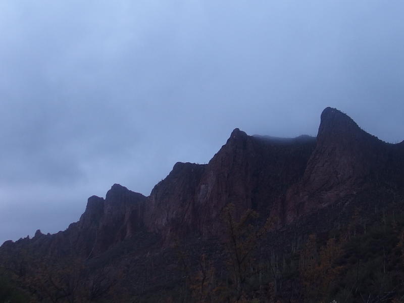
Dark blue-grey clouds over Bluff Spring Mountain
Last night I had spent the night at Marsh Valley, a mile or so west of Charlebois Spring. Bluff Spring Mountain loomed above the valley to the south, huge bluffs reaching up into the dark sky, and I gazed up in wonder. One day I want to do some serious exploring of Bluff Spring Mountain, walk the length and rim of Hidden Valley as well as check out the nearby waterfall that drains it, which may end up being a future backpack adventure on its own. That waterfall should drain across this trail nearby, though it probably is too overgrown to make out without coordinates.
Back to the morning. The first destination would be Charlebois Spring where I would hopefully pull three liters before a long trek across Peter's Mesa. If there wasn't any water than I'd still be able to bail on the whole weekend and head back to the van some six miles away. I would probably have to check back on the two men at Marsh Valley first - they would need any remaining water of mine to get back to First Water Trailhead.
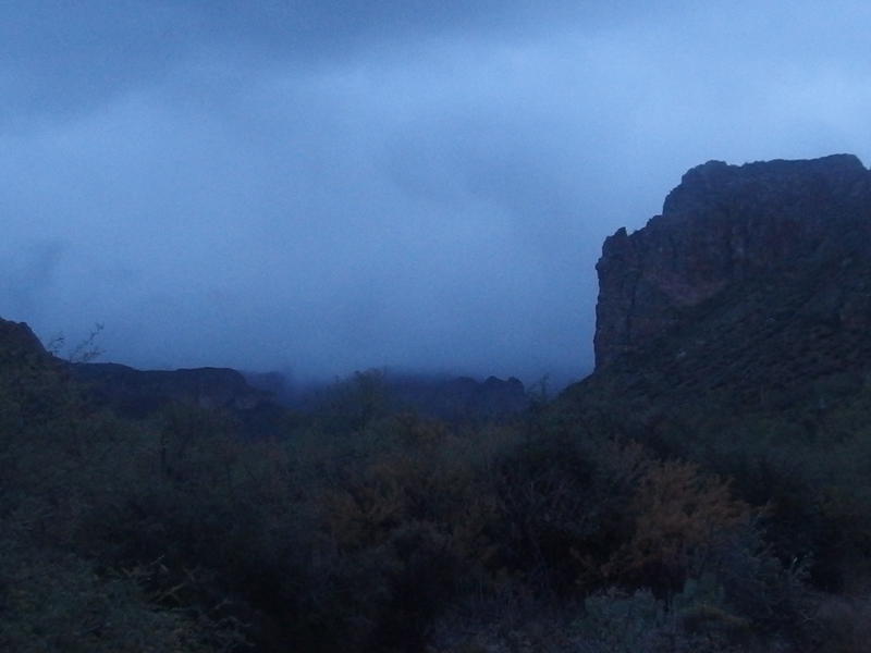
Low clouds hiding most of Music Mountain
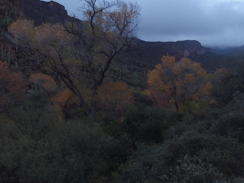
Fall colors within La Barge Canyon
The trail was easy and I made quick time along it, stretching my legs and pushing past the wet overhanging growth with some annoyance. I only had two shirts and a sweater for warmth, and every wet branch that rained down on me was decreasing the effectiveness of them. Sure, I had a poncho, but that would just catch on the overgrowth. Other than the wet brush things were enjoyable enough. This segment of Dutchman's Trail followed an easy section of La Barge Canyon, which apparently had enough flow to support sycamore trees, a most surprising sight in this desert environment.
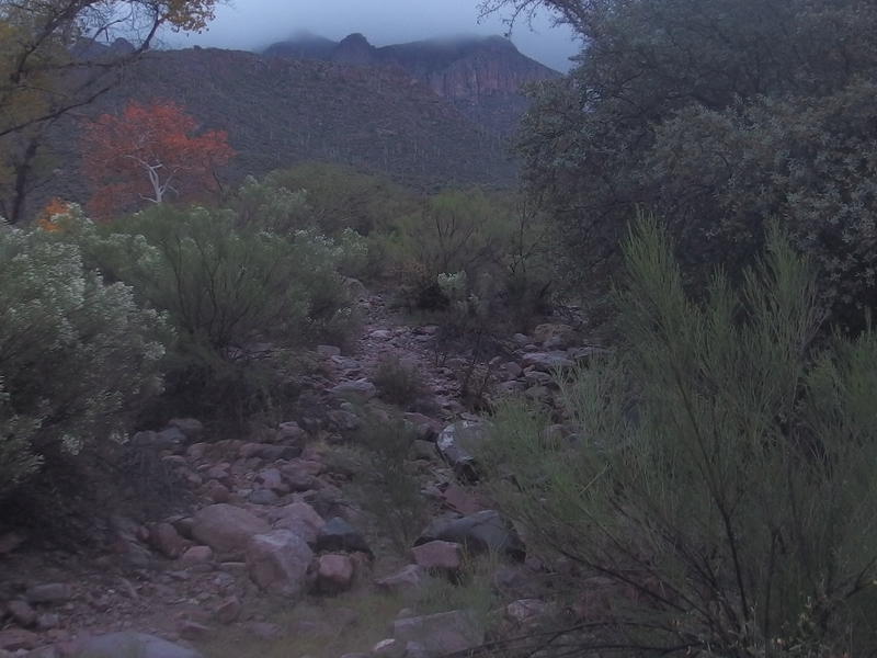
Dim morning light along the dry wash
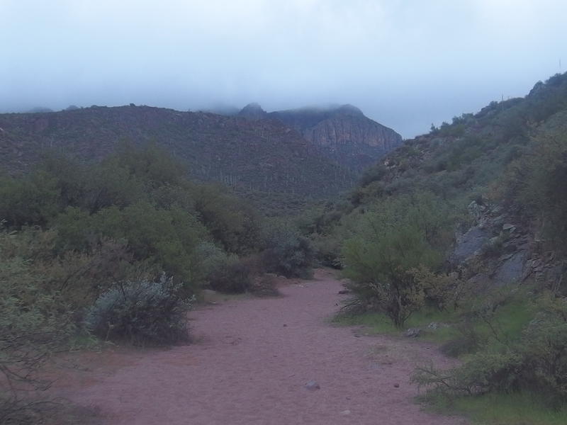
Wide, sandy trail along La Barge
I was a little worried about the clouds. They weren't moving that much, just sort of hanging maybe a thousand feet above the canyon floor, which made every nearby peak (including Black Mountain, Bluff Springs, and Music Mountain) fade away into grey mist. Did that mean rain? There had been forecasted rain overnight but nothing for this morning. Perhaps I would be forced to use that poncho.
Low clouds hanging onto Black Mountain
The trail eventually crossed the wash, climbed a short distance up the north bank, and then cut back east. So this must be Charlebois. I continued beyond the cut, along a wash that led north up the slopes, and soon heard running water. That, that was good to hear. There had been nothing in La Barge, not a single pool of water, but this spring was still running. It probably all seeps into the ground before reaching La Barge Canyon.
There were a few small campsites, nothing larger than the ones at Marsh Valley, making me glad that we had stopped back there last night. I wasn't really interested in exploring for more though. I mean, there is a rather famous group of Spanish hieroglyphics (the Master Map) as well as the source of the spring, plenty of things to warrant a return trip. Today I just wanted to get some water and head out. I followed the wash to a deep pool, dropped my gear, and headed over to start pumping.
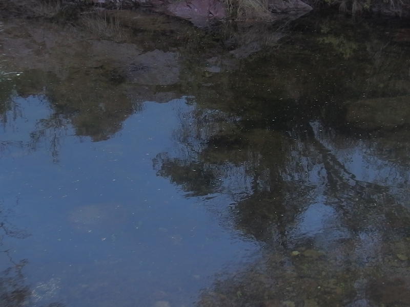
Surprisingly deep pool of water below Charlebois Springs
Remember when I said things started so promising today? This is when they got ugly. First came the rain. I was poking around the edge of the pool, looking for a good spot to sit and pump, when the great big alligator tears began to fall. It felt like the first few drops of a downpour so I quickly returned to my pack, threw rain pants over my bag, and pulled a poncho on myself. When I got back to the pool and started to pump I got my second fun surprise - my nalgene fell off the pump and dropped into the pool.
Crap. That nalgene screwed onto the end of my pump and made it easy to filter water. And now the nalgene was contaminated. I fished it out, threw it in my pack in disgust, and tried to think of options. Chris brags a lot about his filtering system. He takes a Camelbak bladder, pops off the end of the drinking hose, and hooks the hose directly up to the end of the filter. Then he pumps directly into the bladder without even opening up the huge lid on top. With rain streaming off my poncho and dripping off my clammy hands I tried the same technique. The hose didn't quite fit the bottom of my filter so I held it with one hand and awkwardly pumped. I wasn't confident in the integrity of this system yet I didn't have much of a choice.
Once I was done pumping water I made some quick wardrobe changes and headed back to the trail. Rain pants, a single shirt, gloves, poncho, fresh socks, and boonie hat would have to do. The goal was to stay warm enough to keep from hypothermia (the temps were barely above forty) while keeping much of my clothes dry in my bag. The rain continued to pelt down as I headed back to Dutchman Trail, drumming up from growing puddles in a mockery of the forecast I had based my plans on.
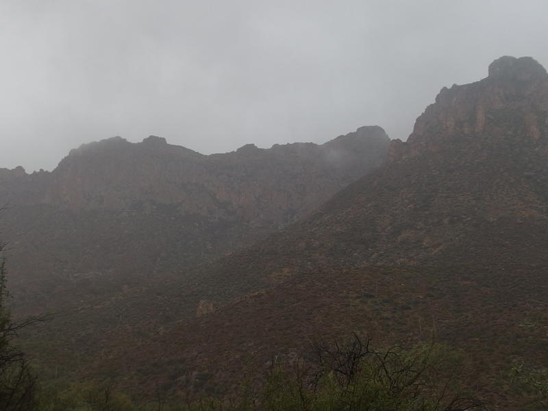
Rainy mist blocking the view of Bluff Spring Mountain
Peter's Trail junction showed up in dim mist and pointed gloomily up a rocky, muddy hill. Eh, I wasn't about to turn around because of a little rain. Lightening, maybe. This was just rain. I headed up the trail, slowly climbing the hill with muddy slogs. Every five or ten minutes I would lose the path and be forced to look around for the nearest cairn. Peter's Trail is not a very popular route, meaning there was less of a path and fewer cairns, and the drumming rain worked against any route-finding skills I thought I had.
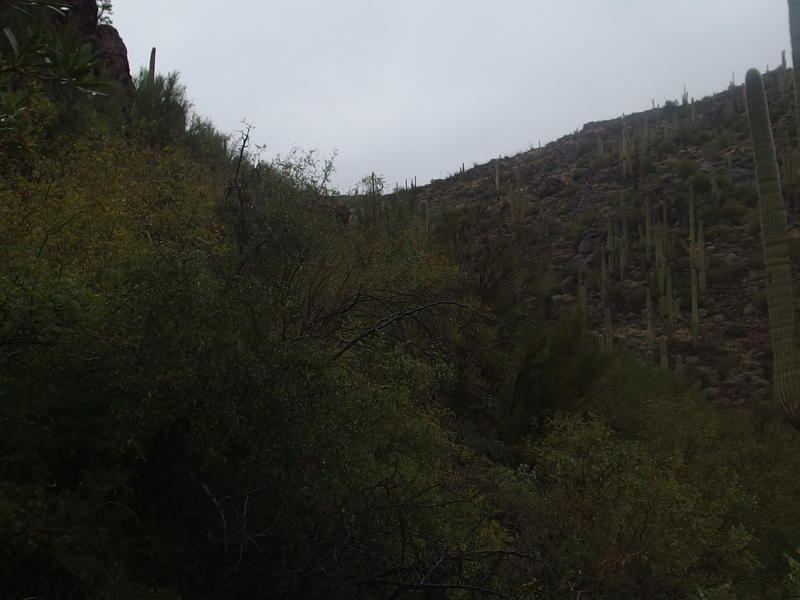
Almost to the top of the Music Canyon spur
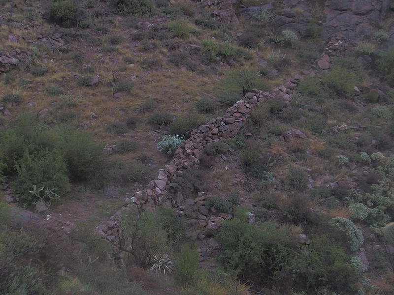
Breached rock wall below
A long hour after leaving Charlebois Spring and I began to reach the head of a gorge. I wasn't completely sure at the time where I was, just being on a trail was good enough for me, even if it was on the side of a hill in the middle of a desert rainstorm (no, it wasn't a monsoon, even if it felt like it). I would later found out that this is one of the tributaries of Music Canyon, the next wash east of Charlebois, and that the rock wall on the bottom is the remains of an old ranching fence. Another side destination that I may check out at a later time.
More interesting to me now was a slackening of the rain. The steady downpour had decreased to a drizzle, a most welcome change. I still had to keep my poncho on but could look around and enjoy the views a bit more. The saguaros were swollen, the colors of the desert washed and clean, and I began to let myself hope that the worst was over.
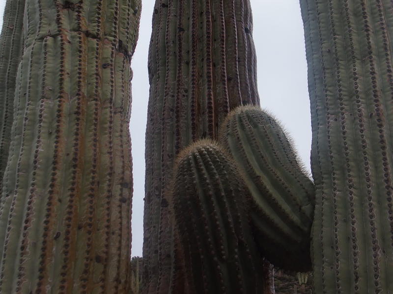
Saguaro engorged from the downpour
Beyond the little gorge the trail curved west, climbing a bit more, and suddenly offered a surprising view down into Charlebois. I really did not expect this. Tall cliffs soared down to a green valley that seemed shockingly far below. The book I reference for many of my hikes, Carson/Stewart, mention that following this valley down from Peter's Mesa can be a real challenge. I can imagine - not only is it very steep, the bottom looked completely choked up in thick green.
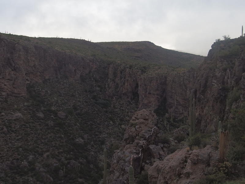
Steep rock walls on the upper part of Charlebois Canyon
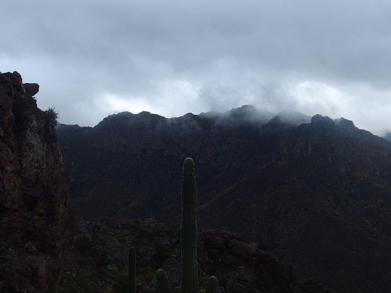
Low clouds, dark mountains
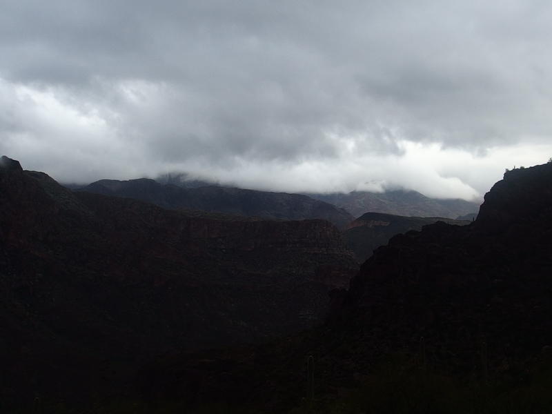
More low clouds to the east
Clouds still hung low on all sides. I was nearing the main part of the mesa at 3500' and the fluffy greyness seemed just out of reach at times. Every peak around me, even if it was barely 4000', was hidden in low clouds. They were no longer motionless, either. A stiff breeze had picked up to push them around, even offer brief hints of almost-sun at times, and keeping things exciting along the horizon.
Once I reached the edge of the mesa I took some time to take stock. My shirt and hat were soaked, my arms and hands were cold enough to give me intermittent shivers, and my boots were squelching loudly. It could be worse. I wasn't dangerously cold thanks to quick hiking and the steady uphill clip and my poncho had kept my core and pack dry. Some quick snacks raised my spirits and I debated stopping for breakfast. Eh, I'd rather wait for Kane Spring so I could stop and get pump some more water at the same time.
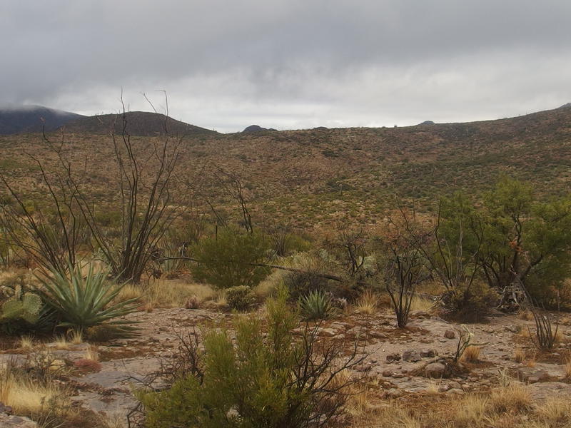
Bright post-rain colors up on Peter's Mesa
Peter's Mesa is a long saddle of a ridge that connects Malapais to Music Mountain, a few miles apart. There are a few lazy rises along it that I didn't expect, as well as some deep gorges from the start of nearby creeks. For some reason I had hoped the whole thing would be as flat as a table. The trail tries to stay level and avoid the messy stuff, swinging east around a gorge that drops into Charlebois than west around a small 300' rise.
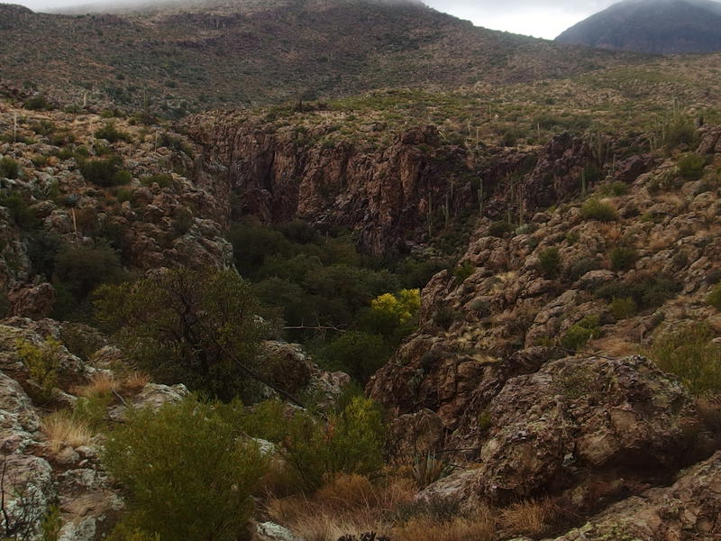
Sudden gorge, one of the feeders for Charlebois
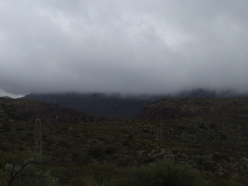
Low clouds completely hiding Malapais Mountain
I had hoped for some good views from the mesa. This was the closest I've been to Malapais and Music Mountain, both peaks that I want to bag in the near future, as well as the remote Tortilla Mountain. All three were shrouded in mist. Malapais in particular was frustratingly dark. This is one of the best approaches to its peak, from this mesa past Squaw Canyon and up the southeast face, and from here it was all hidden.
The breeze whipped around my poncho and chilled me so I tried to move fast. The trail wouldn't cooperate. It faded in and out of sight, cairns and path fading away into frustrating nothingness, and I was forced to backtrack far too many times. There was one time, right where the trail makes a sharp turn to the right to pass over a saddle, that I got stuck making slowly-growing circles to find any hint of the path. Well, hopefully I'll remember some of this on my next visit.
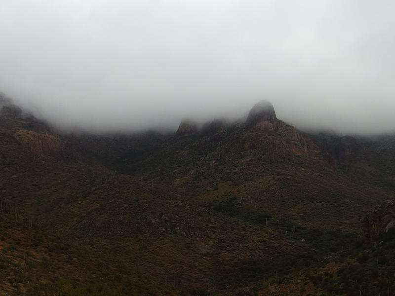
Tortilla Mountain completely shrouded by clouds
My path followed a saddle up and I got a direct view over at Tortilla Mountain. Well, as direct as I was going to get today. The whole thing was still shrouded in mysterious clouds. I couldn't tell the peak from a ridge to any nearby spurs. All the more reason to return here on a clear day.
On the far side of the saddle was a descent down into a lush green valley. Hey, this might be my final descent to Tortilla Trailhead, a sort of halfway point for the day. With a quick step I dropped down into the little canyon, marveling at how green everything was, and stopped only when I reached the bottom near some fresh pools of water.
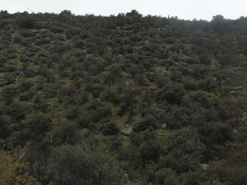
Thick green on the shaded part of Peter's Canyon
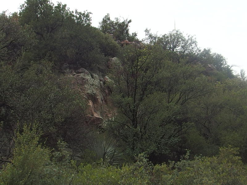
Lush trees and undergrowth in the canyon
If this was the last descent to Tortilla Trailhead then I had just missed Kane Spring. I didn't care - there was water enough to pump in this canyon. The rain had stopped and I pulled off my pack in hopes that it was time for breakfast. Before getting my stove out I glanced at my map... and froze. I was only in Peter's Canyon and still had miles to go before either Kane or that trailhead. So much for that hope.
I couldn't bare to look and see what time it was. My stomach knew I was making terrible time on the trail today, with the backtracking and storms and climbs and everything. Before I could decide whether or not to make breakfast the rain started up again and it made more sense to just keep moving. The least I could do was trade out some clothes. My shirt was soaked through and things were getting uncomfortably cold.
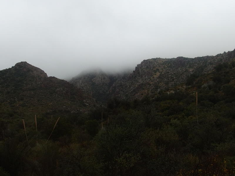
Plenty of clouds blocking the sun
Peter's Canyon drains the area north of Music Mountain up towards Tortilla Flat. It's an interesting canyon that I'll be exploring again, especially the segment that runs alongside Malapais Mountain. Today I had zero interest in it. The trail followed the canyon southeast towards Music Mountain for a short time before swinging north up a saddle towards Tortilla Trailhead. As long as the trail and canyon led me forward than I could enjoy this area on a future date.
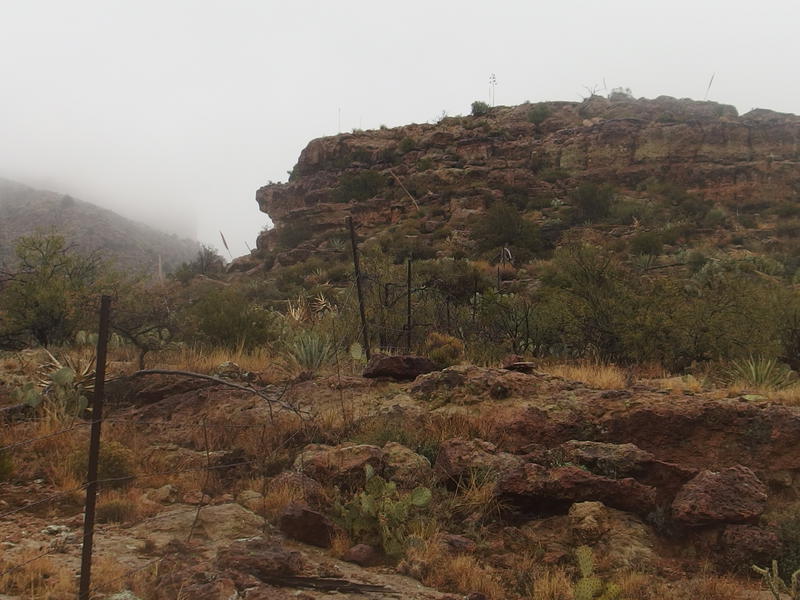
Fence near the big descent
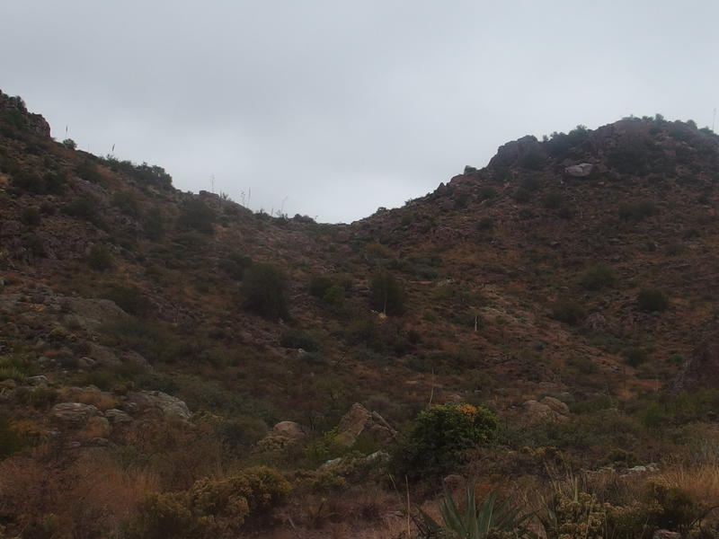
Almost to the saddle
The only section that was truly confusing was where it swung north. Here the trail ran into an old rusty fence and the cairns split into two separate trails. With the wind whipping up my poncho and chilling me I looked around and simply guessed at a saddle to head towards. There wasn't many landmarks to base the decision on, every significant peak hiding in the clouds and blending in with the nearby hills, but I got lucky. Two hours after leaving Peter's Mesa I was finally looking down towards Tortilla Trailhead. I was finally - almost - halfway done with today's hike.
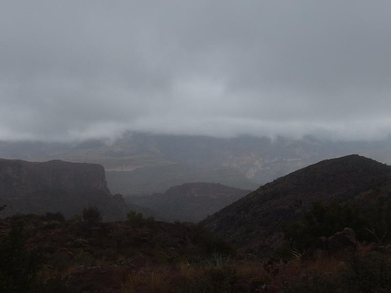
Humbling view across the Tortilla Flats
This descent was much more serious than the one into Peter's Canyon. The trail swung back and forth between two gorges switchback-style before settling down into a more level grade. There were a few switchbacks that, between crumbling rock and the wet morning, had me thankful for my trekking poles. Even the 'more level' section was tricky over damp rocky outcroppings. At some point I must have passed by Kane Spring. The drizzle and tough descent kept me more focused on the ground at my feet than looking around for that side destination.
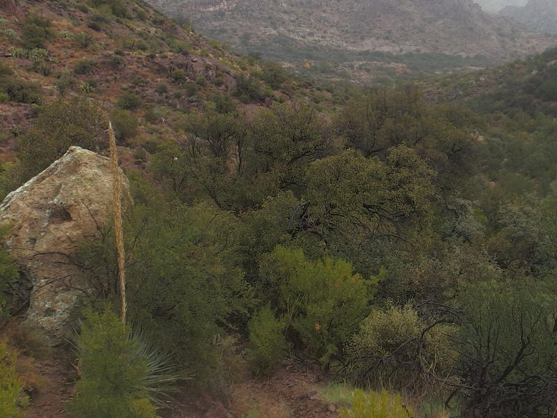
Thick green growth around Kane Spring
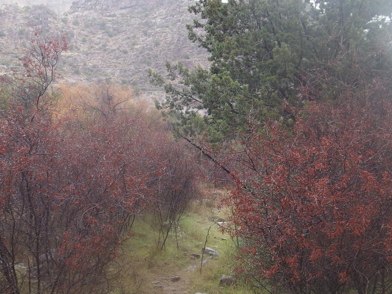
Soaked fall colors along the trail
Finally things leveled out and, coincidentally, the rain stopped. I paused and looked around. I was well past Kane Spring and, while the wash next to me had trickling water, didn't want to filter from it. The water had flowed over the trail several times and I question any water source that close to human traffic, even if it is a remote trail. Indian Spring was somewhere off to my left. I saw some sycamores and, taking a hint from La Barge, assumed that there was water over there. A few minutes of bushwhacking and I found a deep pool under a large tree that looked perfect for pulling water from.
It was well after one. I regretted looking at my clock, already aware that I was behind schedule, yet I needed to make some decisions. As I boiled water for coffee and oatmeal (one in the afternoon isn't too late for brunch, is it?) I rolled through my options. At some point my giant loop had to circle back south and west, either through JF Ranch or Red Tanks. Or I could just turn around now. I never turn around. My original plan through Roger's Canyon was no longer an option. If I went through JF Ranch this weekend would be a respectable forty miles, but Red Tanks would give me better campsite options on the Hoolie Bacon Trail and keep things closer to thirty. There was three miles left before I had to make that decision.
A few minutes after leaving Indian Springs and the rain started back up, slow at first, than steadily growing. I had taken off my poncho during brunch in a fit of optimism and had to pull it back on less than thirty minutes later. Being dry would sure be nice. Still, a full belly of coffee and warm oatmeal had put new strength in my legs. I zoomed down the trail, ignoring the rain as I slid past the brushy overgrowth and along the rocky wash, wondering if there would be a Starbucks or McDonalds at Tortilla Trailhead.
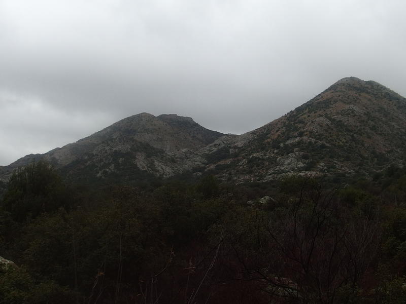
Oddly colored rocks on Horse Ridge
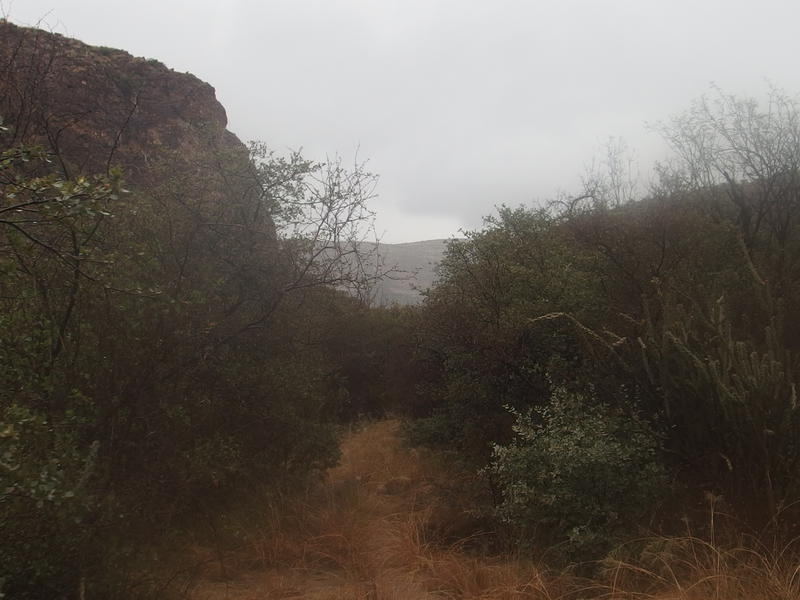
Brush crowding the last section of trail
The rest of the trail was blur. It seemed pretty, with tall cliffs on either side and frequent crossings on a flowing and scenic creek. The rain sucked all interest away from that. When things began to open up I noticed some water tanks ahead and, since the trail seemed to head in that way, bee-lined to it. There was nothing much to see here, a knocked down windmill and old two-track, so I just took the track until it led to another track with a dead-end loop. An unremarkable trail led south from here.
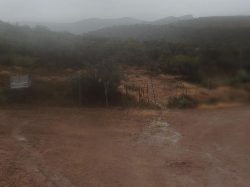
Mud and buckets of rain at the Tortilla Trailhead
Was this really it to Tortilla Trailhead? There was nothing here, no wilderness signs or vehicles, just a muddy loop and a footpath. Rain poured down on me and splashed up from the ground and I stood and looked in growing despair. I refused to turn around. Soaking wet, shivering slightly, and unsure if I was heading down the JF Trail or some random old ranching trail I started heading south and wondered if this weather was any better than summer heat or winter snow.


Comments (0)