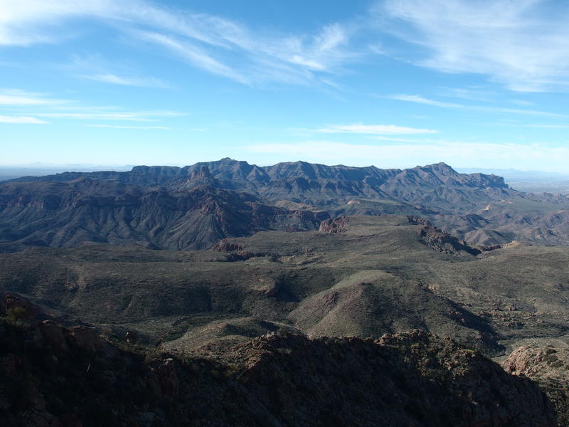
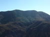
Tortilla Peak
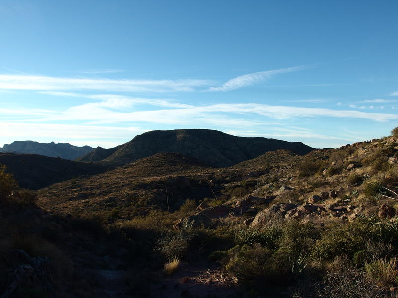
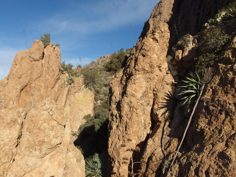
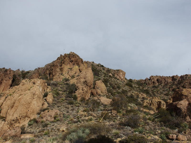
Yellow rock on Tortilla Peak shone in the early morning light. I stood and panted in the valley below, cold air rushing in and out of my mouth, already out of breath from the quick mile of rocky hiking in from the trailhead. With some guesswork I could make out my planned route to the peak: cut through the saddle on the left, circle behind the cliff-lined ridge, climb to the top near the center, and then eventually summit the hat-shaped peak itself. It looked easy enough from here, a mile distant and 1500' below, about as easy as tracing it out on the topographic map had been. Hacking through the desert growth and climbing unproven ground would not be easy.
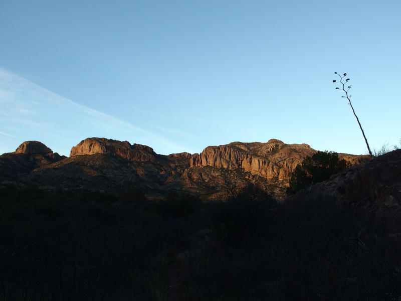
Morning light on Tortilla Peak
This morning had gone amazingly well. While a late start had me at the parking area off of AZ-88 a full thirty minutes behind schedule, it was just in time to bum a ride from a pair of hunters driving down SR-213. There was no way my van could drive three miles down the rugged service road to the true start of my hike, but these hikers had a solid off-road vehicle and a seat to spare. So I saved my legs miles of boring walk, had some fun conversations with strangers, and got back on schedule. Not a bad way to fix a late start.
Once at the true trailhead I booked it down Peter's Trail, mostly to keep warm. It was darn near freezing this morning and I only had a shirt and sweater on me. The going was just tough enough to keep me hot without starting up a sweat. Recent rains swelled the creek and made the handful of crossings interesting, while trail maintenance pushed back the catclaw and other prickly things for easy moving. When I did finally stop for that view of Tortilla Peak I was feeling pretty good about the day.

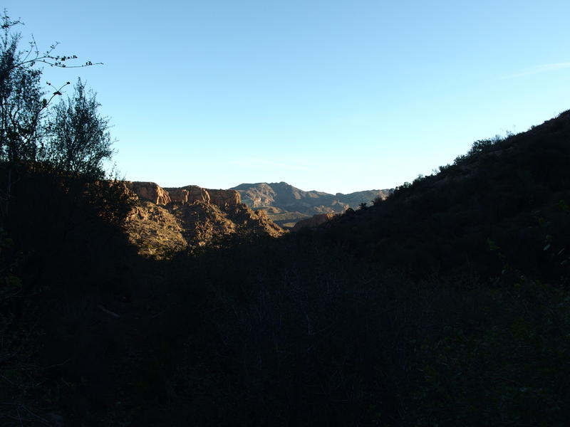
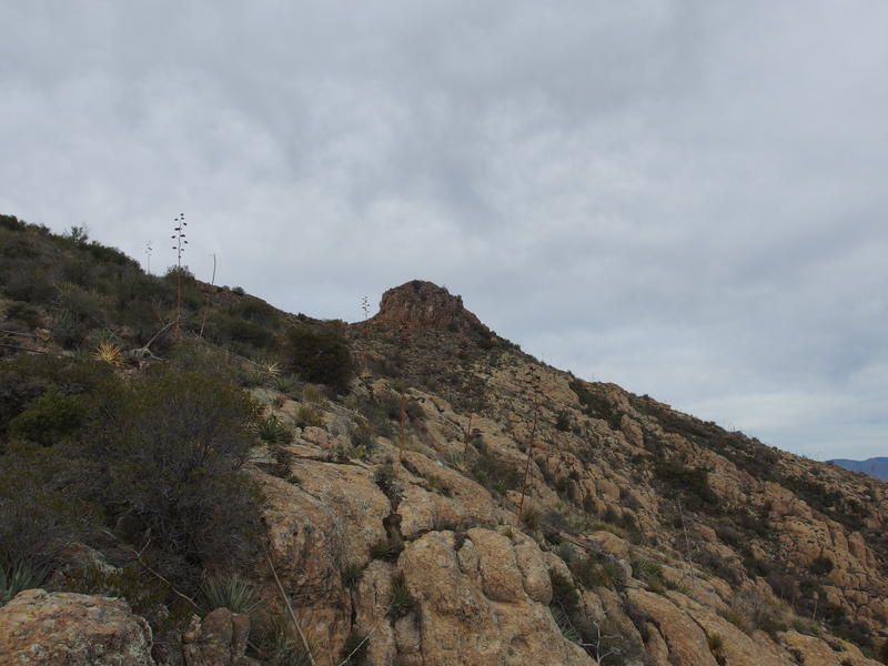
Bright skies over a dim Peter's Canyon
Feeling good was important. Tortilla Peak is something that's been on my mind for over a year now. After last winter's failure on Malapais Mountain I've had my sight set on Tortilla as a way to get some hiking confidence back. It's much less frequented than Malapais, the climbs are more challenging, and the views would be stellar. I've tried a few times in 2016 to tackle it, either turning away from changing plans or heat sickness, so if I was to succeed today I needed to be in a positive mindset.
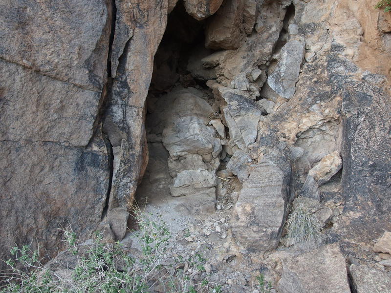
With my breathing back to normal and fog retreated to the fringes of my glasses it was time to move on. Leaning into my trekking poles I headed forward, into the slowly climbing trail. This little valley does a great job at sneaking in the elevation. So far I had only gained around 200' and there was another 500' waiting for me before the first saddle. With long strides forward I ate up the trail, hopping from rock to rock when things got rocky, and soon reached a suspicious fork to the left. Leaning my poles against a nearby rock I ventured over and easily found Kane Spring.
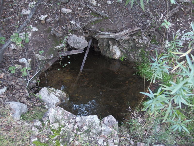
Small, rocky hole of Kane Spring
That was way too easy. I've been on this trail twice now, both times hoping to find this little spring, and here it sat not twenty feet from the trail. The large cottonwood below it looked familiar too. Pretty sure I walked down this fork before and just didn't look in the right direction. I plopped down a waypoint on my GPS, glanced around one more time to plant the surrounding features in my memory, and then came back out to the trail.
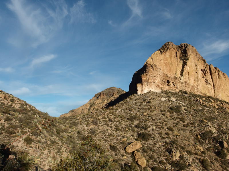
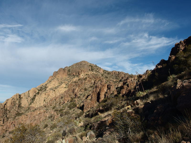
Looking east towards Black Cross Butte
Fifteen minutes later and I crested the saddle and rested briefly in the morning sun, the first sun I had felt so far today. It felt good after the chilly and frosty valley below. Part of me was tempted to continue on the trail a short distance and look for an old camp that Jesse had stayed at on his fateful trip up here in 2009 (more on him later). I looked over at the overgrown hillside that I'd have to tackle next and even larger part of me wanted to give up on Tortilla Peak and do something easier, like Music Mountain, instead. I don't like to listen to my voice of reason. Girding my loins I headed north, away from the trail, and fought a difficult path onward and upward.
Start of the off-trail climb
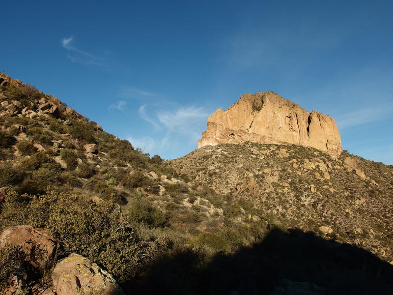
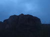
Shadows clinging to the sides of Music Mountain
After two miles of hiking on Peter's Trail the off-trail was a harsh difference. Not only was there cacti and prickly brush to avoid, jagged boulders and loose ground gave way easily under my heavy boots. There were no trails, game or human, to follow here. I was blazing my own path through a treacherous area that few had ever tread.
Slowly approaching the first saddle
There was a half mile between Peter's Trail and the second saddle, the one that lies in between Peak 4535 and the southern ridgeline. It's a difficult half mile, as it swings rounds close around 4535, making it hard to plan out more than a few dozen yards in advance. I tried hard not to gain too much elevation. The last thing I wanted to do was to waste height and be forced to drop down to continue onwards. After a few particularly nasty boulder sections I finally reached the saddle and was surprised to see an old ranching fence along it.
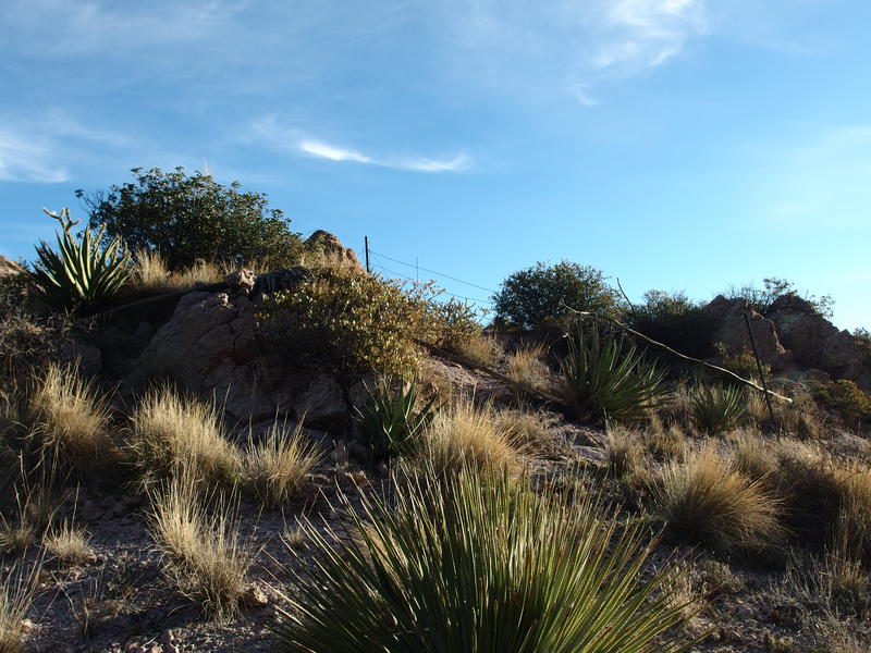
Old ranching remains on the saddle
Maybe this area wasn't quite as forgotten as I pretended it had been. A fence make sense - any cattle that grazed up from Tortilla Ranch below would have a rough and unpleasant descent into Peter's Creek in the west. Still, for a ranch hand to haul up the supplies for a fence and then build out so well that it still stood today was a surprise. There had to be a better way to this saddle, one that a horse could survive.
With my mind drifting back to the ranching past of this land I slowly dropped over the far side of the saddle. The next leg of the hike lay north, along the western side of a ridgeline, and towards a crack up the cliff side that I could only hope for. Below the shade of the cliffs was loose sand that easily gave under my feet and forced me to carefully judge each step. It would be all too easy to start a mini landslide and end up jammed between cacti along the way.
A prickly ramp up the ridge
The first ramp showed up a few hundred yards along the ridge, a second and more promising one shortly after. I took the second one. Beyond it things looked to get a whole lot more vegetated and nasty below the cliffs so I didn't feel like pushing on for a third option. My choice wasn't that great, with sporadic agave and steep rocks to climb around, but it worked well enough. A tough five minutes and I was well into the ramp, looking across a small dip and more climb beyond.
More overgrown ramp to climb
While it looked dramatic at first, even causing me to glance back at the first option and consider backtracking, the small dip only cost me ten feet of elevation and one scary hop over a dry waterfall. The climb on the other side was more fun. A large tree choked up the crack, forcing me to take off my pack and curve my body around the branches to pass by, and then a sheer ten-foot cliff on the other side had my climbing up that same tree to continue on. It wasn't bad - I'd venture to say that the rock wall on Flatiron is more challenging - though the combined risk and remoteness of this hike had my heart fluttering a bit. Once I reached the top of the ramp and the ridgeline I ambled a short distance before sitting out a quick break.
Finally, the ridge was done. Or at least I was on top of it. This was probably the most difficult portion of today's climb. From here it should be a steady 700' climb to the top. That's what I hoped for, anyways. I gazed up at the false summit above me and mentally plotted a course that wove around the right side.
Slowly getting closer to that peak
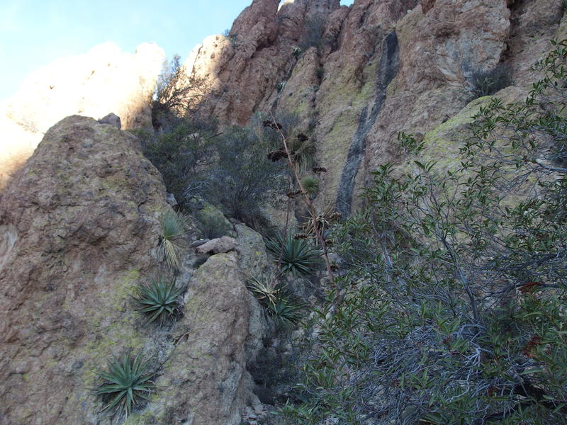
So I was on top of the ridge now. Sort of, anyways. I was above the lower cliffs of the southern ridge of Tortilla Peak, but the ridge itself rose up higher above me. I wouldn't have to climb directly up it, as it heaves up and down a few times before connecting with the peak proper, though the closer I could stick to it the better. I began hiking towards it at an angle and soon found that it was formed of a totally different, more brittle, rock than I had seen so far today. This stuff readily cracked and eroded away to form cave upon cave. Old Spanish gold mine, anyone?
Shattered rocks in a cracking cave
A few caves later and it became apparent that I'd have to find my way up this top ridge after all. The slope that I had been following was starting to sharply drop away from the mountain in a manner that promised tougher times ahead. With hesitation I began to sidle closer to the brittle rock fins and look for a good way up. Not only was I afraid of cliffing out, the ridge had done a great job at blocking a decidedly cold eastern wind up here. Clouds were gathering and that warm morning sun was heavily muted. I had taken my sweater off back at Kane's Spring and was thinking about putting the darn thing back on.
A hellish chute to climb
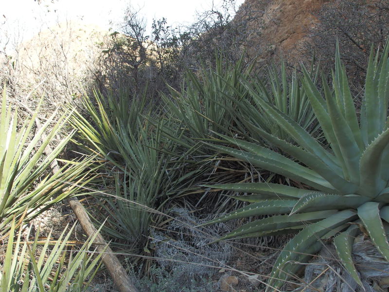
Pain and agony was what I named the crack up the top ridge. Agave grew shoulder to shoulder, too large for me to step over and too close to squeeze between without deep stabs, and beyond the agave was a wall of catclaw. Gritting my teeth I pushed on quickly before common sense could slow me down.
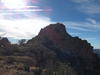
With the ridge fully conquered now it was time to deal with that false summit. For much of the last hour it had hung above me, promising an early end that I knew was hollow, and I was more than ready to see the real peak beyond. Damn it, I had shed a lot of blood this morning, I wanted to see what it was all for!
Yet another loose, overgrown climb
The very tip-top of Tortilla Peak in sight
Swinging to the right along the same route I had plotted back during my rest I weaved in between agave and cacti and finally saw the final approach ahead. There was climb over bedrock and a few patches of vegetation to hack through and then the real, live peak ahead. After so many half-starts in 2016 it didn't seem real that I was about to summit this thing. I forced my tired legs forward and covered the last few hundred yard with a semi-painful lope.
Fun, rugged climb to the top
The final climb was a actual climb, forcing me to wedge up cracks and everything. It was a fun change from most of the mountains in the Superstitions. Both Mound and Malapais Mountain were more rounded hills on top than anything else. Once I reached the top I glanced around quickly, found the peak log, and then collapsed on a flat rock. A decent break was necessary.
As I flipped through the random assortment of pages in the sealed jar I kept looking for Jesse's name, only finding a photo of the original note left back in December 2009. See, Jesse was a Dutchman hunter and spent a lot of time researching and backpacking the Superstitions looking for connections (and possibly gold) left over from bygone days. He went missing, and after years of searching they finally found his remains up here on this mountain. Jesse hiked up here, signed the peak log, and then fell off that southern ridge on the way back down. It made for a grim reminder of just how risky solo trips can be.
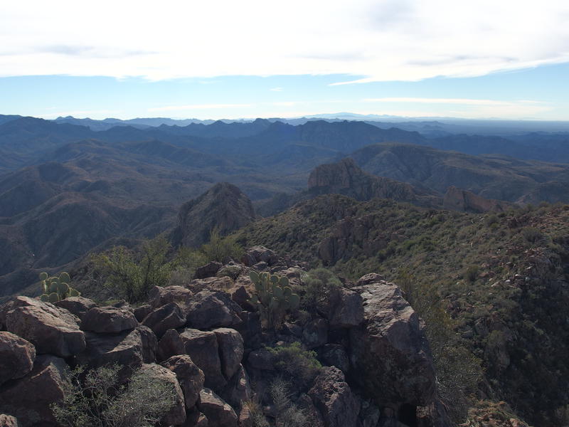
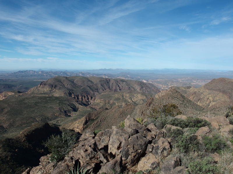
Long view south, back over the route up and lands beyond
During my reverie the clouds had broken overhead and sun now poured down on me. The wind was still strong enough for me to pull a sweatshirt on, being so exposed on the very tip-top here, and when I stood to take some photos I shivered slightly. Being cold was nice. It beat baking up here in hundred-plus temperatures, as one of my more foolhardy plans last summer would have included. Slowly circling I took more photos, noticing with some disdain to 2016 Jacob of just how much lower Malapais Mountain looked from here.
Full length of the Superstition Ridgeline
Looking down on Malapais Mountain

Four Peaks to the north
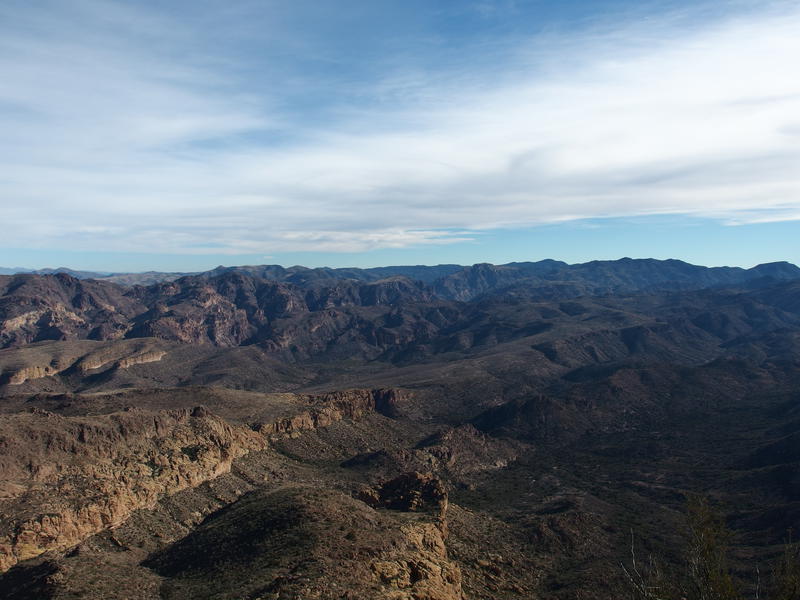
Big view of the eastern Superstitions
Photos done and a few snacks sitting in my stomach I pulled my sweater off and my backpack back on. It was time to get off this mountain. Carefully I replaced the jar for the peak log, my name scrawled proudly next to today's date. According to the log I was the first visitor in over a year and the first solo ascent since Jesse back in 2009. In fact, if it wasn't for numerous search teams, a single piece of small paper could have included all of the people who's been up here in the last decade. I made my way back down the rocky summit and gazed toward Four Peaks with determination. There was an alternate descent for me today, one that would take me far from the route I took up, and it lay to the north.
-
Jacob P Emerick
Feb 26, '19
Hi Jordyn, sorry for the delay. Did you get a chance to try out Tortilla Peak?
Add to this discussion