Negaunee Caving Grounds
Iron played a strong role in the early days of Marquette County. People and businesses sprung up around the iron mines and, when the mines dried up, stayed. When Jackson Mine, the first mine to work the Marquette Range, set up camp on the shores of Teal Lake in the 1840s it didn't take long for the town of Negaunee to grow close around it. When the mine closed in the 1940s the town had a police force, a post office, and plenty of immigrants to create a rich cultural mix.
However, the mine that had created the town soon threatened it. Poor standards and risky practices, combined with the naturally unstable bedrock of the area, left parts of the city prone to cave-in. By the 1950s half of the population was forced to move east, away from the dangerous undermined ground, and the buildings were dismantled. Nowadays most of that land has reopened for recreational use and trails have sprung up for year-round use, mostly in hopes to bring back some luster and fun to the shrinking city. These trails and the remains of Old Towne were what brought me to Negaunee on a warm winter afternoon.
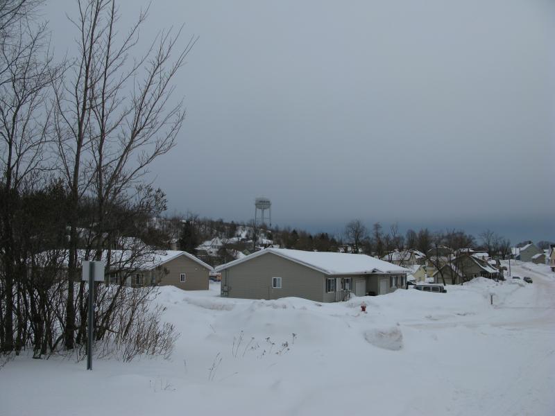
Houses of Negaunee
I left my car at a small parking area off of Snow and Cyr next to a rusty old heap. This wasn't my first time to the Caving Grounds and I kinda-remembered that this would make a good starting point. My main goal today was to get to the twin pits of Jackson Mine, where they first started pulling the ore from the earth, but I wasn't in any rush to get there. I wanted to explore a bit first, check out the recreational trails, and use my snowshoes on an actual snowshoe trail.
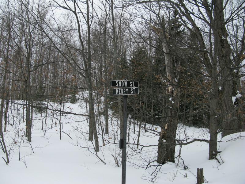
Old road signs in the woods
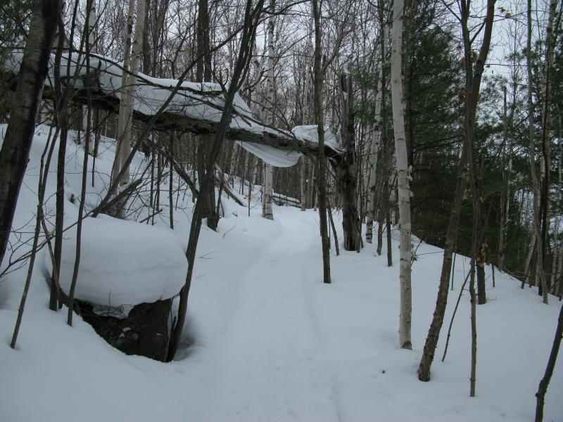
Turning right on the forested corner of Snow and Merry (heh) I soon left the civilized town behind. To one side I could barely make out an old set of cement stairs that led to a long-gone home. Mostly, though, it was just the snow in the woods. My trail was well packed, countless boots and snowshoes and dogs beating down a wide track, though I walked alone today.
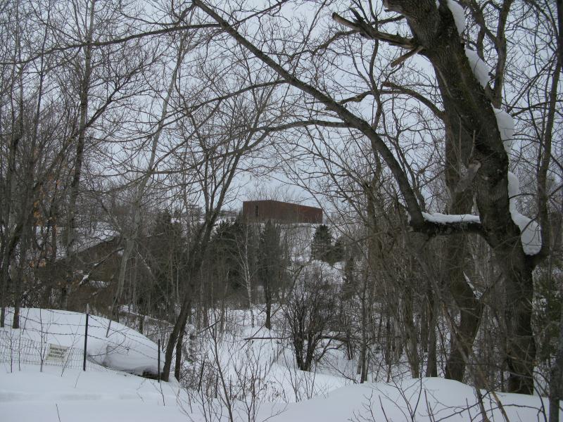
A snow covered stairway leading up
On a previous visit I had climbed up the towering poor rock piles to the north, a long trek that offered decent views of Teal Lake and the city below, though that wasn't something I was interested in today. That was a long walk through deep snow. They were barely visible to my right, across Lily Pond. There is a plain brick building squatting up top. It makes for an nice destination, tall windows and open structure, though the high school hides behind it. That was a bit too awkward for me last time - a long, tough climb through deep snow, huffing and puffing in my heavy gear, just so I could poke my head around the corner of the building and get a bird's eye view of the high school.
Old mining buildings
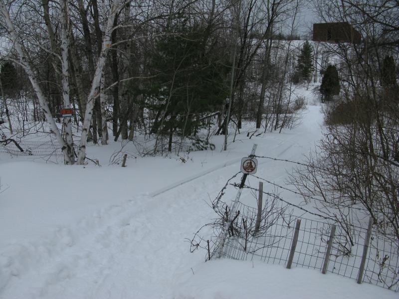
A new path through the fence
When I saw the new path bursting its way to the north I took it, glad to find an easy way around Lily Pond, which had made for a difficult obstacle on past hikes. I still didn't want to climb the poor rock piles, just wanted to walk below them for a bit. The trail I was leading headed west soon enough, following the old Mill Street, wiggling around between the poor rock and swampy shore of Lily Pond. Shrubs covered the sides of the hills, trying to mask the crumbling rock below, though they did little to hide the towering bulk.

Intrusive powerlines cutting the air above
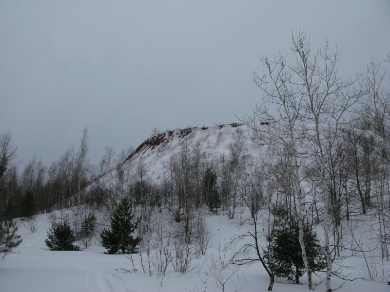
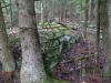
Piles of poor rock
Though I was probably within a mile of the busy US-41 these hills did a fine job of blocking the noise. Down here, on the snowy trail, it was quiet and peaceful. The sun was trying to warm things up through a thick cloud cover, keeping things at a mild 30-ish degrees, and even with the snow I wouldn't have been surprised to hear a few birds chirp, here within the abandoned limits of Negaunee.
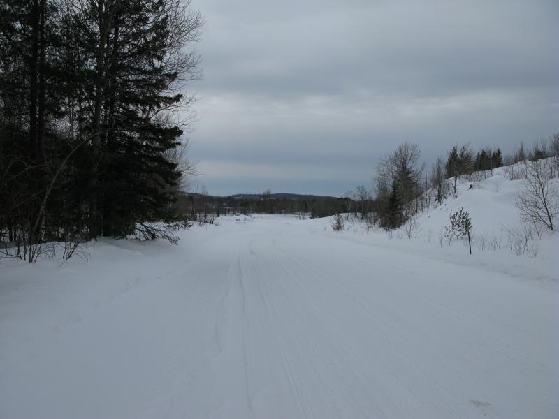
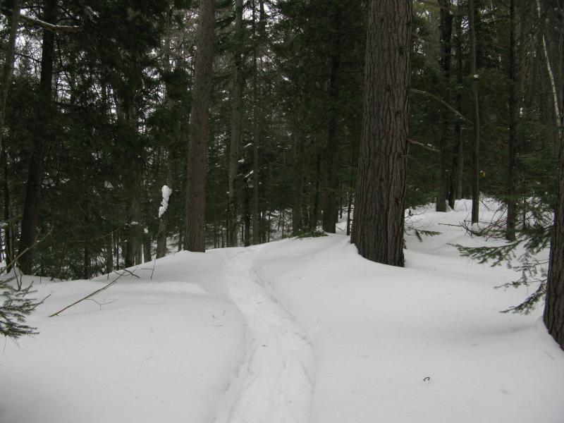
My nice trail was narrowing. When I rounded the western edge of the poor rock I also bumped into one of the major routes, a snowmobile and multi-use track that ran to Ishpeming. Many previous explorers either joined up with this trail or turned around here. A pair of fat tire tracks continued onwards though, beyond the heavy-trafficked route, so I decided to stick with it.
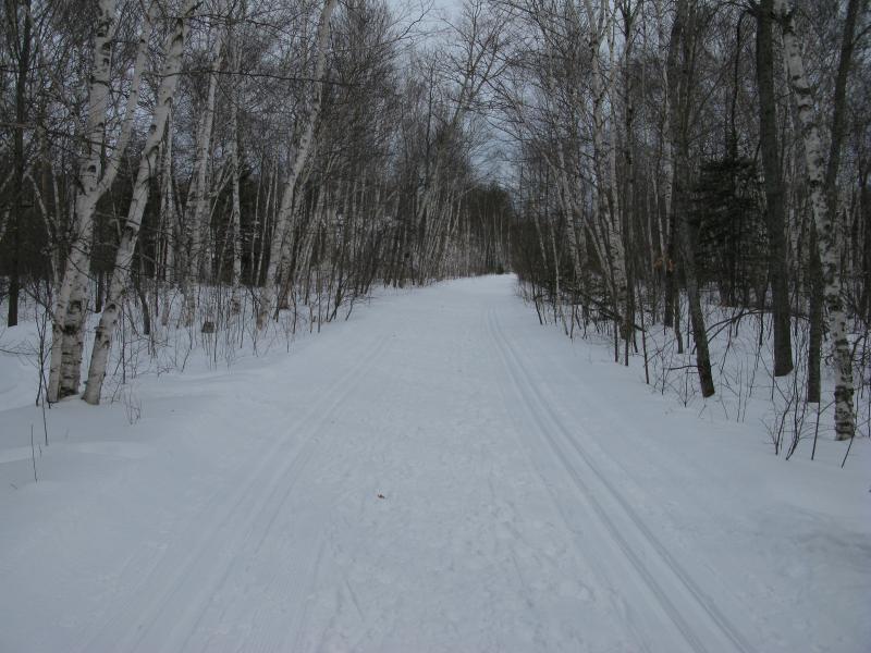
The well-groomed trail
The path ran up alongside the LS&SI tracks for a bit, the same train tracks that I had followed up by Mount Mathew, Trestle Falls, and even connects to the Herman Nestoria line far to the west. As I walked along the tracks, thinking of just how connected all of these places were, a rumbling sound began to shake through the air. A train was coming. I quickly hauled out my camera, getting ready to take a photo of the lumbering red-and-black engine. Just as my finger pressed down the engineer blasted his horn, probably just saying hi to me. I almost fell over backwards. Those things are pretty loud up close.
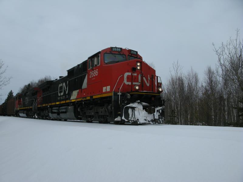
A big train
Once I recovered and the train had passed me by I continued west on the trail. It decided to climb a hill. I reluctantly climbed the hill too. My legs were sore, tired from yesterday's exertions, and I felt every foot of that incline. It wasn't a steep climb, maybe a hundred feet or so tall and gradual enough for a fat-tired bike to get up, yet I still disliked it.
Long, gentle climb
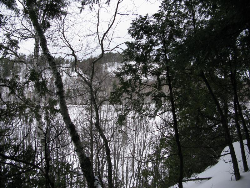
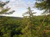
Near the top I began to look around. If I was going to climb something I wanted to see something. Off to the right a small clearing opened up and I jumped off trail, hopeful for a view. And I got it. Teal Lake opened up in front of me, beyond US-41, rocky snow-covered bluffs beckoning me from across the ice. I really wish that I would have tried out Al Quaal this trip.
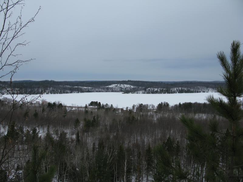
Teal Lake
The western bluffs of Teal Lake
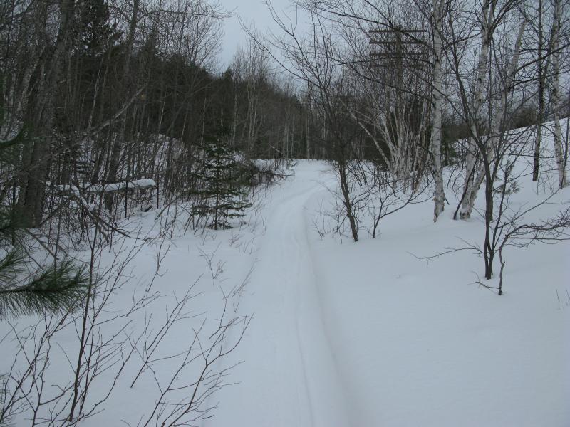
After a rest and some water at the open view I turned and continued down the trail. I was on top of the climb now, merely keeping the gain in elevation, the train tracks some hundred feet or more below me in a deep gorge. The trail was nice, winding around youthful birches and pines, and probably is a rather nice bike ride. It sure was a nice walk. The grooming had packed it down enough that I didn't break through too often and it was just wide enough to be comfortable. If a biker came down the path I'd have to jump off, though no biker came down today.
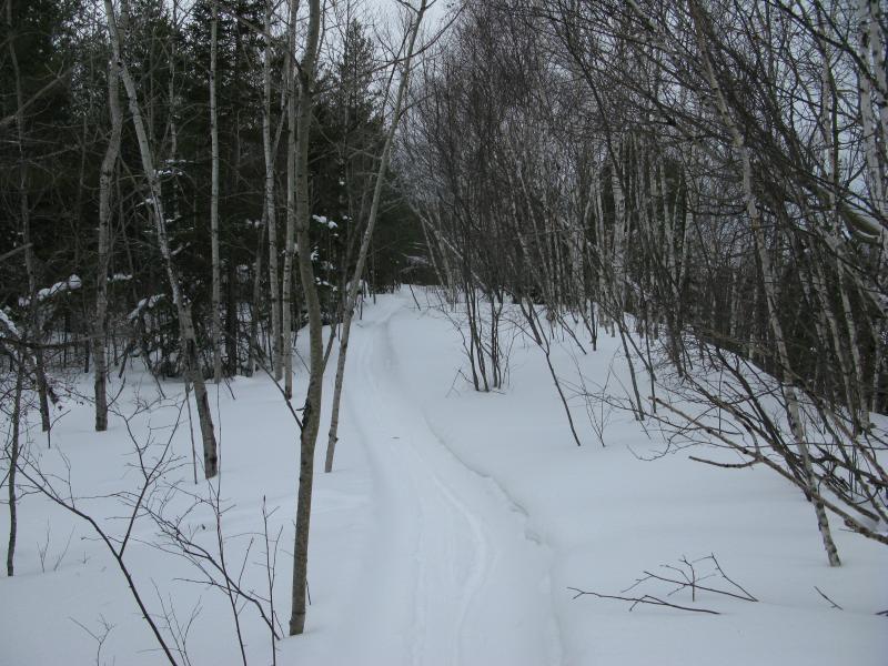
Pleasant winding path
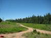
My peaceful walk came to an abrupt end. The path poured down the bluff, swerving to one side, and ended at a road. Malton Road. My crampons screeched loudly on the gravely packed snow even as I tried to stick to the shoulders. I tried to follow the bike tires, blown snow working against my novice tracking skills, and turned south with the road. Maybe the trail picked up to loop back to Old Towne.
On a road, west of the grounds
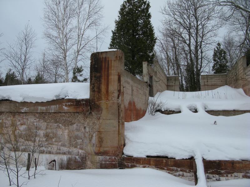
Huge foundations
I found the snowmobile track first, the wide route under power lines that smelled of oil and exhaust. It was better than the road. Plus there were foundation ruins to check out. I'm not sure if they were part of Jackson Mine or another, smaller outfit that sprung up in its shadow. Anyways, it looked cool.
There was a radio tower close by with a long fence running around it. This fence happened to have a trail running along the edge, a trail with bike tracks on it. I followed the trail. There had been some trail markers along my path, a few red-brown signs for a 'Red Earth' and a few green ones for 'snow use only', but they were intermingled. I was pretty far west of Old Towne now and figured that heading east couldn't hurt, so I followed the new path east, not caring if it was red or brown or green.

Tall radio tower
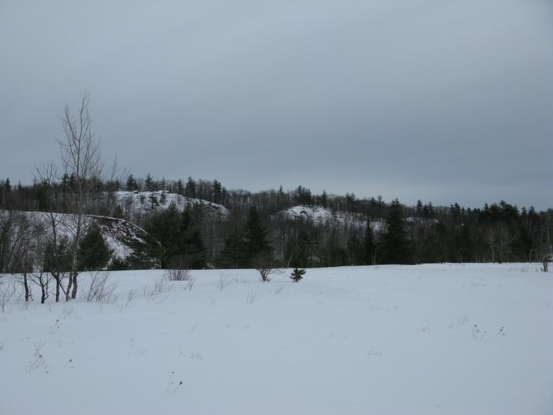
Bluffs in the north
When I left the open field with the radio tower and re-entered the woods I started to get worried that I'd accidentally wander north of Lily Pond again. If I did that I'd be stuck retracing my steps on Mill Road and not see any more of the caving grounds than I already had seen. The trail I was on threatened to swerve north so when I saw a sign for an equestrian trail veer to the right I took it. There were no hoof-prints on this trail, only snowshoes, so I guess I wasn't the only one taking advantage of it.
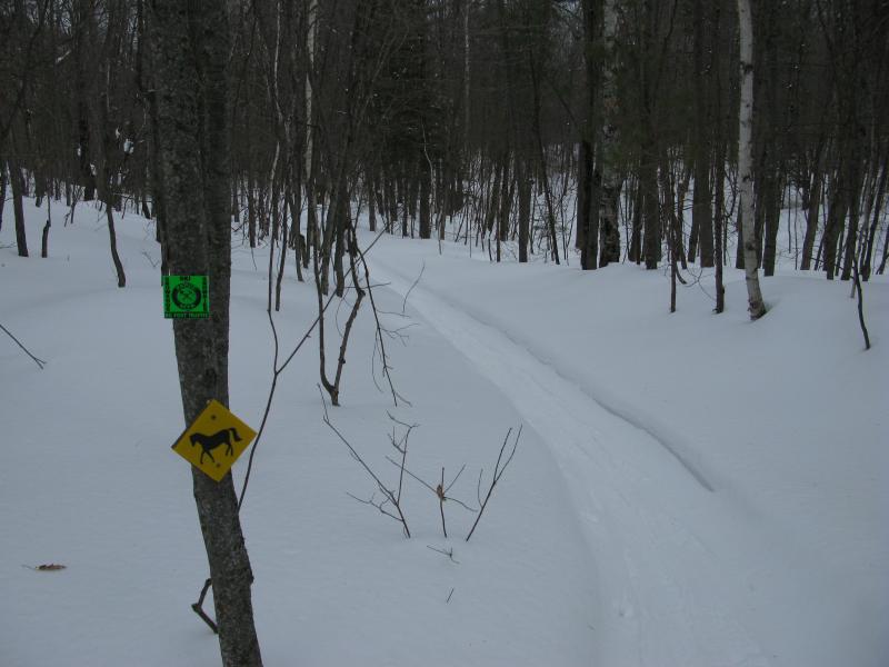
Mixing trail usages
The path winded back and forth and slunk downhill towards Lily Pond, not willing to decide if it would take the north or south shoreline. As I debated what to do a friendly guy on a fat tire bike rode up towards me. We conversed quickly, as he didn't appear to want to stop and chat, and he left before I could find out which way to go. A few minutes behind him came a fellow snowshoer who advised me to follow a small spur ahead. I thanked the friendly old man and pushed forward, reenergized by having a plan.
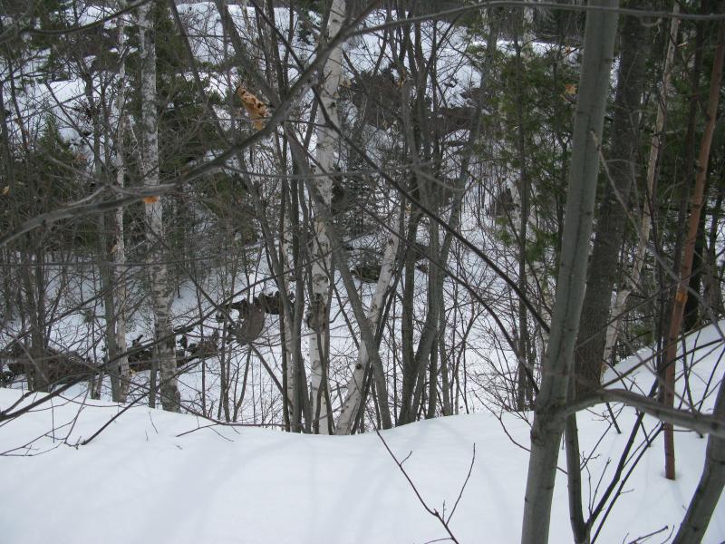
I grew to regret his directions, though. The south shore of the pond was a steep hill, the track over soft snow that ate at my snowshoes, and I labored heavily along the route. There were big trees here, a surprising site this close to town and mines, thick pines that would have made excellent timbers or building materials.
Narrow trail up the rise
Partial view down to the lake
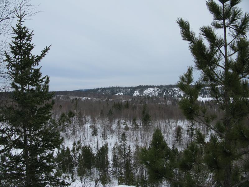
The narrow trail continued to wind and climb, circling around the pines and slowly moving away from the lake. When it finally crested the hill, an open bald spot on top with snow that sunk up to my knees, I flopped down to take a breather. There wasn't much a view up here, a small bare spot void of trees that was surrounded by scrubby growth, though a tiny metal cross poked up from the snow. It was peaceful up here. Well, except for me flopped on the ground puffing for air, that is.
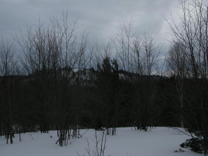
Obstructed view south to more outcroppings
When I finally got back up and tumbled down the rest of the trail I found myself back on a wide multi-use route with a small sign pointed up at the trail I had just come from. Apparently I was on a spur off one of the main trails, though darned if I know where that spur was supposed to come at. I shrugged and turned east, excited to be closer to the old ruins of Negaunee.
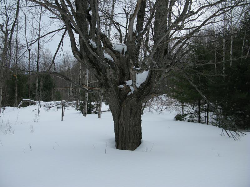
Old tree
Wide multi-use trail
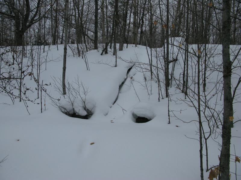
Crossing a culvert with flowing water and passing by some thick swamps I found myself in a very familiar spot. I was between the two main pits. Jackson Mine started with as an open pit, men scooping out rock and dirt to get at the ore, tackling one promising lump after another. A small collection of these pits are clustered together with a wide trail running between them, letting visitors peer down into the yawning pits and stagnant water below. They're rather odd to look into, the fragmented rock cut sharp at the sides. Unlike today's open pits these were drilled out by men, chipped by picks and blasts, and they aimed right for the ore.
Looking down into the yawning mining pits
It's getting hard to look down there, with new trees and brush sprouting around the edges and within the pits. Maybe, in a few more decades, they'll look like natural valleys. Maybe. After the pits Jackson Mine began to go underground with shafts and such, chipping more and more out, leaving some of the underground looking like anthills. It's hard to say if everything has settled or if they'll be a new yawning pit opening up next to these.
East of the pits lay some new exhibits, signs talking about the history of the mine and a few large pieces of machinery. The city has been doing a lot of cool work in this area lately. I ventured around a bit, hampered by the snow, aware of the extra traffic behind me. I had seen maybe four people along the hike until now, a few bikers and one man on snowshoes, and now entire groups of people were tromping back and forth between Negaunee and the pits. It was cool to see people out enjoying the mild weather but I felt out of place, a lone snowshoer with a camera, and I started to edge my way back towards my car.
Along the way I went through Old Towne proper, wanting to take one last look at a few of the ruins. There are some rather huge foundations from a trestle that spanned across an intersection, which must have looked pretty impressive in the once-bustling center of Negaunee, one of the last major features left behind. Oh, and there's a creepy little playground off to the side. That's about all I could make out in the deep snow.
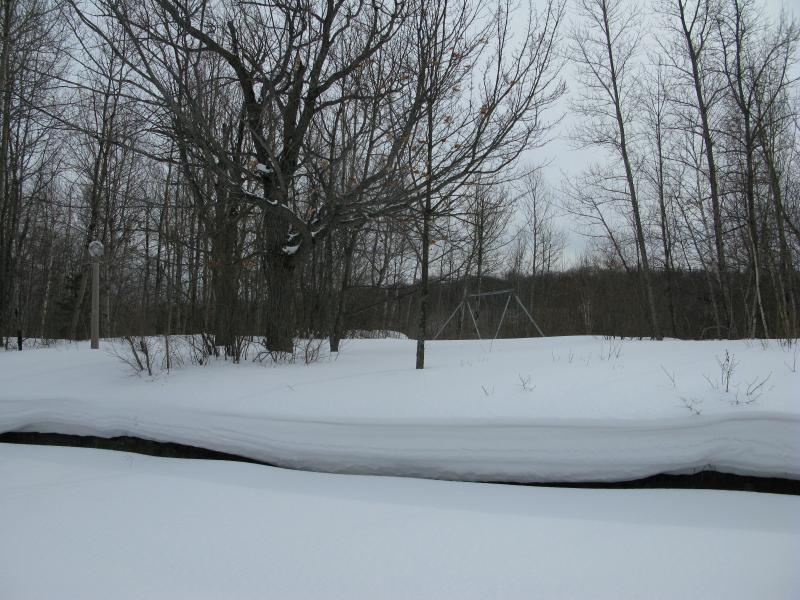
Creepy abandoned playground
When I finally made it back to my car a few hours had passed by. My legs were wooden, stiff from snowshoeing, and I was more than ready for the long drive home. Still, I was glad I had made one last stop here at the caving grounds. I've stopped here a few times and never really made a good solid loop. I do wish that they'd do a better job at marking the trails, or at least publish a good map online, but every time I come back here it seems like there's more work done, a new trail laid out or a small pavilion built, and I can't wait to see what they do next.
-
Jacob P Emerick
Jun 21, '18
Hi Chris, thanks so much for the extra color!
Add to this discussion