McCormick Heights of Marquette
My shoulders cried in relief after I shrugged off my backpack and dumped it into the car. Over the years I've tried to upgrade my gear, aiming for smaller and lighter, yet my pack still feels far too heavy. A new sleeping bag is probably up next, and then maybe a lighter mess kit. Anyways, I was dropping off my gear at the McCormick trailhead after a night on White Deer Lake in preparation for my last hike here. Grabbing a few waters I headed back over the bridge, marching forward to the North Country Trail's fork just on the other side. It was time to follow a new route into the wilderness.

Sign for the North Country Trail split
There's a side story on Rydholm's books about the highpoint of Marquette County. Well after McCormick has purchased the land a group of surveyors discovered that a ridge on the southern edge was the highest spot in the county. He was delighted, often thinking that one of the sudden Huron Mountains would claim that title. The ridge wasn't much, completely forested and not holding a view, yet it was a great feature to include in an already impressive chunk of property. The ridge became known as 'McCormick Heights' in some circles, though I'm not sure how many in Rough Camp made the walk out to it.
Today the highpoint is still held within the protected lands, though it sits within a few dozen yards of the property line. The headwaters of the Dead River sit a short distance to the northeast and Camp Eleven a mile or so to the northwest. Most relevant is the North Country Trail's route. After the trail enters the wilderness area it cuts quickly to the east, away from the main White Deer Lake Trail, and then swings up right next to the highpoint. And so today I headed down the NCT on my way to McCormick Heights.
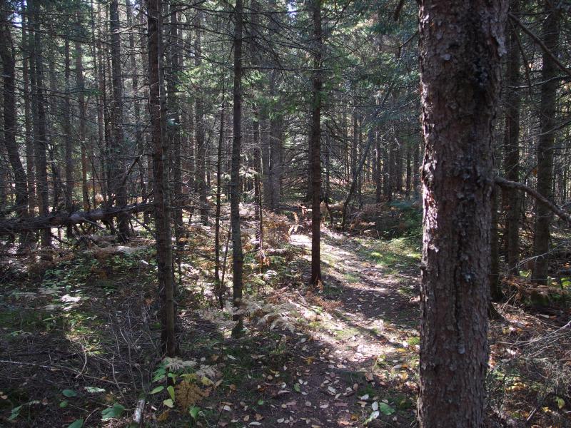
Clear way through the red pines
A red pine forest immediately reared up around the forest and I instictively drew my raw arms away from the edge of the trail. Yesterday's hike around Bulldog Lake had left dozens of bloody scratches from these damn pines. This route was different. The trail was well maintained, footpath deeply scored in the ground, and any intruding branches had been cut back. No scratches for this hike (yet).
I walked through the pine forest, trying to enjoy the smells and winding path and ignore the sharp branches just out of harm's way, and eventually started climbing a leaf-covered hill. This trail is much more rugged than the one to White Deer Lake, which follows a chain of creeks and swamps along an old drive for a mostly level walk. Today I was going to be bouncing up and down several ridgelines, some over a hundred feet in relief, before reaching the highpoint. The changing scenery made up for the extra wear on my tired legs.
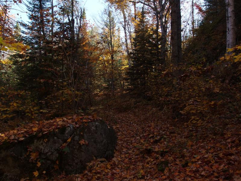
Thick leaves obscuring the path
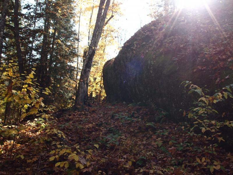
Huge bulk of rock next to the trail
There are a few possible vistas off-trail, bare rock looking south over the land of Hasscib Lake and the Peshekee River. None of them looked too promising. Trees grow tall in this area, much taller than most of the ridgelines, and it'd be hard to get a good view out over this area. Even if you did I don't think you'd see much, just more trees and swamps. As far as I knew most of the impressive views in this wilderness are much farther to the north, looking over Yellow Dog Plains and beyond, and anything here would be greatly limited. I passed by the open areas without detouring.
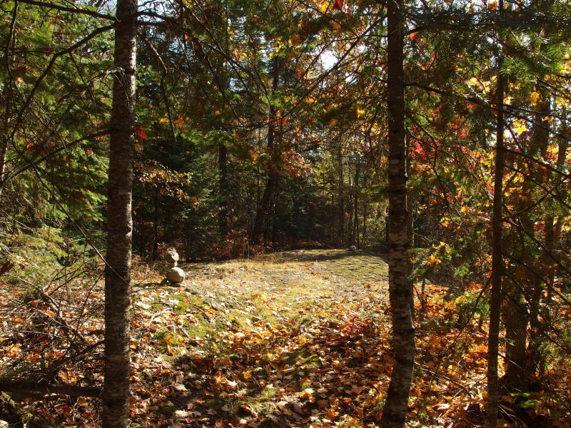
Cairns emerging to show the way
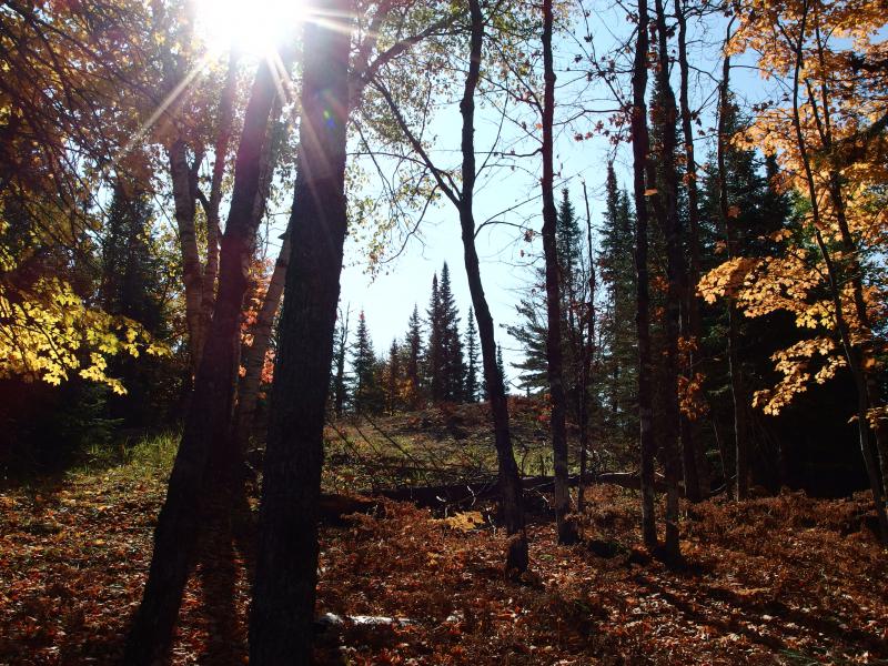
Small clearing just off trail
Leaves began to pile heavier on my trail, masking any sort of footpath that may have been tred into the ground. That's one of the details about the McCormick - no trail markers are allowed. While the path to White Deer Lake is well-traveled and easy to make out it is not marked. Not a single blaze marks the trees along the way. Same thing here on the NCT. Much of the trail across the Upper Peninsula is blazed with blue diamonds, but not here. Here I had only the footpath to go on, and the footpath was starting to disappear.
There were a few cairns that helped with some tricky spots, as well as some obvious signs (cut branches, cleared way, vegetation poking through), but it was still tough. I began to mentally remember cues and how strong they looked, backtracking a few times to a 'strong' trail sign when things petered out. This trail is probably much easier to follow in the summer. While I know people who come out here to clear sections of it I don't think it gets enough traffic for a safe winter passage. One would be wandering blind through the snow drifts off of GPS routes or something.
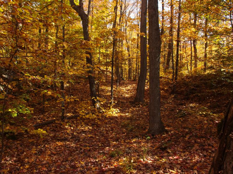
Bright colors overhead
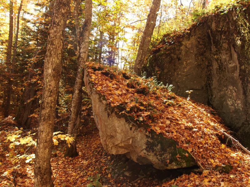
Broken hunk of wall
As I neared the halfway point I noticed something different. White pines were showing up. Giant white pines, trees that had to be over a hundred years old. This had to be old growth. There wasn't much, just a few scattered here and there, but they were quite impressive. I'm not sure if they were runts left behind by the loggers or protected by Bentley and McCormick's incremental land purchases. Either way it was nice to walk through this wild land under the ancient giants.
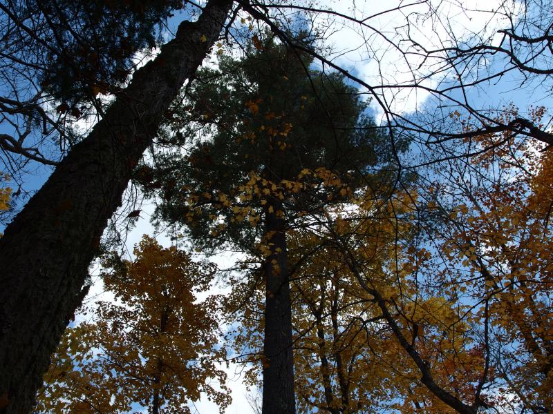
Towering white pines above

Easy trail ahead
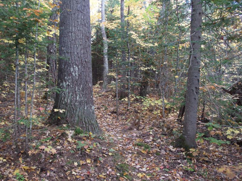
Giants along the way
Distracted by the giant pines I found myself in the vicinity of the highpoint. That was a fast ninety minute walk. The trail had climbed up one steep hill and was now slowly circling around a sudden ridge that rose maybe thirty feet above the forest floor. This had to be it.
I circled with the trail, looking for an obvious route up the ridge. It's not that the ridge looked hard to climb (just another rocky hill). I was hoping for a quick trail up straight to the very tip, where I assumed a log book would be. No trail presented itself. I cut off the NCT, heading up the hill, and found myself on the top of the ridge.
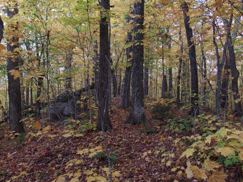
Ridge holding the county's highpoint
It was difficult to determine where the highest spot was. Land fell away on both sides like a pouring water, but the ridge felt pretty level going from northwest to southeast. I walked the length in one direction, than the other, looking for a flag or a cairn or some marking. Nothing. Confused I stopped and leaned against a boulder. I didn't have GPS coordinates, and even if I did the error measurement may be too great for me to find the 'exact' spot. Was this boulder it? Then I saw a pile of rocks against the foot of a tree. Jackpot.
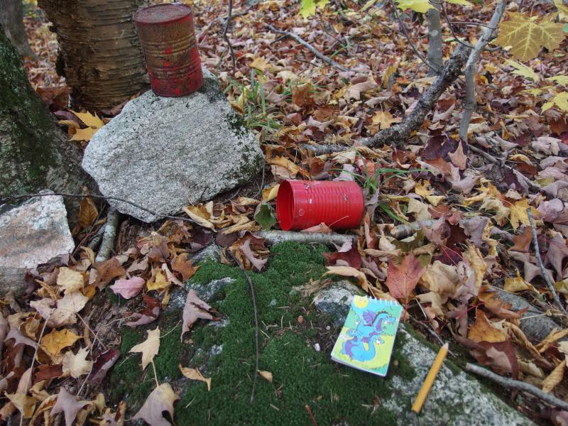
Logbook next to the tree
Inside the tin cans and a few plastic bags was a dragon notebook with dozens of notes scribbled inside. Dates, names, funny musings were all packed in there. I flipped through it quickly, surprised at how many visitors this little ridge had seen, before penciling in my own name. Highpoint achieved.
Now I had to get back. Following the NCT back to the trailhead seemed far too mundane. I briefly considered a jog out to Lake Raymond or Circle Lake (Dead River Headwater) and instead decided to just head west. I'd get to cross Camp Eleven Creek and bump into the main White Deer Lake Trail right where Baraga Lake Trail cuts off.
I headed down the ridge, crossed the NCT, and headed west with a hint of north. I didn't want to run into the creek on one of its many swampier sections. It wasn't swamp I had to be afraid of, though. Within ten minutes I was back in the middle of a red pine forest, this time without a path to push back the scratchy arms. Awesome.
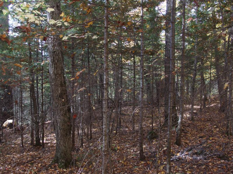
Into a red pine hell
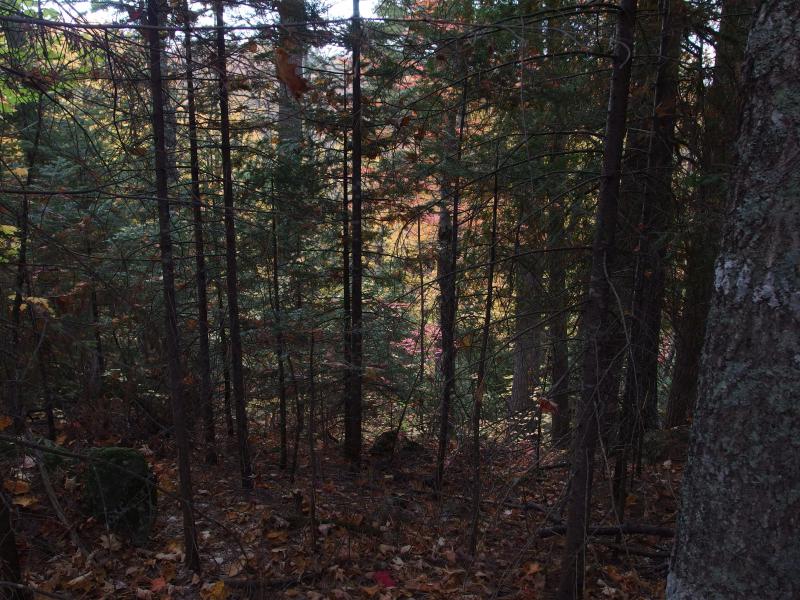
Deep valley beyond the thick trees
Like a bad case of deja vu I ducked and weaved, circling around and pushing through the worst of it, slicing open my arms with fresh red marks. Red pine forests are great. As I walked I noticed the land to my left dropping away suddenly, a deep valley that didn't really show up on my maps. The ridge I was on must be more prominent than I thought. Then the land to my right dropped away, and in front of me too, and I was forced to head down a steep, rocky cliff to continue west.
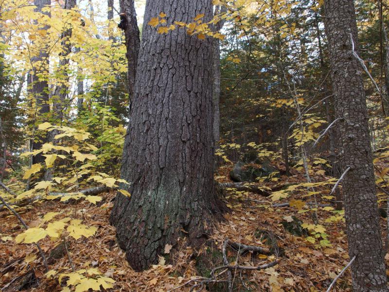
Huge trunk balanced on the slope

Massive pines surrounded by little trees
As I dropped the ridge I passed by some truly massive white pines. I had seen a few on my hike around Bulldog, yet nothing like this. These things were all over back here. If one was randomly wandering through the highlands back here they'd probably see even more, scattered throughout the hard-to-reach areas. It makes sense. Loggers had an easy job near White Deer and Bulldog Lakes. Cut the tree, drag it to the lake, then float it down the Yellow Dog (not that getting logs over all the falls was easy, that is). Back here they would have to drag it for miles over hills and swamps before reaching a waterway large enough to handle it.
A hill brought me back up out of the small valley for a short time before falling away at the edge of Camp Eleven Creek. Which was barely a creek. Choked by boulders and leaves I could barely even hear a trickle of water deep below. The creek bed was wide, and things didn't seem that dry today. Most of the swamps and marshy areas I had run into were quite sodden. This creek was just that small.
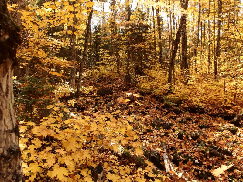
Trickling, leaf-covered outlet from Section 11
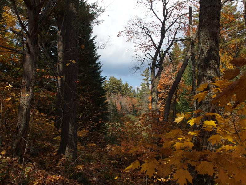
Looking up the swampy creek
Elated on having avoided the swamps along the creek I quickly pushed forward, through small bowl and along the rim of a hill, and crashed right into a wall of tag alders. This, this was unexpected. I knew there was a small creek over here, one that is barely noticeable and not marked on maps, but tag alders? These things are the worst. Knowing that the trail had to be less than a hundred yards away I hacked my way through the tangled stems, leaning and fighting over the uncertain ground below.
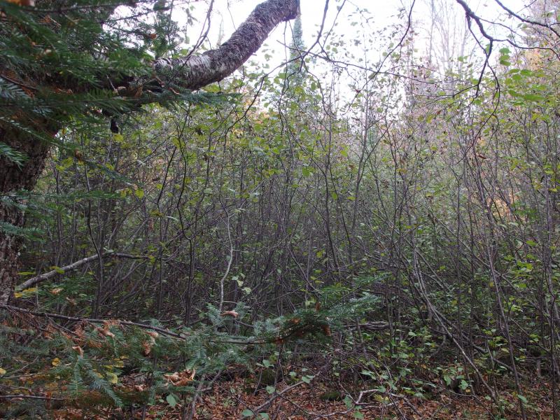
Wall of tag alders blocking the trail
Beyond the alders was a short walk through easy woods and the trail. I made it just in time, too. While the walk to the highpoint had been under a hot morning sun I now saw clouds rolling in. As I passed the trail to Baraga Lakes a few rain drops splattered down through the bare autumn branches, reminding me of the coming afternoon storms.
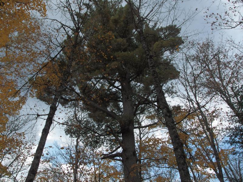
Ominous skies above the tree tops
And that was it. Fifteen minutes later I was back at my car, rehydrating and preparing for the bouncy drive down the Peshekee Grade. I was leaving the Upper Peninsula for good. There were other hikes that I had imagined ending with, a return to Bald Mountain where I first fell in love with the Hurons or an ambitious (and illegal) climb up Mount Ives for unparalleled views of the Club lands. A weekend on the McCormick wasn't a bad way to leave things. I do hope to return next year for a week-long adventure (though I'll be a father of two by then), or maybe in a few decades for retirement, but for the foreseeable future this is it. Good-bye, Michigan.


-
Jacob Emerick
Nov 13, '14
I hope to, Dave. Once things settle down, that is. Hope I'm able to tell a good story, even if its not about our beloved UP.
Add to this discussion-
Jacob Emerick
Nov 13, '14
Thanks RB - I may just hit you up for that contact information. I've been sticking to trails so far and could use some good rambling around through cacti and snakes.That's too bad about not being able to make it up there this fall, sir. Between the high waters and strong lake that beach would probably look very different by now. However, watching Lake Superior churn far in the distance while looking down from a mountain, thunder-booms echoing up from the shore... Dang, that sounds awesome.
Add to this discussion-
Jacob Emerick
Nov 13, '14
Howdy nailhed! Yeah, the ban is cool, though I've cursed that decision when I'm blundering through the woods hoping to find a trail, legs worn and trembly and night falling. Not as if that's ever happened...Never been bothered by red pines, eh? Yeah, the tag alders and briars are tough, but the red pines are my mortal enemy. Maybe we should have met up some time so I could take you through a few groves. In short-sleeves and flip-flops, of course, standard hiking gear ;)
-
nailhed
Nov 13, '14
LOL!well perhaps we may yet meet someday.
Add to this discussion