McCormick Tract
Located north of Champion, the McCormick Tract is a 16,850 acre wilderness in the Peshekee Grade. Originally owned by Cyrus McCormick, inventor of the reaping machine, the land was donated to the USDA Forest Service in 1967 and is now available for the public to enjoy. In July of 2009 I visited the south west corner of the tract along a historic route to the old camp on White Deer Lake.
Starting from the Peshekee Grade, which follows the old Iron Range & Huron Bay railroad grade from Champion up to Mount Arvon, I parked at the access area with some fellow hikers. The small parking spot had a restroom as well as some informational signs and maps. There is no trail markers allowed on the McCormick Tract, so it was nice to get a short refresher from these maps. After crossing the bridge over the Peshekee River, we followed a well-worn path northeast towards White Deer Lake.
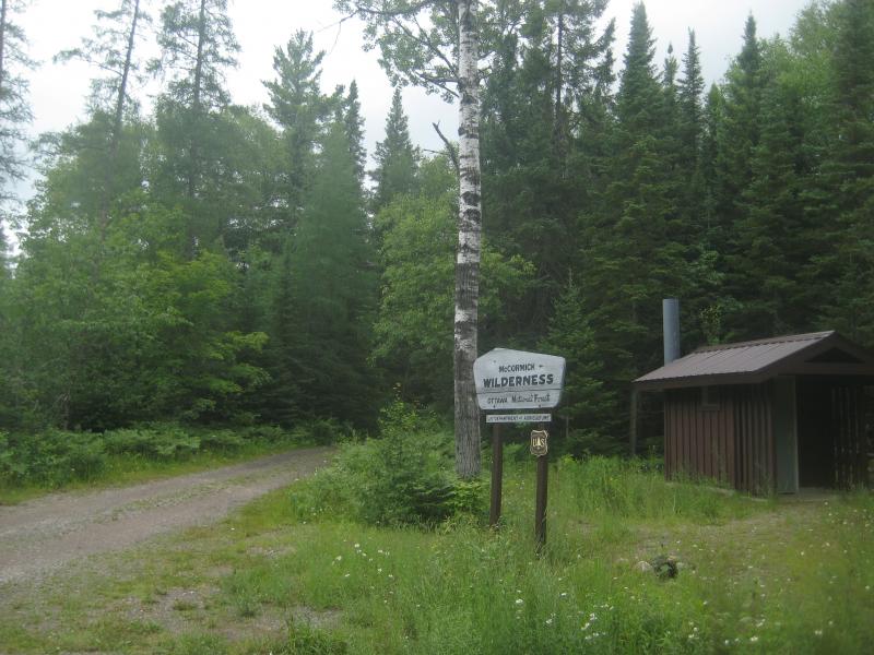
Trailhead sign for the trail
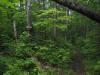
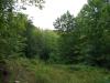
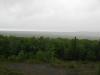
While the trail was easy to follow, the rain-covered, thick undergrowth soon had us soaked. For the first mile or two, the trail was surrounded by tall grass and bushes and little old growth. Most of the trip seemed uphill with swamps surrounding us and the cutter flies were relentless. There were a few stark cliffs to our right that looked appealing to climb, as the trails offered little to no sweeping views of the area. After two miles, though, the trail opened up and we saw a few old growths.
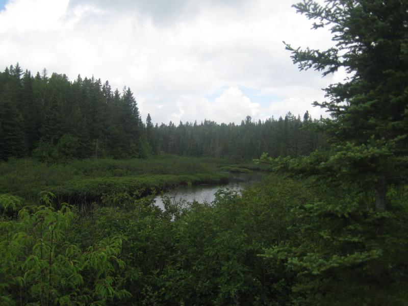
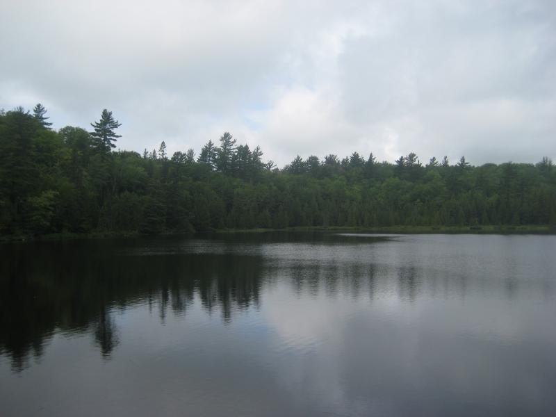
View of the Peshekee River
White Deer Lake snuck up on us. While we could see a clearing ahead through the trees, it was hard to determine if we were coming up to another swamp or the actual lake. Once we started passing old rock and concrete foundations, though, it was obvious that we had reached the lake. There wasn't much left of the mighty camp - just concrete floorings and a few pilings in the lake.
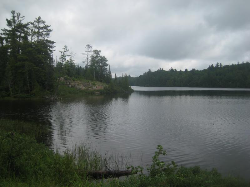
White Deer Lake Island
The island lake looked quite perfect that afternoon. A stone foundation raised up off the southern shore marked the location of the main cabin. The wind had picked up a slight ripple in the water, and a few birds sat peacefully in the lake. After a few minutes to take in the view, we headed down west along the shoreline to visit Bulldog Lake to the north.
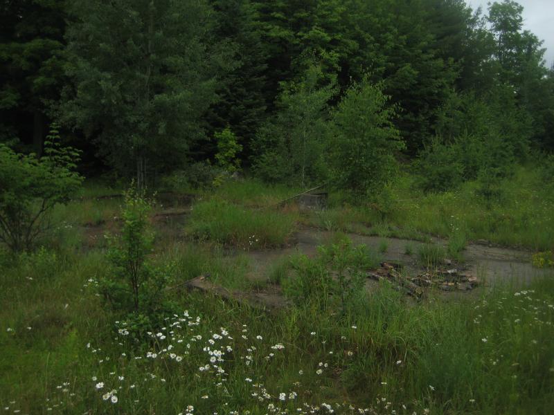
Foundations of the long gone houses
After passing a few more foundations along a trail we found ourselves bushwhacking through thick, wet swamp. We turned around after a quarter mile, soaked, and cut straight back to the main trail. The walk back was silent in disappointment, as we had all hoped to see Bulldog Lake and the dam where the Yellow Dog River began. Still in the hopes of mixing up the trip, we headed off the trail about a half mile from the Peshekee River, making a beeline to the North Country Trail, but were unable to pick it up in the thick undergrowth. Defeated again, we headed back to the parking lot.
White Deer Lake
There was several trails that branched off of the one we followed. One heads north to Baraga Lakes while the others we checked ended at campsites within easy walk of the main trail. If the North Country Trail could be picked out of the undergrowth, then you could find the tallest point in Marquette County and the Dead River Headwaters. The only other easy trail in the McCormick Tract is located far to the north off the Triple A and leads to two waterfalls, West Branch Yellow Dog and Bulldog Falls. If you do plan a trip to this area, though, I'd recommend a good GPS and staying away from wet summer afternoons.

-
Jacob Emerick
Oct 28, '12
Hi Laura! Ah yes, I discovered that site after this visit, it has a lot of solid information about the history of the tract. Loved the historic photos sections, gives you a great insight of how different the area is and how much they loved the land.
Add to this discussion-
Jacob Emerick
Aug 17, '14
Hi Scott, yes, I've heard of people getting canoes back there. Upper/Lower Baraga Lakes wouldn't be hard to get to, though the real treasure is White Deer/Bulldog, which is a three-mile walk (and they don't like wheels on the trails, so you'd be carrying the whole way.As for coordinates, this site has a lot of valuable information: Foye's McCormick Site. If you need more information (I have a few old maps collected over the years, etc) I can also send you stuff directly - just let me know!Happy hiking (and/or canoeing)!
Add to this discussion