Mazatzal Peak Loop: Behind Mazatzal Peak
Time slipped away as I relaxed near the junction of Y-Bar and Mazatzal Divide Trails. There were a few things to take care of - change to dry socks, eat some breakfast snacks, filter that dirty water I had collected from a spring - so it wasn't a complete break, just a pause from hiking. A well deserved pause. I had just climbed close to 3000' from Barnhardt Trailhead and was well over an hour ahead of schedule. All I had to do now was follow the Divide Trail a few miles to the north, more down than uphill, before the next big challenge of the day showed up.
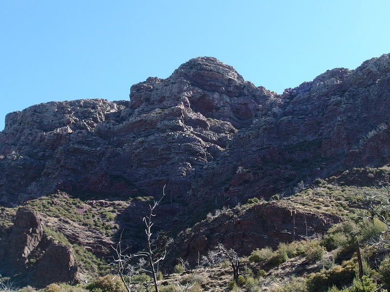
Towering cliffs of crumbly rock up on Mazatzal Peak
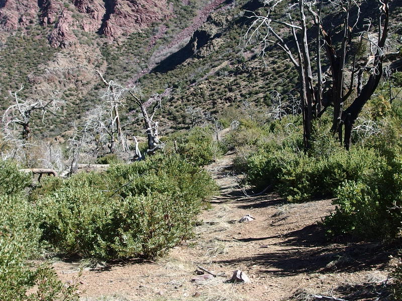
An easy trail to follow downhill
Forty minutes was long enough before my anxious feet were ready to go. I set out along the trail under the impressive cliffs of Mazatzal Peak, half-trotting along the wide and easy path on an easy descent. I was glad to get going and leave the views of the burned-out Y-Bar Basin behind, though I was still walking between charred ruins of Pinyon Pines. Now there was only waist-high manzanitas that did little to block me from the hot sun above. As far as I could tell it'd be a long time before I found another cluster of trees that had been spared from the Willow Fire of 2004.
Started by lightening, the Willow Fire burned up 120,000 acres over the course of a month and even got within a few miles of Payson. Much of the burn area was within the Mazatzal Wilderness, which explains all of the charred stumps and half-repaired trail system. There have been other fires up here, little ones that burn a few acres before being snuffed out, but the Willow Fire was the primary destroyer. Before that fire this wilderness had been relatively lush with tall Ponderosas and twisted Pinyons, and now it was all stumps and manzanitas and the only an occasional stand.
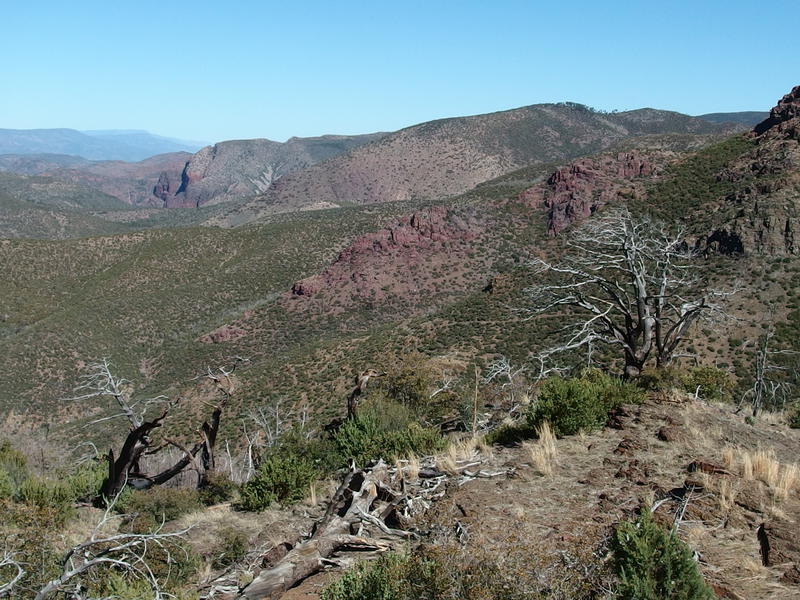
A long looping path to the saddle
As I headed down the path I glanced north and got a good view of the trail's long, looping route. It followed the curve of the mountain in, sucking close to the steepness of Mazatzal Peak, before heading back west and ascending a minor ridge. A few hundred feet of climb at most. It was easy to make out even over the miles of distance, something that gave me confidence about the condition of it. I've heard bad things about overgrown trails out here and had a bad experience on Davenport a few weeks earlier; however, everything today was clear and easy so far. Maybe the Eastern Mazatzals saw more maintenance than I planned for.
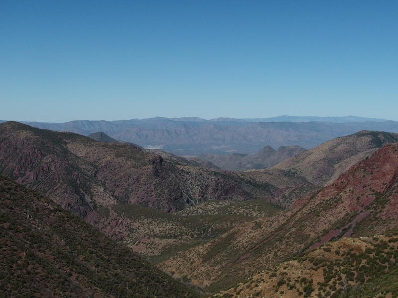
A long view west to Table Mountain and Horseshoe Basin beyond
The other view that began to open up was the long one west, one that I immediately recognized. I was almost looking down the Davenport valley… almost. A few things were a bit off. There was a v-shaped view between two huge mountains gave me a narrow view of a long, straight shot down to the general Horseshoe Basin area, north of where I had just done the Club Cabin overnight a few weeks ago. It looked more like the narrow view along Deadman Creek than Davenport, though I couldn't quite tell for sure. A few miles along this trail and maybe things would make more sense.
Speaking of this trail - it was hot. There was little to no wind so close under Mazatzal Peak, protected by the scoop of the valley and tucked under the towering cliffs, and the sun beat down with a surprising furor. I did my best to ignore it. I had two liters of water, more than enough to last me until Chilson Camp some four or so miles away, as long as I didn't dawdle or sip it away. I pushed quickly down the trail, taking advantage of the downhill grade and doing my best to ignore the encroaching vegetation coming up.
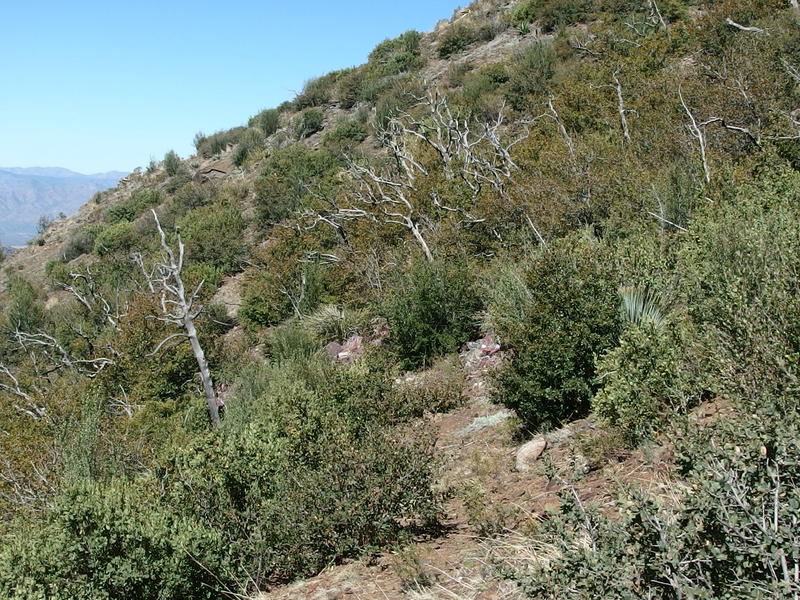
Trail getting a bit overgrown
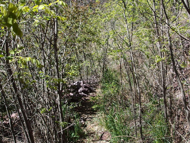
A tight, prickly squeeze
The vegetation did not ignore me. Soon I was rubbing elbows with crowded growth, which wouldn't have been so bad if everything out here didn't have thrones or spikes that clung into my long-sleeved shirt and stabbed and scratched at me. Cussing like a sailor I pushed through the thicket and made it back into a clear stretch, bleeding from a half-dozen tiny wounds. None were serious, though all would sting as I continued to sweat under the hot sunlight. This hike was steadily getting more and more painful with each passing mile. I looked back with longing at the Y-Bar Saddle, back where there were pools of water and a good breeze and several logs to lounge upon.
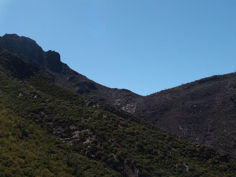
A longing look back towards Y-Bar junction
After the thick thorny patch of trail it swung back out and began a steady climb. I pushed on and was surprised to bump into a pack of women coming from the north. They were doing a three-day backpack and had strong words about the poor condition of Barnhardt Trail. I told them about the clear spring along Y-Bar before we parted ways, them heading down and along the base of Mazatzal Peak and me pushing uphill to the saddle ahead.
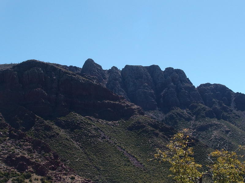
An always impressive view of Mazatzal Peak's cliffs
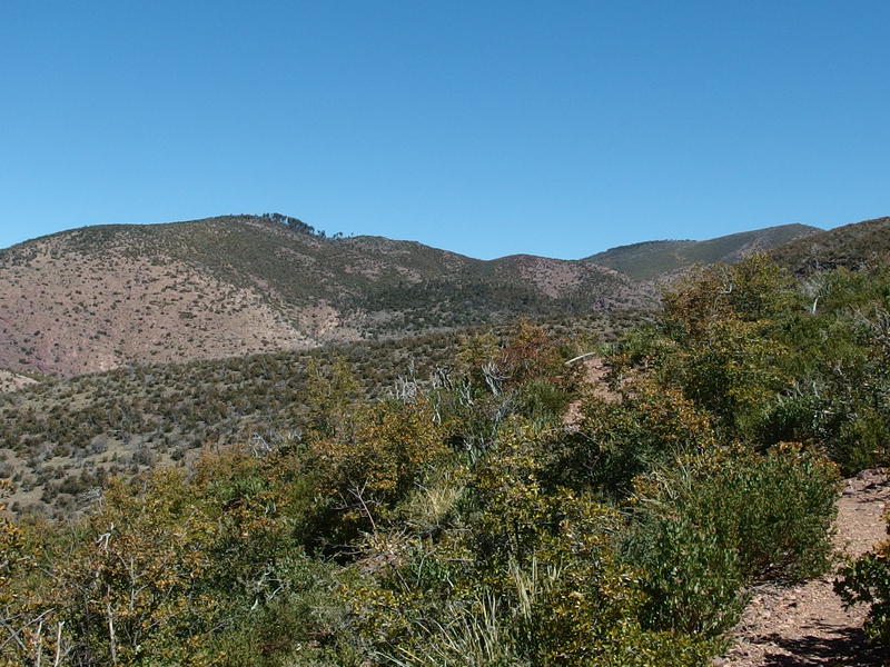
Some barren hills around Barnhardt junction
How far I had come compared to the cliffs of the Peak was impressive. They soared up behind me, seemingly far to the southeast, when they had been looming above me for so long. Now, instead of towering cliffs of rock piled high to look forward to there were barren rolling hills. I had hoped for more. There was no place to rest on the saddle and I really needed a water break, so I pushed on quickly until I found a flat rock along the trail some fifty yards further.
I didn't want to stop for long, though time found a way to sneak past. Worried about how much I was sweating under the hot, dry sun I added some electrolytes to my water before drinking. I also munched on a snack and eyed up my route ahead. That huge ugly hill, the one that looked more dirt than grass or rock, was right along the way. Chilson Camp sits on the bottom right of the hill and Davenport Trail was supposed to run a line along the base of it. I couldn't make out any trail. I should have been able to, over this short distance and a direct view, yet nothing was there. Not a great sign.
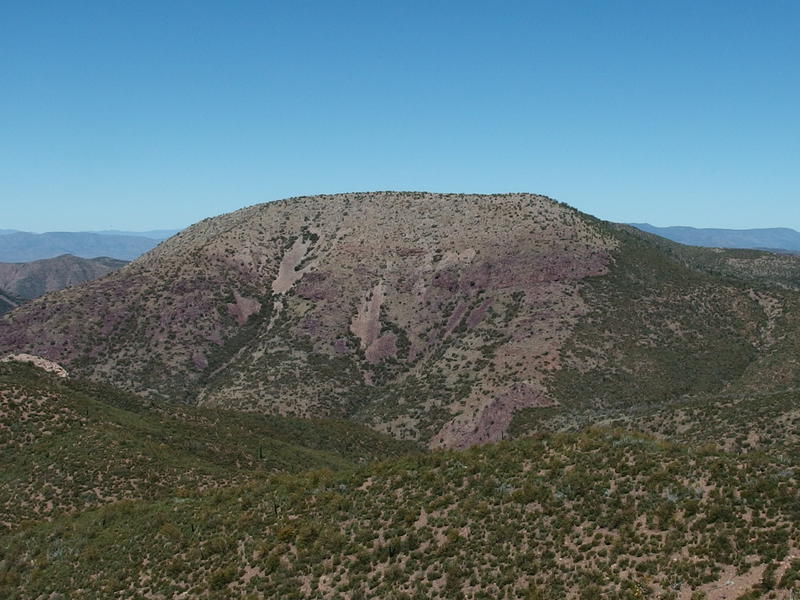
The unnamed hill west of Chilson
After polishing off that liter of fortified water I creaked back up and pushed forward. The trail was better here, manzanitas and other prickly things cut back by trail crews, and it maintained a steady downhill. Oh, I was disappointed to not see any sort of sign or fork at the Brody Seep Trail, which is supposed to branch off here and provide a shortcut to Chilson Camp. Other than that there was just the easy trail all the way to the Barnhardt Trail junction.
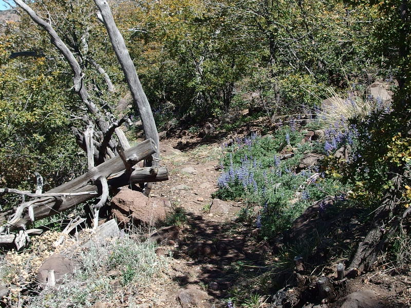
Some flowers along the trail
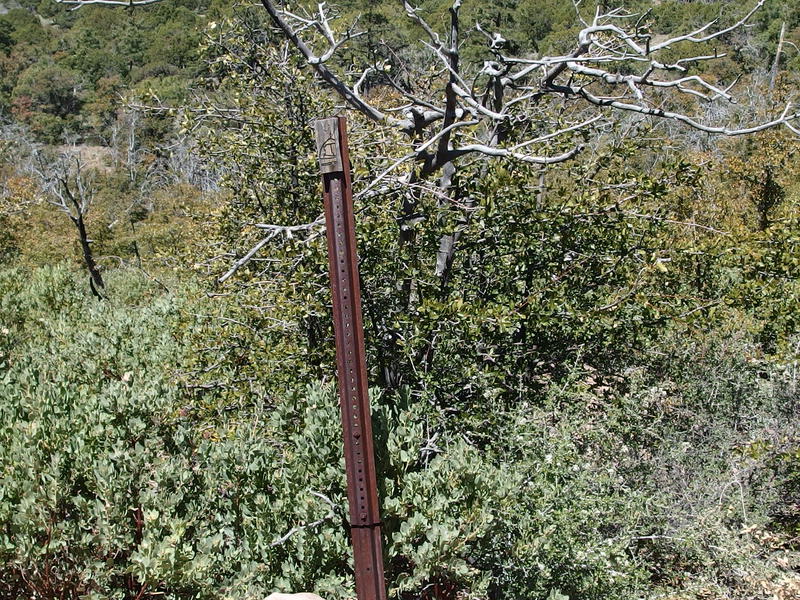
The only sign near Barnhardt Trail junction
Marked by only a metal stake and an AZT symbol, the Barnhardt junction was not that impressive. The manzanitas were taller here, I guess. I looked around a bit, trying to get a feel for the area. This was my first bail option, a quick and easy descent that goes straight back to the parking area. I could be back in the car and in Phoenix before dinner if I turned now. As hot as it was getting this option did not sound even remotely tempting. Instead I pushed forward on the Divide Trail and got a pleasant surprise. Instead of fire-damaged trees and shrubby recovery growth there was a stand of Pinyons with a fantastic campsite right along the trail.
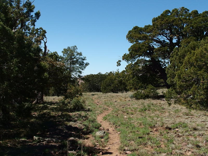
An easy, pleasant path beyond Barnhardt
This was now the third great camping spot I had bumped into today. When I eventually haul Chris up here I'll have to remember these locations - this one in particular would be perfect for a Friday after-work start. If we could climb up from the parking lot before it got too deep in the night, that is. That pack of women from earlier today had mentioned this campsite and also a nearby Bear Spring, which was not marked on my map. I kept a close eye out for the promised deep, sandy pools, which showed about a half-mile further on the trail.
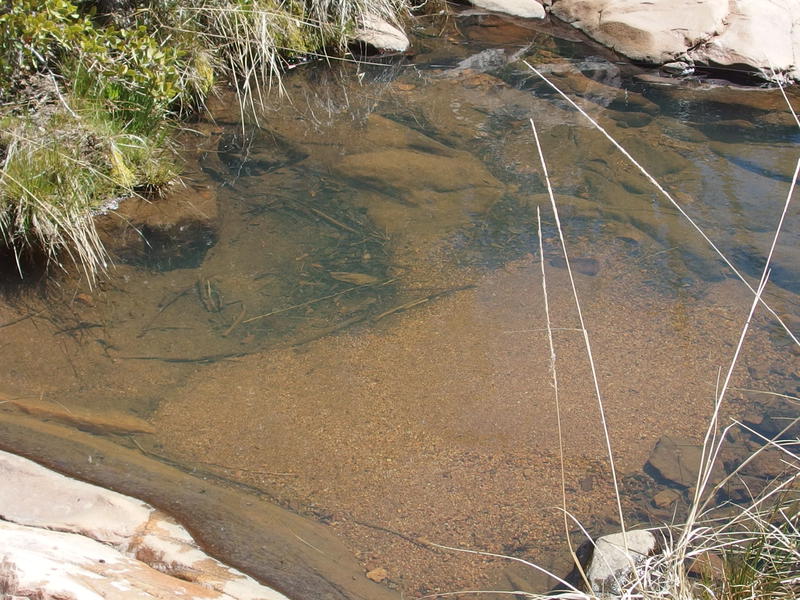
Deep, sandy pools near Bear Spring
I tumbled down into the wash and found a good spot to drop my pack next to the deep pools. This was great water, no green algea competing and hardly any bugs swimming around, and I ended up pulling several liters from it. I didn't want to rest that long, not with Chilson Camp so close, so as soon as I had a full belly of water and was back up to a full capacity I hopped back up to the trail and continued on.
Speaking of water - very few people hike the Davenport Trail. Bear Spring, and Chilson Spring coming up soon, were some of my last confirmed water sources before Club Cabin. There was a mention of pools in Deadman Creek from a triplog and that was it. So there was a chance I'd have to hike six miles on a tough trail with only three liters, all under the hot afternoon sun. Not something I was looking forward to.
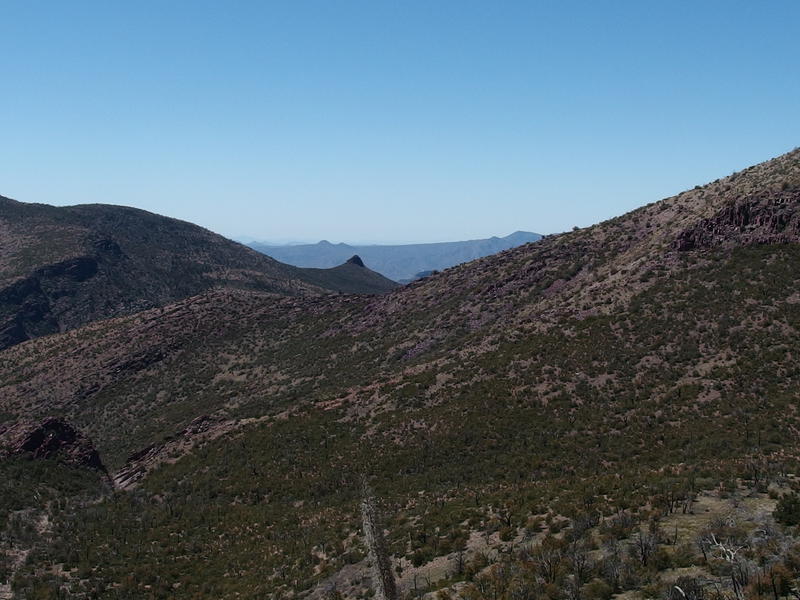
Tiny spur on top of Club Cabin
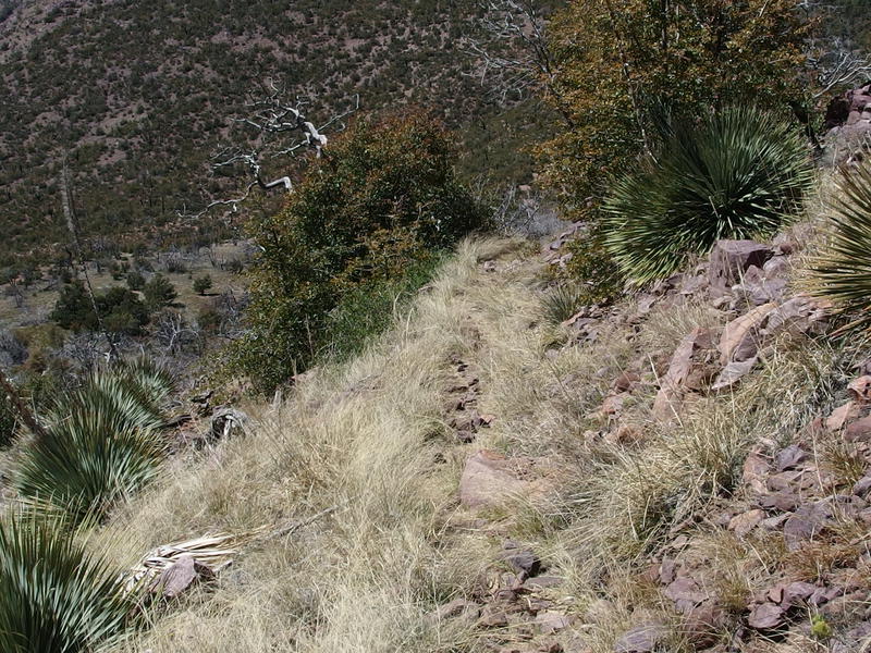
Grassy, rocky trail down
The Divide Trail got interesting as it curved and descended from the Barnhardt junction, becoming more rocky and grassy and dropping quickly. I kept my eye out for Chilson Spring and didn't see anything. I thought it sat right next to the trail and would be easy to find, a metal drum sunk in the ground with water filtering through it, but there was nothing there. Before I knew it I bumped into another trail junction, this one with the northern end of Brody Trail, and turned down it towards Chilson Camp.
I wasn't sure what to expect here. This camp sits near the junction of a few trails and is clearly marked on most maps with nearby water. Brody Trail heads south from here, meeting back with the Divide Trail a few miles away (though where it meets I wasn't able to see), and Davenport Trail heads west. I walked under tall trees, through another area that had been spared from the fire, and kept my eyes peeled for trail signs or cairns or anything. Instead all I found was a nice clearing, half-rotten table, large firepit, and one huge water cache.
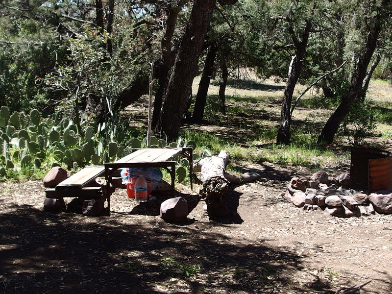
Chilson camp, with table and water cache
Ignoring the water bottles I pushed on past the table and firepit, eager to see if there was anything else. On the south side was a hitching post and empty water trough, obviously broken, with a great view of Mazatzal Peak. I had heard that this is a good place to camp and watch the evening sun play on that peak, just hadn't expected it to be aligned this well. One thing I did not see over here was Brody Trail. There were no cairns, no path or trodden grass, to show where that trail was supposed to continue on. That wasn't a good sign.
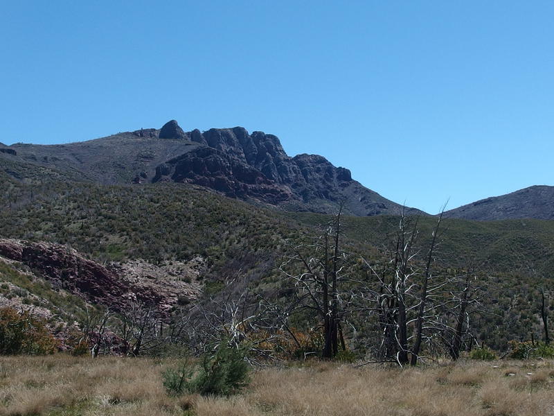
An excellent view back at Mazatzal Peak
Worried I doubled back, swooping to the west, looking for any evidence of Davenport Trail. After one pass I pulled out my GPS with the route loaded up and tried to track it that way. Nothing. The manzanitas clogged up everything and forced me to make wide, avoiding loops, constantly wandering on and off the plotted route. Downed trees began to show up as I left the camp and forced me to clamber over or make even wider loops. I stepped in one, then two nests of angry ants on my cross-country route and did a little dance to shake them off. After thirty minutes of this I checked in on my progress. Less than a quarter mile from Chilson Camp. If the path didn't improve I'd make it to Club Cabin around midnight. I doubled back and returned to the half-rotten table.
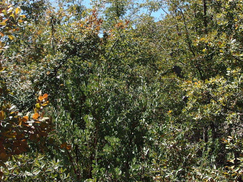
A thick wall of brush blocking the way to Davenport
Sure, I had expected Davenport to be a challenge. But this? This was closer to insanity. So far today had been rather enjoyable, if getting a bit toasty, and bushwhacking all the way to Club Cabin seemed like a great way to ruin an otherwise fun outing. Plus, as I changed out my socks while resting, I found that I had developed a huge blister on my right Achilles would be a real problem soon. If I hiked all the way to Club Cabin and decided to bail tomorrow I'd have a hell of a time coming back up here. I drank my water, let my feet breath, and tried to figure out where to go next.


Comments (0)