Indian Head to Mosquito Beach
My legs dangled off the edge of Grand Portal Point, the ice and water of Lake Superior some two hundred feet below my feet. I relished the thrill of danger that coursed through me as I sat on the gritty rock. It had taken me all morning and more to reach the point, hiking through puddles and snow drifts, and was so worth the effort. The views of the cliffs and lake of Pictured Rocks were ridiculously awesome.
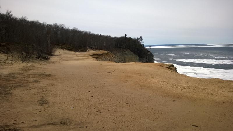
Beach of Grand Portal Point
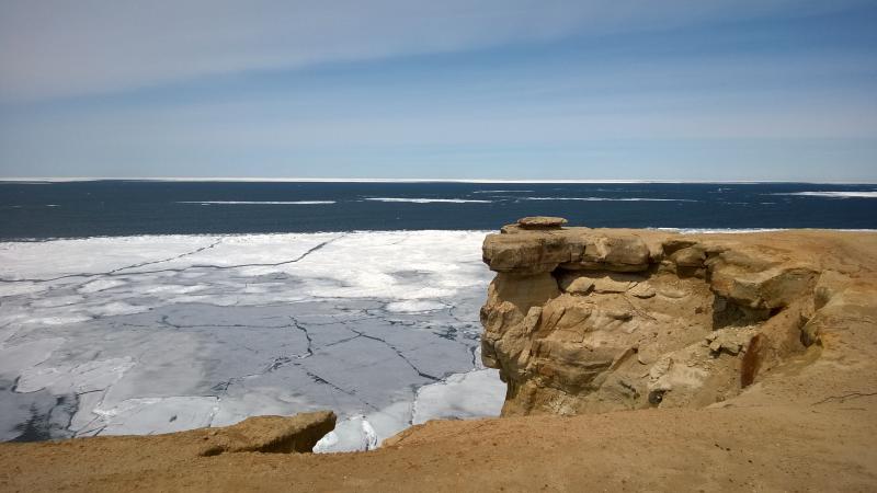
Cracked rocks high above the cracked ice
There was another one of those uplifted beaches here, just like at Spray Falls, a stretch of flat sand and rock void of brush awkwardly shoved high above the water. When I finally got up to continue on the loop the sand crunched loud under my boots. My route continued west, across the beach, towards Mosquito Beach in the distance. It was time to start climbing down, time to follow the edge of the cliffs as they slunk back down to lake level.
The woods were relatively clear when I reentered them. It could have been the exposure from the elevation or the westward slant of the cliffs - whatever it was, I was thankful. The trails were dry and easy to follow. Maybe the hard stuff was behind me now, the rest of my hike an easy stroll that would take me a few mere hours.
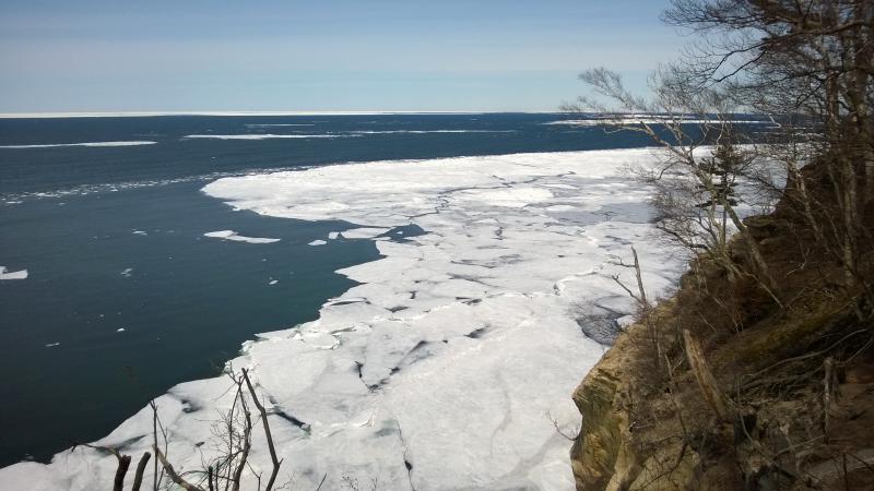
Open water close to the cliffs
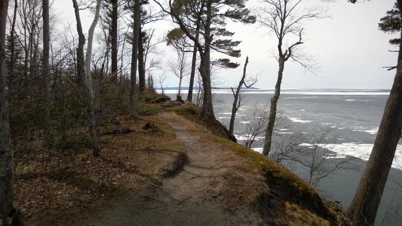
Pleasant little trail
As I neared Indian Head, the next point west of Grand Portal, the lake swooped in towards me. Ice had covered most of the water during my hike so far, especially in the bay near Chapel Beach, reaching at least a mile out from shore. Here at the point the water was achingly close, barely holding on to the rocky shore. A good wind and this section could be ice free within a few hours. Todays eastern breeze was just enough to make the trees whisper.
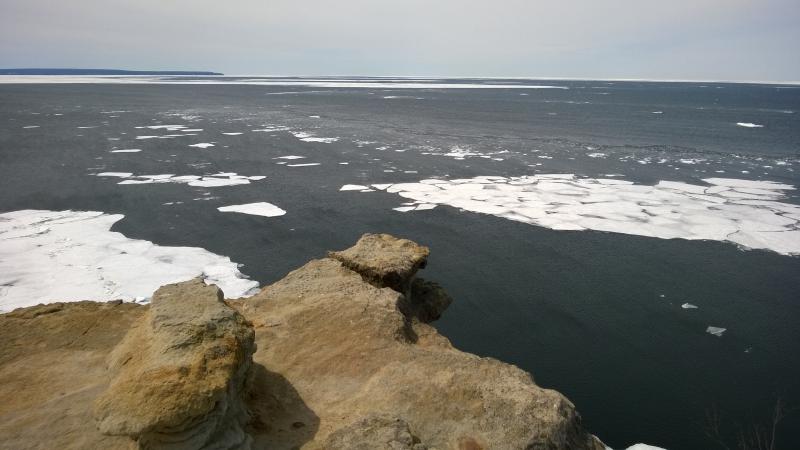
Open water out towards Grand Island
I also noticed Grand Island in the west. It had been visible for some time now, even from the now-distant Spray Falls, though I wasn't entirely sure if the low dark line was the island or the Marquette shoreline. From this point I could see some of the ice build-up on the cliffs still, little shocks of white against the dark. Marquette was too far away to see beyond Grand Island.
Indian Head also gave me my first good look at the rest of this leg. It didn't look great. Trees and brush clustered close to the cliff edge, probably blocking most views, and hints of snow peeked out through the trunks. The forest was young and thick enough to keep a decent amount of cold and snow locked away. Looks like I'll be wearing my snowshoes for most of it. Besides the snow and woods the cliffs were, as I suspected, slowly marching downwards. From here to the next point they probably lose two-thirds of their height.
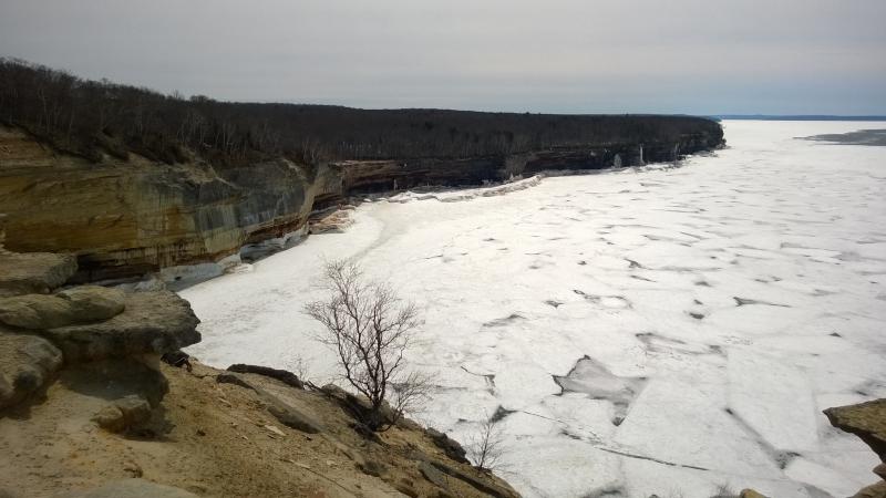
Long stretch towards Mosquito Beach
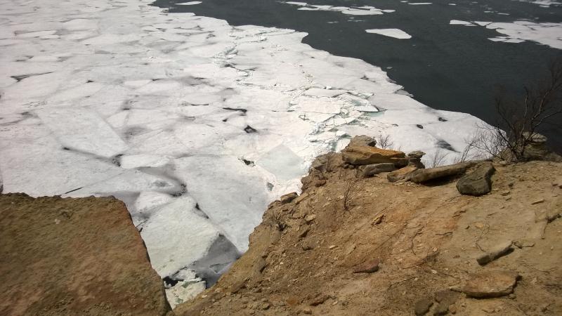
Down the crumbling rock
I dallied on the bare rock of Indian Head. The ice was doing interesting things below, piling up near the water's edge, quietly moaning and creaking as tiny waves lapped against it. To my left there was a huge overbite in the cliffs, a grand arch that yawned wide, with dust and rocks laying below as evidence of recent erosion. Both the rocks and the ice were wearing thin in this weather, giving way as the long winter slowly melted away.
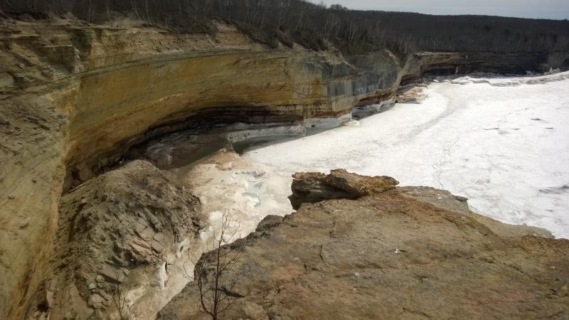
Another scary overbite
Pushing myself forward I set out on the route. The woods quickly closed around me as I left the open point, On top of the arching bite wasn't bad - the trail kept close to the shore and was mostly dry - but as soon as I reached the far end the snow showed up. It was mere patches at first, a few deep steps between stretches of open (and usually water-covered) paths, not worth strapping on shoes. When I made it to another uplifted beach, complete with a view back to Indian Head, I knew that my time for easy walking would soon be over.
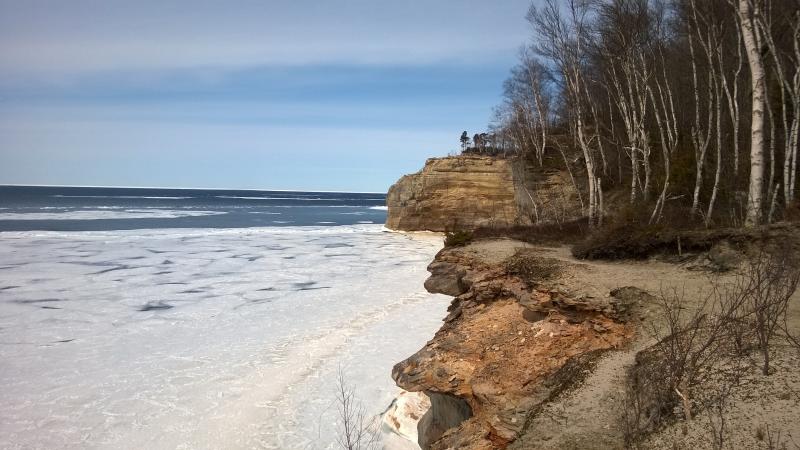
Quickly losing elevation
The trademark shape of Indian Head was obvious from here, a silhoutte low on the cliff. The top seemed different, though. I thought that the cliff was straight up and down from the water's edge, but it seemed more curved, like the top fifty feet had crumbled away recently. Eh, I'm not too familiar with the features of Pictured Rocks and could be imaginging it.
I left the beach behind and entered a sloppy mix of trails. The day's warm temperatures had wrecked havoc on the snow pack, leaving mud and frothy water where a trail once was. It was easier to step around on the snow at times, which was soft enough off-trail for me to sink in several inches even in snowshoes. It was slow going. I tried to content myself with thinking of the view from Indian Head. The shoreline made a large swoop out for what seemed like miles. Maybe this was the last swoop and Mosquito Beach was right on the other side.
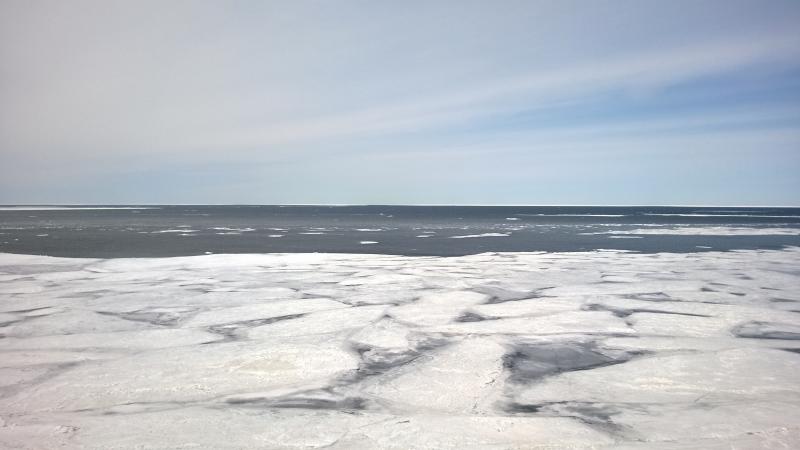
Pancake ice over Lake Superior
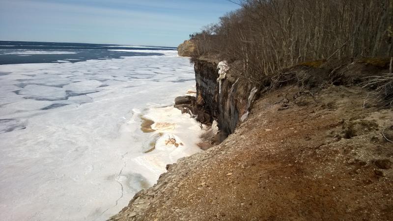
Grubby little cliff edge
When the forest and trail opened up enough for me to look around I realized that I was still a long ways from the beach. To the right, barely visible beyond the curve of the shore. was Indian Head. To the left was several big swoops of land. I tried to guess where I was based off of my basic map. There was some forest bending down in the second swoop, possibly showing the existance of a beach, and that could be Lover's Leap ahead. So, a swoop and a half? I'm not sure how many miles that is but it sounded okay.
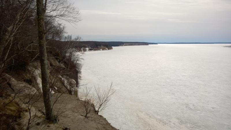
More cliffs and coves ahead
I was getting slightly concerned. It was four already, which happened to be the time I estimated to be back in my car heading over to Miner's Castle. My granola bars and most of my water was gone and, to be honest, I was tired. Tired of snowshoeing and tired of wet feet. The hike had been fun, the views of the Chapel area and Grand Portal Point amazing, but now I just wanted to get back. Apparently the trail conditions were going to try to slow me as much as possible.
There was only one feasible way back. I pushed forward along the nasty trail, through slush and water. A few more views opened up as I entered the first shallow swoop, showing the ice hanging out over the cliffs and the arch ahead. Maybe I'd get a good view of Lover's Leap that would make this leg of the hike a bit more palatable.
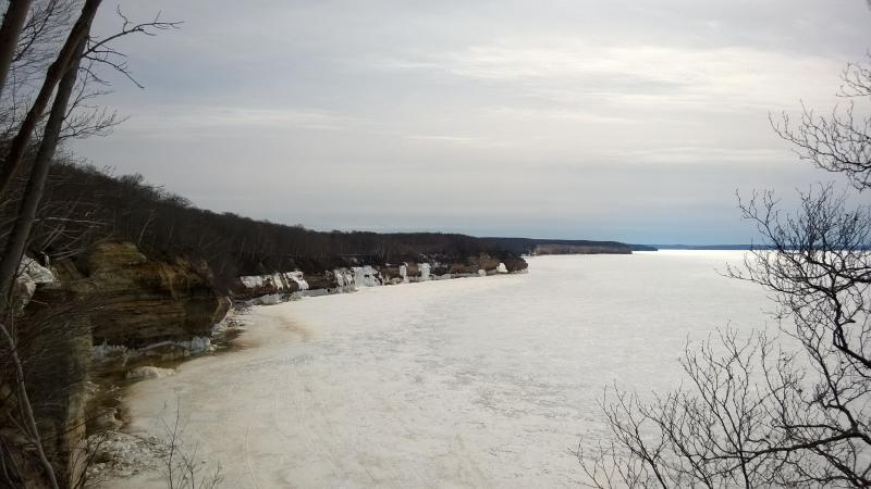
Distant Lovers Leap
As if sensing my frustration the trail began to open up. Dry stretches showed up, the snow and water retreating into the woods, and I took off the shoes and stretched my legs. It's easy to forget how wonderful it is to just walk without shuffling or fear of breaking through soft snow.
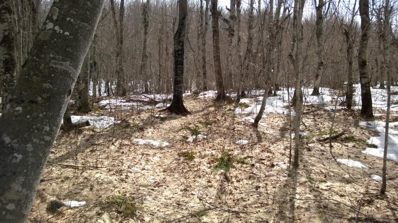
A rare dry section of trail
The break was sweet yet short. Soon the trees and snow crowded around me again, slowing my progress to an unsteady crawl. Head down I trodded forward, trying to stay on the packed snow of the trail and avoid sinking in too deep. After twenty minutes of this I noticed something I hadn't seen all day: fresh footprints. Someone else had been out here, maybe even today. They weren't wearing snowshoes, though. The poor hiker left deep bootprints in the soft snow.
So someone had come out here from the Mosquito area and attempted to hike the shoreline trail in the opposite direction as me. They had given up east of Lover's Leap, turned around and backtracked along the path, and they had not had fun. Many of the prints had water in the bottom, some a foot deep. I got a renewed burst of energy. Maybe this hiker was still out here, plowing through the soft snow ahead, trying to get back to their vehicle. If I could catch up to them we could share the snowshoes, switching off every couple hundred yards, as well as share some tales of the area.
It was a nice distraction from the hike. No more views opened up. I passed the arch without knowing it, thick woods all but hiding Lake Superior and the cliffs, and the trail began to switch from deep snow to dry with frustrating frequency. I took my shoes on and off more than a half-dozen times between Indian Head and Mosquito Beach, losing time in an attempt to ease the passage.
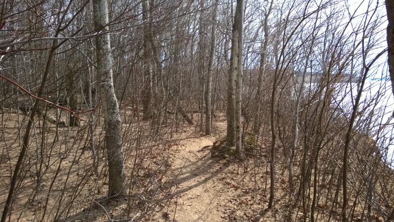
Low trees and brush
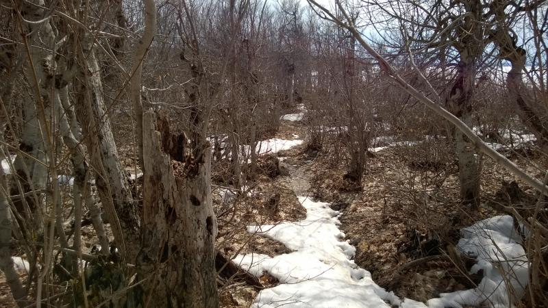
Odd broken up woods near the beach
The woods transitioned quickly to some odd, gnarly low-growth. It looked like there had been a fire here in the last few decades. Or maybe this is one of the spots where crashing winter waves coats the woods with ice, weighing and twisting the branches into odd formations. This section of woods wasn't big but it was rather off, a weird little spot along the trail.
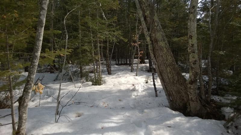
Dark woods above
Beyond the twisted forest the trail suddenly dipped down and entered thick pines. This, this was enough. The snow was deep and unwelcoming. I could see the other hiker's brave path ahead, sinking feet into the slush, and did not want to follow. Standing on the edge of the pine forest I wondered if this was the start of Mosquito Beach, if I could just cut out to Lake Superior and save myself from the tough trail ahead.


Comments (0)