Gateway Loop on McDowell
Noah and I pulled into the well maintained parking lot a bit frazzled. It had been a long drive to get here, longer than he was used to, and the little guy was rearing to get out. We were north of Scottsdale and almost a full hour away from our house. I hoped it would be worth the drive. Today was our first venture into the McDowell Range proper (ignoring my adventure to Tom's Thumb several months ago) and the first time we'd be hiking with my mother-in-law, Sandy.
Gateway Mountain and trail
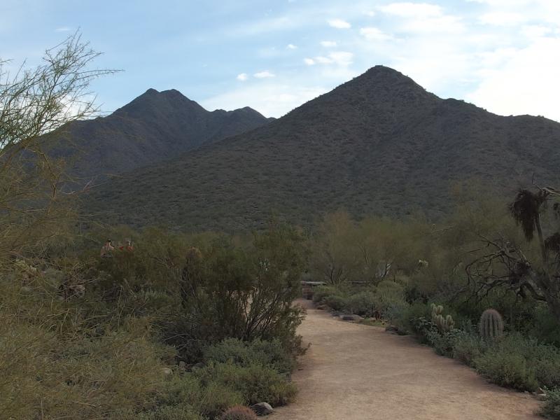
I plopped Noah into the carrier and we hurried up to the trailhead where Chris and Sandy were waiting for us. There was a brief introduction filled with happy toddler noises and we were heading down the trail. It was well-maintained with prickly plants pushed far back for walkers. The four of us ambled forward and tried to find the right pace that fit our little group.
The path would have been perfect for Noah to roam on, wide and smooth gravel surrounded by brush. I kept him in the carrier. Unlike our adventure to Hidden Valley this area was very busy. Runners, hikers, and bikers all shared the trail, some heading up like us and others already on their way back down. My little son would have been trampled in this crowd. We pushed forward in the hopes that the open pass ahead would give him a chance to stretch his legs.
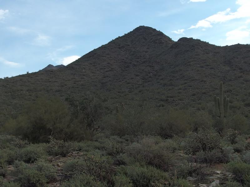
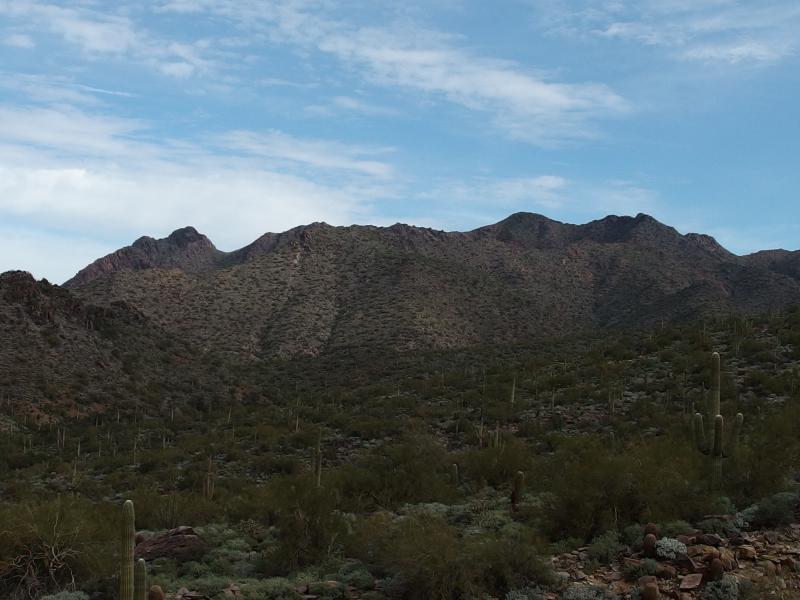
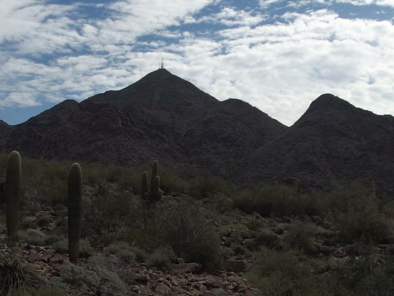
Getting closer to the mountain
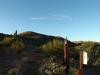
As we neared the little mountain that our hike would loop around I couldn't help but wish we were climbing that instead. I've heard it called Gateway Mountain informally, though its mild 2700' summit barely deservers a name compared to the monsters that lay nearby. McDowell and Thompson Peak are both within a few miles and are close to 4000' each. In fact, McDowell (and Drinkwater, one of its false peaks) form the other side of the saddle that we'd be crossing over today. I looked forward to getting a close look at it.
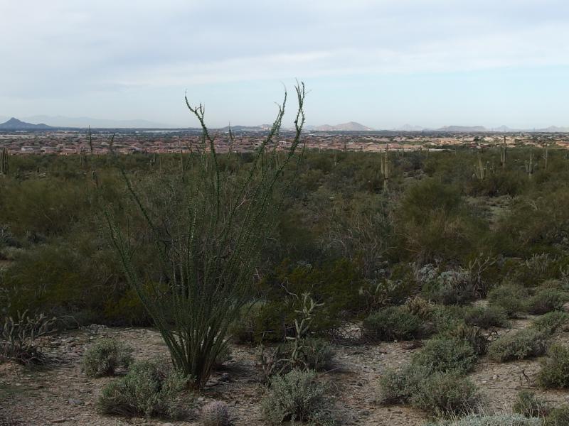
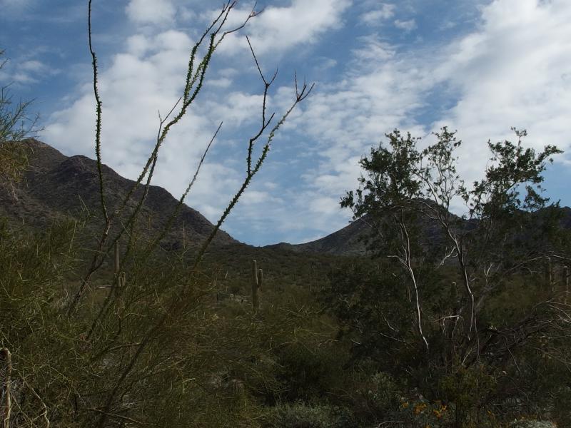
Northern Scottsdale beyond the Ocotillo
Tom's Thumb in the distance
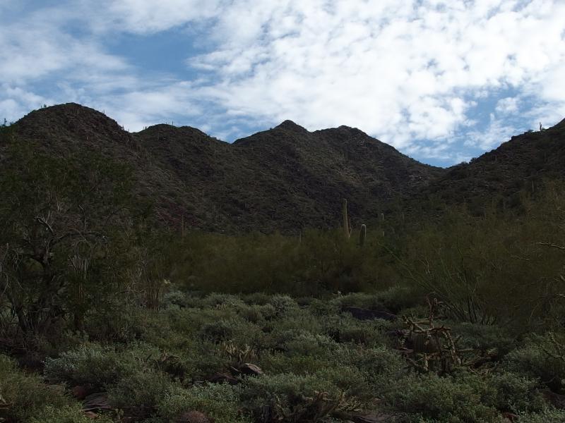
Elevation came slow on this hike. We were attacking the loop in a clockwise direction, first heading north and east in a long valley, and the climb wouldn't get serious until the route twisted south. Even then it was fairly mild. Overall we'd barely be gaining 600'. As we wound with the trail up the valley I enjoyed the view up to Tom's Thumb in the distance. Attacking that formation from this end would tack on a nice number of miles.
Noah wasn't really into the hike today. We stopped a few times to bribe him with snacks and water, as he seemed pretty hungry after the long drive, but he mostly wanted to get out of the carrier. The traffic was just too thick for that on the trail. We pushed on, setting an awkward balance between rushing to the saddle for Noah and keeping a more reasonable pace for everyone in our group. At least Sandy and Chris were along to help out with the impatient guy.
Northern hills and scrub
The many false peaks of Drinkwater
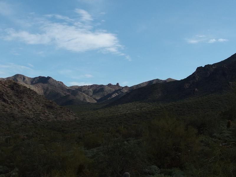
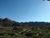
Once the trail finally started to climb, up loose gravel and hard rocks, more and more of McDowell/Drinkwater Peak began to show up. It was a long and rough looking ridge. It's technically not accessible, all reserved ground and such, though I've heard of plenty of hikers reaching the summit. The nearby Thompson Peak is easier to reach with a Jeep Trail zipping right up to the top. Chris and I eyed up the steep sides covered and sparse vegetation and discussed different routes up that would keep out of sight.
Our junction was elusive, sitting on the far side of a little cut in the hills, and when we reached it there was a collective sigh of relief. One fork headed further northeast in the general direction of Windgate Pass and our fork headed south to Gateway Pass. There was a few hundred feet of climb left. Chris and Sandy gave me the go ahead and I booked it, quickly making my way along this leg of the trail. I'd gain some extra time with Noah on the saddle while they caught up.
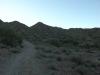
Trail up to the pass
This section of the hike was relatively quiet. Most hikers had either turned around at the junction or continued on for a more ambitious hike in the north. I passed by a handful of groups before reaching the saddle and swinging Noah and the carrier off my back. There wasn't much room for him up here, a dirt clearing only a few square yards in size, though I had a feeling that any free space for him to run around would be welcomed.
We stayed up there for the better part of twenty minutes. Once Chris and Sandy caught up they rested and cheered Noah on as he pounded his little legs and ran from one person to the next. We had to keep a close eye on him, both because of the hikers that continued up and over the pass and for the steep trails that bounded each side. Finally I called it, putting him back in the carrier, and we headed south down the pass.
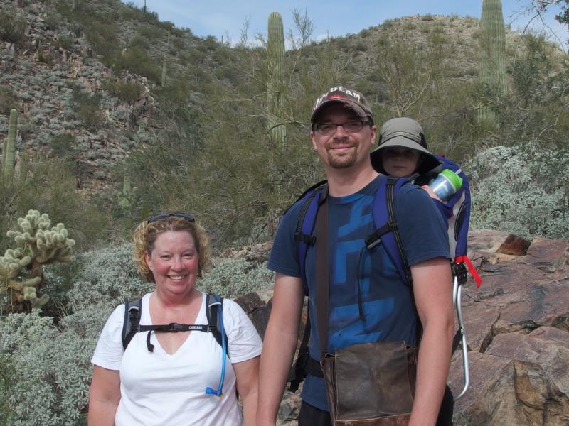
A group of happy, sweaty hikers
It was easy heading back down, the trail just sloped enough to tempt one into a light trot without worrying about getting too much momentum. We stopped once for a few quick pictures before reaching another trail junction. This time the other route led up to Bell Pass, which sits between Thompson and McDowell, with serious-looking hikers streaming up to it. Bell Pass is one of the more challenging hikes in the McDowell Range, climbing up over 3200' in height. We simply headed back down the hill towards the parking lot.
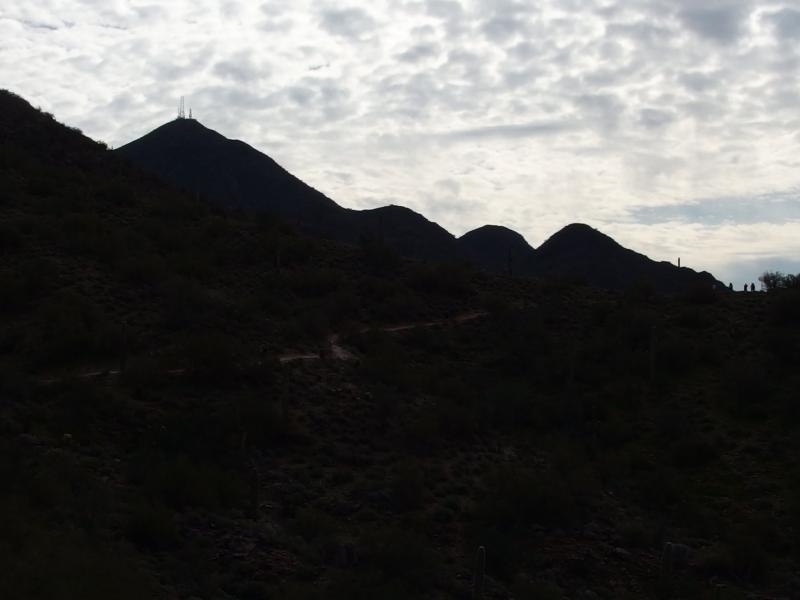
Radio towers over Thompson Peak
Distant Bell's Pass
On the way back down we passed by a group of unicylists. A large group, probably around fifty in all, armored with helmets and pads and tough gloves. Mountain biking is one thing - but unicyles on a hiking trail? Some drove their thick-wheeled cycles up, most walked them, and all of them looked ridiculous. Noah giggled.

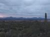
Mountains of Scottsdale
Before long we were at the trailhead and we split and headed our different ways. Noah and I had a long drive back down to south Gilbert. It had taken almost as long to drive here and back than it had to walk the short loop. Sure, it was nice to head out with Sandy, and Noah had a decent amount of fun. I'm just not sure if driving all the way to the McDowell Range was worth the short and crowded hike.
Comments (0)